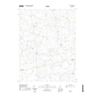
2019 Map of Belfast
USGS Topo · Published 2019About this map
The boundary between Highland Co and Adams Co divides this rural landscape, which is defined by the winding course of Ohio Brush Creek and its many tributaries. The area is dotted with small settlements like Belfast, Folsom, and Fairfax, which serve as the primary hubs for a network of township and county roads. Numerous family and community burial grounds, such as Hurst Cem, Hastings Cem, and Frazer Cem, are scattered throughout the hills, providing a detailed record of the families who settled this part of Southern Ohio. The northern portion of the map is dominated by the Ohio Brush Creek headwaters and the Lake of the Woods, while the southern reaches descend toward Jessup and May Hill. These features reveal a long-standing pattern of dispersed agricultural settlement along the ridges and creek valleys.
Find a feature on this map
93 named features on this map. Tap any name to fly to it.
Don’t see what you’re looking for? This feature index may not catch every label — zoom into the map to look around manually.
Map Details
Editions of this 2019 Belfast Map
This is the sole edition of this map. No revisions or reprints were ever made.
Other maps of this area

1915 · Bainbridge
USGS Topo · 1:48,000

1916 · Peebles
USGS Topo · 1:62,500

1917 · Bainbridge
USGS Topo · 1:62,500

1917 · Hillsboro
USGS Topo · 1:62,500

1918 · Peebles
USGS Topo · 1:62,500

1918 · Seaman
USGS Topo · 1:62,500

1944 · Hillsboro
USGS Topo · 1:62,500

1947 · Columbus
USGS Topo · 1:250,000

1957 · Huntington
USGS Topo · 1:250,000

1960 · Huntington
USGS Topo · 1:250,000