2000s (21st Century) Maps of Hocking County, Ohio
Explore 78 historic maps of Hocking County from the 2000s (21st Century). These maps offer a rare glimpse into what life looked like during the 2000s — showing old roads, neighborhoods, homes, and landmarks that have changed or disappeared over time.
Whether you're researching your family's past, planning a metal detecting trip, or studying how Hocking County's landscape evolved across the 2000s, these high-resolution maps are a powerful tool for exploring the history of this region.
- Focus on a specific era: All maps on this page are from the 2000s, giving you a focused view of this time period.
- See what’s changed: Compare century-old streets, trails, and buildings to today's modern landscape using overlays and satellite layers.
- Research with precision: Use these maps for genealogy, historical research, land use analysis, or educational projects.
- View, download, or print: Maps are fully viewable online in high resolution, and can be downloaded or printed for your own records.
Start exploring Hocking County's history through authentic maps from the 2000s. This is your window into the past.
Hocking County, OH maps
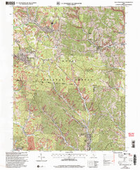
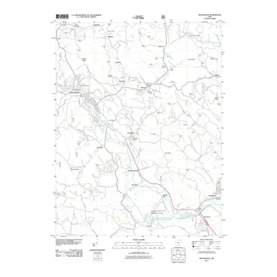
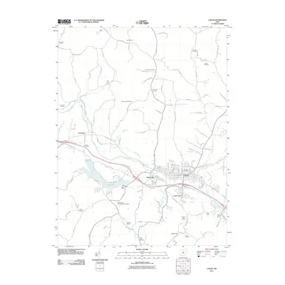
(78)- 2002 Map of Junction City, 2006 Print
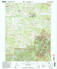 2002 Junction City2006 Print · USGSPerry and Fairfield counties are shown at the turn of the millennium as industrial remnants meet national forest lands. Local historians can trace old family sites like Harvey Cem and church congregations at Friendship Ch or Turkey Creek Ch.
 - 2002 Map of Nelsonville, 2006 Print
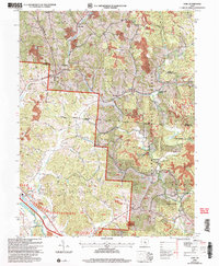
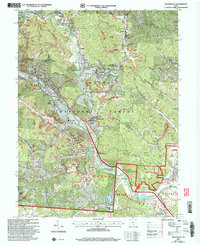 2002 Nelsonville2006 Print · USGSThe Hocking River valley at the start of the twenty-first century reveals a landscape of industrial history and forest conservation. Researchers can trace the legacy of coal mining and the Chesapeake and Ohio railroad near Buchtel and Strip Mine sites.
 - 2002 Map of New Plymouth, 2006 Print
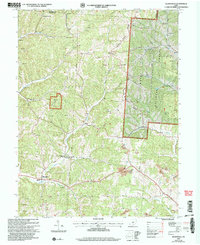
 2002 New Plymouth2006 Print · USGSHocking County's ridge-and-hollow terrain is captured here at the start of the millennium, showing a landscape shaped by both the national forest and intensive mining. Researchers can trace rural lineages through numerous sites like Ilesboro Cem, Morris Chapel Cem, and The Ridge Cem.
 - 2002 Map of Union Furnace, 2006 Print
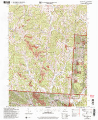
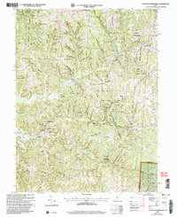
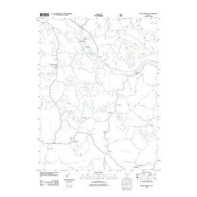
 2002 Union Furnace2006 Print · USGSThe southeastern Ohio hill country is documented here at the turn of the twenty-first century, showcasing a landscape defined by coal extraction and conservation. Researchers can trace family history at Haydenville Cem or locate the old Green Sch and the community of Union Furnace.
 - 2002 Map of New Straitsville, 2006 Print
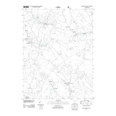
 2002 New Straitsville2006 Print · USGSThe coal country of Perry and Hocking counties is captured here at the start of the millennium, revealing a landscape of steep ridges and forest-bound settlements. Researchers can trace family sites at St Augustine Cem or locate vanished mining spots near Coalgate and New Pittsburg.
 - 2002 Map of Gore, 2006 Print
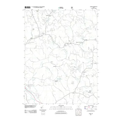
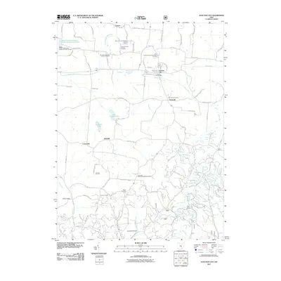
 2002 Gore2006 Print · USGSThe Hocking Valley hills reveal a landscape of mining and rail history at the start of the twenty-first century. Genealogists and industrial historians can trace family cemeteries like Davis Cem alongside coal-era relics such as the Bessie Tipple.
 - 2002 Map of Allensville, 2006 Print
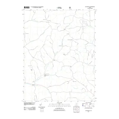
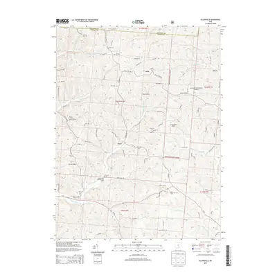
 2002 Allensville2006 Print · USGSVinton County at the turn of the millennium shows a landscape defined by forest reserves and deep-rooted rural settlements. Trace family history through Bell Cem and Garrett Cem, or locate landmarks like the Covered Bridge and Otterbein Chapel.
 - 2002 Map of South Bloomingville, 2006 Print
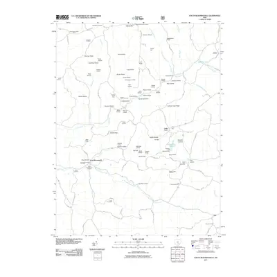
 2002 South Bloomingville2006 Print · USGSHocking County’s wooded hollows and creek valleys appear in fine detail during the early 2000s, as public forest lands expanded around local settlements. Researchers can locate many rural burial sites like St John the Baptist Cem or trace the area's schools and lookouts, including the South Bloomingville Sch and Rock House Lookout.
 - 2010 Map of Laurelville, 2010 Print
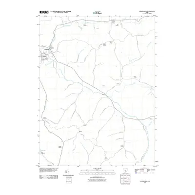 2010 Laurelville2010 Print · USGSCovers Hocking County, including Laurelville, Adelphi, and other nearby areas
 - 2010 Map of Clearport, 2010 Print
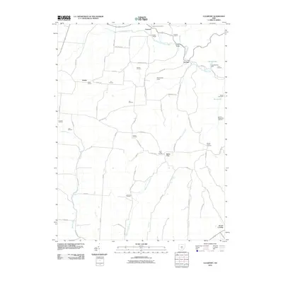 2010 Clearport2010 Print · USGSCovers Hocking County, including Drinkle, Clearport, and other nearby areas
 - 2010 Map of Rockbridge, 2010 Print
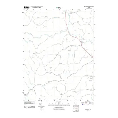 2010 Rockbridge2010 Print · USGSCovers Hocking County, including Sugar Grove, Berne Township, and other nearby areas
 - 2010 Map of Ratcliffburg, 2010 Print
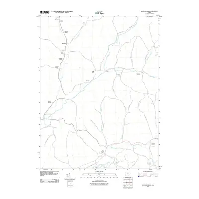 2010 Ratcliffburg2010 Print · USGSCovers Hocking County, including Eagle Mills, Ratcliffburg, and other nearby areas
 - 2011 Map of Nelsonville, 2011 Print
 2011 Nelsonville2011 Print · USGSCovers Hocking County, including Nelsonville, Chauncey, and other nearby areas
 - 2011 Map of New Plymouth, 2011 Print
 2011 New Plymouth2011 Print · USGSCovers Hocking County, including Ewing, Blackjack, and other nearby areas
 - 2011 Map of Gore, 2011 Print
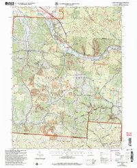
 2011 Gore2011 Print · USGSCovers Hocking County, including Logan, Webb Summit, and other nearby areas
 - 2011 Map of Allensville, 2011 Print
 2011 Allensville2011 Print · USGSCovers Hocking County, including Allensville, Royal, and other nearby areas
 - 2011 Map of Junction City, 2011 Print
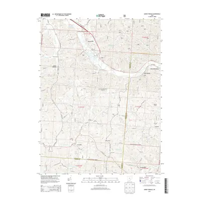
 2011 Junction City2011 Print · USGSCovers Hocking County, including Junction City, Crossenville, and other nearby areas
 - 2011 Map of South Bloomingville, 2011 Print
 2011 South Bloomingville2011 Print · USGSCovers Hocking County, including Gibisonville, Cedar Grove, and other nearby areas
 - 2011 Map of New Straitsville, 2011 Print
 2011 New Straitsville2011 Print · USGSCovers Hocking County, including New Straitsville, Shawnee, and other nearby areas
 - 2011 Map of Union Furnace, 2011 Print
 2011 Union Furnace2011 Print · USGSCovers Hocking County, including Nelsonville, Starr, and other nearby areas
 - 2011 Map of Logan, 2011 Print
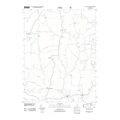
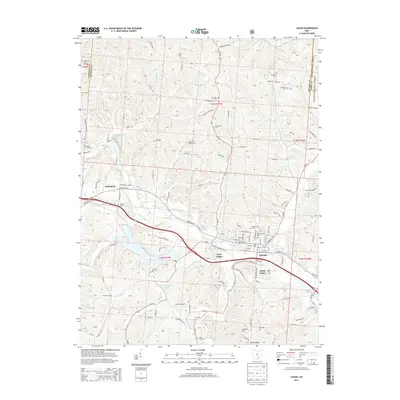
 2011 Logan2011 Print · USGSCovers Hocking County, including Logan, West Logan, and other nearby areas
 - 2011 Map of Bremen, 2011 Print
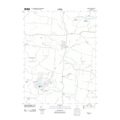 2011 Bremen2011 Print · USGSCovers Hocking County, including Bremen, Avlon, and other nearby areas
 - 2013 Map of Logan, 2013 Print
 2013 Logan2013 Print · USGSCovers Hocking County, including Logan, West Logan, and other nearby areas
 - 2013 Map of Union Furnace, 2013 Print
 2013 Union Furnace2013 Print · USGSCovers Hocking County, including Nelsonville, Starr, and other nearby areas
 - 2013 Map of Allensville, 2013 Print
 2013 Allensville2013 Print · USGSCovers Hocking County, including Allensville, Royal, and other nearby areas
Showing maps 1-25 of 78
Top cities of Hocking County
Frequently asked questions
- What are the different types of historical maps available for Hocking County?
- What is the oldest map of Hocking County?
- Where can I purchase historical maps of Hocking County for my home or office?
- Where can I download high-res historical maps of Hocking County?
- Are there historical topographic maps available for Hocking County?
- Is there historical aerial imagery available for Hocking County?
- Where are historical maps of Hocking County sourced from?