Old Maps of Bowling Green Township, Ohio
Explore 28 old maps of Bowling Green Township, spanning from 1909 to today. These high-resolution historic maps reveal how streets, neighborhoods, landmarks, and natural features evolved over time — perfect for genealogy, metal detecting, research, and local history exploration.
What you can do with these maps:
- See how Bowling Green Township changed over time: Compare historical maps to modern-day views to trace roads, homesites, rail lines & more.
- View detailed metadata: Each map includes creators, publishers, year, scale, and archive source.
- Overlay maps with satellite & LiDAR: Visualize the past alongside modern tools to explore terrain & human change.
- Trusted historical sources: Maps sourced from the USGS, Library of Congress, and other archives.
- Access maps your way: View online, download high-res files, or order prints for personal or research use.
Start exploring old maps of Bowling Green Township to uncover forgotten places, hidden landmarks, and the deep history beneath your feet.
Bowling Green Township, OH maps
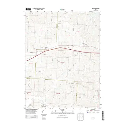
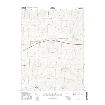
(28)- 1909 Map of Thornville, 1938 Print
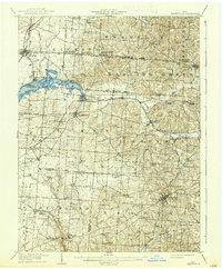 1909 Thornville1938 Print · USGSLicking, Perry, and Fairfield counties are shown at the turn of the century as the local rail and canal-era economy remained vibrant. Researchers can trace the ancestral locations of numerous rural institutions including Porter School, Fairmount Church, and the Atherton P O at Jacksontown.2 unique versions available
 - 1910 Map of Zanesville, 1939 Print
 1910 Zanesville1939 Print · USGSMuskingum and Perry counties are shown here in the early twentieth century as Zanesville emerged as a powerhouse of rail and river commerce. Researchers can trace historic transport routes like the National Road or locate local landmarks such as Moxahala Park and the Fultonham (Axline PO).2 unique versions available
 - 1947 Map of Columbus, 1948 Print
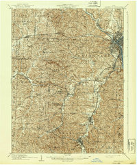
 1947 Columbus1948 Print · USGSCentral Ohio in the late 1940s is captured in this survey, showing the post-war transition of its rail hubs and military airfield expansions. Genealogists and historians can trace the paths of the Ohio Canal, the Pennsylvania RR lines, and the Camp Sherman Military Reservation.
 - 1961 Map of Columbus
 1961 Columbus1961 Print · USGSCentral and Southern Ohio are captured here in the early sixties, as the region's industrial rail hubs and military bases reached their peak. Genealogists and historians can trace the transition from urban Columbus to rural townships along the Scioto River, locating Lockbourne USAF and old junctions like Washington Court House.
 - 1961 Map of Thornville, 1962 Print
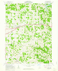
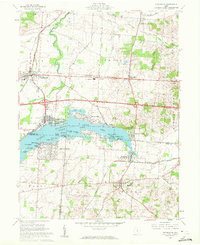 1961 Thornville1962 Print · USGSThe Buckeye Lake region in the early sixties showcases a landscape defined by lakeside recreation and historic surveying boundaries. Trace family roots at Friendship Cem or study the rail connections at Thornport and Thornville.5 unique versions available
 - 1961 Map of Glenford, 1963 Print
 1961 Glenford1963 Print · USGSThe Licking and Perry County border in the early sixties was a landscape defined by historic rail junctions and ancient landmarks. Genealogists and researchers can locate family sites near Glenford, Ellis Chapel, and the Highland Cem or trace the early oil industry and Indian Mound site.3 unique versions available
 - 1962 Map of Columbus
 1962 Columbus1962 Print · USGSCentral Ohio during the early sixties reveals a transition from the industrial corridors of Columbus to the forested ridges of the south. Genealogists and historians can trace the rail networks of the Baltimore & Ohio RR and find local landmarks like Washington Court House and Camp Sherman Military Reservation.
 - 1962 Map of Gratiot, 1963 Print
 1962 Gratiot1963 Print · USGSLicking and Muskingum counties come together during the early 1960s, a landscape defined by the high ground of Flint Ridge and small crossroads towns. Researchers can locate family landmarks like the Poplar Fork Cem or trace the route of the New York Central past a historic Covered Bridge.3 unique versions available
 - 1967 Map of Columbus, 1969 Print
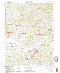
 1967 Columbus1969 Print · USGSCentral Ohio during the late sixties serves as a vital corridor of rail and aviation, from the industrial streets of Springfield to the hangar lines of Lockbourne Air Force Base. Genealogists and researchers can trace the growth of towns like Circleville and London or locate rural landmarks such as St Paul church and the London Correctional Institution.2 unique versions available
 - 1984 Map of Lancaster, 1985 Print
 1984 Lancaster1985 Print · USGSCentral Ohio and the Hocking Valley come into focus during the mid-eighties as suburban growth meets the wooded ridges of the southeast. Researchers can trace transportation networks through Buckeye Lake or locate landmarks like Flint Ridge State Memorial and Moxahala Park.
 - 1992 Map of Glenford, 1995 Print
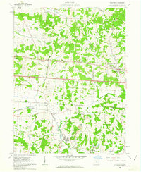
 1992 Glenford1995 Print · USGSPerry and Licking counties appear here in the early nineties, showing a landscape shaped by ancient history and the oil industry. Genealogists can trace family landmarks like Ellis Chapel, Highland Cem, and the prominent Indian Mound near Claylick Creek.
 - 1992 Map of Thornville, 1995 Print
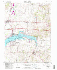 1992 Thornville1995 Print · USGSBuckeye Lake and its surrounding communities are captured here in the early nineties, showing a landscape defined by water and rural heritage. Researchers can trace historic property boundaries like the Refugee Lands line or locate family names at Hebron Cem and Thornville.
 - 1992 Map of Gratiot, 1995 Print
 1992 Gratiot1995 Print · USGSThe Licking and Muskingum county line comes alive in the early nineties, showing a landscape shaped by both the historic National Road and modern industry. Researchers can trace rural genealogy at Mt Olive Ch Cem or locate the old Mt Sterling post office near active Strip Mines.
 - 2010 Map of Gratiot, 2010 Print
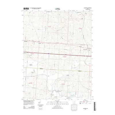
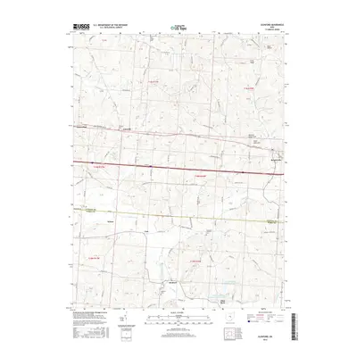
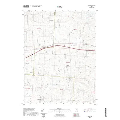
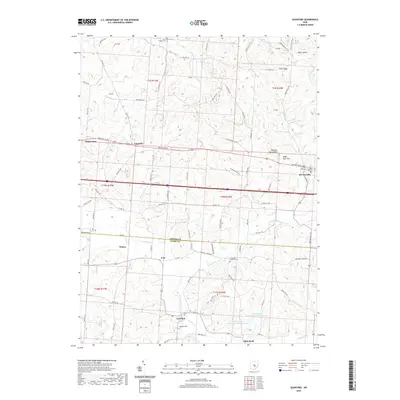
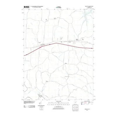 2010 Gratiot2010 Print · USGSCovers Bowling Green Township, including Hopewell, Gratiot, and other nearby areas
 - 2010 Map of Glenford, 2010 Print
 2010 Glenford2010 Print · USGSCovers Bowling Green Township, including Glenford, Glass Rock, and other nearby areas
 - 2010 Map of Thornville, 2010 Print
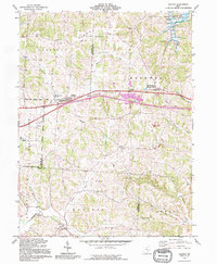
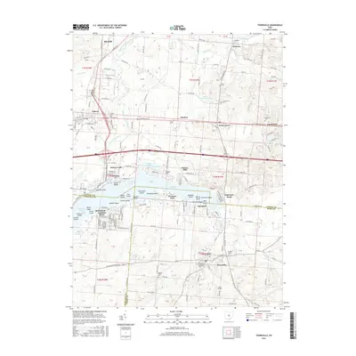
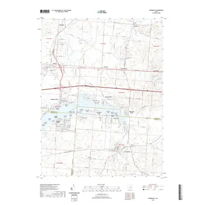
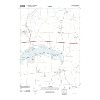 2010 Thornville2010 Print · USGSCovers Bowling Green Township, including Heath, Hebron, and other nearby areas
 - 2013 Map of Thornville, 2013 Print
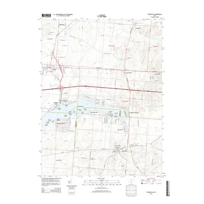 2013 Thornville2013 Print · USGSCovers Bowling Green Township, including Heath, Hebron, and other nearby areas
 - 2013 Map of Gratiot, 2013 Print
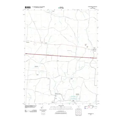
 2013 Gratiot2013 Print · USGSCovers Bowling Green Township, including Hopewell, Gratiot, and other nearby areas
 - 2013 Map of Glenford, 2013 Print
 2013 Glenford2013 Print · USGSCovers Bowling Green Township, including Glenford, Glass Rock, and other nearby areas
 - 2016 Map of Glenford, 2016 Print
 2016 Glenford2016 Print · USGSCovers Bowling Green Township, including Glenford, Glass Rock, and other nearby areas
 - 2016 Map of Gratiot, 2016 Print
 2016 Gratiot2016 Print · USGSCovers Bowling Green Township, including Hopewell, Gratiot, and other nearby areas
 - 2016 Map of Thornville, 2016 Print
 2016 Thornville2016 Print · USGSCovers Bowling Green Township, including Heath, Hebron, and other nearby areas
 - 2019 Map of Thornville, 2019 Print
 2019 Thornville2019 Print · USGSCovers Bowling Green Township, including Heath, Hebron, and other nearby areas
 - 2019 Map of Gratiot, 2019 Print
 2019 Gratiot2019 Print · USGSCovers Bowling Green Township, including Hopewell, Gratiot, and other nearby areas
 - 2019 Map of Glenford, 2019 Print
 2019 Glenford2019 Print · USGSCovers Bowling Green Township, including Glenford, Glass Rock, and other nearby areas
Showing maps 1-25 of 28
Top cities near Bowling Green Township
- Newark historical maps
- Lancaster historical maps
- Heath historical maps
- Granville historical maps
- New Lexington historical maps
- Hopewell historical maps
See more
Top neighborhoods of Bowling Green Township
Frequently asked questions
- What are the different types of historical maps available for Bowling Green Township?
- What is the oldest map of Bowling Green Township?
- Where can I purchase historical maps of Bowling Green Township for my home or office?
- Where can I download high-res historical maps of Bowling Green Township?
- Are there historical topographic maps available for Bowling Green Township?
- Is there historical aerial imagery available for Bowling Green Township?
- Where are historical maps of Bowling Green Township sourced from?