2000s (21st Century) Maps of Miami Township, Ohio
Explore 15 historic maps of Miami Township from the 2000s (21st Century). These maps offer a rare glimpse into what life looked like during the 2000s — showing old roads, neighborhoods, homes, and landmarks that have changed or disappeared over time.
Whether you're researching your family's past, planning a metal detecting trip, or studying how Miami Township's landscape evolved across the 2000s, these high-resolution maps are a powerful tool for exploring the history of this region.
- Focus on a specific era: All maps on this page are from the 2000s, giving you a focused view of this time period.
- See what’s changed: Compare century-old streets, trails, and buildings to today's modern landscape using overlays and satellite layers.
- Research with precision: Use these maps for genealogy, historical research, land use analysis, or educational projects.
- View, download, or print: Maps are fully viewable online in high resolution, and can be downloaded or printed for your own records.
Start exploring Miami Township's history through authentic maps from the 2000s. This is your window into the past.
Miami Township, OH maps
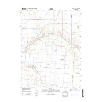
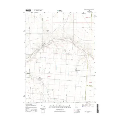
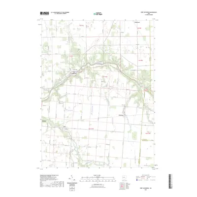
(15)- 2010 Map of Port Jefferson, 2010 Print
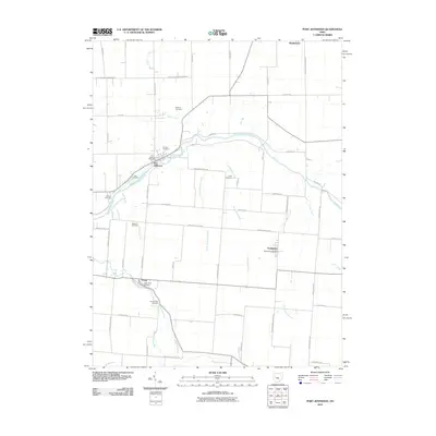 2010 Port Jefferson2010 Print · USGSCovers Miami Township, including Sidney, Port Jefferson, and other nearby areas
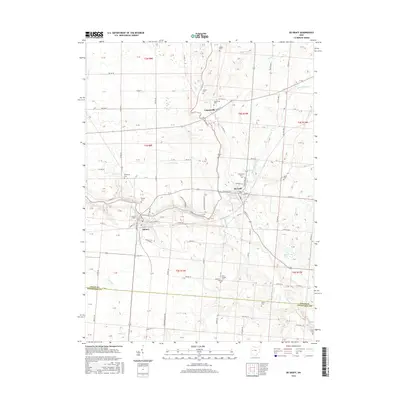
 - 2010 Map of De Graff, 2010 Print
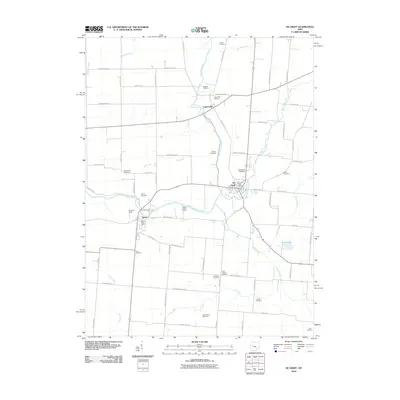 2010 De Graff2010 Print · USGSCovers Miami Township, including De Graff, Quincy, and other nearby areas
 - 2010 Map of Bellefontaine, 2010 Print
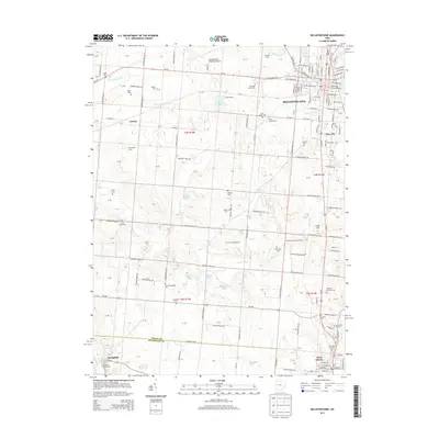
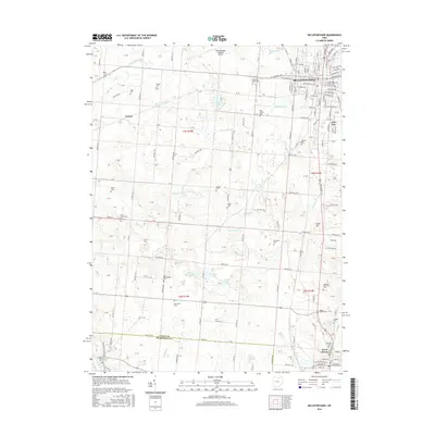
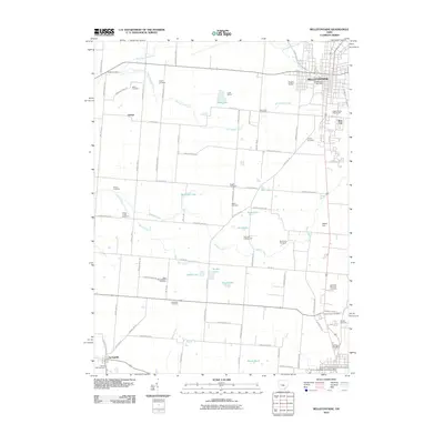 2010 Bellefontaine2010 Print · USGSCovers Miami Township, including Bellefontaine, West Liberty, and other nearby areas
 - 2013 Map of De Graff, 2013 Print
 2013 De Graff2013 Print · USGSCovers Miami Township, including De Graff, Quincy, and other nearby areas
 - 2013 Map of Bellefontaine, 2013 Print
 2013 Bellefontaine2013 Print · USGSCovers Miami Township, including Bellefontaine, West Liberty, and other nearby areas
 - 2013 Map of Port Jefferson, 2013 Print
 2013 Port Jefferson2013 Print · USGSCovers Miami Township, including Sidney, Port Jefferson, and other nearby areas
 - 2016 Map of De Graff, 2016 Print
 2016 De Graff2016 Print · USGSCovers Miami Township, including De Graff, Quincy, and other nearby areas
 - 2016 Map of Bellefontaine, 2016 Print
 2016 Bellefontaine2016 Print · USGSCovers Miami Township, including Bellefontaine, West Liberty, and other nearby areas
 - 2016 Map of Port Jefferson, 2016 Print
 2016 Port Jefferson2016 Print · USGSCovers Miami Township, including Sidney, Port Jefferson, and other nearby areas
 - 2019 Map of Bellefontaine, 2019 Print
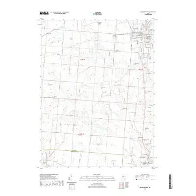 2019 Bellefontaine2019 Print · USGSCovers Miami Township, including Bellefontaine, West Liberty, and other nearby areas
 - 2019 Map of De Graff, 2019 Print
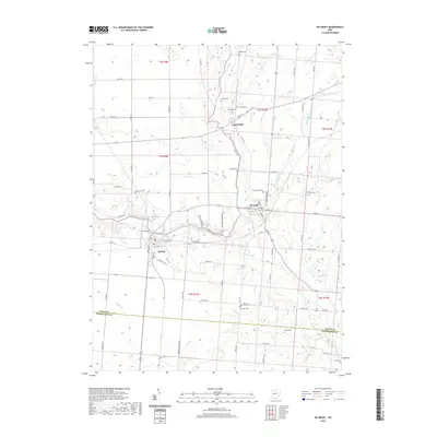 2019 De Graff2019 Print · USGSCovers Miami Township, including De Graff, Quincy, and other nearby areas
 - 2019 Map of Port Jefferson, 2019 Print
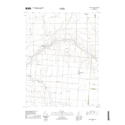 2019 Port Jefferson2019 Print · USGSCovers Miami Township, including Sidney, Port Jefferson, and other nearby areas
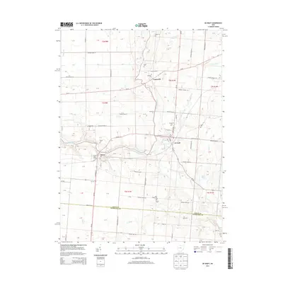
 - 2023 Map of De Graff, 2023 Print
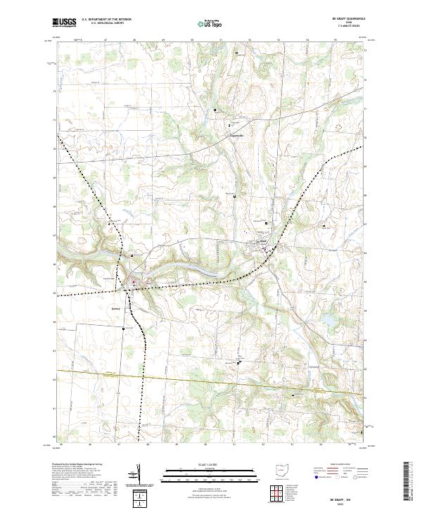 2023 De Graff2023 Print · USGSThe rural border of Logan and Champaign counties comes alive in this modern survey of the Great Miami River valley. Family historians can locate numerous burial grounds like Newman Cem and Armstrong Cem, while tracing the riverside reaches of De Graff and Quincy.
 - 2023 Map of Bellefontaine, 2023 Print
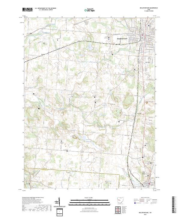 2023 Bellefontaine2023 Print · USGSLogan County is depicted in the early twenty-first century, anchored by the seat at Bellefontaine and the rural reaches of West Liberty. Researchers can trace dozens of family and community landmarks, including the Logan County Courthouse, New Philadelphia Cem, and Jewel Hill.
 - 2023 Map of Port Jefferson, 2023 Print
 2023 Port Jefferson2023 Print · USGSWestern Ohio's agricultural landscape and the winding Great Miami River define this area in the 2020s. Researchers can locate numerous family burial sites like Cedar Point Cem and Indian Creek Cem near the village of Pemberton.
End of results
Showing maps 1-15 of 15
Top cities near Miami Township
- Sidney historical maps
- Bellefontaine historical maps
- Urbana historical maps
- Saint Paris historical maps
- West Liberty historical maps
- Russells Point historical maps
See more
Top neighborhoods of Miami Township
Frequently asked questions
- What are the different types of historical maps available for Miami Township?
- What is the oldest map of Miami Township?
- Where can I purchase historical maps of Miami Township for my home or office?
- Where can I download high-res historical maps of Miami Township?
- Are there historical topographic maps available for Miami Township?
- Is there historical aerial imagery available for Miami Township?
- Where are historical maps of Miami Township sourced from?