2020s Maps of Amherst Township, Ohio
Explore 4 historic maps of Amherst Township from the 2020s. These maps offer a rare glimpse into what life looked like during the 2020s — showing old roads, neighborhoods, homes, and landmarks that have changed or disappeared over time.
Whether you're researching your family's past, planning a metal detecting trip, or studying how Amherst Township's landscape evolved across the 2020s, these high-resolution maps are a powerful tool for exploring the history of this region.
- Focus on a specific era: All maps on this page are from the 2020s, giving you a focused view of this time period.
- See what’s changed: Compare century-old streets, trails, and buildings to today's modern landscape using overlays and satellite layers.
- Research with precision: Use these maps for genealogy, historical research, land use analysis, or educational projects.
- View, download, or print: Maps are fully viewable online in high resolution, and can be downloaded or printed for your own records.
Start exploring Amherst Township's history through authentic maps from the 2020s. This is your window into the past.
Amherst Township, OH maps
(4)- 2023 Map of Kipton, 2023 Print
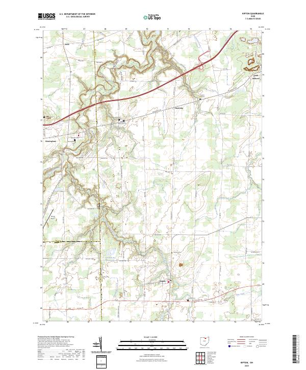 2023 Kipton2023 Print · USGSKipton and the rural townships of North Central Ohio appear here in the early twenty-first century, showing a landscape of scattered villages and family farmsteads. Genealogists can locate several historic burial sites like Harrison Cemetery and Sanders Hill Cemetery, alongside landmarks like Firelands Boy Scout Lake.
 - 2023 Map of Oberlin, 2023 Print
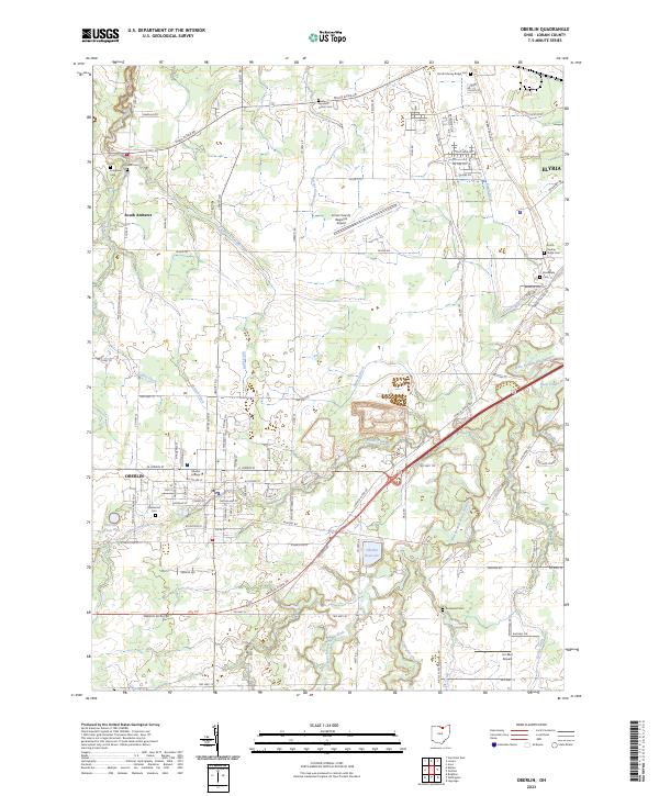 2023 Oberlin2023 Print · USGSIn the Lorain County heartland, this contemporary survey shows the academic and residential growth of the twenty-first century. Genealogists can locate family sites across numerous grounds like Westwood Cem and Agudath Achim Cem, while tracing the course of Plum Creek.
 - 2023 Map of Lorain, 2023 Print
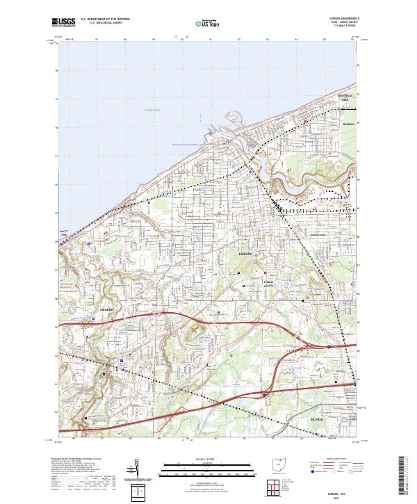 2023 Lorain2023 Print · USGSLorain and its surrounding lakefront communities are captured here in the early twenty-first century as the industrial landscape meets the shore. Genealogists can trace family records across Elmwood Cemetery, Middle Ridge Cemetery, and Salem Cemetery.
 - 2023 Map of Vermilion East, 2023 Print
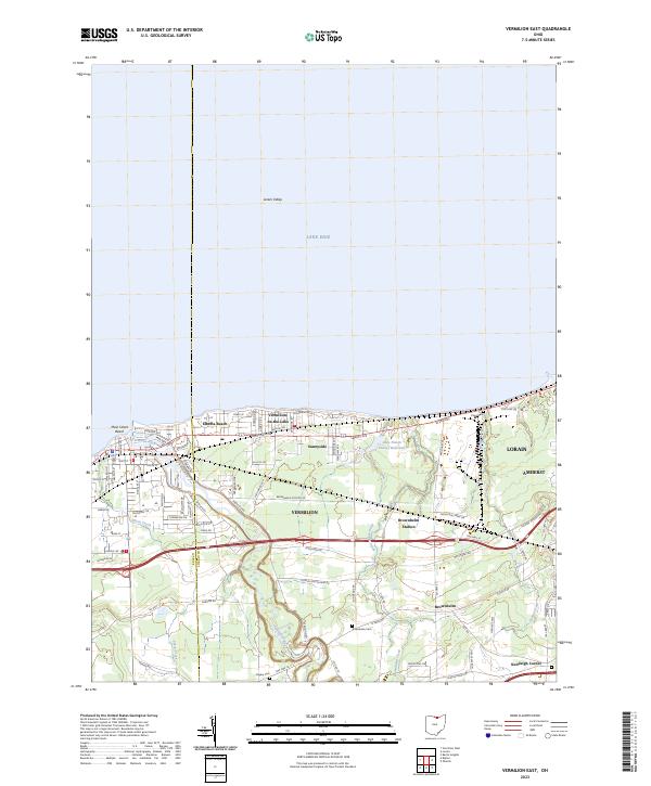 2023 Vermilion East2023 Print · USGSThe Lake Erie shoreline near the Lorain and Erie county line shows a landscape of coastal communities and deep river valleys in this modern survey. Researchers can locate family landmarks like Rugby Cem and Kendeigh Corner or trace the winding course of the Vermilion River.
End of results
Showing maps 1-4 of 4
Top cities near Amherst Township
- Lorain historical maps
- Elyria historical maps
- North Ridgeville historical maps
- Avon historical maps
- Avon Lake historical maps
- Amherst historical maps
See more
Top neighborhoods of Amherst Township
Frequently asked questions
- What are the different types of historical maps available for Amherst Township?
- What is the oldest map of Amherst Township?
- Where can I purchase historical maps of Amherst Township for my home or office?
- Where can I download high-res historical maps of Amherst Township?
- Are there historical topographic maps available for Amherst Township?
- Is there historical aerial imagery available for Amherst Township?
- Where are historical maps of Amherst Township sourced from?