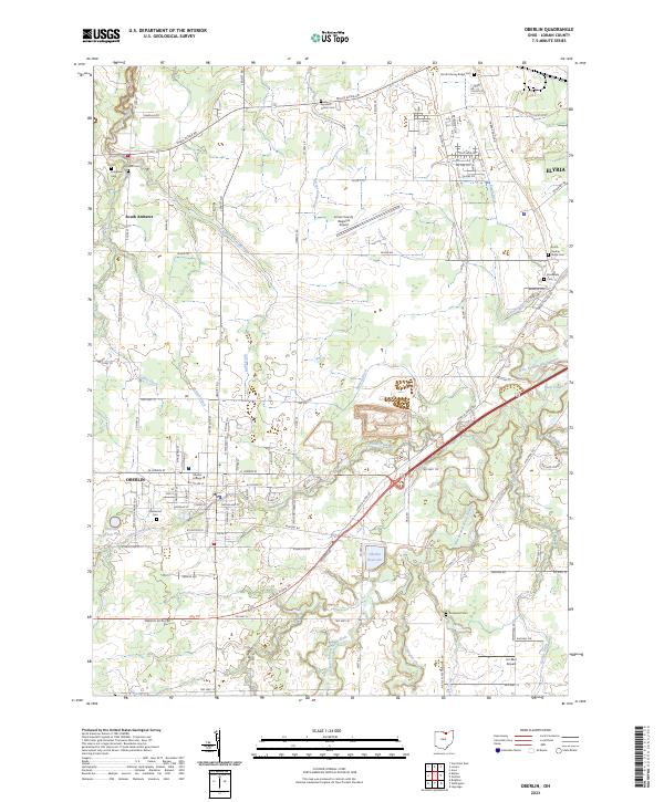
2023 Map of Oberlin
USGS Topo · Published 2023About this map
Oberlin College serves as the cultural and geographic anchor of this portion of Lorain County, with its campus integrated into the downtown Oberlin grid. The surrounding landscape is defined by an intricate network of drainage infrastructure, featuring named channels such as Dudley Ditch, Herrick Ditch, and Squires Ditch that feed into the West Branch Black River. These engineered waterways highlight the area's agricultural history and the ongoing effort to manage the flat terrain between South Amherst and the outskirts of Elyria.
Find a feature on this map
101 named features on this map. Tap any name to fly to it.
Don’t see what you’re looking for? This feature index may not catch every label — zoom into the map to look around manually.
Map Details
Editions of this 2023 Oberlin Map
This is the sole edition of this map. No revisions or reprints were ever made.
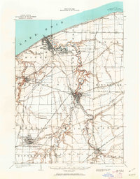
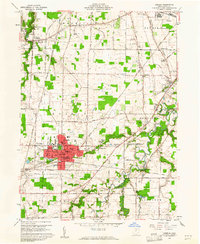
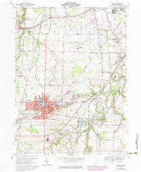
Historical Maps of Amherst Township Through Time
5 maps found