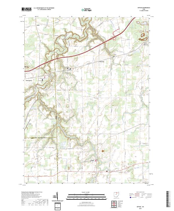
2023 Map of Kipton
USGS Topo · Published 2023About this map
Kipton and the surrounding agricultural landscapes of Lorain, Erie, and Huron counties are defined by a complex network of waterways and early pioneer burial grounds. The Vermilion River and its various tributaries, including the East Fork Vermilion River and Edson Creek, carve through the terrain, historically shaping the settlement patterns of villages like Birmingham and Henrietta. Local history is deeply etched into the land through numerous family and community graveyards such as Harrison Cem, Andress Cem, and the Henrietta Methodist Cem.
Find a feature on this map
76 named features on this map. Tap any name to fly to it.
Don’t see what you’re looking for? This feature index may not catch every label — zoom into the map to look around manually.
Map Details
Editions of this 2023 Kipton Map
This is the sole edition of this map. No revisions or reprints were ever made.
Other maps of this area

1901 · Oberlin
USGS Topo · 1:62,500

1903 · Vermilion
USGS Topo · 1:62,500

1903 · Oberlin
USGS Topo · 1:62,500

1904 · Wellington
USGS Topo · 1:62,500

1906 · Wellington
USGS Topo · 1:62,500

1908 · New London
USGS Topo · 1:62,500

1956 · Toledo
USGS Topo · 1:250,000

1959 · Berlin Heights
USGS Topo · 1:24,000

1959 · Vermilion East
USGS Topo · 1:24,000

1959 · Vermilion West
USGS Topo · 1:24,000