Old Maps of Chatham Township, Ohio for Metal Detecting
Plan your next treasure hunt with 38 historic maps of Chatham Township. Find old homesites, ghost towns, trails, and gathering spots that may be lost to time — perfect for identifying promising metal detecting locations.
- Locate forgotten sites: Uncover places like long-lost settlements, abandoned rail lines, or gathering spots.
- Plan better hunts: Use map overlays combined with LiDAR or satellite views to narrow in on historically rich areas.
- Made for detectorists: Thousands of hobbyists use these maps to discover relics, coins, and hidden history.
Use these historic maps to boost your research and find new opportunities beneath the surface of Chatham Township.
Chatham Township, OH maps
(38)- 1904 Map of Medina, 1954 Print
 1904 Medina1954 Print · USGSMedina and its surrounding townships are captured in the early 1900s, showing a landscape defined by the intersection of early pikes and competing steam and electric railroads. Genealogists can trace family connections in vanished stops and crossroads like River Styx, Abbeyville, and Sherman Corners.2 unique versions available
 - 1904 Map of Wellington, 1958 Print
 1904 Wellington1958 Print · USGSNorth-central Ohio at the turn of the century is a network of growing rail towns and agricultural townships. Genealogists can trace family roots through settlements like Wellington, Homerville, and Lodi, while following the paths of the Wheeling and Lake Erie RR and Salt Creek.
 - 1906 Map of Medina, 1941 Print
 1906 Medina1941 Print · USGSIn Medina County at the dawn of the twentieth century, the rural landscape is a bustling network of electric rail lines and crossroads hamlets. Trace the early paths of the Cleveland Southwestern and Columbus Electric RR and find vanished rail stops like Lester or the community of River Styx.
 - 1906 Map of Wellington, 1942 Print
 1906 Wellington1942 Print · USGSNorth-central Ohio at the opening of the twentieth century was a landscape of thriving rail-junction towns and fertile creek bottoms. Genealogists and historians can trace the early footprints of Wellington, Sullivan, and Lodi as they were connected by the Baltimore and Ohio and several electric rail lines.
 - 1950 Map of Cleveland
 1950 Cleveland1950 Print · USGSCovers Chatham Township, including Cleveland, Akron, and other nearby areas
 - 1956 Map of Cleveland, 1967 Print
 1956 Cleveland1967 Print · USGSNortheast Ohio and Western Pennsylvania are shown at their industrial height during the mid-fifties, from the steel mills to the lakeshore. Researchers can trace the massive Ravenna Arsenal, the Ohio Turnpike, and vanished rail sidings of the B & O RR.3 unique versions available
 - 1956 Map of Toledo, 1968 Print
 1956 Toledo1968 Print · USGSNorthwest Ohio and the Lake Erie shoreline are shown in detail during the late fifties, showcasing a landscape of heavy industry, railroads, and island communities. Genealogists and historians can trace rail networks like the Chesapeake & Ohio RR or locate landmarks such as the Erie Proving Ground and Kelleys Island.4 unique versions available
 - 1960 Map of Lagrange, 1963 Print
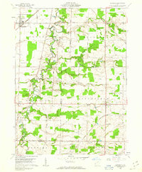 1960 Lagrange1963 Print · USGSSouthern Lorain County was a landscape of rail crossings and oil derricks in the early sixties. Researchers can trace family history at Knowles Cem, locate the Preston Oil Field, and follow the New York Central through Lagrange.2 unique versions available
 - 1961 Map of Toledo
 1961 Toledo1961 Print · USGSThe western basin of Lake Erie and the industrial heart of Northern Ohio are captured here during the post-war era. Researchers can trace historical rail lines like the New York Central or locate landmarks like the Erie Ordnance Depot and Pelee Island.
 - 1961 Map of Leroy, 1963 Print
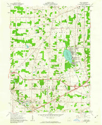 1961 Leroy1963 Print · USGSMedina County is captured in the early sixties during a period of transition between its agricultural roots and its role as a lakeside destination. Genealogists can trace family plots at Friendsville Cem or explore the rail-linked economies of Lodi and Seville.3 unique versions available
 - 1961 Map of Lodi, 1963 Print
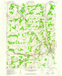 1961 Lodi1963 Print · USGSMedina County is captured in the early sixties as a network of rail-side villages and rural crossroads communities. Trace the vanished footprints of old farmsteads through family burial grounds like Vanderhoef Cem and crossroads like Garden Isle or Esselburn.3 unique versions available
 - 1961 Map of Mallet Creek, 1963 Print
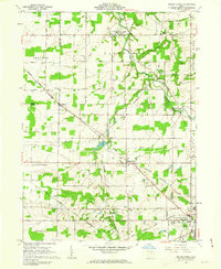 1961 Mallet Creek1963 Print · USGSMedina County agriculture and rail industry meet in the early sixties at the junction of two major lines. Researchers can trace family roots through the York Cem and Branch Cem or locate the old Liverpool Sch and Buckeye High Sch.4 unique versions available
 - 1962 Map of Cleveland
 1962 Cleveland1962 Print · USGSNortheast Ohio and the Pennsylvania borderlands appear here during the industrial peak of the early sixties. Genealogists and historians can trace the expansive rail lines of the Nickel Plate Road and the growth of suburbs from Parma to Lyndhurst.
 - 1986 Map of Lorain
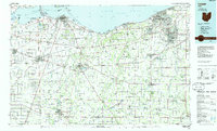 1986 Lorain1986 Print · USGSThe Lake Erie shoreline and North Central Ohio interior are shown in detail during the mid-eighties, from the industrial docks of Lorain to the peninsulas of Sandusky. Researchers can trace historic transport routes like the Baltimore and Ohio Railroad or locate significant landmarks like Oberlin College and Cedar Point.2 unique versions available
 - 1986 Map of Cleveland South
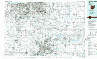 1986 Cleveland South1986 Print · USGSNortheast Ohio in the mid-eighties shows the expanding reach of the Akron and Cleveland suburbs into the surrounding countryside. Trace the industrial rail networks of the Erie Lackawanna RR or find local landmarks like Kent State University and the Ravenna Arsenal.
 - 1994 Map of Cleveland South
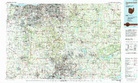 1994 Cleveland South1994 Print · USGSThe metropolitan corridor between Akron and Cleveland is shown here in the mid-nineties during a period of significant suburban growth. Researchers can trace the path of the Ohio Turnpike or explore expansive recreation lands like West Branch State Park.
 - 1994 Map of Westfield Center, 1997 Print
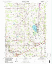 1994 Westfield Center1997 Print · USGSMedina County comes into focus in the mid-nineties, showing the established lakeside communities and rural township lines. Researchers can trace family sites at Seltzer Cem, locate the Lodi Airport, or study the grounds of Westfield Center.
 - 1994 Map of Mallet Creek, 1997 Print
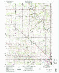 1994 Mallet Creek1997 Print · USGSMedina County farmland and rural townships are captured here in the late twentieth century. Genealogists can trace family sites at Rest Acre Cem and St Pauls Ch, or locate old railroad hamlets like Erhart and Lester.
 - 2010 Map of Mallet Creek, 2010 Print
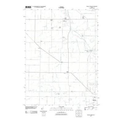 2010 Mallet Creek2010 Print · USGSMedina County comes into focus in the early twenty-first century as a landscape of rural crossroads and historic cemeteries. Researchers can trace family roots at York Cemetery or Saint Martin of Tours Cemetery and locate old hubs like Valley City Station.
 - 2010 Map of Westfield Center, 2010 Print
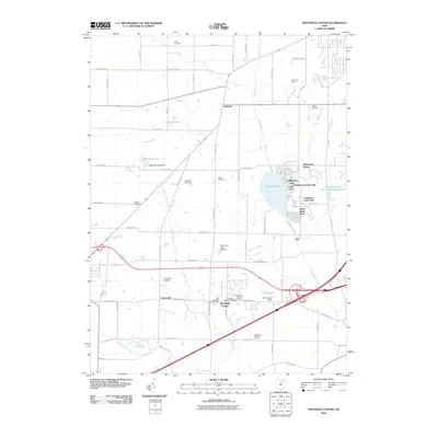 2010 Westfield Center2010 Print · USGSMedina County at the start of the 21st century shows a landscape where historic village centers like Westfield Center meet established lakeside resorts. Researchers can trace family history through numerous local sites including Friendsville Cemetery and the Old Westfield Center Cemetery.
 - 2010 Map of Lodi, 2010 Print
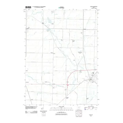 2010 Lodi2010 Print · USGSMedina County at the start of the 2010s shows a landscape of river-fed hamlets and historic burial grounds. Genealogists can locate family landmarks like Vanderhoef Cemetery, Maple Hill Cemetery, and the Lodi Post Office.
 - 2010 Map of Lagrange, 2010 Print
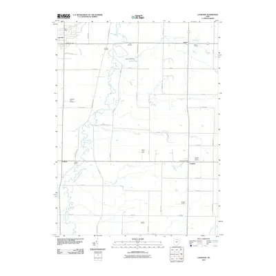 2010 Lagrange2010 Print · USGSMedina County townships like Litchfield and Penfield maintained their strong agricultural and aviation roots into the early 2000s. Genealogists and local researchers can trace family lands near Aldrich Cemetery, the Preston Oil Field, and Meadow-aire Airport.
 - 2013 Map of Lagrange, 2013 Print
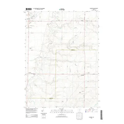 2013 Lagrange2013 Print · USGSMedina and Lorain counties are mapped here during the early twenty-first century, showcasing a landscape of family farms and rural villages. Genealogists can locate several historic burial sites like Belden Cem and trace agricultural holdings such as Conrad Farms.
 - 2013 Map of Lodi, 2013 Print
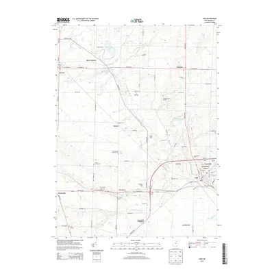 2013 Lodi2013 Print · USGSMedina County rural life is captured here in the early 21st century, showing the established villages of Lodi and Spencer amidst a landscape of family-run farms. Researchers can trace ancestral locations through numerous sites like Maple Hill Cem, Pawnee, and Spencer Lake.
 - 2013 Map of Mallet Creek, 2013 Print
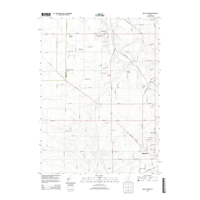 2013 Mallet Creek2013 Print · USGSThe northwestern edge of Medina is captured here during a period of modern expansion into its rural surroundings. Researchers can trace family history through a high density of local cemeteries, including Abbeyville Cem, Greenhoe Cem, and the Saint Martin of Tours Cem.
Showing maps 1-25 of 38
Top cities near Chatham Township
- Strongsville historical maps
- Brunswick historical maps
- Medina historical maps
- Ashland historical maps
- Oberlin historical maps
- Rittman historical maps
See more
Top neighborhoods of Chatham Township
Frequently asked questions
- What are the different types of historical maps available for Chatham Township?
- What is the oldest map of Chatham Township?
- Where can I purchase historical maps of Chatham Township for my home or office?
- Where can I download high-res historical maps of Chatham Township?
- Are there historical topographic maps available for Chatham Township?
- Is there historical aerial imagery available for Chatham Township?
- Where are historical maps of Chatham Township sourced from?