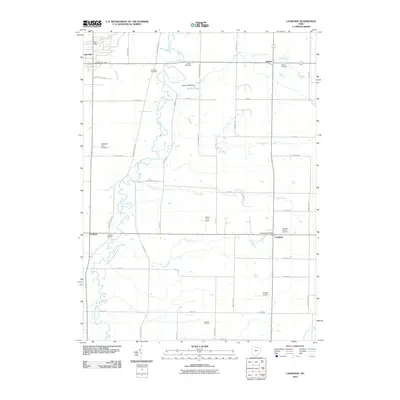
2010 Map of Lagrange
USGS Topo · Published 2010About this map
Litchfield and the surrounding townships in Medina and Lorain counties are defined by a rhythmic landscape of agricultural fields and meandering waterways at the dawn of the 21st century. The East Branch Black River carves a sinuous path through the western portion of the region, flanked by several small airports like Meadow-aire Airport and Kruggel Airport. This period reveals a mix of enduring family farmsteads and modern energy extraction, as seen in the Preston Oil Field located in the south.
Find a feature on this map
50 named features on this map. Tap any name to fly to it.
Don’t see what you’re looking for? This feature index may not catch every label — zoom into the map to look around manually.
Map Details
Editions of this 2010 Lagrange Map
This is the sole edition of this map. No revisions or reprints were ever made.
Other maps of this area

1901 · Oberlin
USGS Topo · 1:62,500

1902 · Berea
USGS Topo · 1:62,500

1903 · Oberlin
USGS Topo · 1:62,500

1904 · Berea
USGS Topo · 1:62,500

1904 · Medina
USGS Topo · 1:62,500

1904 · Wellington
USGS Topo · 1:62,500

1906 · Medina
USGS Topo · 1:62,500

1906 · Wellington
USGS Topo · 1:62,500

1950 · Cleveland
USGS Topo · 1:250,000

1953 · West View
USGS Topo · 1:24,000