Old Maps of Five Points, Ohio for Academic Research
Study the evolution of Five Points with 13 high-resolution historic maps. Whether you're teaching, researching, or modeling changes in land use, these maps provide essential visual documentation of urban, environmental, and geographic change.
- Analyze long-term change: Track patterns in development, transportation, and natural features.
- Ideal for environmental or urban studies: Support academic projects with primary historical map data.
- Use in the classroom or lab: Educators and researchers rely on these maps to bring historical context to life.
These maps are a powerful tool for teaching, research, and visualizing how Five Points has changed over the decades.
Five Points, OH maps
(13)- 1907 Map of Keno, 1919 Print
 1907 Keno1919 Print · USGSMeigs County and the Ohio River valley appear in high detail just after the turn of the century, showing a landscape defined by river trade and rail. Researchers can trace family sites at Nease Settlement, find the Minersville PO, or locate old schools like Morningstar School and Redbrush School.3 unique versions available
 - 1949 Map of Clarksburg
 1949 Clarksburg1949 Print · USGSThe upper Ohio River valley and the industrial heart of West Virginia come into focus during this post-war period. Genealogists and researchers can trace the rail corridors of the Baltimore and Ohio and locate centers like Fairmont, Grafton, and Waynesburg.
 - 1956 Map of Clarksburg, 1966 Print
 1956 Clarksburg1966 Print · USGSThe Ohio River valley and the industrial heart of West Virginia are seen here in the mid-1950s as rail and river commerce thrived. Researchers can trace historic transport lines like the Baltimore and Ohio RR and locate ancestral homes in Clarksburg, Moundsville, or Parkersburg.2 unique versions available
 - 1960 Map of Chester, 1962 Print
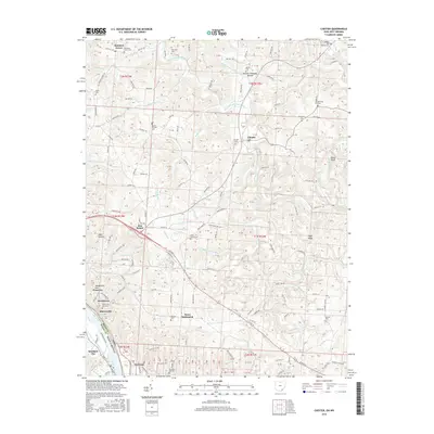
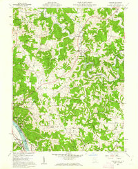 1960 Chester1962 Print · USGSMeigs County and the Ohio River riverfront thrived in the early sixties, balancing heavy industry with rural ridge-top life. Researchers can trace ancestral lands through family sites like Nease Settlement, the Welsh Town Cem, and the Chester Hill Country Club.4 unique versions available
 - 1961 Map of Clarksburg
 1961 Clarksburg1961 Print · USGSThe mid-century industrial and river landscapes of West Virginia and Ohio are detailed here, centered on the Ohio River. Researchers can trace the Baltimore and Ohio rail lines connecting towns like Parkersburg, Clarksburg, and Monongah.
 - 1981 Map of Parkersburg, 1984 Print
 1981 Parkersburg1984 Print · USGSThe Ohio River valley at the start of the 1980s reveals a landscape shaped by river commerce and the rail networks of the Baltimore and Ohio RR. Genealogists and historians can trace the development of riverfront communities like Parkersburg, Marietta, and Williamstown, alongside rural landmarks like Blennerhassett Island and Elizabeth.
 - 1988 Map of Clarksburg, 1989 Print
 1988 Clarksburg1989 Print · USGSThe central Appalachians are documented in detail during the late eighties, showing the industrial and river-based economies of West Virginia, Ohio, and Pennsylvania. Researchers can trace historic rail routes like the B & O RR and locate river towns from St Marys to Parkersburg.
 - 1994 Map of Chester, 1998 Print
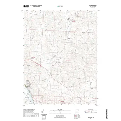
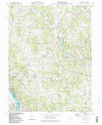 1994 Chester1998 Print · USGSMeigs County riverside and hill country are captured here in the mid-1990s as the river economy transitions. Genealogists can locate family sites at the Nease Settlement or the Welsh Town, and trace rural landmarks like Pine Grove Cem and St Johns Ch.
 - 2011 Map of Chester, 2011 Print
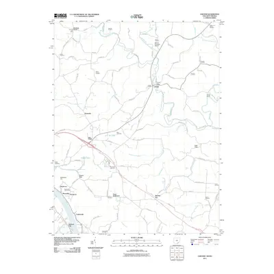 2011 Chester2011 Print · USGSCovers Five Points, including Chester, Pomeroy, and other nearby areas
 - 2013 Map of Chester, 2013 Print
 2013 Chester2013 Print · USGSCovers Five Points, including Chester, Pomeroy, and other nearby areas
 - 2016 Map of Chester, 2016 Print
 2016 Chester2016 Print · USGSCovers Five Points, including Chester, Pomeroy, and other nearby areas
 - 2019 Map of Chester, 2019 Print
 2019 Chester2019 Print · USGSCovers Five Points, including Chester, Pomeroy, and other nearby areas
 - 2023 Map of Chester, 2023 Print
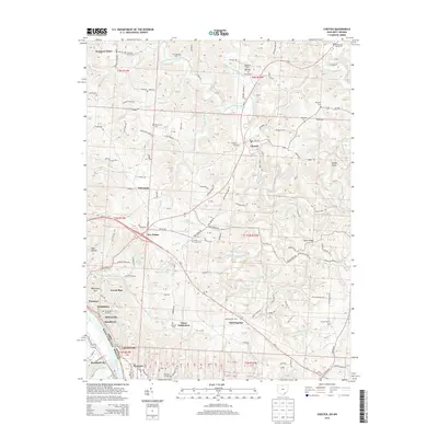
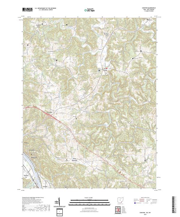 2023 Chester2023 Print · USGSThe Ohio River bend south of Meigs County comes to life in this recent study of the riverfront and its interior uplands. Genealogists can trace family names through numerous sites like Pine Grove Cem, Mount Herman Cem, and the historic Nease Settlement.
End of results
Showing maps 1-13 of 13
Top cities near Five Points
- Point Pleasant historical maps
- Gallipolis historical maps
- Ravenswood historical maps
- Middleport historical maps
- Addison historical maps
- Chester historical maps
See more
Frequently asked questions
- What are the different types of historical maps available for Five Points?
- What is the oldest map of Five Points?
- Where can I purchase historical maps of Five Points for my home or office?
- Where can I download high-res historical maps of Five Points?
- Are there historical topographic maps available for Five Points?
- Is there historical aerial imagery available for Five Points?
- Where are historical maps of Five Points sourced from?