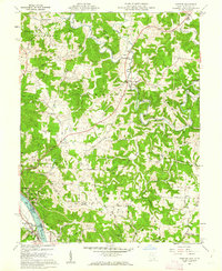
1960 Map of Chester
USGS Topo · Published 1962About this map
Meigs County coal and salt heritage is on display along the Ohio River bend, where the industrial hamlets of Minersville, Syracuse, and Hartford City crowd the northern bank. These riverfront settlements, connected by the B & O RR, contrast with the agricultural uplands where old crossroads like Chester and Nease Settlement are marked by family-named landmarks such as the Massar and Koenig Cem and Kennedy Cem.
Find a feature on this map
61 named features on this map. Tap any name to fly to it.
Don’t see what you’re looking for? This feature index may not catch every label — zoom into the map to look around manually.
Map Details
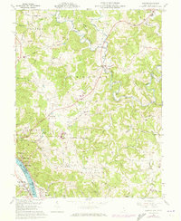
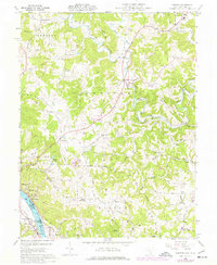
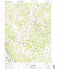
Editions of this 1960 Chester Map
4 editions found
Other maps of this area

1907 · Pomeroy
USGS Topo · 1:62,500

1907 · Keno
USGS Topo · 1:62,500

1908 · Ravenswood
USGS Topo · 1:62,500

1908 · Point Pleasant
USGS Topo · 1:62,500

1926 · Ravenswood
USGS Topo · 1:62,500

1926 · Point Pleasant
USGS Topo · 1:62,500

1928 · Ravenswood
USGS Topo · 1:62,500

1929 · Point Pleasant
USGS Topo · 1:62,500

1947 · Columbus
USGS Topo · 1:250,000

1949 · Clarksburg
USGS Topo · 1:250,000