2000s (21st Century) Maps of Jackson Township, Ohio
Explore 24 historic maps of Jackson Township from the 2000s (21st Century). These maps offer a rare glimpse into what life looked like during the 2000s — showing old roads, neighborhoods, homes, and landmarks that have changed or disappeared over time.
Whether you're researching your family's past, planning a metal detecting trip, or studying how Jackson Township's landscape evolved across the 2000s, these high-resolution maps are a powerful tool for exploring the history of this region.
- Focus on a specific era: All maps on this page are from the 2000s, giving you a focused view of this time period.
- See what’s changed: Compare century-old streets, trails, and buildings to today's modern landscape using overlays and satellite layers.
- Research with precision: Use these maps for genealogy, historical research, land use analysis, or educational projects.
- View, download, or print: Maps are fully viewable online in high resolution, and can be downloaded or printed for your own records.
Start exploring Jackson Township's history through authentic maps from the 2000s. This is your window into the past.
Jackson Township, OH maps
(24)- 2002 Map of New Matamoras, 2006 Print
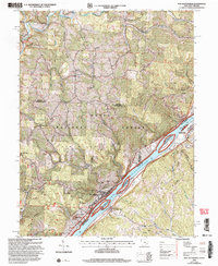 2002 New Matamoras2006 Print · USGSThe Ohio River valley at the turn of the new millennium shows a landscape defined by riverside settlements and deep forest ridges. Genealogists and hikers can locate sites like Salem Hall, Zion Ch, and the high ridges of the Wayne National Forest.
 - 2002 Map of Round Bottom, 2006 Print
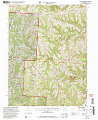 2002 Round Bottom2006 Print · USGSThe riverfront communities of Monroe County thrive along the Ohio River at the start of the twenty-first century. Genealogists and historians can trace numerous rural landmarks like Winklers Mill, Chapel Hill Ch, and the Emma Grove Cem.
 - 2002 Map of Antioch, 2006 Print
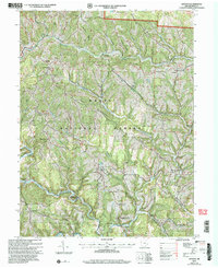 2002 Antioch2006 Print · USGSMonroe County’s rural ridges and creek valleys are documented here at the turn of the century within the National Forest. Genealogists can trace family landmarks like Fletchers Chapel, Moffets Ch, and the Covered Bridge near Antioch.
 - 2002 Map of Paden City, 2006 Print
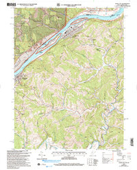 2002 Paden City2006 Print · USGSThe Ohio River valley and its surrounding ridges come into focus here at the start of the 2000s, showing the intersection of river-bound industry and deep-hollow settlements. Genealogists can trace family sites at Van Camp Cem, Locust Grove Ch, and the riverside town of Sistersville.
 - 2011 Map of New Matamoras, 2011 Print
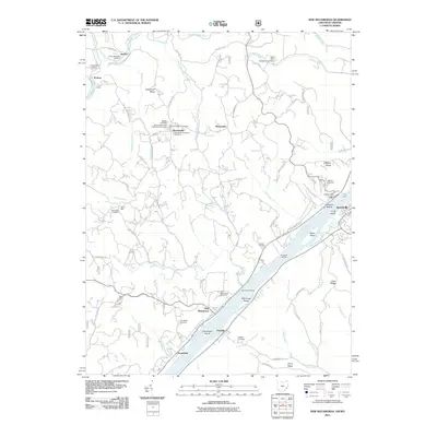 2011 New Matamoras2011 Print · USGSThe Ohio River valley near Grandview and New Matamoras remains a landscape of river-dependent settlements and high ridge farms in the early twenty-first century. Researchers can locate the Fly Ferry, the Fly Post Office, and numerous burial grounds like Salem Hall Cemetery.
 - 2011 Map of Round Bottom, 2011 Print
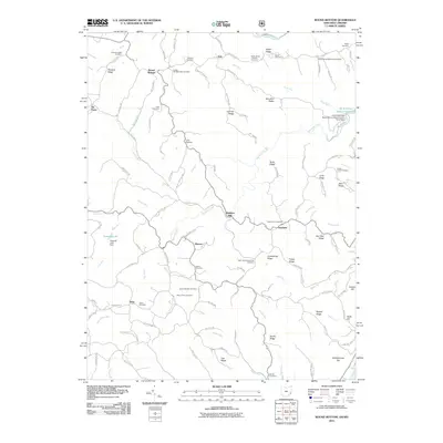 2011 Round Bottom2011 Print · USGSMonroe County and the Ohio River borderlands are shown here in the early twenty-first century, revealing a landscape deeply rooted in family history. Researchers can trace numerous local lineages through sites like Winklers Mill, Kraft Cemetery, and Mount Zion Cemetery.
 - 2011 Map of Paden City, 2011 Print
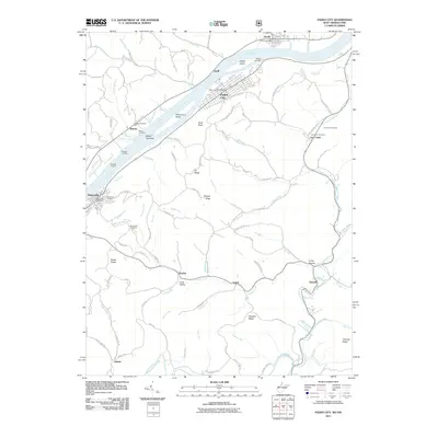 2011 Paden City2011 Print · USGSThe Ohio River valley in the early twenty-first century reveals a landscape of industrial river towns and deep-hollow settlements. Genealogists and local historians can trace family roots through numerous sites like Oakwood Cemetery, the Jackson Township Hall, and the riverfront at Sistersville.
 - 2011 Map of Antioch, 2011 Print
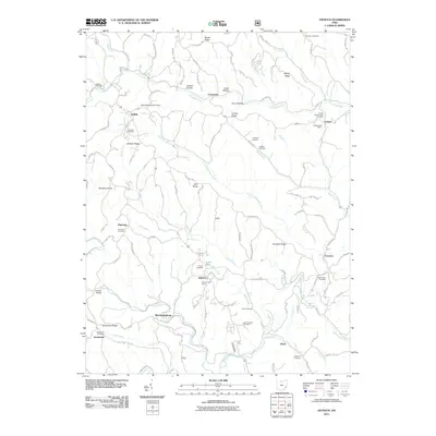 2011 Antioch2011 Print · USGSMonroe County’s dissected plateau is shown here in the early 2000s, where the Little Muskingum River winds past rural crossroads and family homesteads. Genealogists can trace deep local roots at the Antioch Cemetery, Old Otts Cemetery, and the Foraker Bridge.
 - 2013 Map of Round Bottom, 2013 Print
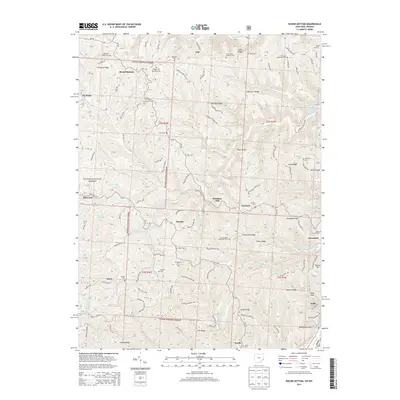 2013 Round Bottom2013 Print · USGSMonroe County's riverfront and ridge-top communities are documented here in the early 21st century, showing the enduring layout of the Ohio River valley. Genealogists can trace family landmarks at Saint Johns Methodist Cem, Emma Grove Cem, and the old settlement at Winklers Mill.
 - 2013 Map of Antioch, 2013 Print
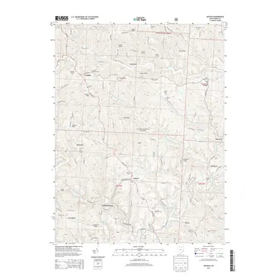 2013 Antioch2013 Print · USGSMonroe County settlements and family cemeteries are documented here in the early twenty-first century. Genealogists and local historians can trace the rural landscape of Antioch and Mechanicsburg or locate burial sites like Antioch Cem and Unity Baptist Cem.
 - 2013 Map of New Matamoras, 2013 Print
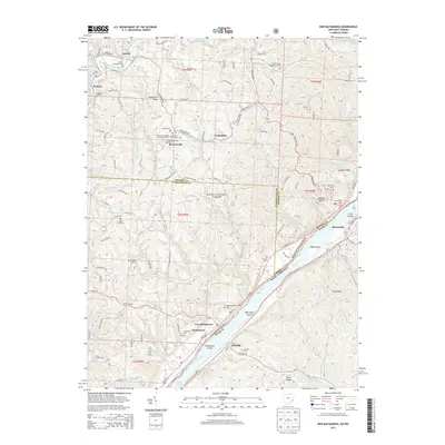 2013 New Matamoras2013 Print · USGSThe Ohio River valley at the turn of the 21st century reveals a landscape of ridge-top settlements and riverside industrial towns. Genealogists can trace family names at Jericho Methodist Cem, the German Lutheran Cem, or the Springer Grave near New Matamoras.
 - 2014 Map of Paden City, 2014 Print
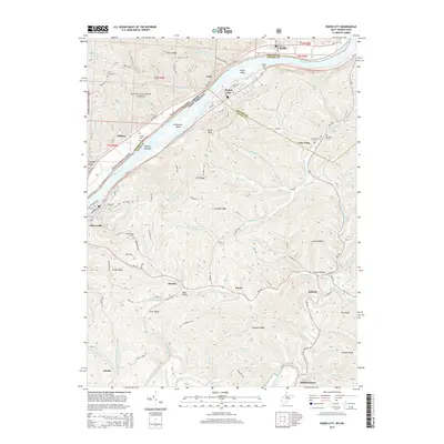 2014 Paden City2014 Print · USGSThe riverfront communities of Sistersville and Paden City are captured here during the early twenty-first century along the banks of the Ohio River. Local historians can trace family locations through numerous sites like Oakwood Cem, Van Camp Cem, and the rural community at Pursley.
 - 2016 Map of Paden City, 2016 Print
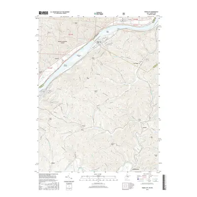 2016 Paden City2016 Print · USGSThe Ohio River valley and the high ridges of Tyler County are shown in detail during the mid-2010s. Local researchers can trace the roads and hollows connecting Paden City and Middlebourne through old sites like Greenwood Cem and Van Camp.
 - 2016 Map of Round Bottom, 2016 Print
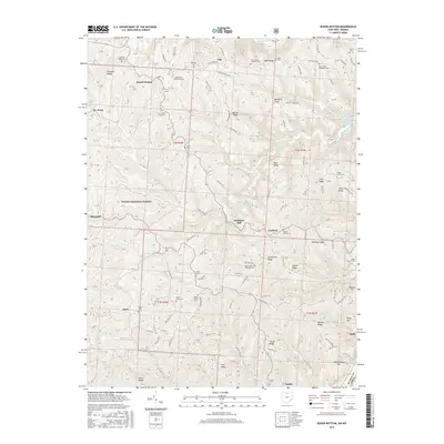 2016 Round Bottom2016 Print · USGSMonroe County, Ohio, is documented here in the mid-2010s, showing a river-border landscape of steep ridges and historic Methodist settlements. Genealogists can locate family burial sites like Mount Sinai Methodist Cem and trace old roads leading to Winklers Mill and Benwood.
 - 2016 Map of Antioch, 2016 Print
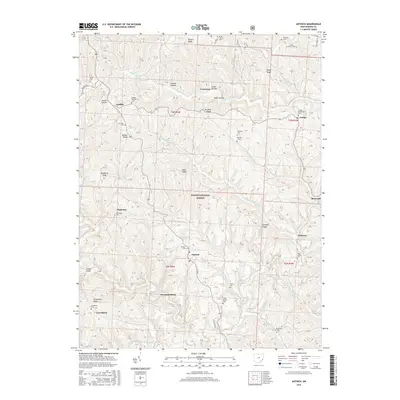 2016 Antioch2016 Print · USGSMonroe County's dissected plateau is shown in detail during the mid-2010s, where small settlements are tucked between the ridges of the Wayne National Forest. Family historians can locate numerous rural burial sites like Moffett Methodist Cem or trace the winding Little Muskingum River past Foraker Bridge.
 - 2016 Map of New Matamoras, 2016 Print
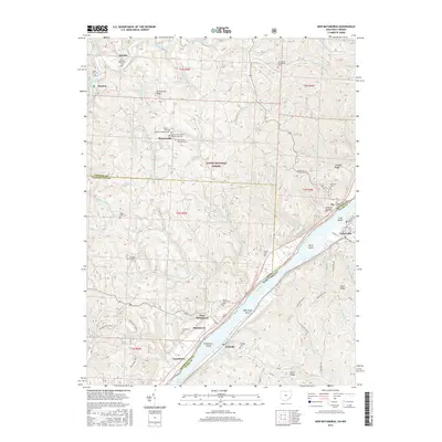 2016 New Matamoras2016 Print · USGSThe Ohio River corridor at the West Virginia border is shown here in the mid-2010s, capturing the riverfront towns of New Matamoras and Friendly. Researchers can locate several lineage-rich sites including Grandview Cem, Hensel Cem, and Saint Pauls Evangelical Cem.
 - 2019 Map of Round Bottom, 2019 Print
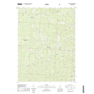 2019 Round Bottom2019 Print · USGSMonroe County's riverfront and ridge-top communities are documented here during the late twenty-teens. Researchers can trace family history through numerous upland burial sites like Chapel Hill-Methodist Cem and follow old routes to Winklers Mill or Dairy.
 - 2019 Map of New Matamoras, 2019 Print
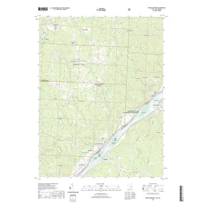 2019 New Matamoras2019 Print · USGSThe Ohio River valley at the end of the 2010s reveals a landscape of riverfront villages and protected forest ridges. Researchers can locate many family burial sites such as Jericho Methodist Cem and trace the contours of Mill Creek Island.
 - 2019 Map of Antioch, 2019 Print
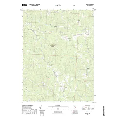 2019 Antioch2019 Print · USGSMonroe County's dissected plateau comes into focus in this recent survey of the ridges and hollows surrounding the Antioch settlement. Genealogists and local historians can trace family locations through numerous sites like New Antioch Cem, Laings Presbyterian Cem, and the rural crossroads of Mechanicsburg.
 - 2019 Map of Paden City, 2019 Print
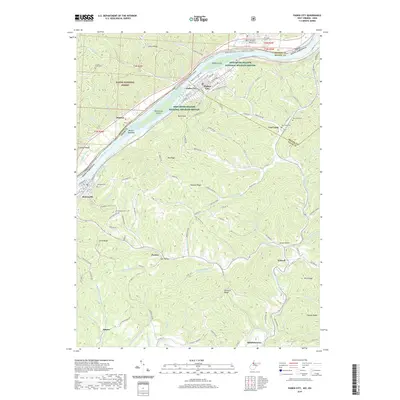 2019 Paden City2019 Print · USGSThe West Virginia riverfront comes into focus during the late 2010s, showing the settled valleys and rugged ridge systems along the Ohio. Genealogists and local historians can trace rural landmarks from Oakwood Cem to the hillside community of Van Camp.
 - 2023 Map of New Matamoras, 2023 Print
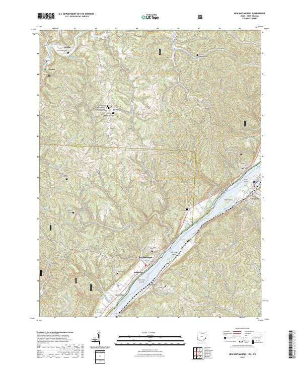 2023 New Matamoras2023 Print · USGSThe Ohio River borderlands are shown here in recent detail, tracing the river's path between the wooded ridges of Monroe County and the West Virginia shoreline. Researchers can locate family landmarks like the Springer Grave, Salem Hall Cem, and the riverfront landing at New Matamoras.
 - 2023 Map of Antioch, 2023 Print
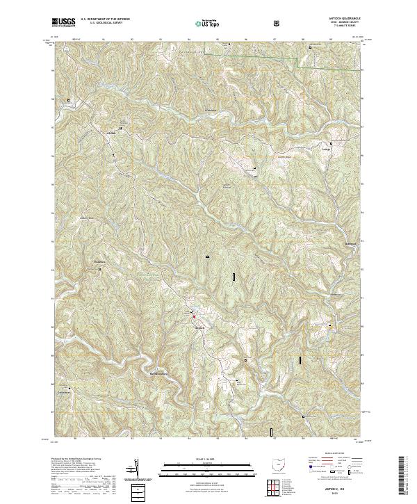 2023 Antioch2023 Print · USGSMonroe County’s rugged hills and narrow valleys are documented here in the early twenty-first century, showing the enduring rural layout of southeastern Ohio. Researchers can trace family history through numerous remote sites like Moffett Methodist Cem, Lentz Cem, and the community of Antioch.
 - 2023 Map of Paden City, 2023 Print
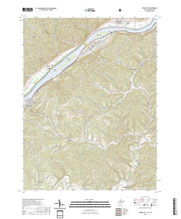 2023 Paden City2023 Print · USGSThe West Virginia and Ohio borderlands along the Ohio River appear in detail on this modern survey. Researchers can trace family history through several burial grounds like Locust Grove Cem and Van Camp Cem or explore the riverfronts of Paden City and Sistersville.
 - 2023 Map of Round Bottom, 2023 Print
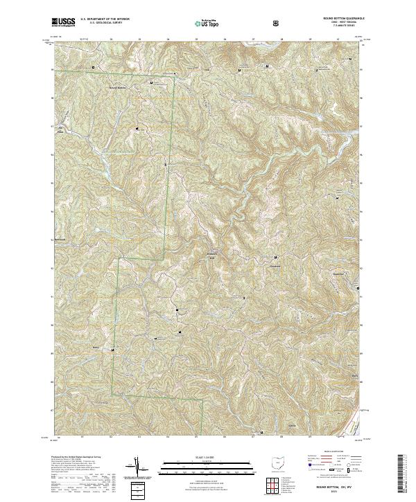 2023 Round Bottom2023 Print · USGSMonroe County, Ohio, remains a landscape of deep ridges and river towns in this modern survey. Genealogists can trace family landmarks like Winklers Mill, Saint Johns Methodist Cem, and McIntire Cem across the high ground above the Ohio River.
End of results
Showing maps 1-24 of 24
Top cities near Jackson Township
- New Martinsville historical maps
- Woodsfield historical maps
- Grandview historical maps
- Sistersville historical maps
- New Matamoras historical maps
- Middlebourne historical maps
See more
Top neighborhoods of Jackson Township
Frequently asked questions
- What are the different types of historical maps available for Jackson Township?
- What is the oldest map of Jackson Township?
- Where can I purchase historical maps of Jackson Township for my home or office?
- Where can I download high-res historical maps of Jackson Township?
- Are there historical topographic maps available for Jackson Township?
- Is there historical aerial imagery available for Jackson Township?
- Where are historical maps of Jackson Township sourced from?