2000s (21st Century) Maps of Union, Ohio
Explore 10 historic maps of Union from the 2000s (21st Century). These maps offer a rare glimpse into what life looked like during the 2000s — showing old roads, neighborhoods, homes, and landmarks that have changed or disappeared over time.
Whether you're researching your family's past, planning a metal detecting trip, or studying how Union's landscape evolved across the 2000s, these high-resolution maps are a powerful tool for exploring the history of this region.
- Focus on a specific era: All maps on this page are from the 2000s, giving you a focused view of this time period.
- See what’s changed: Compare century-old streets, trails, and buildings to today's modern landscape using overlays and satellite layers.
- Research with precision: Use these maps for genealogy, historical research, land use analysis, or educational projects.
- View, download, or print: Maps are fully viewable online in high resolution, and can be downloaded or printed for your own records.
Start exploring Union's history through authentic maps from the 2000s. This is your window into the past.
Union, OH maps
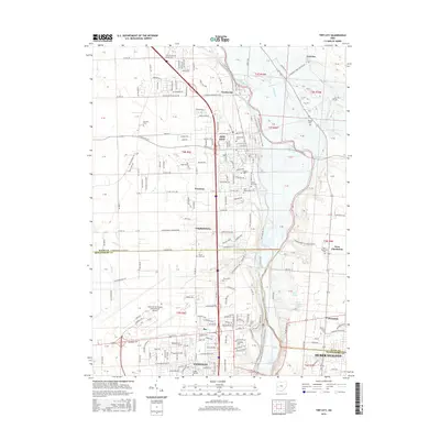
(10)- 2010 Map of Tipp City, 2010 Print
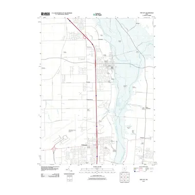 2010 Tipp City2010 Print · USGSCovers Union, including Dayton, Huber Heights, and other nearby areas
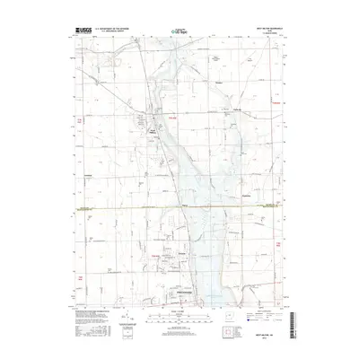
 - 2010 Map of West Milton, 2010 Print
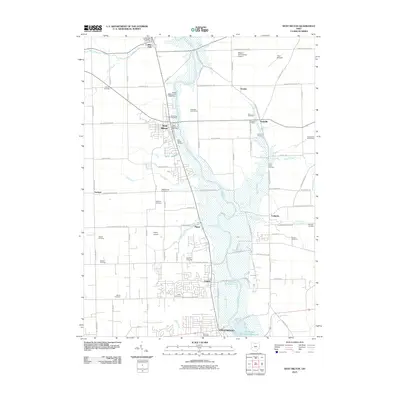 2010 West Milton2010 Print · USGSCovers Union, including Dayton, Vandalia, and other nearby areas
 - 2013 Map of Tipp City, 2013 Print
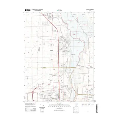 2013 Tipp City2013 Print · USGSCovers Union, including Dayton, Huber Heights, and other nearby areas
 - 2013 Map of West Milton, 2013 Print
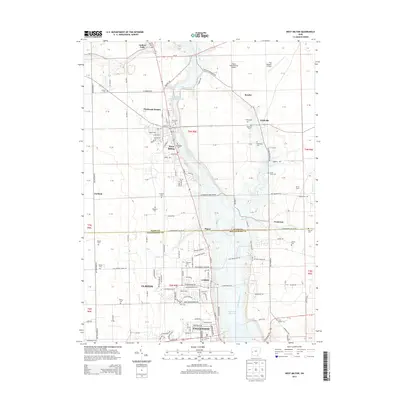 2013 West Milton2013 Print · USGSCovers Union, including Dayton, Vandalia, and other nearby areas
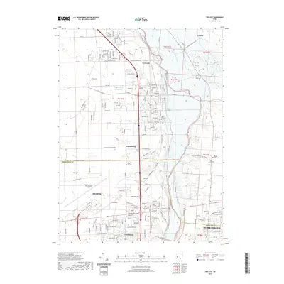
 - 2016 Map of Tipp City, 2016 Print
 2016 Tipp City2016 Print · USGSCovers Union, including Dayton, Huber Heights, and other nearby areas
 - 2016 Map of West Milton, 2016 Print
 2016 West Milton2016 Print · USGSCovers Union, including Dayton, Vandalia, and other nearby areas
 - 2019 Map of West Milton, 2019 Print
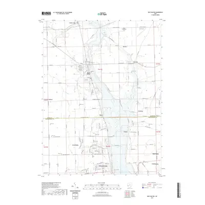 2019 West Milton2019 Print · USGSCovers Union, including Dayton, Vandalia, and other nearby areas
 - 2019 Map of Tipp City, 2019 Print
 2019 Tipp City2019 Print · USGSCovers Union, including Dayton, Huber Heights, and other nearby areas
 - 2023 Map of Tipp City, 2023 Print
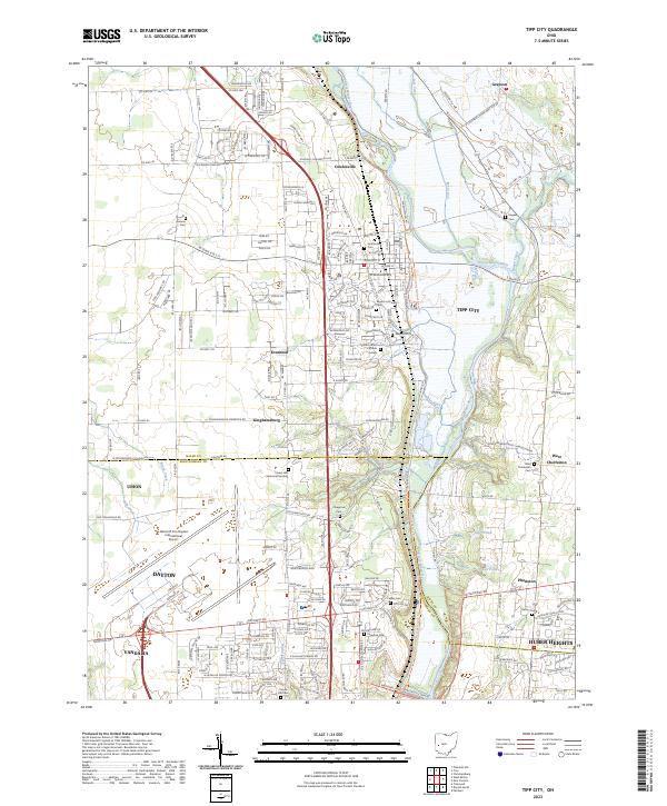 2023 Tipp City2023 Print · USGSThe Miami Valley at the edge of the Montgomery and Miami county line shows a blend of aviation infrastructure and old township centers. Genealogists can trace family lines through numerous burial grounds like Hyattsville Cem and Pinegrove Cem along the Great Miami River.
 - 2023 Map of West Milton, 2023 Print
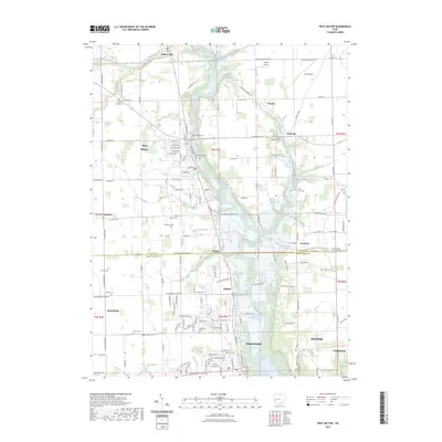 2023 West Milton2023 Print · USGSThe Stillwater River valley in Miami County is seen here in a modern survey of its long-established towns and family farms. Researchers can trace ancestral roots at several local burial sites, including Old Milton Cem, Riverside Cem, and Curtis Union Cem.
End of results
Showing maps 1-10 of 10
Top cities near Union
- Dayton historical maps
- Kettering historical maps
- Beavercreek historical maps
- Huber Heights historical maps
- Fairborn historical maps
- Trotwood historical maps
See more
Top neighborhoods of Union
Frequently asked questions
- What are the different types of historical maps available for Union?
- What is the oldest map of Union?
- Where can I purchase historical maps of Union for my home or office?
- Where can I download high-res historical maps of Union?
- Are there historical topographic maps available for Union?
- Is there historical aerial imagery available for Union?
- Where are historical maps of Union sourced from?