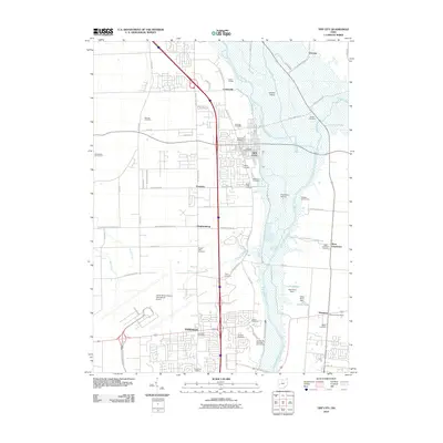
2010 Map of Tipp City
USGS Topo · Published 2010About this map
Tipp City and Vandalia serve as the primary hubs in this Montgomery County corridor, separated by the northern reaches of the James M Cox Dayton International Airport. The geography is defined by the Great Miami River valley, where open spaces like Gerard Prairie and Freemans Prairie provide a natural contrast to the industrial and suburban development concentrated along County Hwy 25A. The map highlights a significant collection of rural and community burial grounds, including the English Cemetery and Maple Hill Cemetery, which offer valuable data for family historians.
Find a feature on this map
68 named features on this map. Tap any name to fly to it.
Don’t see what you’re looking for? This feature index may not catch every label — zoom into the map to look around manually.
Map Details
Editions of this 2010 Tipp City Map
This is the sole edition of this map. No revisions or reprints were ever made.
Other maps of this area

1904 · Dayton
USGS Topo · 1:62,500

1905 · Brookville
USGS Topo · 1:62,500

1906 · Dayton
USGS Topo · 1:62,500

1911 · Covington
USGS Topo · 1:62,500

1914 · Troy
USGS Topo · 1:62,500

1944 · Covington
USGS Topo · 1:62,500

1944 · Troy
USGS Topo · 1:62,500

1953 · Cincinnati
USGS Topo · 1:250,000

1953 · Muncie
USGS Topo · 1:250,000

1955 · West Milton
USGS Topo · 1:24,000