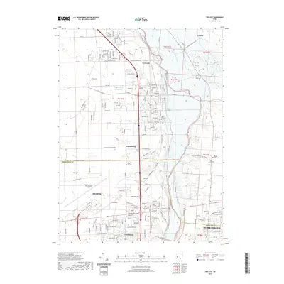
2019 Map of Tipp City
USGS Topo · Published 2019About this map
The Great Miami River corridor serves as the central spine of this 2019 survey, anchoring a landscape that bridges the suburban expansion of northern Dayton with the historic village centers of Miami County. This modern topographic study illustrates the significant infrastructure of the James M Cox Dayton International Airport and the residential growth surrounding Vandalia, Tipp City, and Huber Heights.
Find a feature on this map
195 named features on this map. Tap any name to fly to it.
Don’t see what you’re looking for? This feature index may not catch every label — zoom into the map to look around manually.
Map Details
Editions of this 2019 Tipp City Map
This is the sole edition of this map. No revisions or reprints were ever made.
Other maps of this area

1904 · Dayton
USGS Topo · 1:62,500

1905 · Brookville
USGS Topo · 1:62,500

1906 · Dayton
USGS Topo · 1:62,500

1911 · Covington
USGS Topo · 1:62,500

1914 · Troy
USGS Topo · 1:62,500

1944 · Covington
USGS Topo · 1:62,500

1944 · Troy
USGS Topo · 1:62,500

1953 · Cincinnati
USGS Topo · 1:250,000

1953 · Muncie
USGS Topo · 1:250,000

1955 · West Milton
USGS Topo · 1:24,000