2000s (21st Century) Maps of Lucasville, Ohio
Explore 20 historic maps of Lucasville from the 2000s (21st Century). These maps offer a rare glimpse into what life looked like during the 2000s — showing old roads, neighborhoods, homes, and landmarks that have changed or disappeared over time.
Whether you're researching your family's past, planning a metal detecting trip, or studying how Lucasville's landscape evolved across the 2000s, these high-resolution maps are a powerful tool for exploring the history of this region.
- Focus on a specific era: All maps on this page are from the 2000s, giving you a focused view of this time period.
- See what’s changed: Compare century-old streets, trails, and buildings to today's modern landscape using overlays and satellite layers.
- Research with precision: Use these maps for genealogy, historical research, land use analysis, or educational projects.
- View, download, or print: Maps are fully viewable online in high resolution, and can be downloaded or printed for your own records.
Start exploring Lucasville's history through authentic maps from the 2000s. This is your window into the past.
Lucasville, OH maps
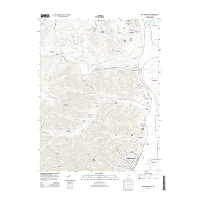
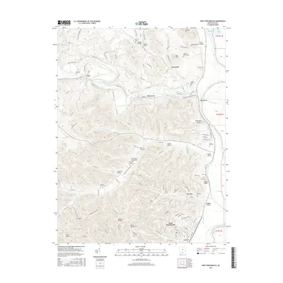
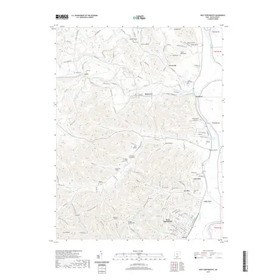
(20)- 2010 Map of West Portsmouth, 2010 Print
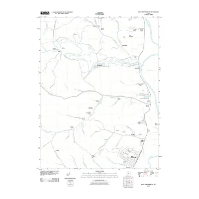 2010 West Portsmouth2010 Print · USGSCovers Lucasville, including Coles Park, McDermott, and other nearby areas
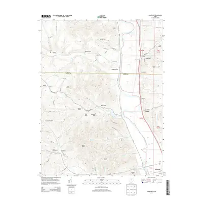
 - 2010 Map of Wakefield, 2010 Print
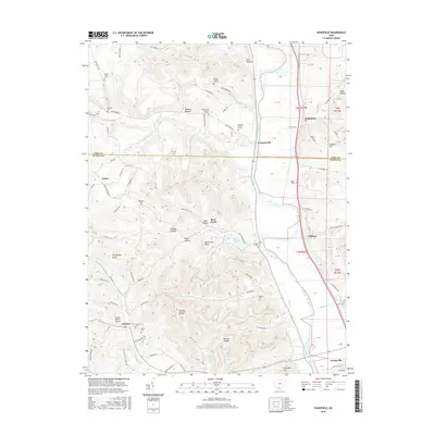
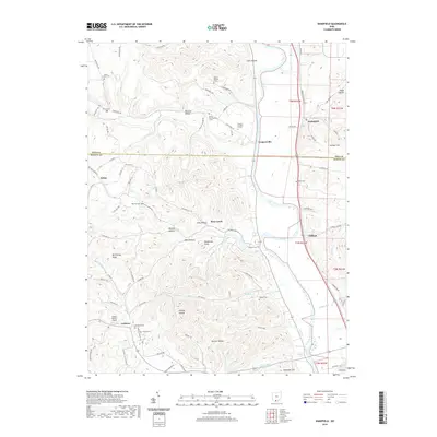
 2010 Wakefield2010 Print · USGSCovers Lucasville, including Camp, Wakefield, and other nearby areas
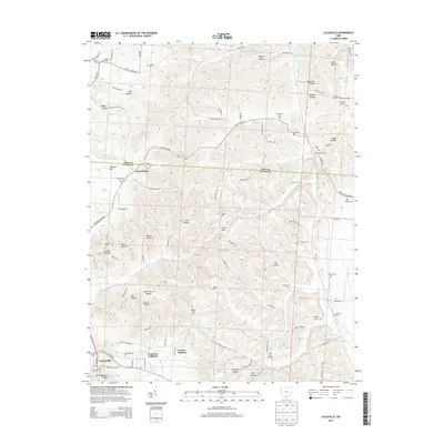
 - 2010 Map of Lucasville, 2010 Print
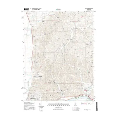
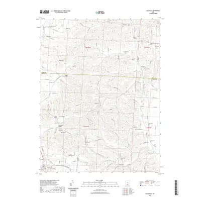
 2010 Lucasville2010 Print · USGSCovers Lucasville, including Scioto County, Pike County, and other nearby areas
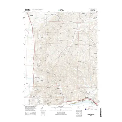
 - 2010 Map of New Boston, 2010 Print
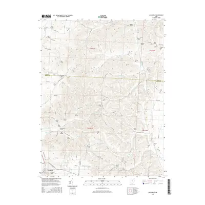
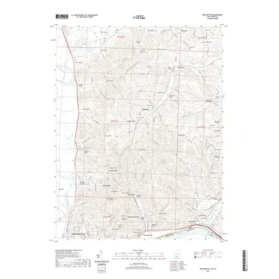
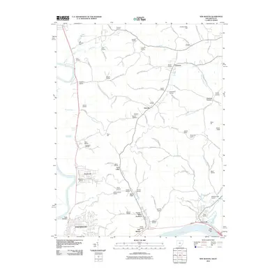 2010 New Boston2010 Print · USGSCovers Lucasville, including Portsmouth, New Boston, and other nearby areas
 - 2013 Map of West Portsmouth, 2013 Print
 2013 West Portsmouth2013 Print · USGSCovers Lucasville, including Coles Park, McDermott, and other nearby areas
 - 2013 Map of Wakefield, 2013 Print
 2013 Wakefield2013 Print · USGSCovers Lucasville, including Camp, Wakefield, and other nearby areas
 - 2013 Map of New Boston, 2013 Print
 2013 New Boston2013 Print · USGSCovers Lucasville, including Portsmouth, New Boston, and other nearby areas
 - 2013 Map of Lucasville, 2013 Print
 2013 Lucasville2013 Print · USGSCovers Lucasville, including Scioto County, Pike County, and other nearby areas
 - 2016 Map of New Boston, 2016 Print
 2016 New Boston2016 Print · USGSCovers Lucasville, including Portsmouth, New Boston, and other nearby areas
 - 2016 Map of West Portsmouth, 2016 Print
 2016 West Portsmouth2016 Print · USGSCovers Lucasville, including Coles Park, McDermott, and other nearby areas
 - 2016 Map of Wakefield, 2016 Print
 2016 Wakefield2016 Print · USGSCovers Lucasville, including Camp, Wakefield, and other nearby areas
 - 2016 Map of Lucasville, 2016 Print
 2016 Lucasville2016 Print · USGSCovers Lucasville, including Scioto County, Pike County, and other nearby areas
 - 2019 Map of West Portsmouth, 2019 Print
 2019 West Portsmouth2019 Print · USGSCovers Lucasville, including Coles Park, McDermott, and other nearby areas
 - 2019 Map of Wakefield, 2019 Print
 2019 Wakefield2019 Print · USGSCovers Lucasville, including Camp, Wakefield, and other nearby areas
 - 2019 Map of New Boston, 2019 Print
 2019 New Boston2019 Print · USGSCovers Lucasville, including Portsmouth, New Boston, and other nearby areas
 - 2019 Map of Lucasville, 2019 Print
 2019 Lucasville2019 Print · USGSCovers Lucasville, including Scioto County, Pike County, and other nearby areas
 - 2023 Map of Wakefield, 2023 Print
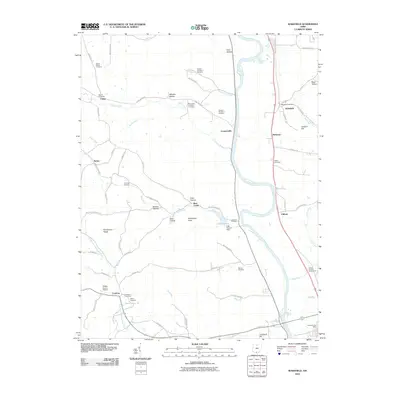
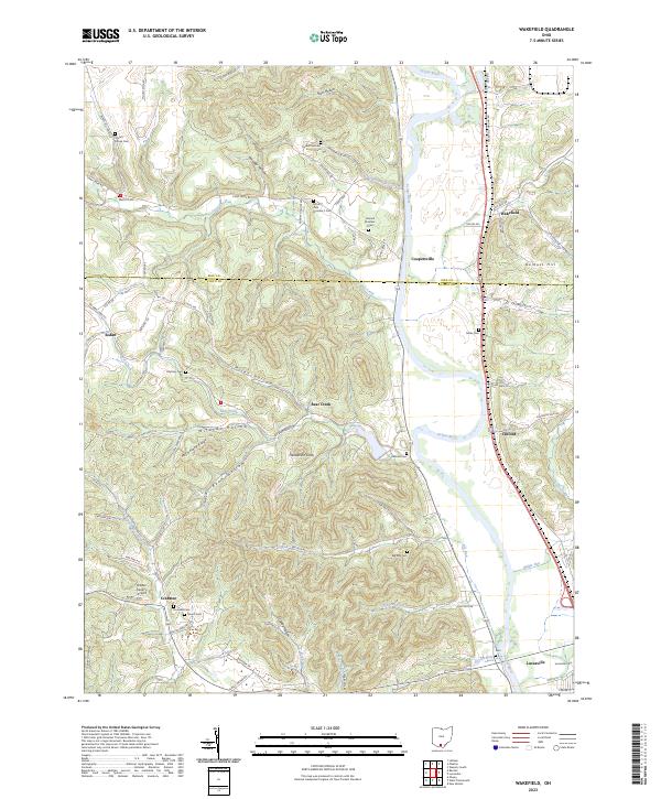 2023 Wakefield2023 Print · USGSSouthern Ohio at the start of the 2020s shows a landscape of deep river valleys and remote ridge-top cemeteries. Genealogists can trace family footprints at Mount Zion Number 3 Cem, Rhymby Cem, and the old settlements of Wakefield and Sedan.
 - 2023 Map of West Portsmouth, 2023 Print
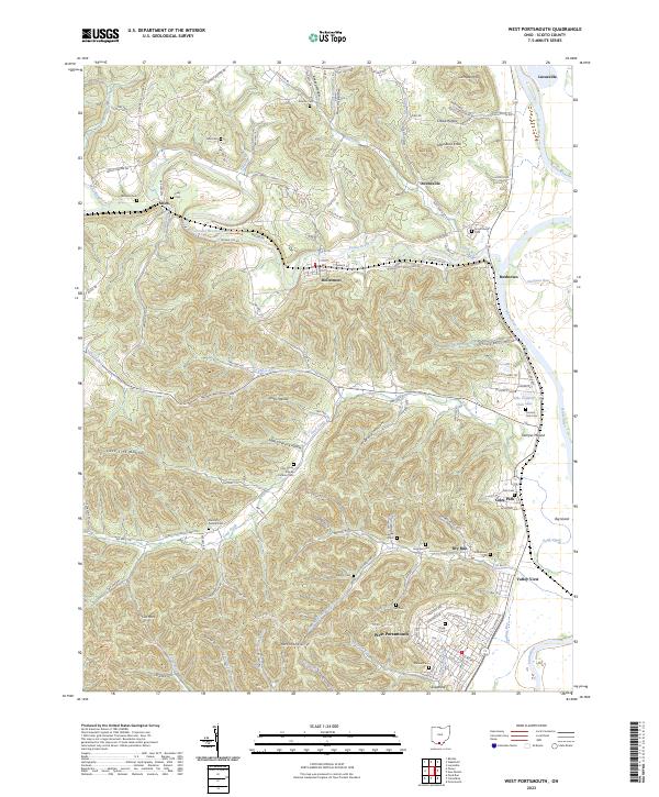 2023 West Portsmouth2023 Print · USGSWest Portsmouth and the Scioto River valley are shown here in recent years, documenting a landscape of deep hollows and river bends. Genealogists can locate numerous burial sites like Mershon-Swords Cem and landmarks such as the ancient Tremper Mound.
 - 2023 Map of Lucasville, 2023 Print
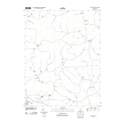
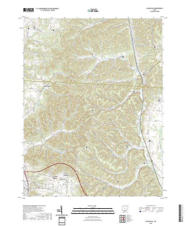 2023 Lucasville2023 Print · USGSLucasville and its surrounding residential additions are shown at the edge of the Scioto River valley as they appeared in the early 2020s. Genealogists can trace family-named hollows and landmarks like Brigner Hollow, Gravel Hill, and Haystack Knob.
 - 2023 Map of New Boston, 2023 Print
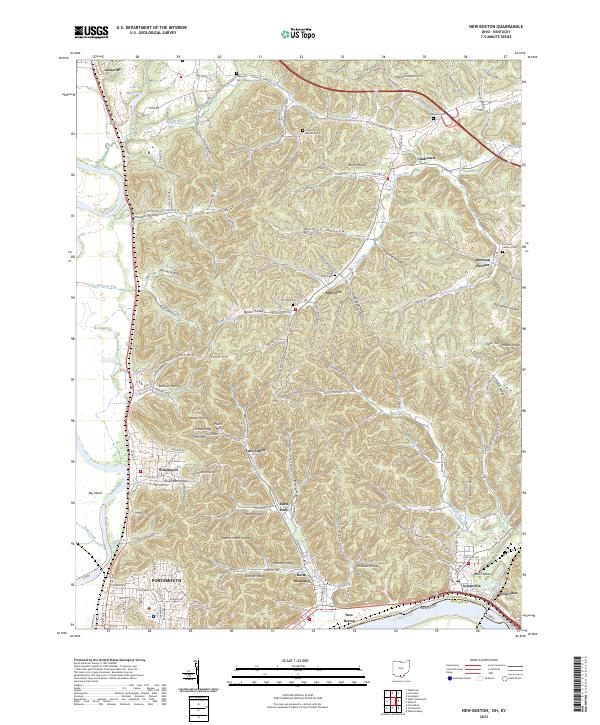 2023 New Boston2023 Print · USGSScioto County communities and the winding Ohio River valley are documented here in the early twenty-first century. Genealogists can locate family burial sites at Harrison Furnace Cem or Stony Hill Cem and trace the residential reaches of New Boston and Sciotodale.
End of results
Showing maps 1-20 of 20
Top cities near Lucasville
- Portsmouth historical maps
- New Boston historical maps
- Piketon historical maps
- Beaver historical maps
- Otway historical maps
Top neighborhoods of Lucasville
Frequently asked questions
- What are the different types of historical maps available for Lucasville?
- What is the oldest map of Lucasville?
- Where can I purchase historical maps of Lucasville for my home or office?
- Where can I download high-res historical maps of Lucasville?
- Are there historical topographic maps available for Lucasville?
- Is there historical aerial imagery available for Lucasville?
- Where are historical maps of Lucasville sourced from?