2010s Maps of Stark County, Ohio
Explore 72 historic maps of Stark County from the 2010s. These maps offer a rare glimpse into what life looked like during the 2010s — showing old roads, neighborhoods, homes, and landmarks that have changed or disappeared over time.
Whether you're researching your family's past, planning a metal detecting trip, or studying how Stark County's landscape evolved across the 2010s, these high-resolution maps are a powerful tool for exploring the history of this region.
- Focus on a specific era: All maps on this page are from the 2010s, giving you a focused view of this time period.
- See what’s changed: Compare century-old streets, trails, and buildings to today's modern landscape using overlays and satellite layers.
- Research with precision: Use these maps for genealogy, historical research, land use analysis, or educational projects.
- View, download, or print: Maps are fully viewable online in high resolution, and can be downloaded or printed for your own records.
Start exploring Stark County's history through authentic maps from the 2010s. This is your window into the past.
Stark County, OH maps
(72)- 2010 Map of Minerva, 2010 Print
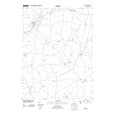 2010 Minerva2010 Print · USGSThe village of Minerva and the surrounding rural valleys are captured in the first decade of the new millennium. Genealogists can trace family names at Chestnut Knob Cemetery or locate old community hubs like the Augusta Post Office and Still Fork Church.
 - 2010 Map of Canton West, 2010 Print
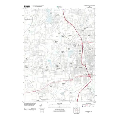 2010 Canton West2010 Print · USGSWestern Stark County at the start of the 2010s reveals a landscape of dense suburban growth and community landmarks. Researchers can trace the development of Meyers Lake, the campus of Kent State University, and numerous family burial sites like Calvary Cemetery.
 - 2010 Map of Dalton, 2010 Print
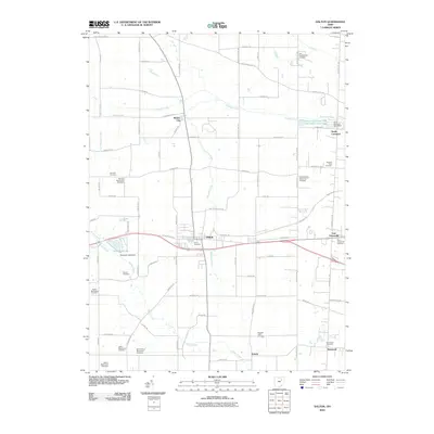 2010 Dalton2010 Print · USGSStark County and the village of Dalton are captured here in the early twenty-first century, showing a landscape defined by Mennonite heritage and rural crossroads. Genealogists can trace family connections at Sonnenberg Mennonite Cemetery, Burton City, and the Old Presbyterian Cemetery.
 - 2010 Map of Limaville, 2010 Print
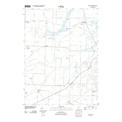 2010 Limaville2010 Print · USGSLimaville and its neighboring townships are captured here during a period of modern stability in rural Ohio. Genealogists and historians can trace family roots through numerous burial grounds like Quaker Hill Cemetery or locate civic centers such as the Limaville Post Office.
 - 2010 Map of Canal Fulton, 2010 Print
 2010 Canal Fulton2010 Print · USGSCanal Fulton and New Franklin are documented here during a period of established lakeside settlement and suburban growth south of Akron. Researchers can trace local lineage at Saint Phillips Cemetery or explore the hydraulic history of the Canal Feeder and Nimisila Reservoir.
 - 2010 Map of Waynesburg, 2010 Print
 2010 Waynesburg2010 Print · USGSSoutheast Stark County settlements are mapped here at the start of the 2010s, centered on the confluence of the Sandy and Nimishillen Creeks. Genealogists can trace family roots through numerous burial sites including Old Pioneer Cemetery, Melsheimer Cemetery, and the Centenary Chapel Cemetery.
 - 2010 Map of Wilmot, 2010 Print
 2010 Wilmot2010 Print · USGSThe agricultural heart of Stark County comes into focus in this modern era, documenting the small villages and rural reaches of the township. Genealogists can trace a remarkable number of local burial grounds, including the Kidron Mennonite Cemetery, Westlawn Cemetery, and Old Wilmot Cemetery.
 - 2010 Map of Canton East, 2010 Print
 2010 Canton East2010 Print · USGSCanton and Louisville are shown during a period of modern expansion in the early twenty-first century. Genealogists can locate family sites at Henry Cemetery or Rowland Cemetery, while tracing local landmarks like Varian Orchards.
 - 2010 Map of Homeworth, 2010 Print
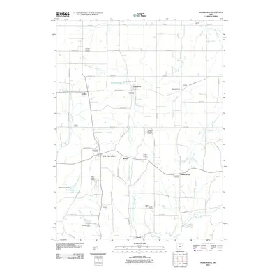 2010 Homeworth2010 Print · USGSThe rural landscapes around Minerva and Homeworth are captured here at the start of the twenty-first century. Researchers can trace local lineage through numerous sites like New Franklin Cemetery, Walker Cemetery, and the Homeworth Post Office.
 - 2010 Map of Malvern, 2010 Print
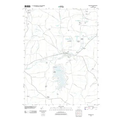 2010 Malvern2010 Print · USGSThe Sandy Creek valley and the extensive waters of Lake Mohawk define this part of Carroll County during the early twenty-first century. Researchers can locate family plots at Hardesty Cemetery or trace the development of Malvern and Oneida.
 - 2010 Map of Doylestown, 2010 Print
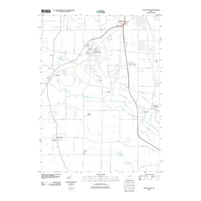 2010 Doylestown2010 Print · USGSDoylestown and the Chippewa Creek valley appear in this detailed 2010 survey of the Ohio countryside. Researchers can trace historic family burial sites at Chestnut Hill Cemetery or locate the old post office in the riverside village of Clinton.
 - 2010 Map of Massillon, 2010 Print
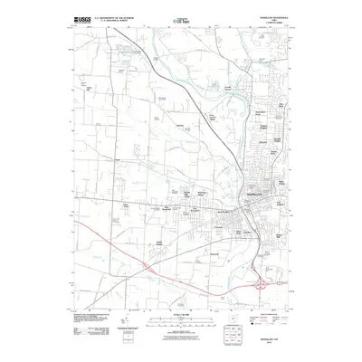 2010 Massillon2010 Print · USGSMassillon and the Tuscarawas River valley are shown here in the early 2000s, reflecting a landscape of established neighborhoods and deep-rooted community history. Researchers can trace genealogical sites like the Old Quaker Cemetery or locate landmarks such as Charity Rotch and the Ohio-Erie Trl.
 - 2010 Map of Hartville, 2010 Print
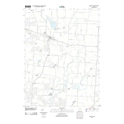 2010 Hartville2010 Print · USGSStark County's agricultural and small-town character is clearly mapped in this 2010 survey of the area surrounding Hartville. Researchers can trace family history through numerous burial sites like Beechy Cemetery or locate regional airfields such as Hammond Airport.
 - 2010 Map of Alliance, 2010 Print
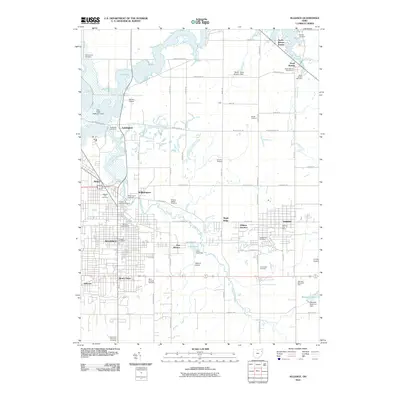 2010 Alliance2010 Print · USGSThe Mahoning River valley comes into focus during this period of growth between the city and the surrounding farm country. Genealogists can trace family names through numerous burial sites like Dutch Church Cemetery, Quaker Hill Cemetery, and the Williamsport Cemetery.
 - 2010 Map of North Canton, 2010 Print
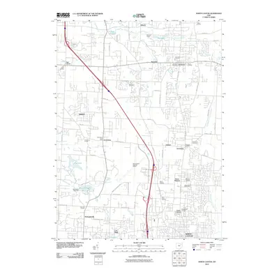 2010 North Canton2010 Print · USGSSouthern Summit County and northern Stark County appear here during a period of steady growth and modern aviation expansion. Genealogists and local historians can trace family locations near Uniontown, Greensburg, and the Saint Paul Cemetery near McDonaldsville.
 - 2010 Map of Bolivar, 2010 Print
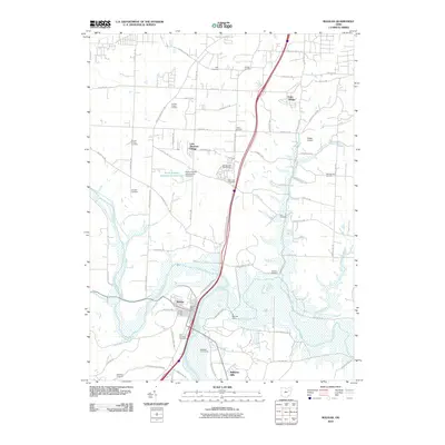 2010 Bolivar2010 Print · USGSThe village of Bolivar sits at the historic meeting of the Tuscarawas River and Sandy Creek during the early twenty-first century. Genealogists can trace family lines through over a dozen burial sites, including Henline Cemetery, Zion Cemetery, and Shepler Cemetery.
 - 2010 Map of Robertsville, 2010 Print
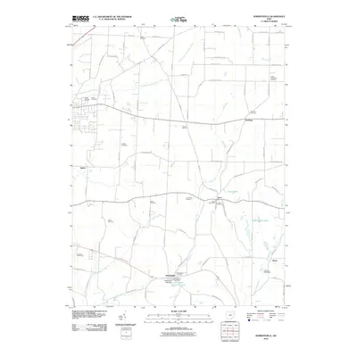 2010 Robertsville2010 Print · USGSStark County rural life in the early 21st century is captured here through the settlements of Robertsville and Paris. Researchers can trace local lineage across nearly a dozen sites including Beech Cemetery, Freeburg Cemetery, and the Amish Cemetery.
 - 2010 Map of Navarre, 2010 Print
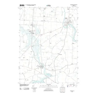 2010 Navarre2010 Print · USGSStark County's river valleys and mining history are clearly defined in this early twenty-first-century survey. Genealogists and local historians can locate generational landmarks such as Tiger Mine, German Cemetery, and the historic village centers of Navarre and Beach City.
 - 2013 Map of Minerva, 2013 Print
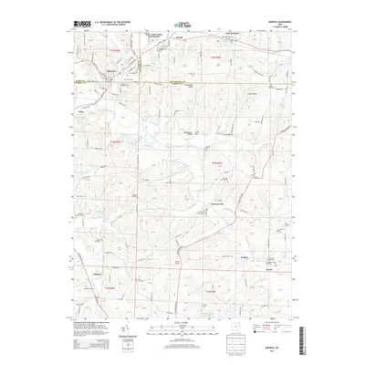 2013 Minerva2013 Print · USGSThe intersection of Stark, Carroll, and Columbiana counties comes alive in this survey from the early 2010s. Researchers can trace rural lineages through numerous burial grounds like Augusta Cem and locate landmarks such as the Township High Sch and Minerva Cem.
 - 2013 Map of Malvern, 2013 Print
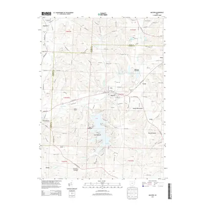 2013 Malvern2013 Print · USGSThe Malvern region of Carroll and Stark Counties is shown here in the early twenty-first century, centered on its river valleys and aviation sites. Researchers can trace local heritage at Saint Xavier Cem and Bethlehem Cem or explore the residential growth around Lake Mohawk.
 - 2013 Map of Limaville, 2013 Print
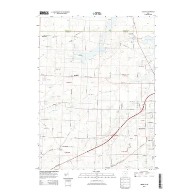 2013 Limaville2013 Print · USGSAlliance and the Stark-Portage county line area are shown in this era of rural townships and expanding reservoirs. Genealogists can trace family names at Quaker Hill Cem and Marlboro Cem, while others may locate Stub's Field Airport or Cuttys Camp.
 - 2013 Map of Massillon, 2013 Print
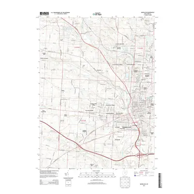 2013 Massillon2013 Print · USGSMassillon and its surrounding Stark County townships are shown here during a period of modern growth along the Tuscarawas River. Genealogists and local historians can locate numerous burial grounds including Old Kendal Cem, Saint Josephs Cem, and Massillon Cem.
 - 2013 Map of Hartville, 2013 Print
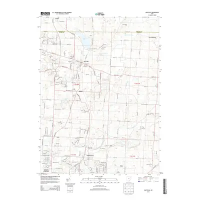 2013 Hartville2013 Print · USGSStark County in the early twenty-first century reveals a landscape of village centers and well-preserved country cemeteries. Genealogists and local historians can trace family ties through Union Cem, explore the shores of Congress Lake, or locate the crossroads of Cairo and Middlebranch.
 - 2013 Map of Canton East, 2013 Print
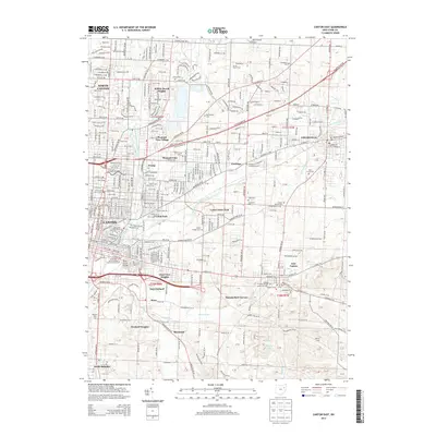 2013 Canton East2013 Print · USGSStark County’s industrial and residential landscape is documented here in the early twenty-first century as Canton expands eastward. Researchers can trace family sites and local landmarks from Walsh Univ and Hitz Airport to numerous historic burial grounds like Saint Louis Cem.
 - 2013 Map of North Canton, 2013 Print
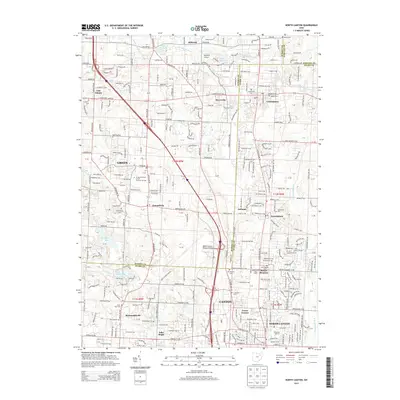 2013 North Canton2013 Print · USGSThe borderlands of Summit and Stark counties in the early 2010s show a mix of aviation hubs and suburban growth. Genealogists can trace family sites at Saint Paul Cem and Mt Pleasant Cem or locate the historic Tritts Millpond.
Showing maps 1-25 of 72
Top cities of Stark County
- Canton historical maps
- Plain historical maps
- Massillon historical maps
- Alliance historical maps
- North Canton historical maps
- Louisville historical maps
See more
Frequently asked questions
- What are the different types of historical maps available for Stark County?
- What is the oldest map of Stark County?
- Where can I purchase historical maps of Stark County for my home or office?
- Where can I download high-res historical maps of Stark County?
- Are there historical topographic maps available for Stark County?
- Is there historical aerial imagery available for Stark County?
- Where are historical maps of Stark County sourced from?