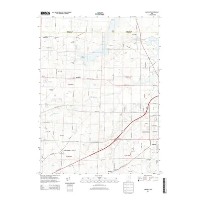
2013 Map of Limaville
USGS Topo · Published 2013About this map
Alliance and the surrounding townships of Stark and Portage counties are documented here in the early 21st century. The landscape is a network of rural settlements like Limaville, Marlboro, and Harrisburg, separated by extensive reservoir systems and creek branches. Water management is a defining feature of the area, with the Deer Creek Reservoir and Dale Walborn Reservoir dominating the northeastern terrain. These reservoirs, alongside smaller bodies such as France Lake and Woods Lake, illustrate the regional focus on water storage and recreation.
Find a feature on this map
110 named features on this map. Tap any name to fly to it.
Don’t see what you’re looking for? This feature index may not catch every label — zoom into the map to look around manually.
Map Details
Editions of this 2013 Limaville Map
This is the sole edition of this map. No revisions or reprints were ever made.
Other maps of this area

1901 · Canton
USGS Topo · 1:62,500

1903 · Canton
USGS Topo · 1:62,500

1906 · Kent
USGS Topo · 1:62,500

1906 · Ravenna
USGS Topo · 1:62,500

1908 · Ravenna
USGS Topo · 1:62,500

1909 · Alliance
USGS Topo · 1:62,500

1950 · Cleveland
USGS Topo · 1:250,000

1951 · Canton
USGS Topo · 1:250,000

1952 · Alliance
USGS Topo · 1:24,000

1953 · Canton
USGS Topo · 1:250,000