2010s Maps of Richfield Township, Ohio
Explore 16 historic maps of Richfield Township from the 2010s. These maps offer a rare glimpse into what life looked like during the 2010s — showing old roads, neighborhoods, homes, and landmarks that have changed or disappeared over time.
Whether you're researching your family's past, planning a metal detecting trip, or studying how Richfield Township's landscape evolved across the 2010s, these high-resolution maps are a powerful tool for exploring the history of this region.
- Focus on a specific era: All maps on this page are from the 2010s, giving you a focused view of this time period.
- See what’s changed: Compare century-old streets, trails, and buildings to today's modern landscape using overlays and satellite layers.
- Research with precision: Use these maps for genealogy, historical research, land use analysis, or educational projects.
- View, download, or print: Maps are fully viewable online in high resolution, and can be downloaded or printed for your own records.
Start exploring Richfield Township's history through authentic maps from the 2010s. This is your window into the past.
Richfield Township, OH maps
(16)- 2010 Map of Broadview Heights, 2010 Print
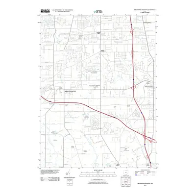 2010 Broadview Heights2010 Print · USGSCuyahoga County’s southern suburbs are shown in high detail during the early 2000s expansion. Researchers can trace local genealogy at Saints Peter and Paul Cemetery or locate landmarks like Royalton Farms and Walling Corners.
 - 2010 Map of West Richfield, 2010 Print
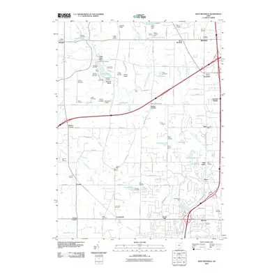 2010 West Richfield2010 Print · USGSThe borderlands of Medina and Summit Counties are captured here in 2010, showing the expansion of settlements from Ghent to Hinckley. Researchers can locate historic family burial grounds like Wheatley Cemetery and trace landmarks such as Worden Heritage Homestead and Buzzard Roost.
 - 2010 Map of Peninsula, 2010 Print
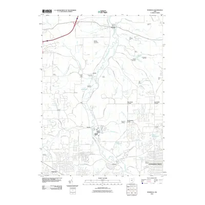 2010 Peninsula2010 Print · USGSThe Cuyahoga River valley in the early twenty-first century remains a corridor of deep history and community roots. Genealogists and researchers can trace family lines through several burial grounds like East Bath Cemetery or locate historic transit points like the Furnace Run Aqueduct.
 - 2010 Map of Northfield, 2010 Print
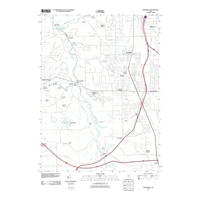 2010 Northfield2010 Print · USGSCuyahoga County’s river valley and growing suburban centers meet here at the start of the 21st century. Researchers can trace local heritage through numerous burial grounds like Dewey Cemetery and landmarks such as the Tinkers Creek Aqueduct and Brandywine Falls.
 - 2013 Map of West Richfield, 2013 Print
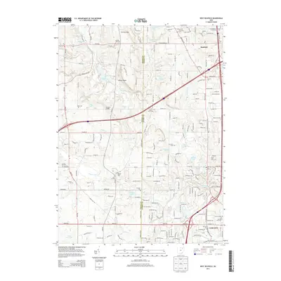 2013 West Richfield2013 Print · USGSThe Medina and Summit county line divides this landscape of glacial lakes and ledge formations in the early 2010s. Researchers can locate many local landmarks, including the Morris Chapel Cem, Whipps Ledges, and the Hamrick Sch.
 - 2013 Map of Broadview Heights, 2013 Print
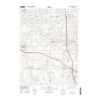 2013 Broadview Heights2013 Print · USGSThis Cuyahoga County landscape near the turn of the twenty-first century shows a unique mix of suburban expansion and protected natural valley terrain. Researchers can locate several historic burial grounds like Center Cem and Barr Road Cem alongside the Cuyahoga Valley National Park.
 - 2013 Map of Peninsula, 2013 Print
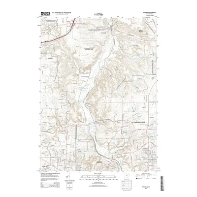 2013 Peninsula2013 Print · USGSThe Cuyahoga Valley in the early 2010s shows a unique landscape where parklands meet the urban edges of Akron and Cuyahoga Falls. Trace local history through the Everett Road Bridge, Furnace Run Aqueduct, and numerous burial sites like Ira Cem.
 - 2013 Map of Northfield, 2013 Print
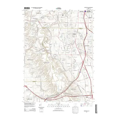 2013 Northfield2013 Print · USGSCuyahoga Valley and its surrounding townships appear here in the early twenty-first century as a blend of protected parkland and residential growth. Genealogists can locate several historic burial grounds, including All Saints Cem and Dewey Cem, while hikers can trace paths to Blue Hen Falls.
 - 2016 Map of Broadview Heights, 2016 Print
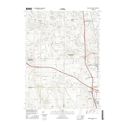 2016 Broadview Heights2016 Print · USGSThe southern Cleveland suburbs and the northern reaches of the Cuyahoga Valley are captured here in the mid-2010s. Researchers can locate family heritage sites like Saints Peter and Paul Cem or trace the Towpath Trl along the valley floor.
 - 2016 Map of West Richfield, 2016 Print
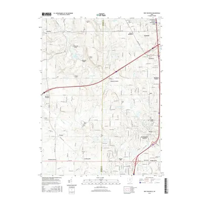 2016 West Richfield2016 Print · USGSSummit and Medina counties in the 2010s show a blend of suburban growth and protected natural areas near the Cuyahoga Valley. Genealogists can locate many local burial sites including Beach Cem, Ganyard Cem, and Rose Hill Burial Park.
 - 2016 Map of Northfield, 2016 Print
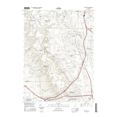 2016 Northfield2016 Print · USGSThe Cuyahoga River valley south of Cleveland is shown here in the mid-2010s as a preserved corridor of natural falls and historic infrastructure. Researchers can locate Northfield- Macedonia Cem or trace landmarks like Brandywine Falls and the Tinkers Creek Aqueduct.
 - 2016 Map of Peninsula, 2016 Print
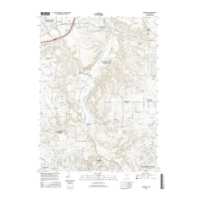 2016 Peninsula2016 Print · USGSThe Cuyahoga River valley south of Cleveland remains a landscape of deep ravines and historic transit corridors as seen in this 2010s survey. Researchers can locate legacy infrastructure like the Everett Road Bridge or trace family history at Cedar Grove Cem and Ira Cem.
 - 2019 Map of West Richfield, 2019 Print
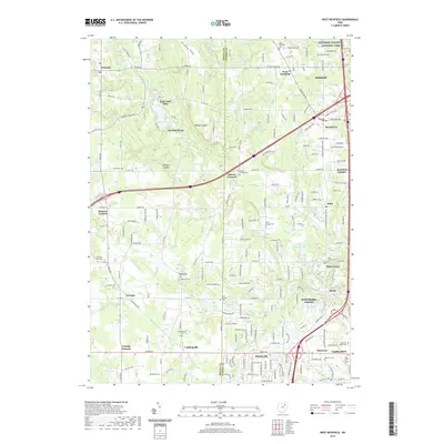 2019 West Richfield2019 Print · USGSIn the hills between Akron and Cleveland, this modern survey highlights a landscape of sandstone ledges and protected parklands. Researchers can trace historic cemeteries like Ganyard Cem and Morris Chapel Cem near landmarks such as Whipps Ledges.
 - 2019 Map of Northfield, 2019 Print
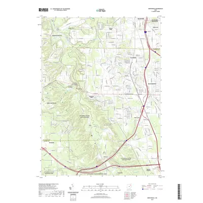 2019 Northfield2019 Print · USGSThe Cuyahoga River valley and its surrounding townships are captured here during a period of modern suburban growth and federal conservation. Researchers can trace historic family burial sites like Dewey Cem and landmark structures such as the Station Road Bridge and Tinkers Creek Aqueduct.
 - 2019 Map of Peninsula, 2019 Print
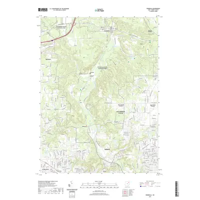 2019 Peninsula2019 Print · USGSThe Cuyahoga River valley south of Peninsula is shown here during its twenty-first-century preservation as a national park. Genealogists can trace family roots at Cedar Grove Cem and Ira Cem, or locate landmarks like the Everett Road Bridge.
 - 2019 Map of Broadview Heights, 2019 Print
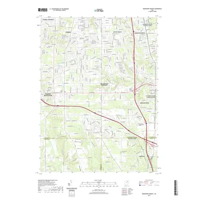 2019 Broadview Heights2019 Print · USGSSouthern Cuyahoga County appears in its modern suburban form, where busy corridors like Royalton Rd meet the quiet margins of the national park. Researchers can trace local heritage through sites like North Royalton Cem and the Towpath Trl.
End of results
Showing maps 1-16 of 16
Top cities near Richfield Township
- Cleveland historical maps
- Akron historical maps
- Parma historical maps
- Cuyahoga Falls historical maps
- Lakewood historical maps
- Strongsville historical maps
See more
Frequently asked questions
- What are the different types of historical maps available for Richfield Township?
- What is the oldest map of Richfield Township?
- Where can I purchase historical maps of Richfield Township for my home or office?
- Where can I download high-res historical maps of Richfield Township?
- Are there historical topographic maps available for Richfield Township?
- Is there historical aerial imagery available for Richfield Township?
- Where are historical maps of Richfield Township sourced from?