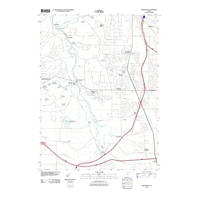
2010 Map of Northfield
USGS Topo · Published 2010About this map
The Cuyahoga River corridor defines the western edge of this 2010 study, where the historic Tinkers Creek Aqueduct and the Chippewa Station Road Bridge mark the intersection of valley geography and transit history. This area near Brecksville and Sagamore Hills exhibits a dense concentration of recreation and memorial sites, from the Harriet Keeler Memorial Picnic Area to several burial grounds like Northfield-Macedonia Cemetery and Boston Mills Cemetery.
Find a feature on this map
92 named features on this map. Tap any name to fly to it.
Don’t see what you’re looking for? This feature index may not catch every label — zoom into the map to look around manually.
Map Details
Editions of this 2010 Northfield Map
This is the sole edition of this map. No revisions or reprints were ever made.
Other maps of this area

1903 · Cleveland
USGS Topo · 1:62,500

1903 · Akron
USGS Topo · 1:62,500

1905 · Akron
USGS Topo · 1:62,500

1906 · Kent
USGS Topo · 1:62,500

1906 · Chagrin Falls
USGS Topo · 1:62,500

1908 · Chagrin Falls
USGS Topo · 1:62,500

1950 · Cleveland
USGS Topo · 1:250,000

1953 · Chagrin Falls
USGS Topo · 1:24,000

1953 · Shaker Heights
USGS Topo · 1:24,000

1953 · Broadview Heights
USGS Topo · 1:24,000