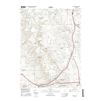
2016 Map of Northfield
USGS Topo · Published 2016About this map
Cuyahoga Valley National Park dominates this survey, preserving a dense network of water features and engineering landmarks along the Cuyahoga River. The map highlights the area's intricate drainage system, including Brandywine Falls, Bridal Veil Falls, and Buttermilk Falls, alongside notable infrastructure like the Tinkers Creek Aqueduct and the Brecksville-Northfield High Level Bridge. Settlements such as Sagamore Hills, Walton Hills, and Northfield are shown in their modern suburban context, yet the landscape remains anchored by its natural and early industrial heritage.
Find a feature on this map
228 named features on this map. Tap any name to fly to it.
Don’t see what you’re looking for? This feature index may not catch every label — zoom into the map to look around manually.
Map Details
Editions of this 2016 Northfield Map
This is the sole edition of this map. No revisions or reprints were ever made.
Other maps of this area

1903 · Cleveland
USGS Topo · 1:62,500

1903 · Akron
USGS Topo · 1:62,500

1905 · Akron
USGS Topo · 1:62,500

1906 · Kent
USGS Topo · 1:62,500

1906 · Chagrin Falls
USGS Topo · 1:62,500

1908 · Chagrin Falls
USGS Topo · 1:62,500

1950 · Cleveland
USGS Topo · 1:250,000

1953 · Chagrin Falls
USGS Topo · 1:24,000

1953 · Shaker Heights
USGS Topo · 1:24,000

1953 · Broadview Heights
USGS Topo · 1:24,000