2000s (21st Century) Maps of York Township, Ohio
Explore 25 historic maps of York Township from the 2000s (21st Century). These maps offer a rare glimpse into what life looked like during the 2000s — showing old roads, neighborhoods, homes, and landmarks that have changed or disappeared over time.
Whether you're researching your family's past, planning a metal detecting trip, or studying how York Township's landscape evolved across the 2000s, these high-resolution maps are a powerful tool for exploring the history of this region.
- Focus on a specific era: All maps on this page are from the 2000s, giving you a focused view of this time period.
- See what’s changed: Compare century-old streets, trails, and buildings to today's modern landscape using overlays and satellite layers.
- Research with precision: Use these maps for genealogy, historical research, land use analysis, or educational projects.
- View, download, or print: Maps are fully viewable online in high resolution, and can be downloaded or printed for your own records.
Start exploring York Township's history through authentic maps from the 2000s. This is your window into the past.
York Township, OH maps
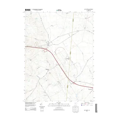
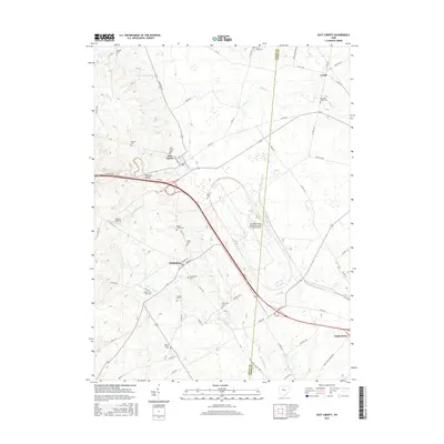
(25)- 2010 Map of East Liberty, 2010 Print
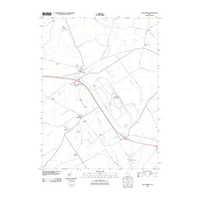 2010 East Liberty2010 Print · USGSCovers York Township, including Monroe Township, Perry Township, and other nearby areas
 - 2010 Map of Peoria, 2010 Print
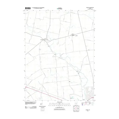 2010 Peoria2010 Print · USGSCovers York Township, including Marysville, Broadway, and other nearby areas
 - 2010 Map of Richwood, 2010 Print
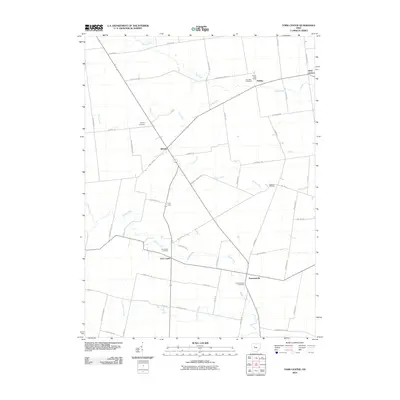
 2010 Richwood2010 Print · USGSCovers York Township, including Richwood, Leesburg Township, and other nearby areas
 - 2010 Map of York Center, 2010 Print
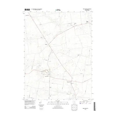
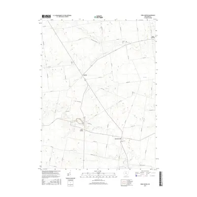
 2010 York Center2010 Print · USGSCovers York Township, including Washington Township, West Jackson, and other nearby areas
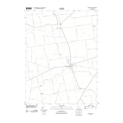
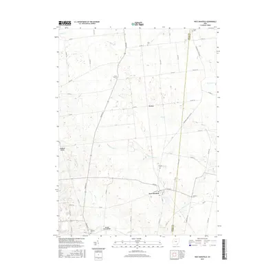
 - 2010 Map of West Mansfield, 2010 Print
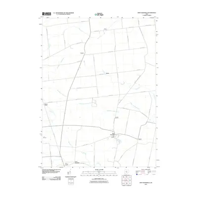 2010 West Mansfield2010 Print · USGSCovers York Township, including West Mansfield, Rushcreek Township, and other nearby areas
 - 2013 Map of West Mansfield, 2013 Print
 2013 West Mansfield2013 Print · USGSCovers York Township, including West Mansfield, Rushcreek Township, and other nearby areas
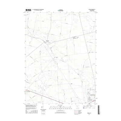
 - 2013 Map of Peoria, 2013 Print
 2013 Peoria2013 Print · USGSCovers York Township, including Marysville, Broadway, and other nearby areas
 - 2013 Map of Richwood, 2013 Print
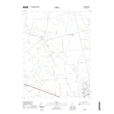
 2013 Richwood2013 Print · USGSCovers York Township, including Richwood, Leesburg Township, and other nearby areas
 - 2013 Map of York Center, 2013 Print
 2013 York Center2013 Print · USGSCovers York Township, including Washington Township, West Jackson, and other nearby areas
 - 2013 Map of East Liberty, 2013 Print
 2013 East Liberty2013 Print · USGSCovers York Township, including Monroe Township, Perry Township, and other nearby areas
 - 2016 Map of East Liberty, 2016 Print
 2016 East Liberty2016 Print · USGSCovers York Township, including Monroe Township, Perry Township, and other nearby areas
 - 2016 Map of York Center, 2016 Print
 2016 York Center2016 Print · USGSCovers York Township, including Washington Township, West Jackson, and other nearby areas
 - 2016 Map of West Mansfield, 2016 Print
 2016 West Mansfield2016 Print · USGSCovers York Township, including West Mansfield, Rushcreek Township, and other nearby areas
 - 2016 Map of Peoria, 2016 Print
 2016 Peoria2016 Print · USGSCovers York Township, including Marysville, Broadway, and other nearby areas
 - 2016 Map of Richwood, 2016 Print
 2016 Richwood2016 Print · USGSCovers York Township, including Richwood, Leesburg Township, and other nearby areas
 - 2019 Map of Peoria, 2019 Print
 2019 Peoria2019 Print · USGSCovers York Township, including Marysville, Broadway, and other nearby areas
 - 2019 Map of West Mansfield, 2019 Print
 2019 West Mansfield2019 Print · USGSCovers York Township, including West Mansfield, Rushcreek Township, and other nearby areas
 - 2019 Map of Richwood, 2019 Print
 2019 Richwood2019 Print · USGSCovers York Township, including Richwood, Leesburg Township, and other nearby areas
 - 2019 Map of York Center, 2019 Print
 2019 York Center2019 Print · USGSCovers York Township, including Washington Township, West Jackson, and other nearby areas
 - 2019 Map of East Liberty, 2019 Print
 2019 East Liberty2019 Print · USGSCovers York Township, including Monroe Township, Perry Township, and other nearby areas
 - 2023 Map of East Liberty, 2023 Print
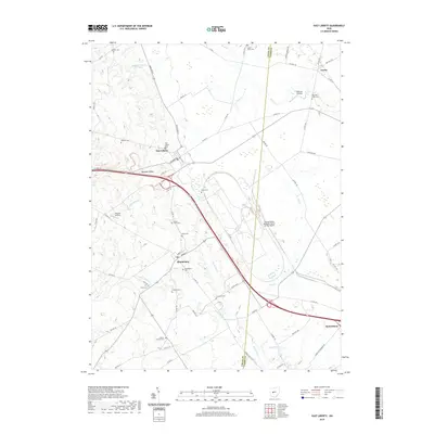
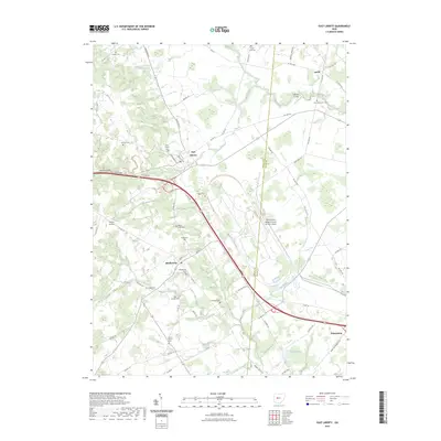 2023 East Liberty2023 Print · USGSThe Logan and Union County borderlands appear here in the early twenty-first century, centered on the village of East Liberty. Researchers can trace local lineage through numerous burial grounds like Quaker Cem and New Mill Creek Cem or locate the sprawling Transportation Research Center.
 - 2023 Map of Richwood, 2023 Print
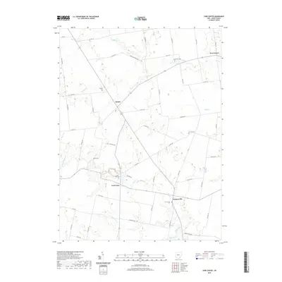
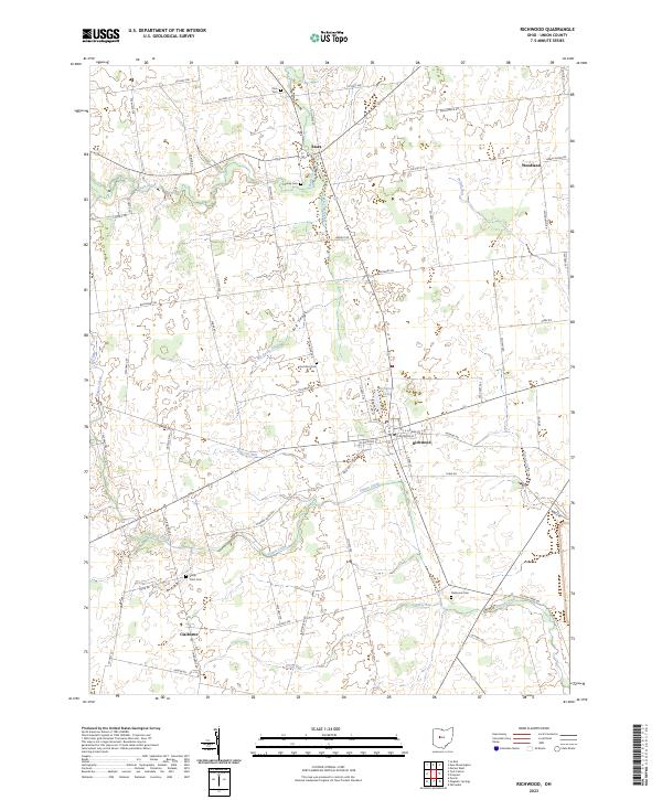 2023 Richwood2023 Print · USGSRichwood and its surrounding Union County townships appear here in recent years, showing a landscape of fertile farmland and quiet rural communities. Genealogists can locate family sites at Hamilton Cem, Price Cem, or the small settlement of Essex.
 - 2023 Map of York Center, 2023 Print
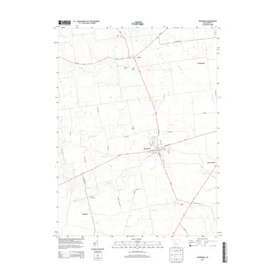
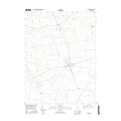
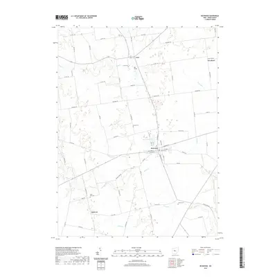
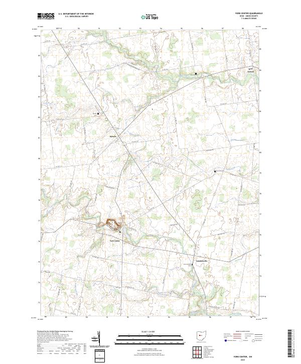 2023 York Center2023 Print · USGSThe rural crossroads of Union County are captured here in the early twenty-first century. Genealogists and local historians can trace the foundations of Byhalia, York Center, and Summersville, along with numerous local burial grounds like Burnside Cem.
 - 2023 Map of West Mansfield, 2023 Print
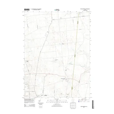
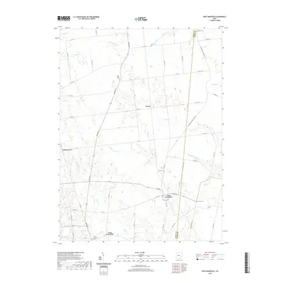
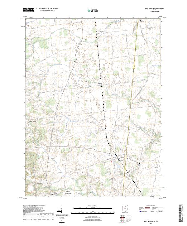 2023 West Mansfield2023 Print · USGSCentral Ohio's agricultural landscape is detailed here along the border of Logan and Union counties. Researchers can trace family sites and old boundaries through Quaker Cem, North Greenfield, and the rural crossroads of Horton.
 - 2023 Map of Peoria, 2023 Print
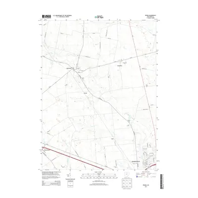
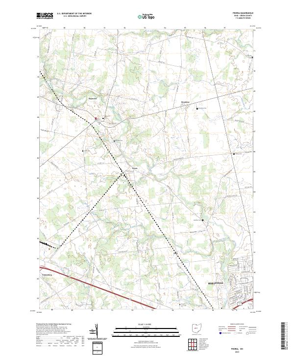 2023 Peoria2023 Print · USGSNorthwest Union County in the 2020s shows the meeting point of rural tradition and modern growth. Genealogists can trace family footprints across Raymond Cem and Asbury Cem or explore the hamlets of Peoria and Broadway.
End of results
Showing maps 1-25 of 25
Top cities near York Township
- Marysville historical maps
- Kenton historical maps
- Richwood historical maps
- North Lewisburg historical maps
- La Rue historical maps
- Milford Center historical maps
See more
Top neighborhoods of York Township
Frequently asked questions
- What are the different types of historical maps available for York Township?
- What is the oldest map of York Township?
- Where can I purchase historical maps of York Township for my home or office?
- Where can I download high-res historical maps of York Township?
- Are there historical topographic maps available for York Township?
- Is there historical aerial imagery available for York Township?
- Where are historical maps of York Township sourced from?