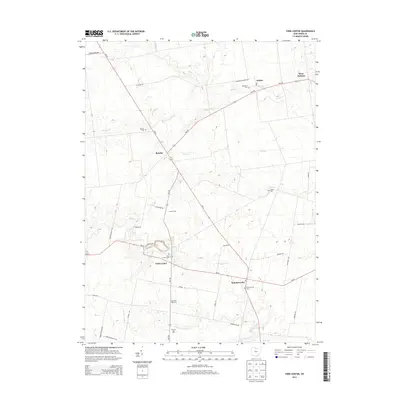
2013 Map of York Center
USGS Topo · Published 2013About this map
York Center and the surrounding township of Union County are defined by a grid of rural roads and the meandering courses of several significant waterways. These creeks, including Bokes Cr and Fulton Cr, cut through the farmland, dictating the placement of small clusters like Arbela and Summersville. The landscape is dotted with ancestral sites of interest to genealogists, specifically several well-maintained grounds such as York Center Cem and Byhalia Cem.
Find a feature on this map
38 named features on this map. Tap any name to fly to it.
Don’t see what you’re looking for? This feature index may not catch every label — zoom into the map to look around manually.
Map Details
Editions of this 2013 York Center Map
This is the sole edition of this map. No revisions or reprints were ever made.
Other maps of this area

1913 · East Liberty
USGS Topo · 1:62,500

1913 · Richwood
USGS Topo · 1:62,500

1915 · Richwood
USGS Topo · 1:62,500

1915 · East Liberty
USGS Topo · 1:62,500

1915 · Kenton
USGS Topo · 1:62,500

1915 · La Rue
USGS Topo · 1:62,500

1944 · East Liberty
USGS Topo · 1:62,500

1944 · Kenton
USGS Topo · 1:62,500

1944 · Richwood
USGS Topo · 1:62,500

1950 · Marion
USGS Topo · 1:250,000