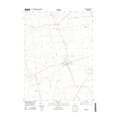
2013 Map of Richwood
USGS Topo · Published 2013About this map
Richwood serves as the central hub of this northern Union County landscape, situated at the junction of several state routes and the local street grid. The village layout is defined by thoroughfares such as E Ottawa St and S Franklin St, with Richwood Lake providing a prominent water feature on the northeast side. To the south, the settlement of Claiborne sits near the winding course of Fulton Cr, while Essex and Woodland anchor the northern reaches of the quadrangle.
Find a feature on this map
51 named features on this map. Tap any name to fly to it.
Don’t see what you’re looking for? This feature index may not catch every label — zoom into the map to look around manually.
Map Details
Editions of this 2013 Richwood Map
This is the sole edition of this map. No revisions or reprints were ever made.
Other maps of this area

1903 · Marion
USGS Topo · 1:62,500

1905 · Marion
USGS Topo · 1:62,500

1913 · Richwood
USGS Topo · 1:62,500

1915 · Richwood
USGS Topo · 1:62,500

1915 · La Rue
USGS Topo · 1:62,500

1924 · Delaware
USGS Topo · 1:62,500

1925 · Delaware
USGS Topo · 1:62,500

1944 · Richwood
USGS Topo · 1:62,500

1944 · Delaware
USGS Topo · 1:62,500

1950 · Marion
USGS Topo · 1:250,000