2000s (21st Century) Maps of Perrysburg, Ohio
Explore 15 historic maps of Perrysburg from the 2000s (21st Century). These maps offer a rare glimpse into what life looked like during the 2000s — showing old roads, neighborhoods, homes, and landmarks that have changed or disappeared over time.
Whether you're researching your family's past, planning a metal detecting trip, or studying how Perrysburg's landscape evolved across the 2000s, these high-resolution maps are a powerful tool for exploring the history of this region.
- Focus on a specific era: All maps on this page are from the 2000s, giving you a focused view of this time period.
- See what’s changed: Compare century-old streets, trails, and buildings to today's modern landscape using overlays and satellite layers.
- Research with precision: Use these maps for genealogy, historical research, land use analysis, or educational projects.
- View, download, or print: Maps are fully viewable online in high resolution, and can be downloaded or printed for your own records.
Start exploring Perrysburg's history through authentic maps from the 2000s. This is your window into the past.
Perrysburg, OH maps
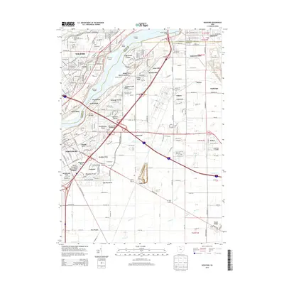
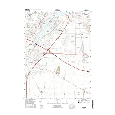
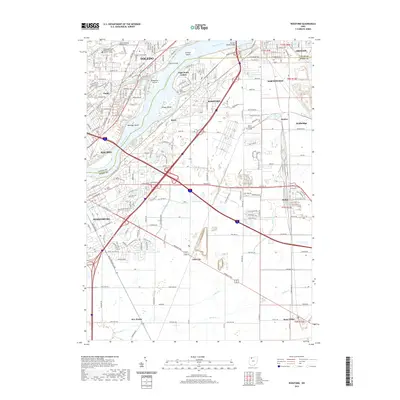
(15)- 2010 Map of Rossford, 2010 Print
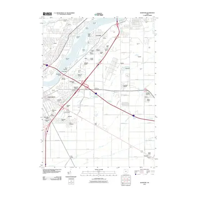 2010 Rossford2010 Print · USGSCovers Perrysburg, including Toledo, Oregon, and other nearby areas
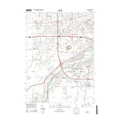
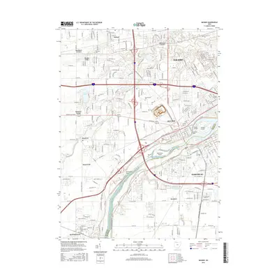
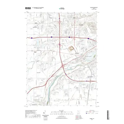
 - 2010 Map of Maumee, 2010 Print
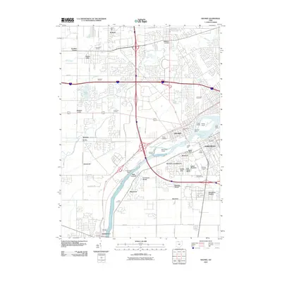 2010 Maumee2010 Print · USGSCovers Perrysburg, including Toledo, Maumee, and other nearby areas
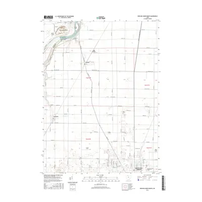
 - 2010 Map of Bowling Green North, 2010 Print
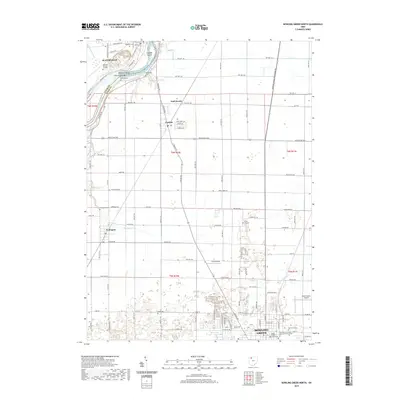
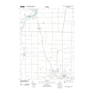 2010 Bowling Green North2010 Print · USGSCovers Perrysburg, including Bowling Green, Waterville, and other nearby areas
 - 2013 Map of Bowling Green North, 2013 Print
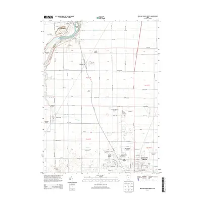 2013 Bowling Green North2013 Print · USGSCovers Perrysburg, including Bowling Green, Waterville, and other nearby areas
 - 2013 Map of Rossford, 2013 Print
 2013 Rossford2013 Print · USGSCovers Perrysburg, including Toledo, Oregon, and other nearby areas
 - 2013 Map of Maumee, 2013 Print
 2013 Maumee2013 Print · USGSCovers Perrysburg, including Toledo, Maumee, and other nearby areas
 - 2016 Map of Bowling Green North, 2016 Print
 2016 Bowling Green North2016 Print · USGSCovers Perrysburg, including Bowling Green, Waterville, and other nearby areas
 - 2016 Map of Maumee, 2016 Print
 2016 Maumee2016 Print · USGSCovers Perrysburg, including Toledo, Maumee, and other nearby areas
 - 2016 Map of Rossford, 2016 Print
 2016 Rossford2016 Print · USGSCovers Perrysburg, including Toledo, Oregon, and other nearby areas
 - 2019 Map of Bowling Green North, 2019 Print
 2019 Bowling Green North2019 Print · USGSCovers Perrysburg, including Bowling Green, Waterville, and other nearby areas
 - 2019 Map of Maumee, 2019 Print
 2019 Maumee2019 Print · USGSCovers Perrysburg, including Toledo, Maumee, and other nearby areas
 - 2019 Map of Rossford, 2019 Print
 2019 Rossford2019 Print · USGSCovers Perrysburg, including Toledo, Oregon, and other nearby areas
 - 2023 Map of Maumee, 2023 Print
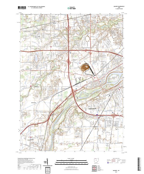 2023 Maumee2023 Print · USGSThe riverfront communities of Maumee and Perrysburg are shown in the 2020s, anchored by the river's distinctive islands and rapids. Genealogists can trace family sites at Riverside Cem and Lyon Cem or explore the boundaries of the Maumee Reserve.
 - 2023 Map of Rossford, 2023 Print
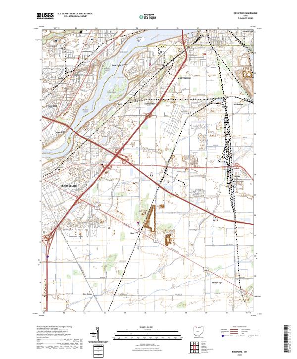 2023 Rossford2023 Print · USGSThe Maumee River corridor south of Toledo is shown here in its modern industrial and residential complexity. Researchers can trace the layout of family cemeteries and institutions, from the Toledo State Hospital Old Cem to the neighborhoods of Rossford and Lime City.
 - 2023 Map of Bowling Green North, 2023 Print
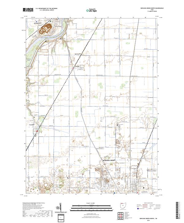 2023 Bowling Green North2023 Print · USGSWood County in the 2020s shows the continued growth of the university city and the surrounding agricultural hamlets. Genealogists can locate family sites near Plain Cemetery or Union Hill Cemetery, and trace the riverfront at Roche de Boeuf.
End of results
Showing maps 1-15 of 15
Top cities near Perrysburg
- Toledo historical maps
- Bedford Township historical maps
- Bowling Green historical maps
- Oregon historical maps
- Sylvania historical maps
- Maumee historical maps
See more
Top neighborhoods of Perrysburg
Frequently asked questions
- What are the different types of historical maps available for Perrysburg?
- What is the oldest map of Perrysburg?
- Where can I purchase historical maps of Perrysburg for my home or office?
- Where can I download high-res historical maps of Perrysburg?
- Are there historical topographic maps available for Perrysburg?
- Is there historical aerial imagery available for Perrysburg?
- Where are historical maps of Perrysburg sourced from?