2020s Maps of Beaver County, Oklahoma
Explore 45 historic maps of Beaver County from the 2020s. These maps offer a rare glimpse into what life looked like during the 2020s — showing old roads, neighborhoods, homes, and landmarks that have changed or disappeared over time.
Whether you're researching your family's past, planning a metal detecting trip, or studying how Beaver County's landscape evolved across the 2020s, these high-resolution maps are a powerful tool for exploring the history of this region.
- Focus on a specific era: All maps on this page are from the 2020s, giving you a focused view of this time period.
- See what’s changed: Compare century-old streets, trails, and buildings to today's modern landscape using overlays and satellite layers.
- Research with precision: Use these maps for genealogy, historical research, land use analysis, or educational projects.
- View, download, or print: Maps are fully viewable online in high resolution, and can be downloaded or printed for your own records.
Start exploring Beaver County's history through authentic maps from the 2020s. This is your window into the past.
Beaver County, OK maps
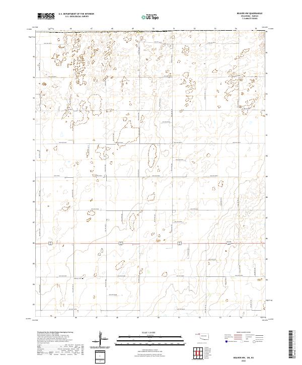
(45)- 2022 Map of Kismet SW, 2022 Print
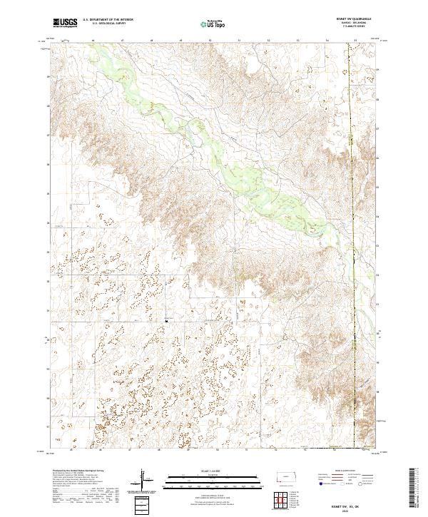 2022 Kismet SW2022 Print · USGSSeward County and Meade County meet along the Cimarron River in this modern topographic study of the High Plains. Genealogists and local historians can locate the Bixler Cem and trace the winding paths of Wolf Canyon and River Rd.
 - 2022 Map of Irish Flats, 2022 Print
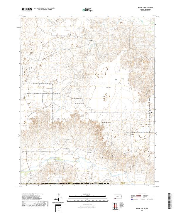 2022 Irish Flats2022 Print · USGSThe High Plains along the Kansas and Oklahoma border appear in this recent survey of rural Meade County. Researchers can locate Elsie Chapel Cem and trace the winding course of the Cimarron River near the expansive Irish Flats.
 - 2022 Map of Proffitt Lake SW, 2022 Print
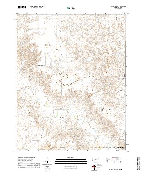 2022 Proffitt Lake SW2022 Print · USGSThe Kansas-Oklahoma border comes to life in this survey of the high plains, where the divide between Meade and Beaver counties is marked by winding creek beds. Family historians can locate Butler Cem or trace the early paths of Fivemile Cr and Crooked Cr.
 - 2022 Map of Kismet SE, 2022 Print
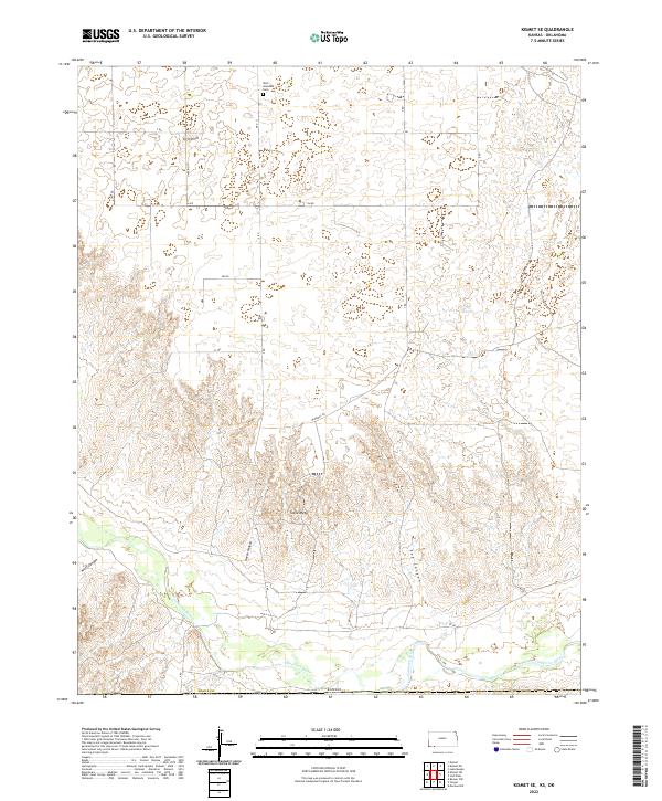 2022 Kismet SE2022 Print · USGSMeade County, Kansas, is shown here in the early twenty-first century, where the flat High Plains meet the deep breaks of the Cimarron River valley. Genealogists and local historians can locate the West Glendale Cem or trace the drainage paths of Wolf Canyon and Fox Canyon.
 - 2022 Map of Irish Flats SE, 2022 Print
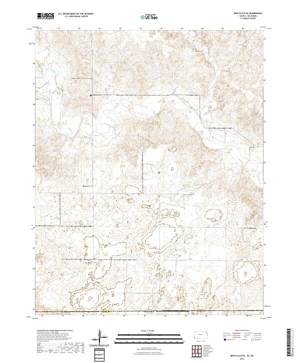 2022 Irish Flats SE2022 Print · USGSThe Kansas and Oklahoma border comes into focus in this recent survey of the High Plains. Genealogists and local historians can locate the Lutheran Cem and trace the paths of Crooked Cr and Remuda Cr across the state line.
 - 2022 Map of Mount Helen, 2022 Print
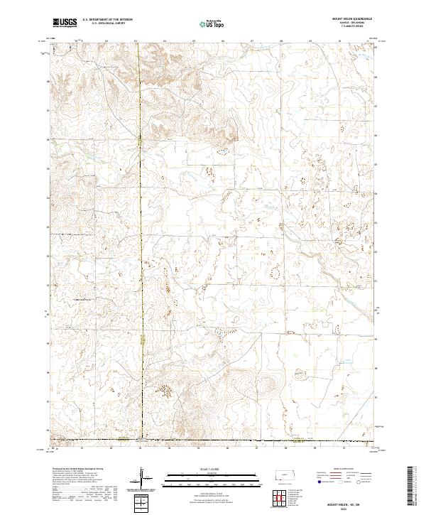 2022 Mount Helen2022 Print · USGSThe High Plains of the Kansas-Oklahoma border are captured here in the early twenty-first century, showing the intersection of three counties. Genealogists and land researchers can trace property boundaries near Mt Helen or follow the path of Fivemile Creek to Wells Reservoir.
 - 2022 Map of Mocane SE, 2022 Print
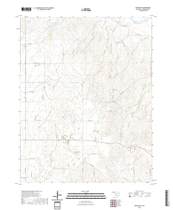
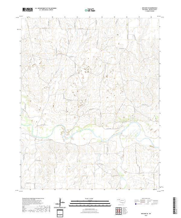 2022 Mocane SE2022 Print · USGSThe Oklahoma Panhandle is revealed in this contemporary survey, where the Beaver River carves a path through the plains. Local historians can trace drainage patterns and rural access routes along Spring Cr and through the area's many hollows.
 - 2022 Map of Bryans Corner, 2022 Print
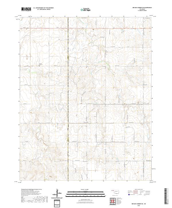
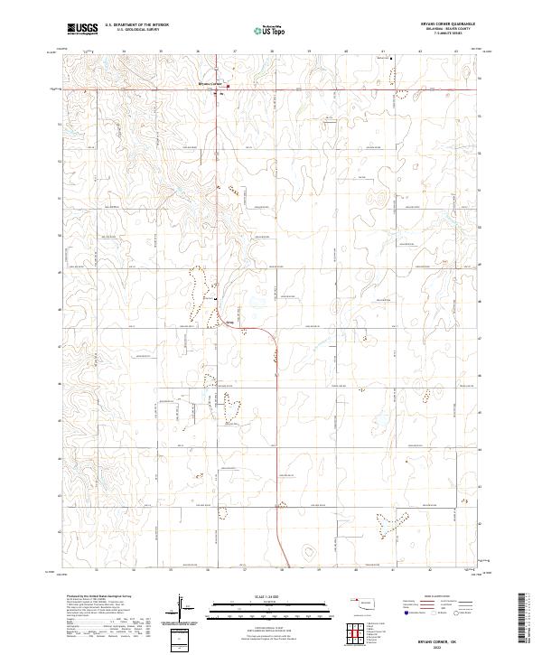 2022 Bryans Corner2022 Print · USGSBeaver County, Oklahoma, is documented here in a modern survey that captures the enduring agricultural grid and scattered settlements of the High Plains. Genealogists can locate family sites near Bryans Corner and Gray, or trace burials at Bethel Cem and Gray Cem.
 - 2022 Map of Logan NE, 2022 Print
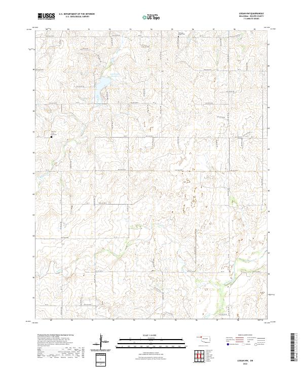
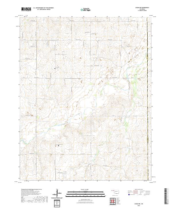 2022 Logan NE2022 Print · USGSThe Oklahoma Panhandle's high plains are captured here in the 2020s, showing the intersection of Beaver and Harper counties. Researchers can trace the courses of Kiowa Creek and find rural landmarks like Fairview Cem and Madison Cem.
 - 2022 Map of Turpin East, 2022 Print
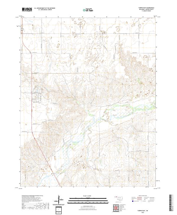 2022 Turpin East2022 Print · USGSThe Oklahoma Panhandle is shown here in the modern era, where the Beaver River crosses a landscape of gridded ranch roads. Researchers can trace the drainage of Short Cr and Jackson Creek against the rural network of Beaver Rd.
 - 2022 Map of Slapout, 2022 Print
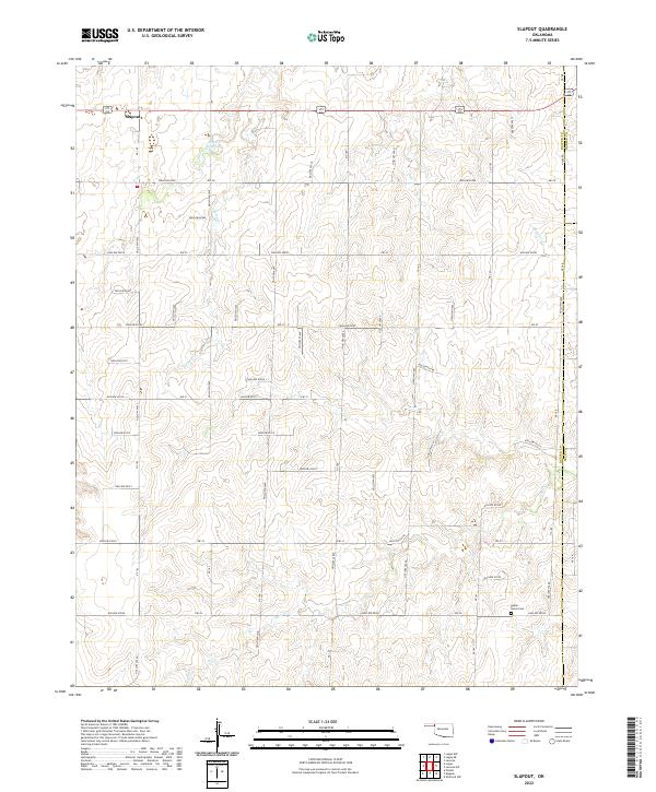 2022 Slapout2022 Print · USGSThe Oklahoma Panhandle is captured here in the early 2020s, showing the intersection of three counties and the high plains terrain. Local historians can trace the rural landscape surrounding Slapout and find the Poplar Grove Cem near Clear Cr.
 - 2022 Map of Floris, 2022 Print
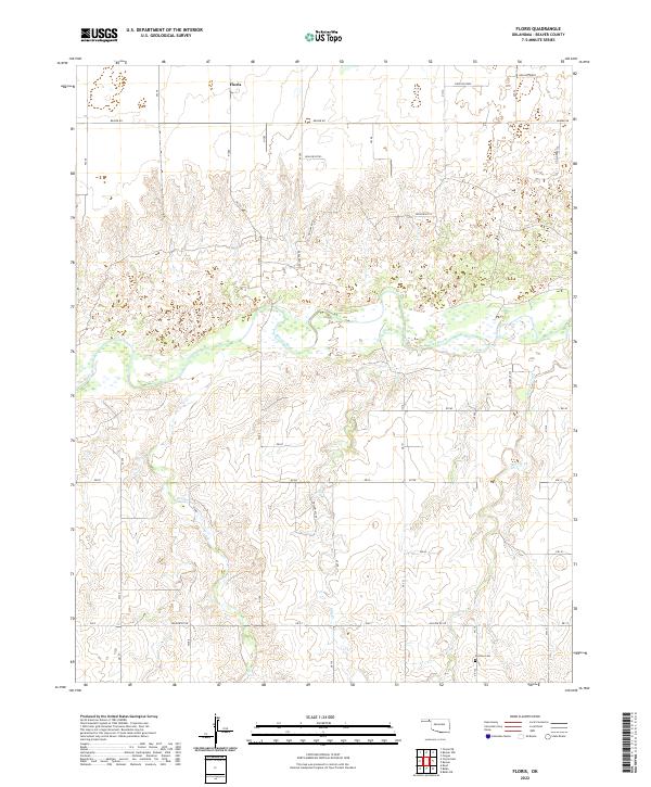 2022 Floris2022 Print · USGSThe Oklahoma Panhandle is shown here in the early twenty-first century, centered on the rural community of Floris and the winding Beaver River. Researchers can trace old family land ties near Overton Cem or follow the drainage of Willow Cr and Dugout Cr.
 - 2022 Map of Little Ponderosa, 2022 Print
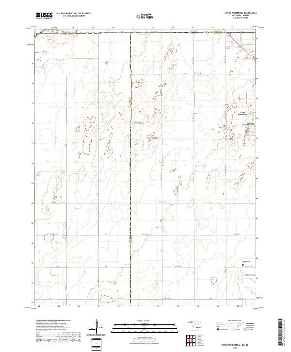 2022 Little Ponderosa2022 Print · USGSThis High Plains borderland at the Oklahoma-Kansas line shows the rural development of Beaver and Texas counties. Researchers can trace local landmarks like Independence Cem and the small settlement of Little Ponderosa among the section-line roads.
 - 2022 Map of Beaver, 2022 Print
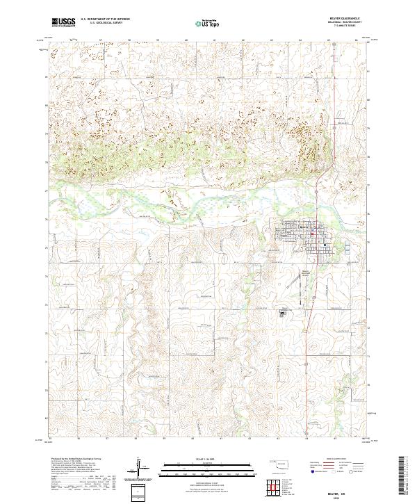 2022 Beaver2022 Print · USGSThe Oklahoma Panhandle town of Beaver is captured here in the early twenty-first century, showing its development along the Beaver River. Researchers can trace the town's expansion from the Beaver County Courthouse to the Beaver Pioneer Cemetery.
 - 2022 Map of Red Horse Creek, 2022 Print
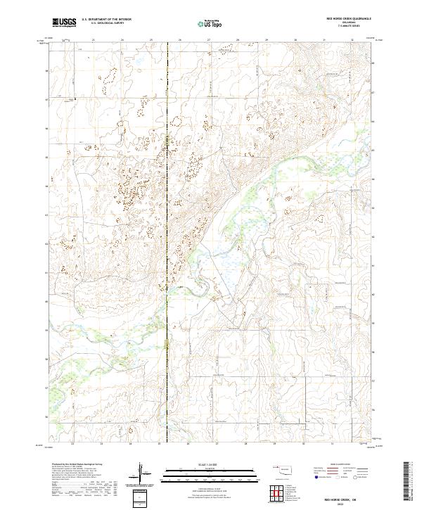 2022 Red Horse Creek2022 Print · USGSThe Oklahoma Panhandle's borderlands are captured here in a period of quiet, rural stability where Texas and Beaver counties meet. Researchers can trace family history at the Union Center Cem or follow the path of the Beaver River and its tributaries like Red Horse Cr.
 - 2022 Map of Elmwood, 2022 Print
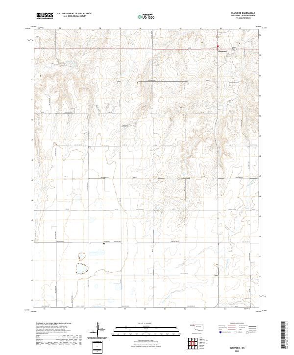 2022 Elmwood2022 Print · USGSSettlement in the Oklahoma Panhandle remains centered around the community of Elmwood in this recent survey of Beaver County. Researchers can locate family landmarks like Kirby Cem and trace the complex drainage patterns of Duck Pond Cr and its many named hollows.
 - 2022 Map of Bryans Corner SW, 2022 Print
 2022 Bryans Corner SW2022 Print · USGSThe Oklahoma Panhandle borderlands are captured here in the early twenty-first century, showing the intersection of Texas and Beaver counties. Genealogists and local historians can locate Pleasant Ridge Cem and trace the paths of Fulton Cr and Sand Cr.
 - 2022 Map of Clear Lake NW, 2022 Print
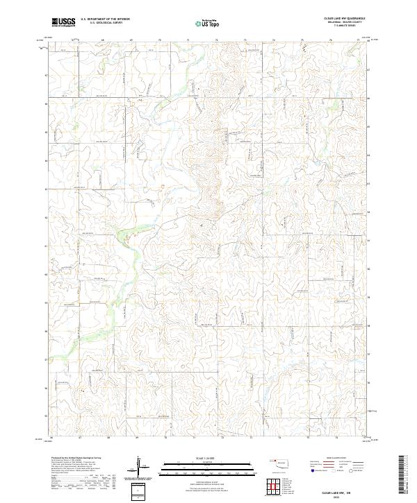 2022 Clear Lake NW2022 Print · USGSThe Oklahoma Panhandle is captured here in the early twenty-first century, showing a landscape of drainage basins and rural energy infrastructure. Researchers can trace the winding paths of Clear Cr and Duck Pond Cr or locate specific points along Oil Fld Rd.
 - 2022 Map of Clear Lake, 2022 Print
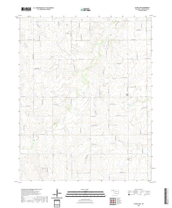 2022 Clear Lake2022 Print · USGSBeaver County ranch lands in the Oklahoma Panhandle are shown here in recent detail, dominated by the waters of Clear Lake. Researchers can trace the section-line roads and numerous named draws like Duck Pond Cr and Sand Cr that define the local landscape.
 - 2022 Map of Clear Lake SW, 2022 Print
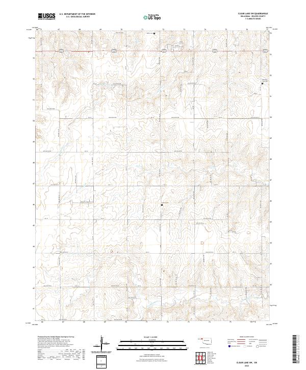 2022 Clear Lake SW2022 Print · USGSBeaver County at the start of the 2020s remains a region of vast section lines and quiet rural landmarks. Researchers can trace family history at Barier Cem, Sophia Cem, and Mountain View Cem or follow the terrain from Duck Pond Cr into the many named hollows.
 - 2022 Map of Beaver NW, 2022 Print
 2022 Beaver NW2022 Print · USGSThe Oklahoma Panhandle is captured here in the early twenty-first century, showcasing the vast agricultural grid northwest of Beaver Oklahoma. Researchers can trace local section lines and find historical sites like Midway Cem along Hollow N1270.
 - 2022 Map of Balko SW, 2022 Print
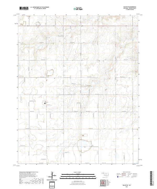 2022 Balko SW2022 Print · USGSBeaver County’s high plains are documented here in the early twenty-first century, showing the enduring grid of the Oklahoma panhandle. Genealogists and local historians can locate the Blue Mound Cem and trace the paths of N Fork Clear Cr and Ew Balko School St.
 - 2022 Map of Mocane NW, 2022 Print
 2022 Mocane NW2022 Print · USGSBeaver County, Oklahoma, is shown in the early 2020s as a landscape shaped by the Cimarron River and rural section-line roads. Researchers can trace the development of local water resources through features like Xit Number 8 Reservoir and the Eagan Number 1 Reservoir.
 - 2022 Map of Balko NE, 2022 Print
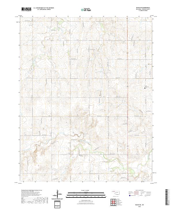 2022 Balko NE2022 Print · USGSBeaver County in the Oklahoma Panhandle shows its agricultural and community foundations in this modern survey. Researchers can locate family landmarks like Busch Chapel Cem and Capitol View Cem along the waters of North Fork Clear Creek.
 - 2022 Map of Logan NW, 2022 Print
 2022 Logan NW2022 Print · USGSBeaver County, Oklahoma, is documented here in the early twenty-first century, showing the rural character of the Panhandle. Researchers can locate remote landmarks like the Oilfield and historical burial sites at Highland Chapel Cemetery.
Showing maps 1-25 of 45
Top cities of Beaver County
- Beaver historical maps
- Forgan historical maps
- Gate historical maps
- Knowles historical maps
- Slapout historical maps
Frequently asked questions
- What are the different types of historical maps available for Beaver County?
- What is the oldest map of Beaver County?
- Where can I purchase historical maps of Beaver County for my home or office?
- Where can I download high-res historical maps of Beaver County?
- Are there historical topographic maps available for Beaver County?
- Is there historical aerial imagery available for Beaver County?
- Where are historical maps of Beaver County sourced from?