2000s (21st Century) Maps of Beaver County, Oklahoma
Explore 225 historic maps of Beaver County from the 2000s (21st Century). These maps offer a rare glimpse into what life looked like during the 2000s — showing old roads, neighborhoods, homes, and landmarks that have changed or disappeared over time.
Whether you're researching your family's past, planning a metal detecting trip, or studying how Beaver County's landscape evolved across the 2000s, these high-resolution maps are a powerful tool for exploring the history of this region.
- Focus on a specific era: All maps on this page are from the 2000s, giving you a focused view of this time period.
- See what’s changed: Compare century-old streets, trails, and buildings to today's modern landscape using overlays and satellite layers.
- Research with precision: Use these maps for genealogy, historical research, land use analysis, or educational projects.
- View, download, or print: Maps are fully viewable online in high resolution, and can be downloaded or printed for your own records.
Start exploring Beaver County's history through authentic maps from the 2000s. This is your window into the past.
Beaver County, OK maps
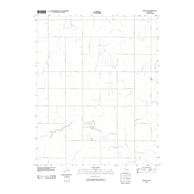
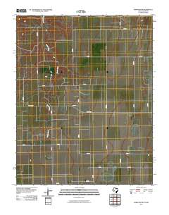
(225)- 2010 Map of Mocane SE, 2010 Print
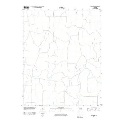 2010 Mocane SE2010 Print · USGSCovers Beaver County, including United States, Oklahoma, and other nearby areas
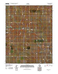
 - 2010 Map of Turpin East, 2010 Print
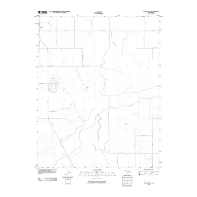 2010 Turpin East2010 Print · USGSCovers Beaver County, including United States, Oklahoma, and other nearby areas
 - 2010 Map of Mocane SW, 2010 Print
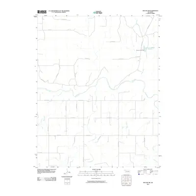 2010 Mocane SW2010 Print · USGSCovers Beaver County, including United States, Oklahoma, and other nearby areas
 - 2010 Map of Turpin West, 2010 Print
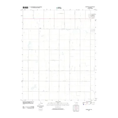 2010 Turpin West2010 Print · USGSCovers Beaver County, including Turpin, Texas County, and other nearby areas
 - 2010 Map of Balko, 2010 Print
 2010 Balko2010 Print · USGSCovers Beaver County, including Balko, United States, and other nearby areas
 - 2010 Map of Floris, 2010 Print
 2010 Floris2010 Print · USGSCovers Beaver County, including Floris, United States, and other nearby areas
 - 2010 Map of Knowles, 2010 Print
 2010 Knowles2010 Print · USGSCovers Beaver County, including Knowles, United States, and other nearby areas
 - 2010 Map of Boyd, 2010 Print
 2010 Boyd2010 Print · USGSCovers Beaver County, including Boyd, United States, and other nearby areas
 - 2010 Map of Red Horse Creek, 2010 Print
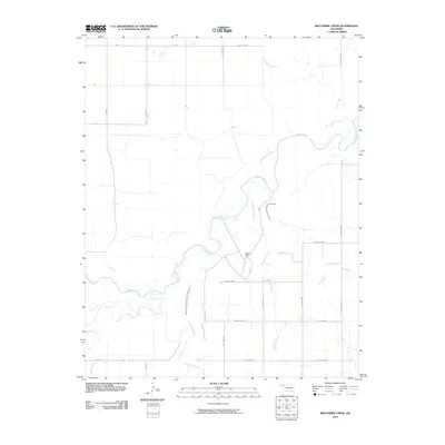 2010 Red Horse Creek2010 Print · USGSCovers Beaver County, including Texas County, United States, and other nearby areas
 - 2010 Map of Logan NE, 2010 Print
 2010 Logan NE2010 Print · USGSCovers Beaver County, including Harper County, United States, and other nearby areas
 - 2010 Map of Gate, 2010 Print
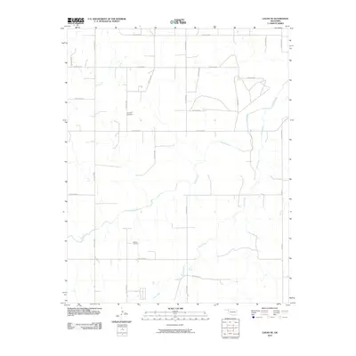
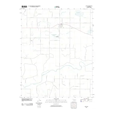 2010 Gate2010 Print · USGSCovers Beaver County, including Gate, Harper County, and other nearby areas
 - 2010 Map of Clear Lake NW, 2010 Print
 2010 Clear Lake NW2010 Print · USGSCovers Beaver County, including United States, Oklahoma, and other nearby areas
 - 2010 Map of Beaver, 2010 Print
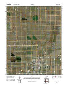
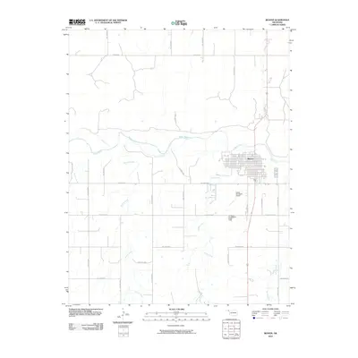 2010 Beaver2010 Print · USGSCovers Beaver County, including Beaver, United States, and other nearby areas
 - 2010 Map of Balko NE, 2010 Print
 2010 Balko NE2010 Print · USGSCovers Beaver County, including United States, Oklahoma, and other nearby areas
 - 2010 Map of Clear Lake, 2010 Print
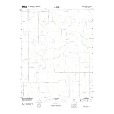
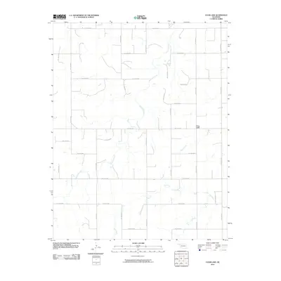 2010 Clear Lake2010 Print · USGSCovers Beaver County, including Clear Lake, United States, and other nearby areas
 - 2010 Map of Follett, 2010 Print
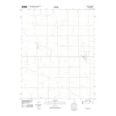 2010 Follett2010 Print · USGSCovers Beaver County, including Follett, Sherlock, and other nearby areas
 - 2010 Map of Perryton, 2010 Print
 2010 Perryton2010 Print · USGSCovers Beaver County, including Perryton, Ochiltree County, and other nearby areas
 - 2010 Map of Huntoon, 2010 Print
 2010 Huntoon2010 Print · USGSCovers Beaver County, including Perryton, Twichell, and other nearby areas
 - 2010 Map of Booker, 2010 Print
 2010 Booker2010 Print · USGSCovers Beaver County, including Booker, Lipscomb County, and other nearby areas
 - 2010 Map of Darrouzett, 2010 Print
 2010 Darrouzett2010 Print · USGSCovers Beaver County, including Darrouzett, Lipscomb County, and other nearby areas
 - 2010 Map of Perryton NW, 2010 Print
 2010 Perryton NW2010 Print · USGSCovers Beaver County, including Texas County, Ochiltree County, and other nearby areas
 - 2010 Map of Magoun, 2010 Print
 2010 Magoun2010 Print · USGSCovers Beaver County, including Magoun, Ellis County, and other nearby areas
 - 2010 Map of Little Ponderosa, 2010 Print
 2010 Little Ponderosa2010 Print · USGSCovers Beaver County, including Little Ponderosa, Seward County, and other nearby areas
 - 2010 Map of Gate NW, 2010 Print
 2010 Gate NW2010 Print · USGSCovers Beaver County, including Knowles, United States, and other nearby areas
 - 2010 Map of Mocane NW, 2010 Print
 2010 Mocane NW2010 Print · USGSCovers Beaver County, including United States, Oklahoma, and other nearby areas
Showing maps 1-25 of 225
Top cities of Beaver County
- Beaver historical maps
- Forgan historical maps
- Gate historical maps
- Knowles historical maps
- Slapout historical maps
Frequently asked questions
- What are the different types of historical maps available for Beaver County?
- What is the oldest map of Beaver County?
- Where can I purchase historical maps of Beaver County for my home or office?
- Where can I download high-res historical maps of Beaver County?
- Are there historical topographic maps available for Beaver County?
- Is there historical aerial imagery available for Beaver County?
- Where are historical maps of Beaver County sourced from?