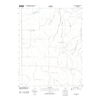
2010 Map of Mocane NW
USGS Topo · Published 2010About this map
The Cimarron River cuts across the northeastern corner of this Beaver County landscape, where the high plains of the Oklahoma Panhandle are defined by an intricate network of drainage hollows. Water management is a primary feature of this terrain, evidenced by a series of engineered catchments including the Xit Number 10 Reservoir, Eagon Number 1 Reservoir, and Xit Number 8 Reservoir. These reservoirs, held by structures such as the Xit Number 10 Dam and Eagon Number 1 Dam, suggest a cattle-ranching or agricultural economy reliant on seasonal runoff. The land is heavily dissected by numerous named hollows, such as Hollow E0030 and Hollow N1430, which feed south toward the Timber Creek drainage. This system of canyons and intermittent watercourses reveals the subtle but complex topography of the Mocane region at the start of the 21st century.
Find a feature on this map
41 named features on this map. Tap any name to fly to it.
Don’t see what you’re looking for? This feature index may not catch every label — zoom into the map to look around manually.
Map Details
Editions of this 2010 Mocane NW Map
This is the sole edition of this map. No revisions or reprints were ever made.
Other maps of this area

1892 · Meade
USGS Topo · 1:125,000

1954 · Perryton
USGS Topo · 1:250,000

1955 · Dodge City
USGS Topo · 1:250,000

1958 · Perryton
USGS Topo · 1:250,000

1958 · Dodge City
USGS Topo · 1:250,000

1959 · Dodge City
USGS Topo · 1:250,000

1962 · Irish Flats SE
USGS Topo · 1:24,000

1963 · Kismet SE
USGS Topo · 1:24,000

1963 · Irish Flats
USGS Topo · 1:24,000

1970 · Mocane NW
USGS Topo · 1:24,000