Old Maps of Knowles, Oklahoma for Metal Detecting
Plan your next treasure hunt with 15 historic maps of Knowles. Find old homesites, ghost towns, trails, and gathering spots that may be lost to time — perfect for identifying promising metal detecting locations.
- Locate forgotten sites: Uncover places like long-lost settlements, abandoned rail lines, or gathering spots.
- Plan better hunts: Use map overlays combined with LiDAR or satellite views to narrow in on historically rich areas.
- Made for detectorists: Thousands of hobbyists use these maps to discover relics, coins, and hidden history.
Use these historic maps to boost your research and find new opportunities beneath the surface of Knowles.
Knowles, OK maps
(15)- 1954 Map of Perryton, 1966 Print
 1954 Perryton1966 Print · USGSThe High Plains of the Texas and Oklahoma panhandles are shown during a period of steady growth in the mid-1950s. Genealogists and researchers can trace rail history and local landmarks like Panhandle A & M College, Spurlock Chapel, and the isolated Lord Station.3 unique versions available
 - 1958 Map of Perryton
 1958 Perryton1958 Print · USGSThe Oklahoma Panhandle and Texas borderlands come alive in this mid-century survey, showing the vital rail-and-ranch economy of the High Plains. Researchers can trace historic stops along the Chicago Rock Island and Pacific and locate rural landmarks like Bethel Church and Spurlock Chapel.
 - 1970 Map of Knowles, 1972 Print
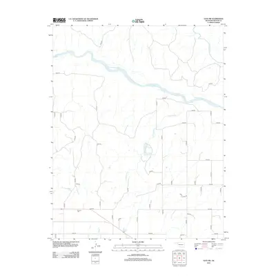
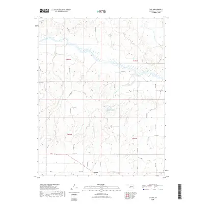
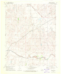 1970 Knowles1972 Print · USGSKnowles and the surrounding High Plains of Beaver County are captured here during the height of the region's energy production in the early seventies. Genealogists and historians can trace the Missouri-Kansas-Texas railroad corridor and the network of Gas Wells that dotted the landscape near the Beaver River.
 - 1970 Map of Gate NW, 1973 Print
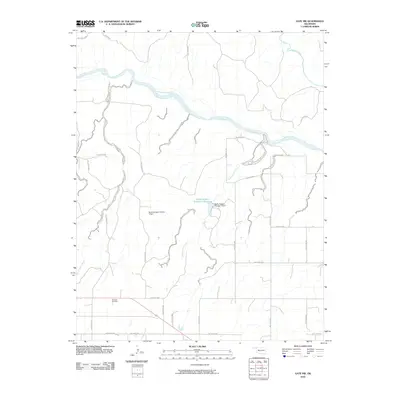
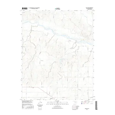
 1970 Gate NW1973 Print · USGSThe Oklahoma panhandle and Kansas border come alive in 1970, showing a landscape of river bends and rail lines. Genealogists and researchers can locate the town of Knowles, the Knowles Cem, and the path of the Missouri-Kansas-Texas railroad.
 - 1986 Map of Beaver
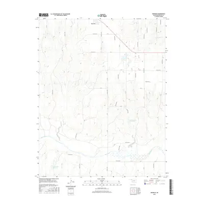
 1986 Beaver1986 Print · USGSThe Oklahoma Panhandle is shown in the mid-eighties as a landscape of energy production and resilient prairie settlements. Trace the networks of the Oil and Gas Fields surrounding towns like Beaver, Forgan, and Turpin.2 unique versions available
 - 2010 Map of Knowles, 2010 Print
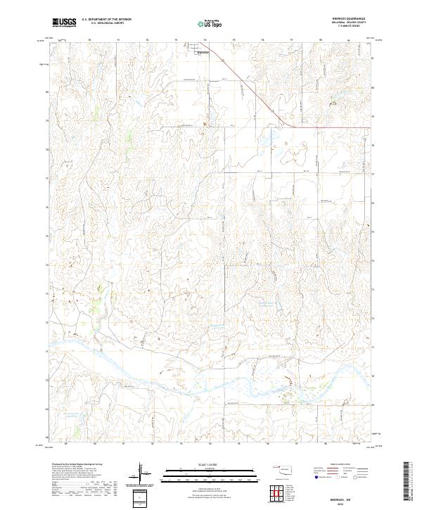
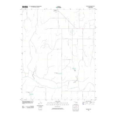 2010 Knowles2010 Print · USGSCovers Knowles, including Beaver County, United States, and other nearby areas
 - 2010 Map of Gate NW, 2010 Print
 2010 Gate NW2010 Print · USGSCovers Knowles, including Beaver County, United States, and other nearby areas
 - 2012 Map of Knowles, 2012 Print
 2012 Knowles2012 Print · USGSCovers Knowles, including Beaver County, United States, and other nearby areas
 - 2012 Map of Gate NW, 2012 Print
 2012 Gate NW2012 Print · USGSCovers Knowles, including Beaver County, United States, and other nearby areas
 - 2016 Map of Knowles, 2016 Print
 2016 Knowles2016 Print · USGSCovers Knowles, including Beaver County, United States, and other nearby areas
 - 2016 Map of Gate NW, 2016 Print
 2016 Gate NW2016 Print · USGSCovers Knowles, including Beaver County, United States, and other nearby areas
 - 2018 Map of Knowles, 2018 Print
 2018 Knowles2018 Print · USGSCovers Knowles, including Beaver County, United States, and other nearby areas
 - 2018 Map of Gate NW, 2018 Print
 2018 Gate NW2018 Print · USGSCovers Knowles, including Beaver County, United States, and other nearby areas
 - 2022 Map of Knowles, 2022 Print
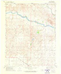
 2022 Knowles2022 Print · USGSThe high plains of the Oklahoma panhandle come into focus in this recent survey of the area around Knowles. Researchers can trace local water management systems along the Beaver River and locate family-named landmarks like Barby Number 3 Reservoir and Mexico Cr.
 - 2022 Map of Gate NW, 2022 Print
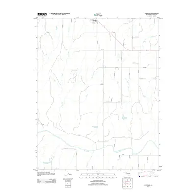
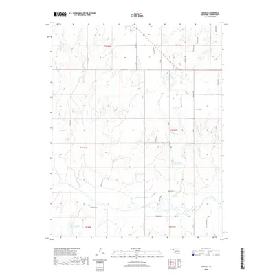
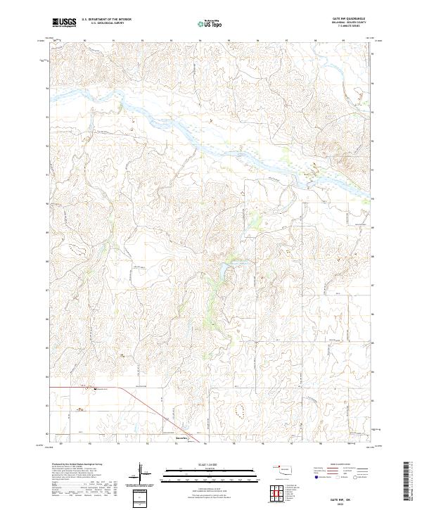 2022 Gate NW2022 Print · USGSBeaver County, Oklahoma, is shown in the early 2020s as a landscape of wide river breaks and quiet prairie settlements. Local researchers can trace family sites near Knowles or find historic burials at Knowles Cem along the Cimarron River corridor.
End of results
Showing maps 1-15 of 15
Top cities near Knowles
Frequently asked questions
- What are the different types of historical maps available for Knowles?
- What is the oldest map of Knowles?
- Where can I purchase historical maps of Knowles for my home or office?
- Where can I download high-res historical maps of Knowles?
- Are there historical topographic maps available for Knowles?
- Is there historical aerial imagery available for Knowles?
- Where are historical maps of Knowles sourced from?