2020s Maps of Beckham County, Oklahoma
Explore 31 historic maps of Beckham County from the 2020s. These maps offer a rare glimpse into what life looked like during the 2020s — showing old roads, neighborhoods, homes, and landmarks that have changed or disappeared over time.
Whether you're researching your family's past, planning a metal detecting trip, or studying how Beckham County's landscape evolved across the 2020s, these high-resolution maps are a powerful tool for exploring the history of this region.
- Focus on a specific era: All maps on this page are from the 2020s, giving you a focused view of this time period.
- See what’s changed: Compare century-old streets, trails, and buildings to today's modern landscape using overlays and satellite layers.
- Research with precision: Use these maps for genealogy, historical research, land use analysis, or educational projects.
- View, download, or print: Maps are fully viewable online in high resolution, and can be downloaded or printed for your own records.
Start exploring Beckham County's history through authentic maps from the 2020s. This is your window into the past.
Beckham County, OK maps
(31)- 2022 Map of Lake Creek, 2022 Print
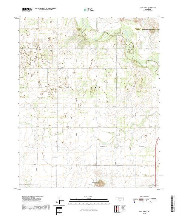 2022 Lake Creek2022 Print · USGSGreer County ranching lands and the tri-county border area appear here in the early twenty-first century. Researchers can trace local history through features like Pleasant Valley Cem, the settlement at Lake Creek, and the winding North Fork Red River.
 - 2022 Map of Herring, 2022 Print
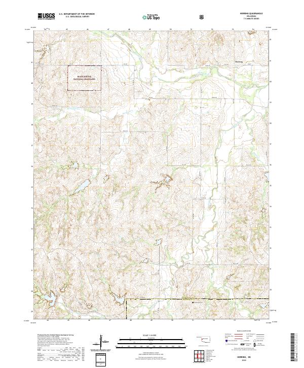 2022 Herring2022 Print · USGSRoger Mills County ranching country is documented here during the early twenty-first century, showing the intersection of public conservation and private land. Researchers can locate Sandstone Cem and the settlement of Herring along the Washita River.
 - 2022 Map of Doxey, 2022 Print
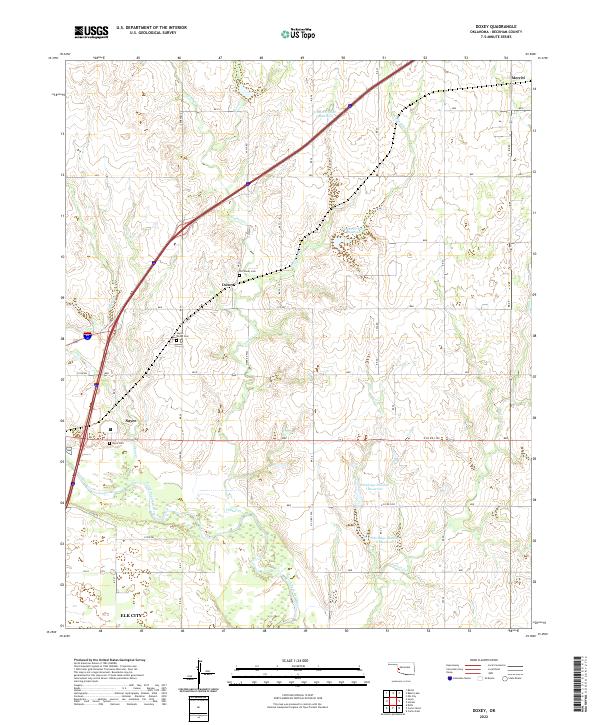 2022 Doxey2022 Print · USGSWestern Oklahoma’s prairie landscape is mapped here in the early 2020s, centered on the community of Doxey and the northern outskirts of Sayre. Researchers can trace local heritage through the Old Doxey Cem and the winding course of the North Fork Red River.
 - 2022 Map of Baker Lake, 2022 Print
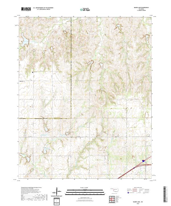 2022 Baker Lake2022 Print · USGSBerlin and the surrounding western Oklahoma ranchlands are captured here in the early twenty-first century. Researchers can trace family roots at Berlin Cem or study the watershed reservoirs like Timbercreek Site 4 Reservoir along Timber Cr.
 - 2022 Map of Sayre, 2022 Print
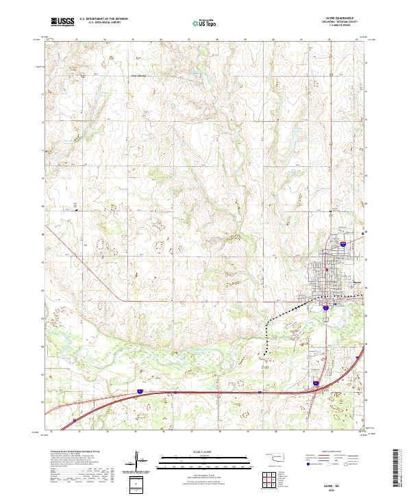 2022 Sayre2022 Print · USGSThe county seat of Sayre and its surrounding ranchlands are documented here in the early 2020s. Researchers can trace family history at Lone Oak Cem or explore the river bottom terrain along the North Fork Red River and Turkey Cr.
 - 2022 Map of Elk City SE, 2022 Print
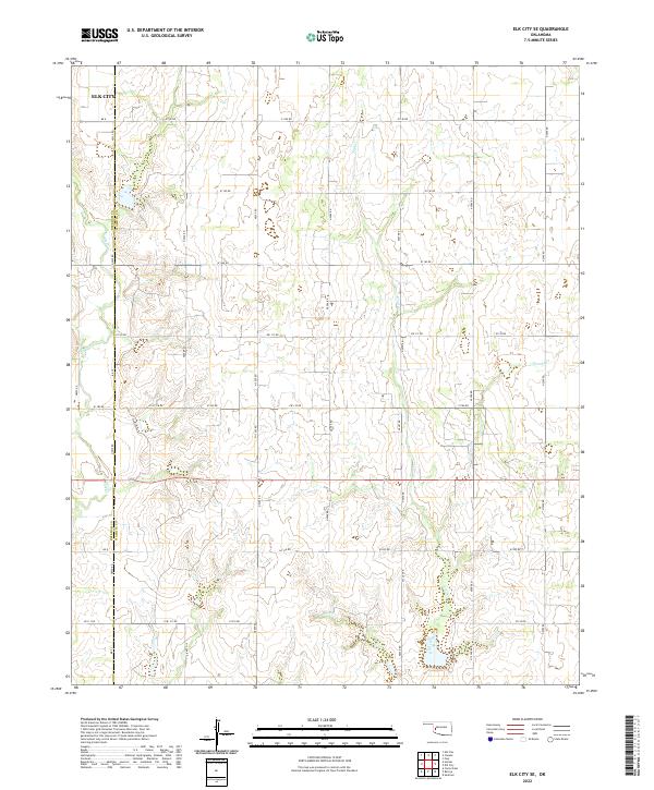 2022 Elk City SE2022 Print · USGSWashita and Beckham Counties are shown here during the early twenty-first century, a landscape defined by its grid of prairie roads and creek drainages. Genealogists and local researchers can trace family land positions near Elk City and along the banks of Trail Cr and George Cr.
 - 2022 Map of Grimes, 2022 Print
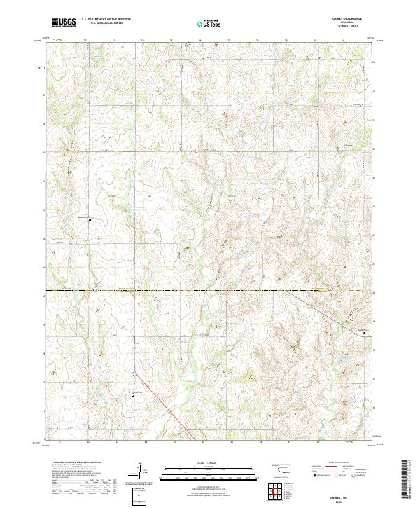 2022 Grimes2022 Print · USGSWestern Oklahoma’s borderlands are captured in the early twenty-first century, showing the rural settlement of Grimes and the surrounding ranching country. Researchers can trace local heritage through sites like Brookside Cem, Buffalo Cem, and the drainage of Middle Buffalo Cr.
 - 2022 Map of Elk City, 2022 Print
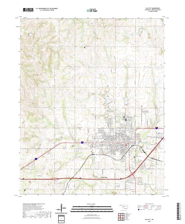 2022 Elk City2022 Print · USGSThe regional hub of western Oklahoma is captured in this modern survey, showing its expanding street grid and industrial footprint. Trace local history through Fairlawn Cemetery or the site of Merritt near the waters of Elk Creek.
 - 2022 Map of Sweetwater, 2022 Print
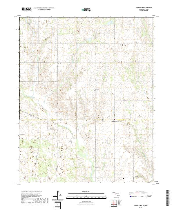 2022 Sweetwater2022 Print · USGSThe Oklahoma-Texas state line and the Beckham county border meet in this contemporary survey of the High Plains. Genealogists can locate rural burials at Mulberry Cem and Salem Cem or trace the early settlement sites of Sweetwater and Meridian.
 - 2022 Map of Carter West, 2022 Print
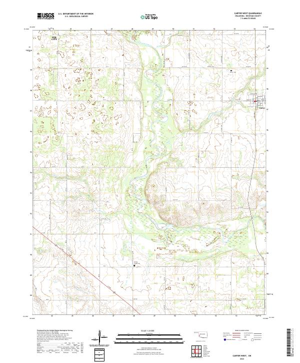 2022 Carter West2022 Print · USGSBeckham County's agricultural heartland is documented here in the early twenty-first century, showing the rural landscape around Carter. Genealogists and local historians can locate Carter Cem and Spring Creek Cem while tracing the winding path of the North Fork Red River.
 - 2022 Map of Delhi, 2022 Print
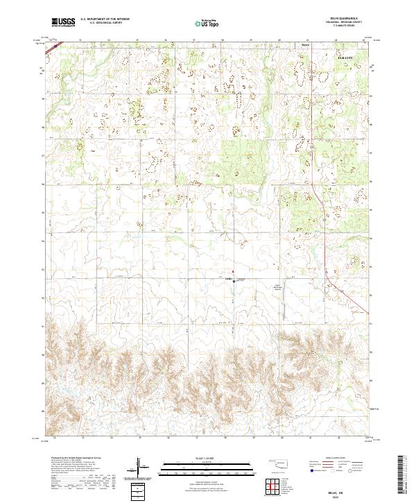 2022 Delhi2022 Print · USGSWestern Oklahoma’s agricultural landscape is documented here in the early twenty-first century near the settlement of Delhi. Genealogists and researchers can locate the Delhi Cem and trace the drainage of Sand Cr and Haystack Cr.
 - 2022 Map of Carter East, 2022 Print
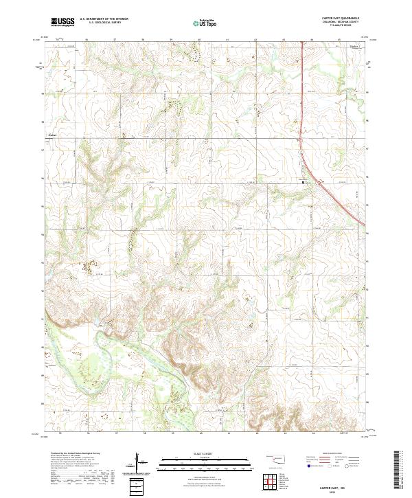 2022 Carter East2022 Print · USGSBeckham County at the start of the 2020s shows a landscape where the North Fork Red River still dictates the rural layout. Researchers can locate family sites near Poarch Cem and trace the paths of Sadler Cr and Boggy Cr.
 - 2022 Map of Willow, 2022 Print
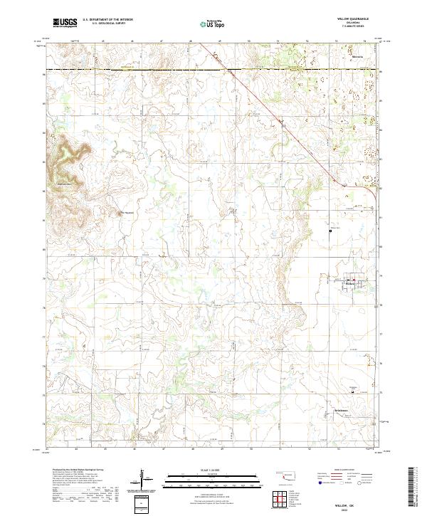 2022 Willow2022 Print · USGSSouthwestern Oklahoma's agricultural heartland is documented here, showing the rural communities of Willow and Brinkman. Researchers can trace family history through the Willow Cem and Brinkman Cem or locate the prominent Haystack Mtn.
 - 2022 Map of Mayfield, 2022 Print
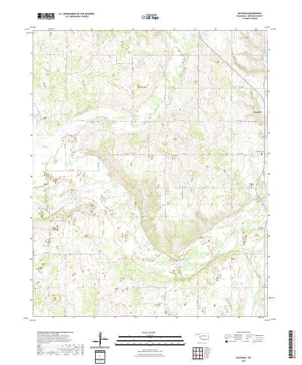 2022 Mayfield2022 Print · USGSBeckham County's agricultural grid and river valleys are captured here in the early 2020s. Genealogists and local historians can trace the area surrounding Mayfield, the Mayfield Cem, and the winding course of the N Fork Red River.
 - 2022 Map of Retrop, 2022 Print
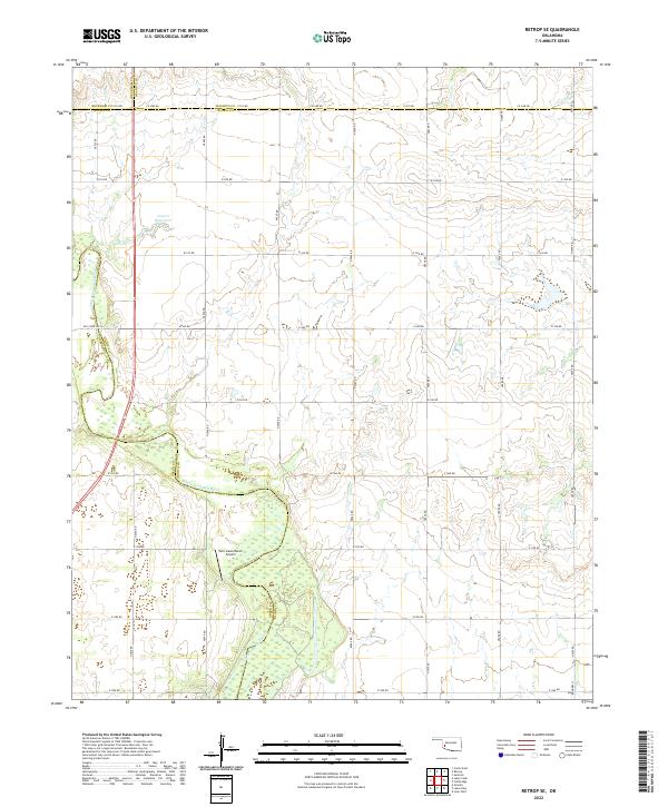
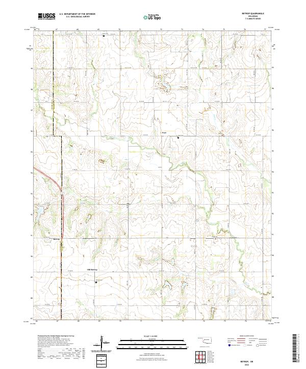 2022 Retrop2022 Print · USGSWashita and Beckham counties meet in this western Oklahoma landscape during the early twenty-first century. Genealogists can trace family roots through sites like Old Retrop, Port Cem, and Retrop Cem while following the bends of Elk Cr.
 - 2022 Map of Minnow Creek, 2022 Print
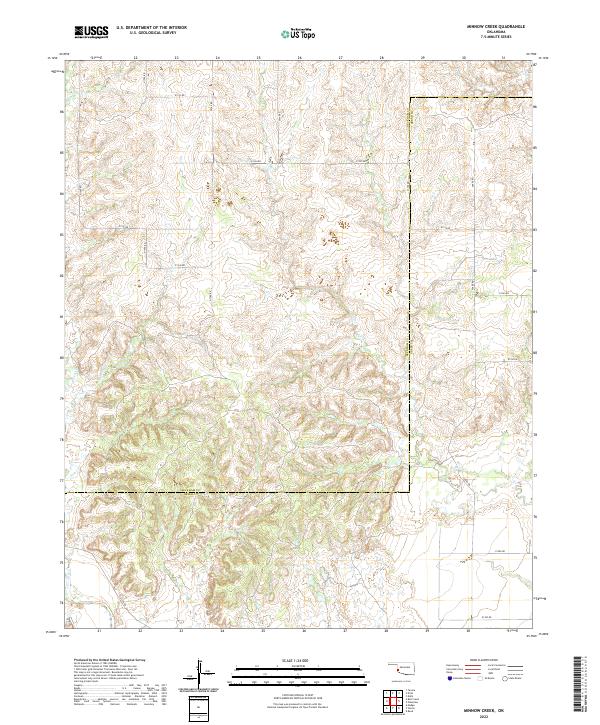 2022 Minnow Creek2022 Print · USGSWestern Oklahoma cattle country and prairie drainages are documented in this recent survey of the Beckham and Greer county line. Researchers can trace the rural road network and seasonal watercourses like Minnow Creek, Fish Creek, and Root Creek.
 - 2022 Map of Erick, 2022 Print
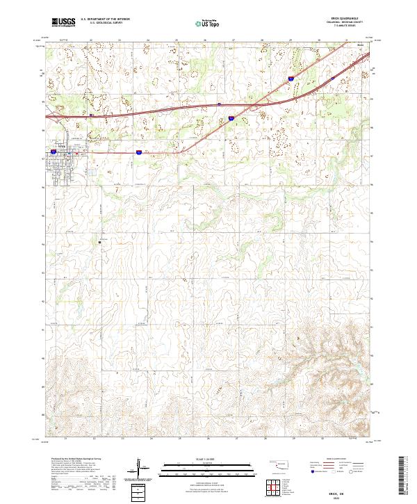 2022 Erick2022 Print · USGSThe western Oklahoma plains near Erick are shown here in the contemporary era, illustrating the enduring grid of cattle country. Researchers can pinpoint the Erick Cem and trace seasonal watercourses like Turkey Cr and Haystack Cr.
 - 2022 Map of Retrop SE, 2022 Print
 2022 Retrop SE2022 Print · USGSThe rural borderlands of southwest Oklahoma are charted here in the early twenty-first century, where four counties converge. Genealogists can trace family lands along Co Line Rd or near the North Fork Red River and Twin Lakes Ranch.
 - 2022 Map of Big Kiowa Creek, 2022 Print
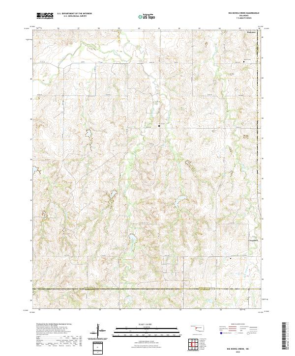 2022 Big Kiowa Creek2022 Print · USGSWestern Oklahoma’s prairie and creek bottoms are documented here in the early twenty-first century, showing the rural landscape of Roger Mills County. Genealogists can locate family sites near Red Hill Cem, Kiowa Cem, or the small settlements of Hammon and Carpenter.
 - 2022 Map of Plainview, 2022 Print
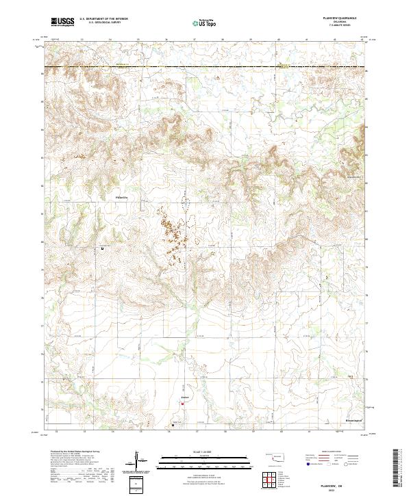 2022 Plainview2022 Print · USGSGreer County, Oklahoma, is shown in the early 2020s as a quiet landscape of agricultural section lines and winding prairie creeks. Researchers can trace rural lineages at the Plainview Cem and Jester Cem near the small community of Jester.
 - 2022 Map of Bull Creek, 2022 Print
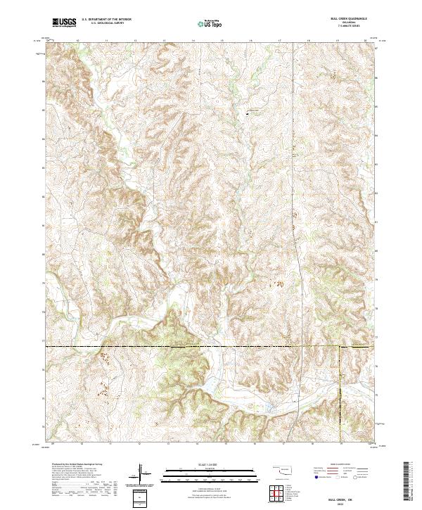 2022 Bull Creek2022 Print · USGSThe rural borders of Beckham, Harmon, and Greer counties are mapped here in the early twenty-first century, showing a landscape shaped by deep creek drainages. Genealogists and local historians can locate Vannerson Cem and trace the paths of Bull Cr and Fish Cr.
 - 2022 Map of Prentiss, 2022 Print
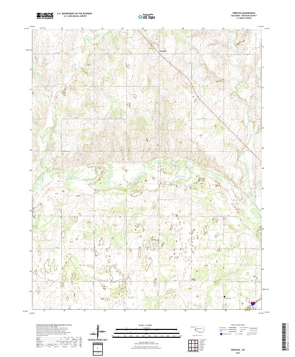 2022 Prentiss2022 Print · USGSBeckham County's agricultural plains and river bottoms are captured here in the early twenty-first century. Researchers can locate the Pioneer Cem and trace the winding courses of Starvation Cr and the N Fork Red River.
 - 2022 Map of Carpenter, 2022 Print
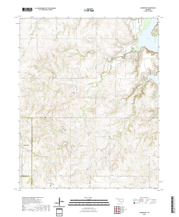 2022 Carpenter2022 Print · USGSThe tri-county boundary where Custer, Roger Mills, and Beckham counties meet reveals a landscape of Oklahoma ranching and reservoir life. Researchers can trace family sites like the Thompson Pixlee Cem or follow the drainage of Panther Cr and Foss Reservoir.
 - 2022 Map of Berlin, 2022 Print
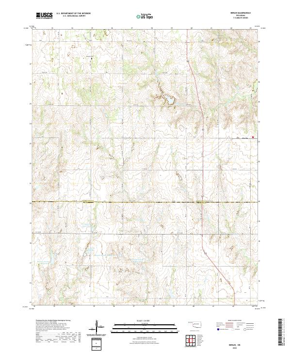 2022 Berlin2022 Print · USGSThe rural border of Roger Mills and Beckham counties comes into focus in this contemporary survey of western Oklahoma. Researchers can trace land ties at Rosehill Cem or explore the water network of Marshall Lake and D C Thetford Reservoir.
 - 2022 Map of Hocker, 2022 Print
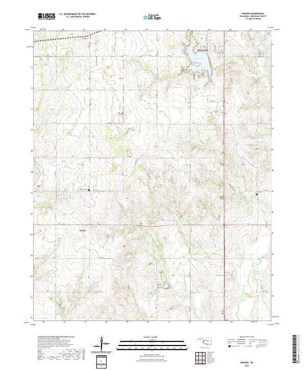 2022 Hocker2022 Print · USGSOklahoma's western prairie meets the outskirts of a growing regional hub in this recent survey of the Beckham County countryside. Genealogists and local historians can trace the rural road network to Bellview Cem, Ural Cem, and the waters of Lake Elk City.
Showing maps 1-25 of 31
Top cities of Beckham County
- Elk City historical maps
- Sayre historical maps
- Erick historical maps
- Carter historical maps
- Texola historical maps
Frequently asked questions
- What are the different types of historical maps available for Beckham County?
- What is the oldest map of Beckham County?
- Where can I purchase historical maps of Beckham County for my home or office?
- Where can I download high-res historical maps of Beckham County?
- Are there historical topographic maps available for Beckham County?
- Is there historical aerial imagery available for Beckham County?
- Where are historical maps of Beckham County sourced from?