Old Maps of Carter, Oklahoma for Academic Research
Study the evolution of Carter with 17 high-resolution historic maps. Whether you're teaching, researching, or modeling changes in land use, these maps provide essential visual documentation of urban, environmental, and geographic change.
- Analyze long-term change: Track patterns in development, transportation, and natural features.
- Ideal for environmental or urban studies: Support academic projects with primary historical map data.
- Use in the classroom or lab: Educators and researchers rely on these maps to bring historical context to life.
These maps are a powerful tool for teaching, research, and visualizing how Carter has changed over the decades.
Carter, OK maps
(17)- 1955 Map of Clinton, 1964 Print
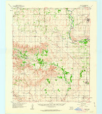
 1955 Clinton1964 Print · USGSWestern Oklahoma during the mid-century transition shows a landscape of growing reservoirs and active military flight lines. Genealogists and historians can locate rural landmarks such as Mountain View Church, Berlin School, and the Riverside Indian School Reserve.3 unique versions available
 - 1957 Map of Clinton
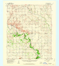
 1957 Clinton1957 Print · USGSWestern Oklahoma in the mid-fifties is captured here as a landscape of river-valley settlements and emerging energy fields. Genealogists can trace family roots through numerous rural landmarks like the Swapping Back Indian School, Hebron Church, and the Riverside Indian School Reserve.
 - 1961 Map of Willow, 1963 Print
 1961 Willow1963 Print · USGSWestern Oklahoma in the early sixties remains a landscape of rail-connected farming towns and winding river forks. Family historians can trace rural roots through Deer Creek Ch, Carter Cem, and the path of the Missouri Kansas Texas railroad.2 unique versions available
 - 1961 Map of Retrop, 1963 Print
 1961 Retrop1963 Print · USGSSouthwestern Oklahoma at the start of the sixties reveals a landscape shaped by river bends and rural oil fields. Genealogists can locate family landmarks like Poarch Cem, Port Sch, and the community of Retrop, all before modern development shifted the countryside.2 unique versions available
 - 1985 Map of Elk City
 1985 Elk City1985 Print · USGSWestern Oklahoma in the 1980s is defined by its railroad junctions, emerging aviation hubs, and the winding North Fork Red River. Genealogists and local historians can trace the foundations of Sayre and Elk City, alongside landmarks like Clinton-Sherman Airport and Quartz Mountain State Park.2 unique versions available
 - 1989 Map of Carter West
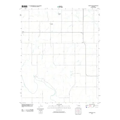
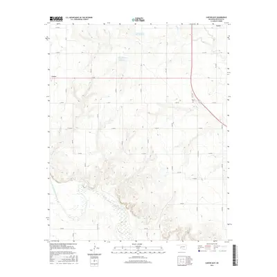
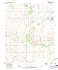 1989 Carter West1989 Print · USGSWestern Oklahoma’s plains near Carter are captured here in the late 1980s, revealing a landscape of winding river bends and energy infrastructure. Researchers can trace the Old Grade, find the Spring Creek Ch, and locate the Gaging Station along the North Fork Red River.
 - 1989 Map of Carter East
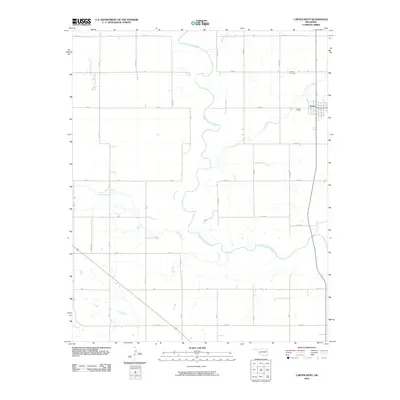
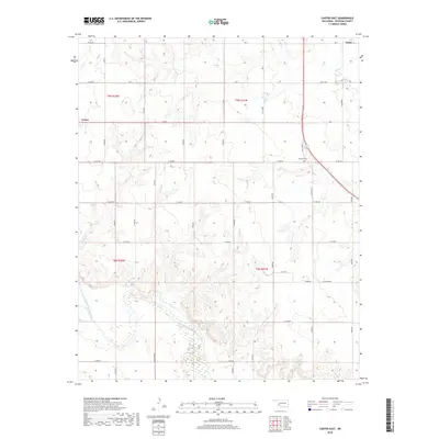
 1989 Carter East1989 Print · USGSOklahoma's western plains are captured here in the late 1980s as the river-and-rail economy evolved. Researchers can trace the Old Railroad Grade near Carter, locate the Poarch Cem, and follow the wide North Fork Red River.
 - 2010 Map of Carter East, 2010 Print
 2010 Carter East2010 Print · USGSCovers Carter, including Taylor, Beckham County, and other nearby areas
 - 2010 Map of Carter West, 2010 Print
 2010 Carter West2010 Print · USGSCovers Carter, including Elk City, Beckham County, and other nearby areas
 - 2012 Map of Carter East, 2012 Print
 2012 Carter East2012 Print · USGSCovers Carter, including Taylor, Beckham County, and other nearby areas
 - 2012 Map of Carter West, 2012 Print
 2012 Carter West2012 Print · USGSCovers Carter, including Elk City, Beckham County, and other nearby areas
 - 2016 Map of Carter East, 2016 Print
 2016 Carter East2016 Print · USGSCovers Carter, including Taylor, Beckham County, and other nearby areas
 - 2016 Map of Carter West, 2016 Print
 2016 Carter West2016 Print · USGSCovers Carter, including Elk City, Beckham County, and other nearby areas
 - 2018 Map of Carter West, 2018 Print
 2018 Carter West2018 Print · USGSCovers Carter, including Elk City, Beckham County, and other nearby areas
 - 2018 Map of Carter East, 2018 Print
 2018 Carter East2018 Print · USGSCovers Carter, including Taylor, Beckham County, and other nearby areas
 - 2022 Map of Carter West, 2022 Print
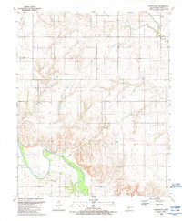
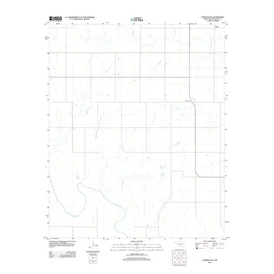
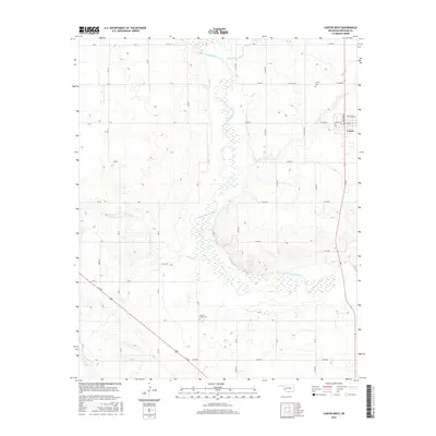
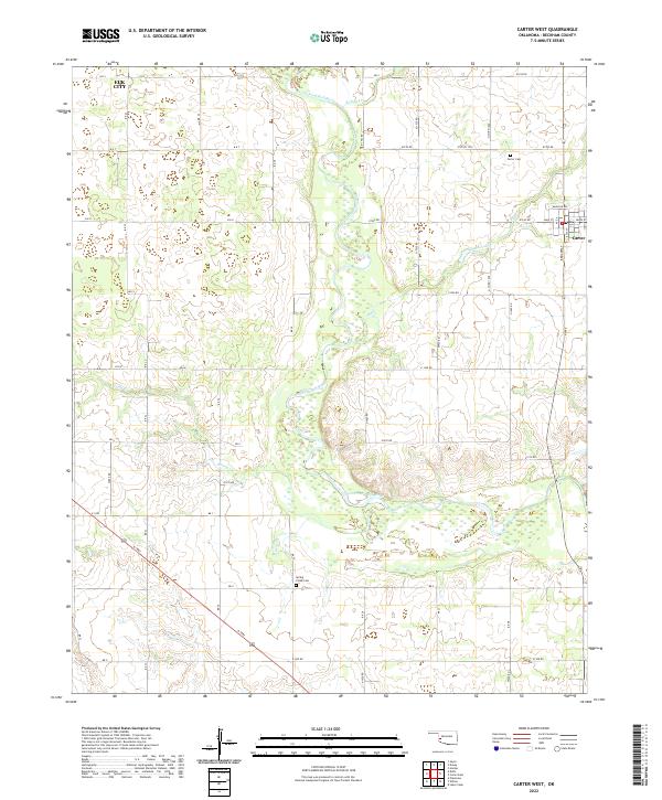 2022 Carter West2022 Print · USGSBeckham County's agricultural heartland is documented here in the early twenty-first century, showing the rural landscape around Carter. Genealogists and local historians can locate Carter Cem and Spring Creek Cem while tracing the winding path of the North Fork Red River.
 - 2022 Map of Carter East, 2022 Print
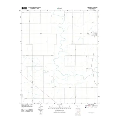
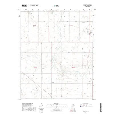
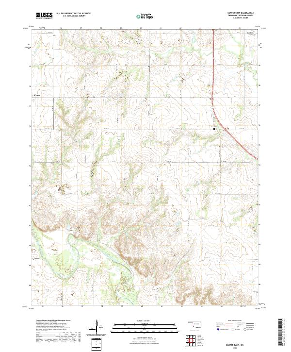 2022 Carter East2022 Print · USGSBeckham County at the start of the 2020s shows a landscape where the North Fork Red River still dictates the rural layout. Researchers can locate family sites near Poarch Cem and trace the paths of Sadler Cr and Boggy Cr.
End of results
Showing maps 1-17 of 17
Top cities near Carter
Frequently asked questions
- What are the different types of historical maps available for Carter?
- What is the oldest map of Carter?
- Where can I purchase historical maps of Carter for my home or office?
- Where can I download high-res historical maps of Carter?
- Are there historical topographic maps available for Carter?
- Is there historical aerial imagery available for Carter?
- Where are historical maps of Carter sourced from?