2000s (21st Century) Maps of Erick, Oklahoma
Explore 10 historic maps of Erick from the 2000s (21st Century). These maps offer a rare glimpse into what life looked like during the 2000s — showing old roads, neighborhoods, homes, and landmarks that have changed or disappeared over time.
Whether you're researching your family's past, planning a metal detecting trip, or studying how Erick's landscape evolved across the 2000s, these high-resolution maps are a powerful tool for exploring the history of this region.
- Focus on a specific era: All maps on this page are from the 2000s, giving you a focused view of this time period.
- See what’s changed: Compare century-old streets, trails, and buildings to today's modern landscape using overlays and satellite layers.
- Research with precision: Use these maps for genealogy, historical research, land use analysis, or educational projects.
- View, download, or print: Maps are fully viewable online in high resolution, and can be downloaded or printed for your own records.
Start exploring Erick's history through authentic maps from the 2000s. This is your window into the past.
Erick, OK maps
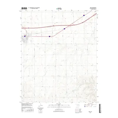
(10)- 2010 Map of Erick, 2010 Print
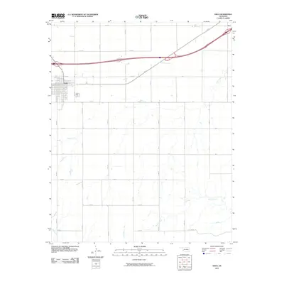 2010 Erick2010 Print · USGSCovers Erick, including Hext, Beckham County, and other nearby areas
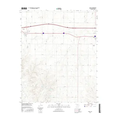
 - 2010 Map of Texola, 2010 Print
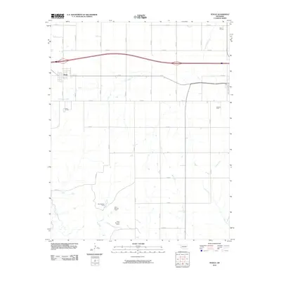 2010 Texola2010 Print · USGSCovers Erick, including Texola, Beckham County, and other nearby areas
 - 2012 Map of Texola, 2012 Print
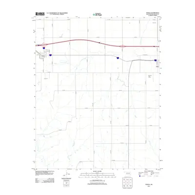 2012 Texola2012 Print · USGSCovers Erick, including Texola, Beckham County, and other nearby areas
 - 2012 Map of Erick, 2012 Print
 2012 Erick2012 Print · USGSCovers Erick, including Hext, Beckham County, and other nearby areas
 - 2016 Map of Erick, 2016 Print
 2016 Erick2016 Print · USGSCovers Erick, including Hext, Beckham County, and other nearby areas
 - 2016 Map of Texola, 2016 Print
 2016 Texola2016 Print · USGSCovers Erick, including Texola, Beckham County, and other nearby areas
 - 2018 Map of Erick, 2018 Print
 2018 Erick2018 Print · USGSCovers Erick, including Hext, Beckham County, and other nearby areas
 - 2018 Map of Texola, 2018 Print
 2018 Texola2018 Print · USGSCovers Erick, including Texola, Beckham County, and other nearby areas
 - 2022 Map of Erick, 2022 Print
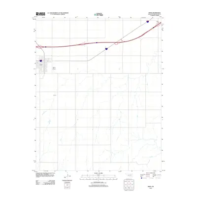
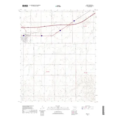
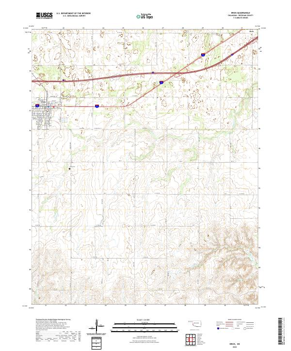 2022 Erick2022 Print · USGSThe western Oklahoma plains near Erick are shown here in the contemporary era, illustrating the enduring grid of cattle country. Researchers can pinpoint the Erick Cem and trace seasonal watercourses like Turkey Cr and Haystack Cr.
 - 2022 Map of Texola, 2022 Print
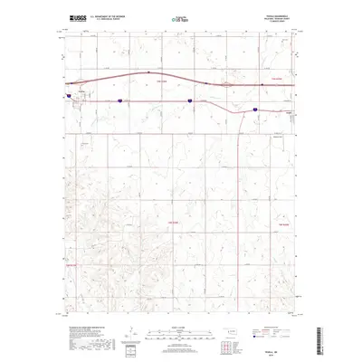
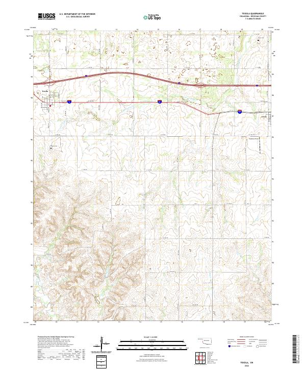 2022 Texola2022 Print · USGSBeckham County at the Texas border shows a landscape defined by pioneer-era grid layouts and winding prairie streams in the early twenty-first century. Family researchers can locate the Davis Cem and Texola Cem, or trace the paths of Little Turkey Cr and Bull Cr.
End of results
Showing maps 1-10 of 10
Top cities near Erick
Frequently asked questions
- What are the different types of historical maps available for Erick?
- What is the oldest map of Erick?
- Where can I purchase historical maps of Erick for my home or office?
- Where can I download high-res historical maps of Erick?
- Are there historical topographic maps available for Erick?
- Is there historical aerial imagery available for Erick?
- Where are historical maps of Erick sourced from?