Old Maps of Erick, Oklahoma for Genealogy
Trace your family roots with 16 historic maps of Erick. These high-res maps reveal old neighborhoods, homesites, landmarks, and streets — helping you uncover where your ancestors lived and how the area evolved over time.
- Explore historic neighborhoods: Identify where your relatives may have lived in the 1800s or 1900s.
- Compare maps over time: Trace the changes in streets, buildings, and landmarks for multi-generational research.
- Perfect for genealogy & ancestry research: Used by family historians and researchers to map out lineage and migration.
These maps are an incredible resource for exploring your personal connection to Erick's past.
Erick, OK maps
(16)- 1955 Map of Clinton, 1964 Print
 1955 Clinton1964 Print · USGSWestern Oklahoma during the mid-century transition shows a landscape of growing reservoirs and active military flight lines. Genealogists and historians can locate rural landmarks such as Mountain View Church, Berlin School, and the Riverside Indian School Reserve.3 unique versions available
 - 1957 Map of Clinton
 1957 Clinton1957 Print · USGSWestern Oklahoma in the mid-fifties is captured here as a landscape of river-valley settlements and emerging energy fields. Genealogists can trace family roots through numerous rural landmarks like the Swapping Back Indian School, Hebron Church, and the Riverside Indian School Reserve.
 - 1961 Map of Erick, 1963 Print
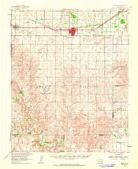 1961 Erick1963 Print · USGSBeckham County, Oklahoma, sits at the intersection of the Texas border and the great rail lines during the early 1960s. Family historians can trace the community life of Erick and Texola, finding specific landmarks like Munnerson Cem and the local Drive-in Theater.2 unique versions available
 - 1985 Map of Elk City
 1985 Elk City1985 Print · USGSWestern Oklahoma in the 1980s is defined by its railroad junctions, emerging aviation hubs, and the winding North Fork Red River. Genealogists and local historians can trace the foundations of Sayre and Elk City, alongside landmarks like Clinton-Sherman Airport and Quartz Mountain State Park.2 unique versions available
 - 1989 Map of Erick
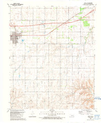 1989 Erick1989 Print · USGSThe Beckham County landscape in the late eighties shows a community at the intersection of prairie agriculture and the energy industry. Researchers can trace the civic core of Erick with its High School and cemetery, or explore the energy infrastructure of the Richland Gas Field.
 - 1989 Map of Texola
 1989 Texola1989 Print · USGSThe Oklahoma-Texas borderlands are captured here in the late twentieth century, centered on the cross-border community of Texola. Genealogists and local historians can trace the Old Railroad Grade and find sites like Texola Cem, Davis Cem, and Haddock Airport.
 - 2010 Map of Erick, 2010 Print
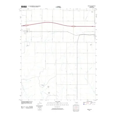
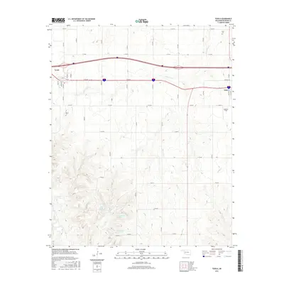
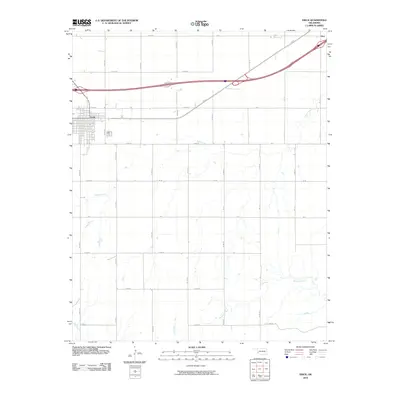 2010 Erick2010 Print · USGSCovers Erick, including Hext, Beckham County, and other nearby areas
 - 2010 Map of Texola, 2010 Print
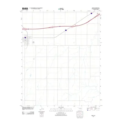
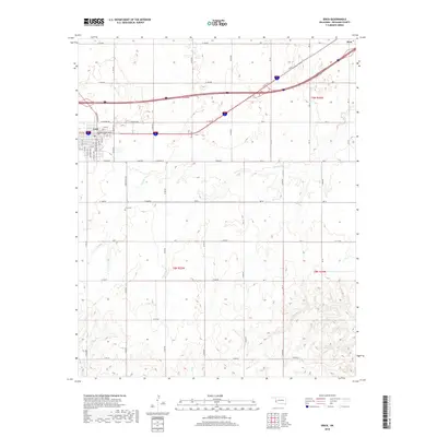
 2010 Texola2010 Print · USGSCovers Erick, including Texola, Beckham County, and other nearby areas
 - 2012 Map of Texola, 2012 Print
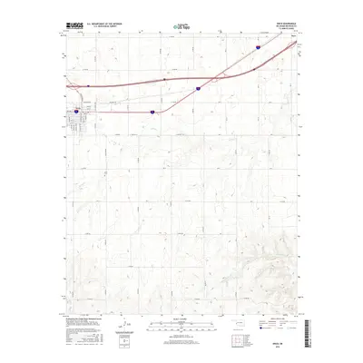
 2012 Texola2012 Print · USGSCovers Erick, including Texola, Beckham County, and other nearby areas
 - 2012 Map of Erick, 2012 Print
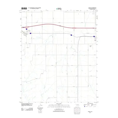
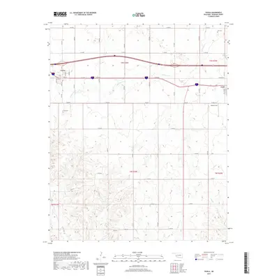
 2012 Erick2012 Print · USGSCovers Erick, including Hext, Beckham County, and other nearby areas
 - 2016 Map of Erick, 2016 Print
 2016 Erick2016 Print · USGSCovers Erick, including Hext, Beckham County, and other nearby areas
 - 2016 Map of Texola, 2016 Print
 2016 Texola2016 Print · USGSCovers Erick, including Texola, Beckham County, and other nearby areas
 - 2018 Map of Erick, 2018 Print
 2018 Erick2018 Print · USGSCovers Erick, including Hext, Beckham County, and other nearby areas
 - 2018 Map of Texola, 2018 Print
 2018 Texola2018 Print · USGSCovers Erick, including Texola, Beckham County, and other nearby areas
 - 2022 Map of Erick, 2022 Print
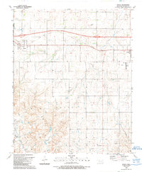
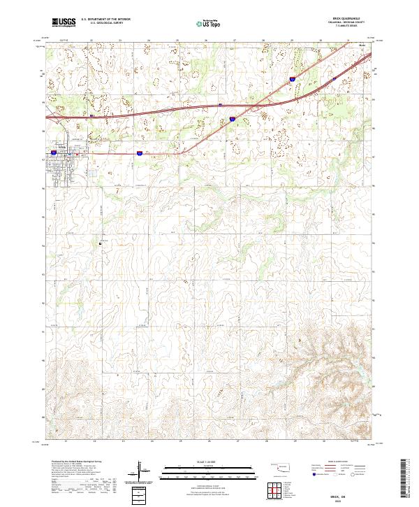 2022 Erick2022 Print · USGSThe western Oklahoma plains near Erick are shown here in the contemporary era, illustrating the enduring grid of cattle country. Researchers can pinpoint the Erick Cem and trace seasonal watercourses like Turkey Cr and Haystack Cr.
 - 2022 Map of Texola, 2022 Print
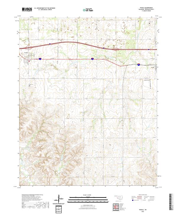 2022 Texola2022 Print · USGSBeckham County at the Texas border shows a landscape defined by pioneer-era grid layouts and winding prairie streams in the early twenty-first century. Family researchers can locate the Davis Cem and Texola Cem, or trace the paths of Little Turkey Cr and Bull Cr.
End of results
Showing maps 1-16 of 16
Top cities near Erick
Frequently asked questions
- What are the different types of historical maps available for Erick?
- What is the oldest map of Erick?
- Where can I purchase historical maps of Erick for my home or office?
- Where can I download high-res historical maps of Erick?
- Are there historical topographic maps available for Erick?
- Is there historical aerial imagery available for Erick?
- Where are historical maps of Erick sourced from?