2020s Maps of Bryan County, Oklahoma
Explore 28 historic maps of Bryan County from the 2020s. These maps offer a rare glimpse into what life looked like during the 2020s — showing old roads, neighborhoods, homes, and landmarks that have changed or disappeared over time.
Whether you're researching your family's past, planning a metal detecting trip, or studying how Bryan County's landscape evolved across the 2020s, these high-resolution maps are a powerful tool for exploring the history of this region.
- Focus on a specific era: All maps on this page are from the 2020s, giving you a focused view of this time period.
- See what’s changed: Compare century-old streets, trails, and buildings to today's modern landscape using overlays and satellite layers.
- Research with precision: Use these maps for genealogy, historical research, land use analysis, or educational projects.
- View, download, or print: Maps are fully viewable online in high resolution, and can be downloaded or printed for your own records.
Start exploring Bryan County's history through authentic maps from the 2020s. This is your window into the past.
Bryan County, OK maps
(28)- 2022 Map of Bennington South, 2022 Print
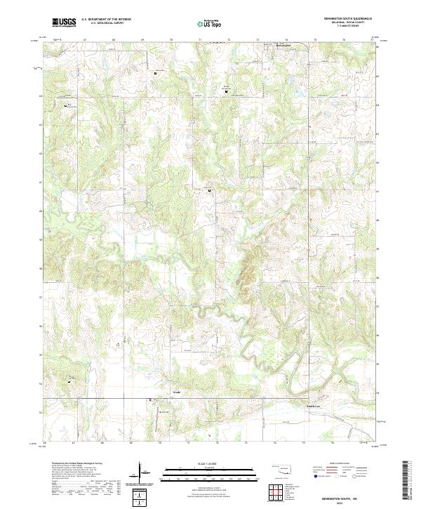 2022 Bennington South2022 Print · USGSBryan County’s southern reaches are documented here in the early 2020s, showcasing the rural landscape south of the Choctaw Nation. Genealogists can trace family footprints at Julius Cem or Blue Branch Cem, while exploring the river settlements of Wade and Smith-Lee.
 - 2022 Map of Achille, 2022 Print
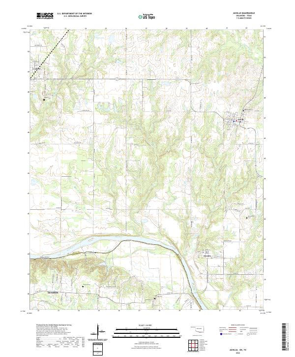 2022 Achille2022 Print · USGSThe Oklahoma-Texas borderlands along the Red River are captured here in the early twenty-first century. Researchers can trace historic family burial sites at Colbert Cem and Bloomfield Cem or follow the path of the Old RR Grade.
 - 2022 Map of Blue, 2022 Print
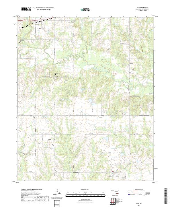 2022 Blue2022 Print · USGSBryan County in the early twenty-first century remains a landscape of quiet rural settlements and winding waterways. Researchers can trace family history through several burial sites like Old Philadelphia Cem or locate old homesteads near Blue, Utica, and Albany.
 - 2022 Map of Kemp, 2022 Print
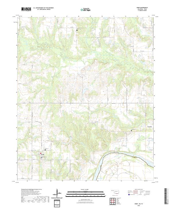 2022 Kemp2022 Print · USGSThe Oklahoma-Texas borderlands along the Red River are preserved here in the early twenty-first century. Genealogists and local historians can trace the grid of rural roads to find Burney Cem, Old Kemp Cem, and the riverfront at Caney Slough.
 - 2022 Map of Yuba, 2022 Print
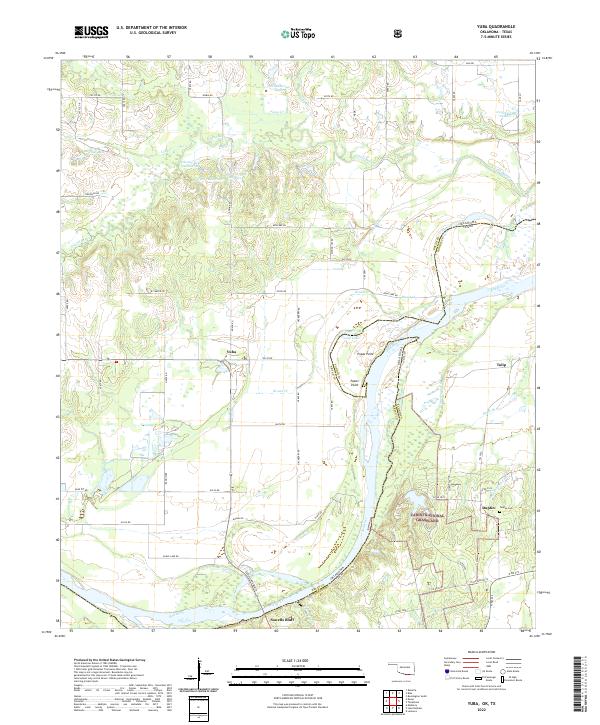 2022 Yuba2022 Print · USGSThe Oklahoma-Texas borderlands are captured here in the early 2020s, centered on the rural communities north of the Red River. Researchers can locate family landmarks such as the Duplex Cem or trace the winding waters of Island Bayou and Shellenburger Lake.
 - 2022 Map of Roberta, 2022 Print
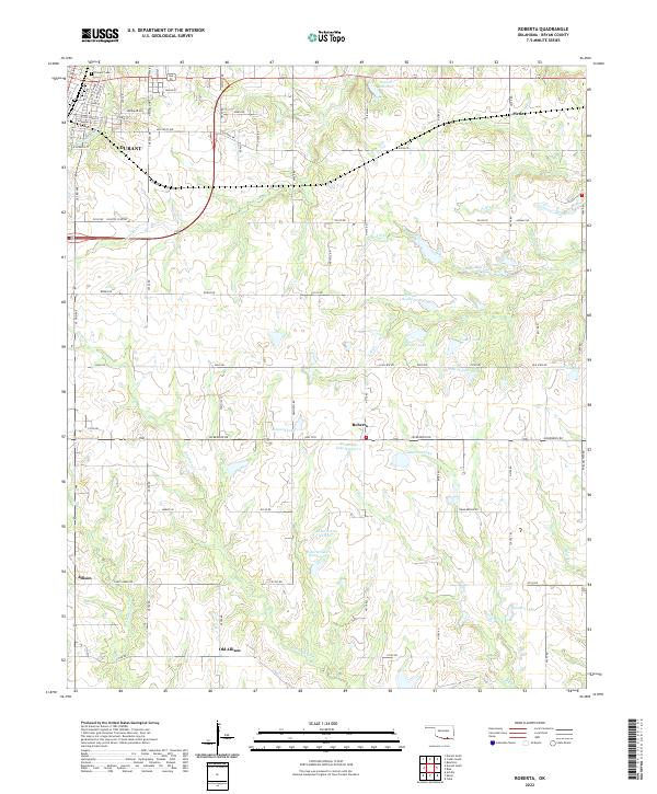 2022 Roberta2022 Print · USGSThe outskirts of Durant meet the rural landscapes of Bryan County in the early 2020s, showing a region defined by its creeks and small lakes. Genealogists and local historians can trace the sites of Pirtle, Roberta, and the Pioneer Cem.
 - 2022 Map of Durant South, 2022 Print
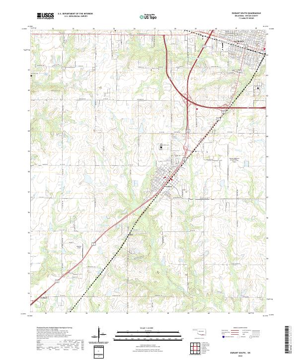 2022 Durant South2022 Print · USGSBryan County in the early 2020s shows the continued growth of Durant and Calera along the north-south transit corridor. Local historians can trace the development of the Durant Regional Airport/Eaker Field and locate family history at Rose Hill Cem or Harrison Cem.
 - 2022 Map of New Oberlin, 2022 Print
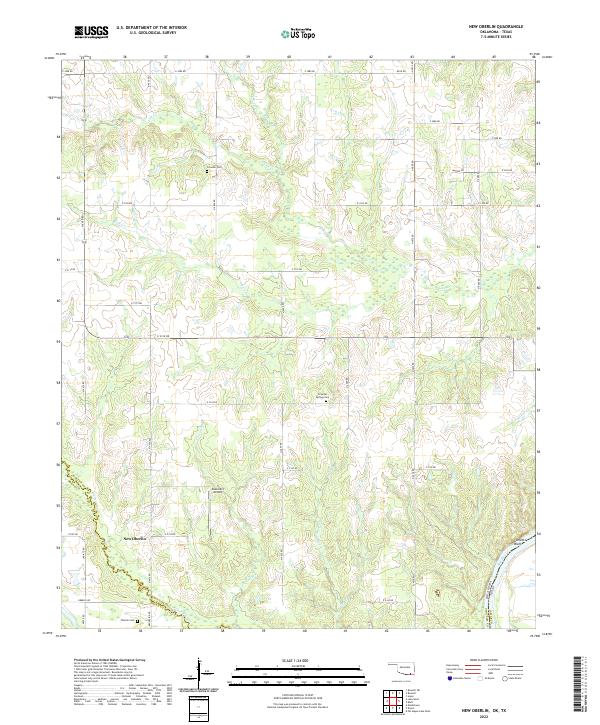 2022 New Oberlin2022 Print · USGSChoctaw County at the Texas border is documented here in the early twenty-first century as the Red River snakes along the state line. Researchers can locate family landmarks such as Oberlin Cem, the settlement of New Oberlin, and Garretts Bluff.
 - 2022 Map of Lake West, 2022 Print
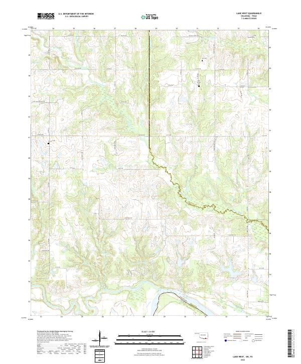 2022 Lake West2022 Print · USGSBryan County, Oklahoma, meets the Texas border in this detailed topographic survey. Genealogists can trace family landmarks like Good Springs Cemetery, Jackson Cemetery, and natural landmarks such as Siby Spring and the Blue River.
 - 2022 Map of Boswell SW, 2022 Print
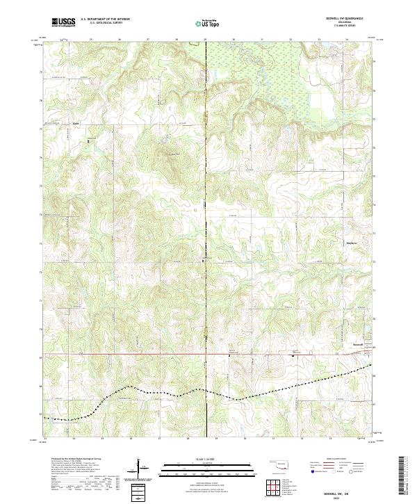 2022 Boswell SW2022 Print · USGSChoctaw County at the turn of the 2020s remains a landscape of quiet creek bottoms and rural crossroads settlements. Genealogists can trace family heritage through the sites of Homer's Chapel Cemetery, Pigeon Roost Cemetery, and the community of Mayhew.
 - 2022 Map of Boswell NW, 2022 Print
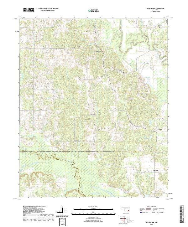 2022 Boswell NW2022 Print · USGSSouthern Oklahoma at the border of Atoka, Bryan, and Choctaw counties remains a landscape of quiet rural settlements and winding waterways. Researchers can trace ancestral connections at Crystal Cem and Farris Cem or locate the small communities of Crystal and Boehler.
 - 2022 Map of Bentley, 2022 Print
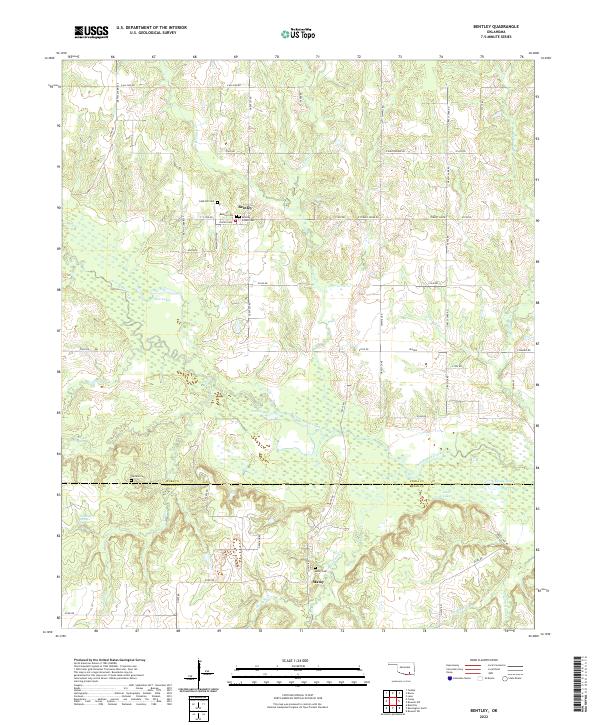 2022 Bentley2022 Print · USGSSoutheastern Oklahoma’s ranching and creek-side landscapes are captured here during the early twenty-first century. Family historians can trace several burial grounds, including Bentley Indian Cem, Turnbull Cem, and Matoy Cem near Clear Boggy Creek.
 - 2022 Map of Caney, 2022 Print
 2022 Caney2022 Print · USGSCaney and the surrounding Oklahoma ranchlands are captured here at the start of the 2020s, revealing a landscape of managed reservoirs and family homesteads. Researchers can pinpoint early burial sites at Stewart Gammon Cemetery and Folsom Cemetery or trace the drainage of Clear Boggy Creek near Buffalo Hill.
 - 2022 Map of Durant North, 2022 Print
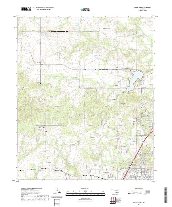 2022 Durant North2022 Print · USGSNorth of Durant in the early 2020s, this area shows a landscape defined by prairie highlands and the winding Blue River. Genealogists and local historians can trace the locations of Keffer Cem, the settlement of Silo, and the Southeastern Oklahoma State University campus.
 - 2022 Map of Caddo South, 2022 Print
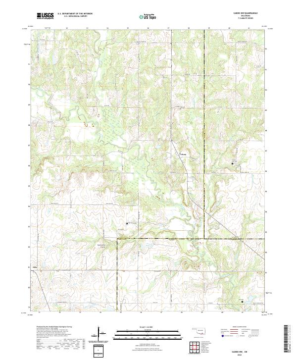
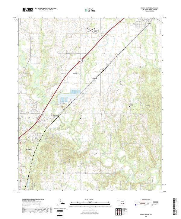 2022 Caddo South2022 Print · USGSThe Bryan County corridor between Caddo and Durant is captured here in the early twenty-first century. Researchers can trace family history at Brown Cem or explore the geography of Armstrong and the Blue River drainage.
 - 2022 Map of Caddo North, 2022 Print
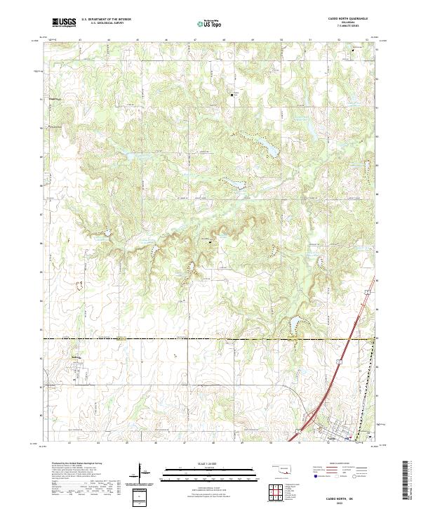 2022 Caddo North2022 Print · USGSThe borderlands of Atoka and Bryan counties appear here during a contemporary period of rural settlement and water management. Genealogists and local historians can trace family sites like Maytubby Cem, the town of Kenefic, and landmarks along Nails Crossing Rd.
 - 2022 Map of Bokchito, 2022 Print
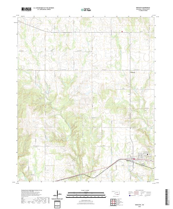 2022 Bokchito2022 Print · USGSBokchito and Bryan County remain deeply tied to the land in this modern survey of Oklahoma's southeastern creek valleys. Researchers can trace family sites near Bokchito Cem or follow the paths of Mail Rider Cr and Caddo Creek through the rural townships.
 - 2022 Map of Caddo NW, 2022 Print
 2022 Caddo NW2022 Print · USGSJohnston County at the start of the 2020s remains a landscape of rolling prairies and winding creeks. Local historians can trace family ties at Oak Grove Cem and Center Hill Cem, or explore the reaches of Twelvemile Prairie.
 - 2022 Map of Bennington North, 2022 Print
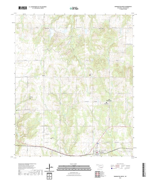 2022 Bennington North2022 Print · USGSBryan County near the turn of the twenty-first century reveals a landscape shaped by Choctaw history and rural settlement. Genealogists can trace family roots at the Armstrong Academy Cem, Impson Cem, and the historic Old Bennington site.
 - 2022 Map of Little City, 2022 Print
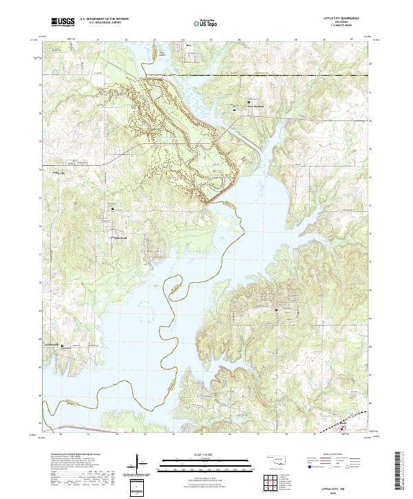 2022 Little City2022 Print · USGSThe northern reaches of Lake Texoma and the historic grounds of Fort Washita are captured here in the early twenty-first century. Genealogists and local historians can trace family locations near Cumberland Cem, the settlement of Little City, and the winding Old Channel Washita River.
 - 2022 Map of Monkstown, 2022 Print
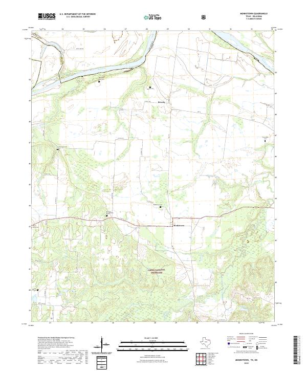 2022 Monkstown2022 Print · USGSFannin County, Texas, and the Oklahoma border are documented here in the early twenty-first century, showing the rural layout along the Red River. Genealogists can locate several family burial grounds including Liberty Cem, Bernethy Bridges Cem, and Friendship Cem.
 - 2022 Map of Direct, 2022 Print
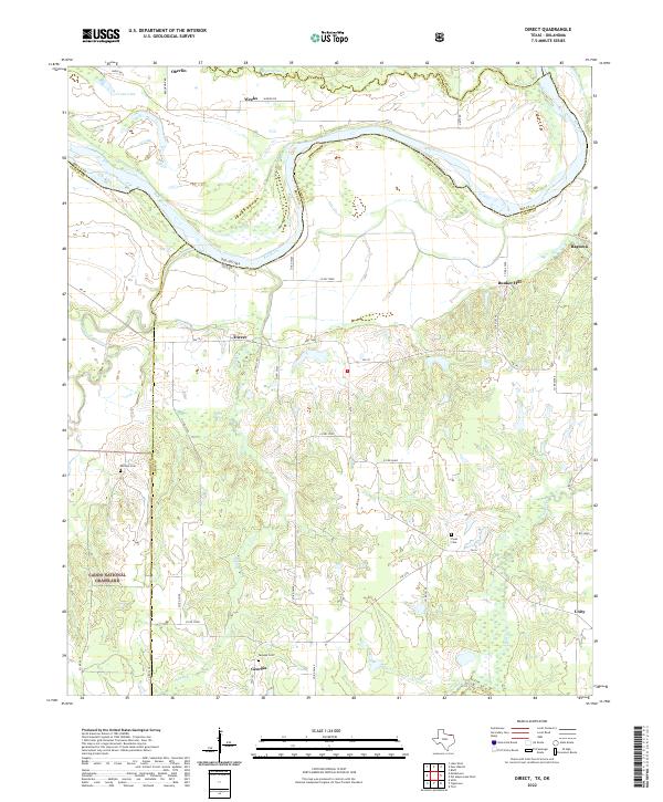 2022 Direct2022 Print · USGSLamar County, Texas, along the winding bends of the Red River is shown here in the modern era. Researchers can locate family landmarks like Whitten Cem or trace rural settlements such as Direct, Georgia, and Ragtown among the creeks and grasslands.
 - 2022 Map of Pottsboro, 2022 Print
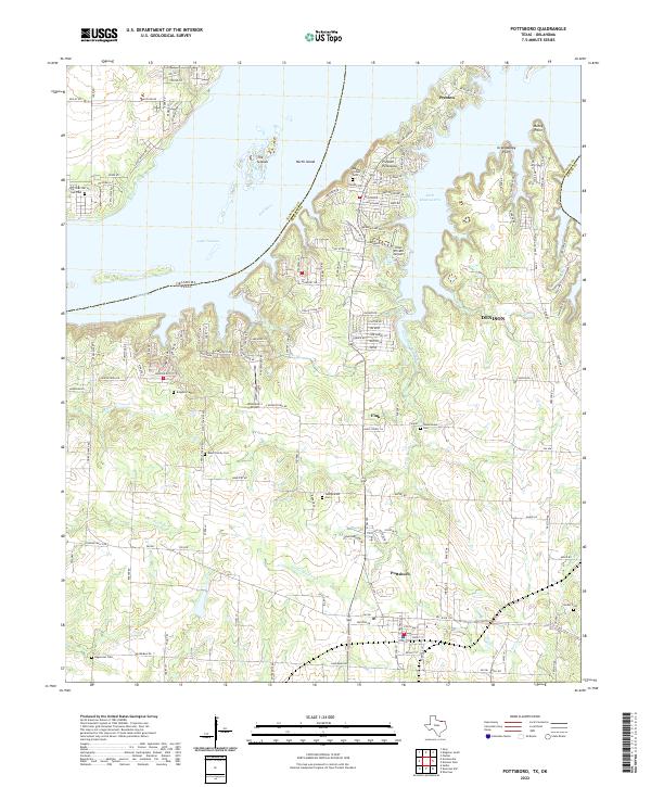 2022 Pottsboro2022 Print · USGSThe southern shores of Lake Texoma come into sharp focus in this modern survey of North Texas and the Oklahoma border. Researchers can trace family sites at Black Family Cem and Hagerman Cem or explore the developed corridors of Pottsboro and Preston.
 - 2022 Map of Ambrose, 2022 Print
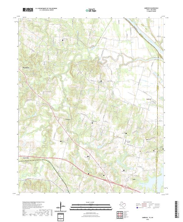 2022 Ambrose2022 Print · USGSGrayson County's agricultural heartland is documented here in the early twenty-first century, bounded by the Red River and the Fannin County line. Researchers can trace numerous family burial sites like Virginia Point Cem and Cherry Mound Cem or locate the Old RR Grade.
 - 2022 Map of Denison Dam, 2022 Print
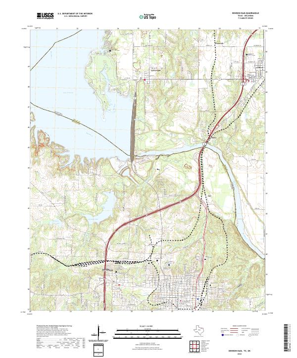 2022 Denison Dam2022 Print · USGSThe Texas-Oklahoma border comes alive in this 2022 study of the Red River corridor and Denison. Genealogists can locate several family landmarks and burial grounds like Yarbrough Cem and Coffman-Layne Cem near the shores of Lake Texoma.
Showing maps 1-25 of 28
Top cities of Bryan County
- Durant historical maps
- Calera historical maps
- Colbert historical maps
- Caddo historical maps
- Bokchito historical maps
- Cartwright historical maps
See more
Frequently asked questions
- What are the different types of historical maps available for Bryan County?
- What is the oldest map of Bryan County?
- Where can I purchase historical maps of Bryan County for my home or office?
- Where can I download high-res historical maps of Bryan County?
- Are there historical topographic maps available for Bryan County?
- Is there historical aerial imagery available for Bryan County?
- Where are historical maps of Bryan County sourced from?