2000s (21st Century) Maps of Bryan County, Oklahoma
Explore 112 historic maps of Bryan County from the 2000s (21st Century). These maps offer a rare glimpse into what life looked like during the 2000s — showing old roads, neighborhoods, homes, and landmarks that have changed or disappeared over time.
Whether you're researching your family's past, planning a metal detecting trip, or studying how Bryan County's landscape evolved across the 2000s, these high-resolution maps are a powerful tool for exploring the history of this region.
- Focus on a specific era: All maps on this page are from the 2000s, giving you a focused view of this time period.
- See what’s changed: Compare century-old streets, trails, and buildings to today's modern landscape using overlays and satellite layers.
- Research with precision: Use these maps for genealogy, historical research, land use analysis, or educational projects.
- View, download, or print: Maps are fully viewable online in high resolution, and can be downloaded or printed for your own records.
Start exploring Bryan County's history through authentic maps from the 2000s. This is your window into the past.
Bryan County, OK maps
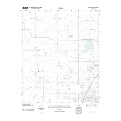
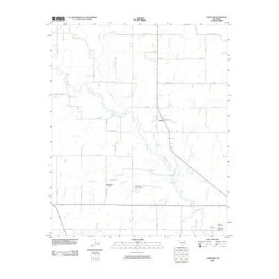
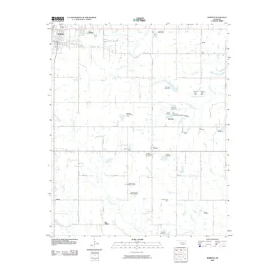
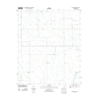
(112)- 2009 Map of Durant South, 2009 Print
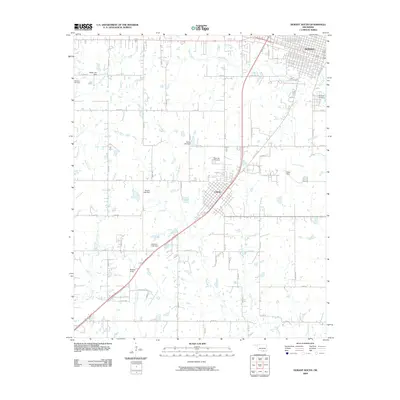 2009 Durant South2009 Print · USGSCovers Bryan County, including Durant, Calera, and other nearby areas
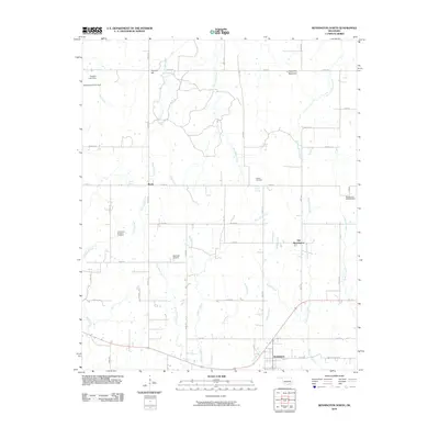
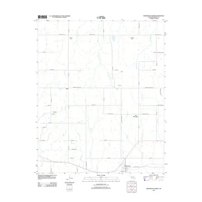
 - 2009 Map of Bennington South, 2009 Print
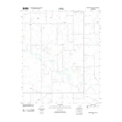 2009 Bennington South2009 Print · USGSCovers Bryan County, including Bennington, Smith-Lee, and other nearby areas
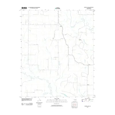
 - 2009 Map of Blue, 2009 Print
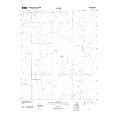 2009 Blue2009 Print · USGSCovers Bryan County, including Blue, Albany, and other nearby areas
 - 2009 Map of Caney, 2009 Print
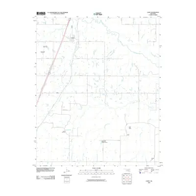 2009 Caney2009 Print · USGSCovers Bryan County, including Caney, Atoka County, and other nearby areas
 - 2009 Map of Durant North, 2009 Print
 2009 Durant North2009 Print · USGSCovers Bryan County, including Durant, Silo, and other nearby areas
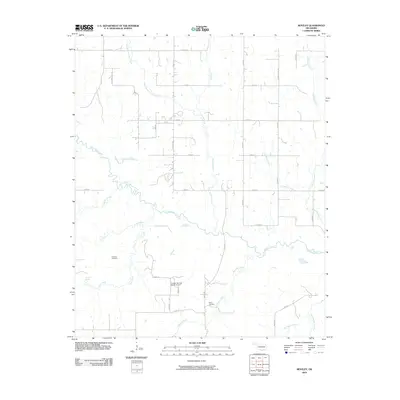
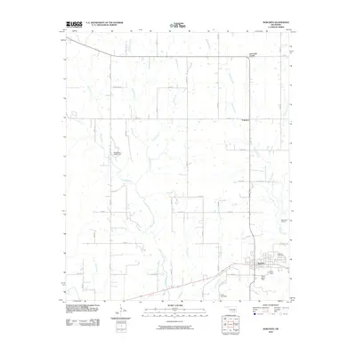
 - 2009 Map of Bentley, 2009 Print
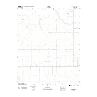
 2009 Bentley2009 Print · USGSCovers Bryan County, including Matoy, Bentley, and other nearby areas
 - 2009 Map of Boswell SW, 2009 Print
 2009 Boswell SW2009 Print · USGSCovers Bryan County, including Boswell, Cade, and other nearby areas
 - 2010 Map of Little City, 2010 Print
 2010 Little City2010 Print · USGSCovers Bryan County, including Mead, Linn, and other nearby areas
 - 2010 Map of Caddo NW, 2010 Print
 2010 Caddo NW2010 Print · USGSCovers Bryan County, including Folsom, Nida, and other nearby areas
 - 2010 Map of Bennington North, 2010 Print
 2010 Bennington North2010 Print · USGSCovers Bryan County, including Bennington, Old Bennington, and other nearby areas
 - 2010 Map of Boswell NW, 2010 Print
 2010 Boswell NW2010 Print · USGSCovers Bryan County, including Crystal, Boehler, and other nearby areas
 - 2010 Map of Bokchito, 2010 Print
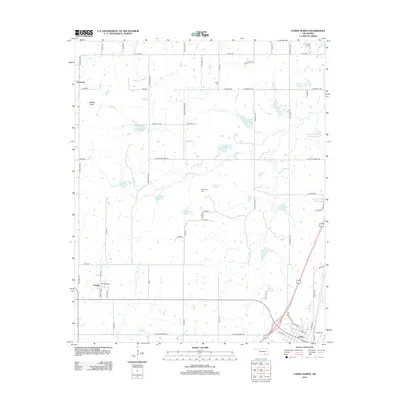
 2010 Bokchito2010 Print · USGSCovers Bryan County, including Bokchito, Pritchard, and other nearby areas
 - 2010 Map of Roberta, 2010 Print
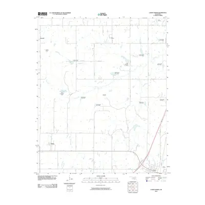
 2010 Roberta2010 Print · USGSCovers Bryan County, including Durant, Old Allison, and other nearby areas
 - 2010 Map of Caddo North, 2010 Print
 2010 Caddo North2010 Print · USGSCovers Bryan County, including Caddo, Kenefic, and other nearby areas
 - 2010 Map of Caddo South, 2010 Print
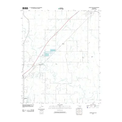 2010 Caddo South2010 Print · USGSCovers Bryan County, including Durant, Caddo, and other nearby areas
 - 2010 Map of New Oberlin, 2010 Print
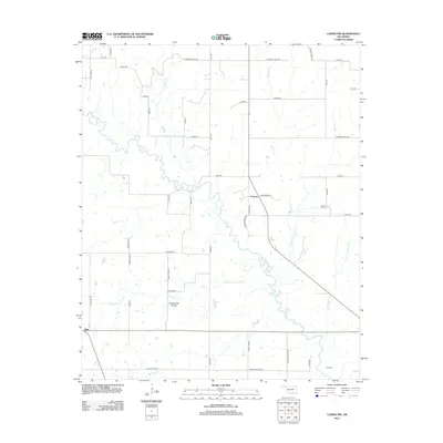
 2010 New Oberlin2010 Print · USGSCovers Bryan County, including New Oberlin, Lamar County, and other nearby areas
 - 2010 Map of Achille, 2010 Print
 2010 Achille2010 Print · USGSCovers Bryan County, including Denison, Colbert, and other nearby areas
 - 2010 Map of Kemp, 2010 Print
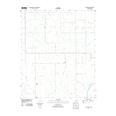
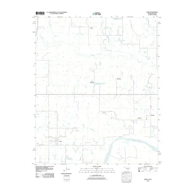 2010 Kemp2010 Print · USGSCovers Bryan County, including Achille, Kemp, and other nearby areas
 - 2010 Map of Lake West, 2010 Print
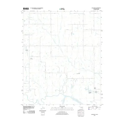 2010 Lake West2010 Print · USGSCovers Bryan County, including Lake West, Fannin County, and other nearby areas
 - 2010 Map of Platter, 2010 Print
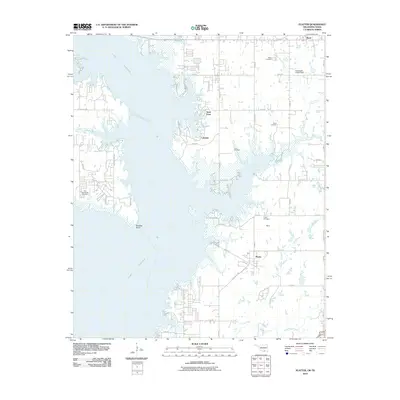 2010 Platter2010 Print · USGSCovers Bryan County, including Mead, Lakeside, and other nearby areas
 - 2010 Map of Yuba, 2010 Print
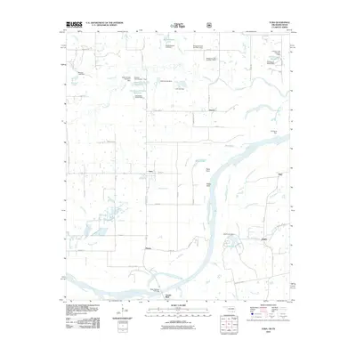 2010 Yuba2010 Print · USGSCovers Bryan County, including Sowells Bluff, Duplex, and other nearby areas
 - 2012 Map of New Oberlin, 2012 Print
 2012 New Oberlin2012 Print · USGSCovers Bryan County, including New Oberlin, Lamar County, and other nearby areas
 - 2012 Map of Caddo North, 2012 Print
 2012 Caddo North2012 Print · USGSCovers Bryan County, including Caddo, Kenefic, and other nearby areas
 - 2012 Map of Caddo NW, 2012 Print
 2012 Caddo NW2012 Print · USGSCovers Bryan County, including Folsom, Nida, and other nearby areas
 - 2012 Map of Bennington North, 2012 Print
 2012 Bennington North2012 Print · USGSCovers Bryan County, including Bennington, Old Bennington, and other nearby areas
Showing maps 1-25 of 112
Top cities of Bryan County
- Durant historical maps
- Calera historical maps
- Colbert historical maps
- Caddo historical maps
- Bokchito historical maps
- Cartwright historical maps
See more
Frequently asked questions
- What are the different types of historical maps available for Bryan County?
- What is the oldest map of Bryan County?
- Where can I purchase historical maps of Bryan County for my home or office?
- Where can I download high-res historical maps of Bryan County?
- Are there historical topographic maps available for Bryan County?
- Is there historical aerial imagery available for Bryan County?
- Where are historical maps of Bryan County sourced from?