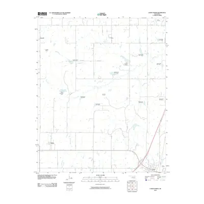
2010 Map of Caddo North
USGS Topo · Published 2010About this map
Caddo and Kenefic anchor this landscape in Bryan County, Oklahoma, where the water management of the Caney Creek watershed is a defining characteristic. Numerous flood control structures, including the Caney Creek Site 9 Reservoir and a series of dams numbered from three to fourteen, illustrate the region's managed hydrology. For those tracing family histories, the map identifies several distinct burial sites including the Indian Cemetery, Maytubby Cemetery, and Perkins Cemetery. The presence of Maytubby Springs and the naming of Buffalo Creek and Buffalo Head point to the area's natural water sources and local landmarks. The southern edge of the survey captures the street grid of northern Caddo, while the surrounding rural areas are organized by a network of sectional roads like Buffalo Rd and Caddo Hwy, and unique local crossings like Nails Xing.
Find a feature on this map
48 named features on this map. Tap any name to fly to it.
Don’t see what you’re looking for? This feature index may not catch every label — zoom into the map to look around manually.
Map Details
Editions of this 2010 Caddo North Map
This is the sole edition of this map. No revisions or reprints were ever made.
Other maps of this area

1899 · Atoka
USGS Topo · 1:125,000

1900 · Atoka
USGS Topo · 1:125,000

1957 · Ardmore
USGS Topo · 1:250,000

1963 · Ardmore
USGS Topo · 1:250,000
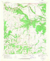
1968 · Wapanucka South
USGS Topo · 1:24,000

1968 · Caddo NW
USGS Topo · 1:24,000
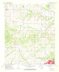
1968 · Durant North
USGS Topo · 1:24,000
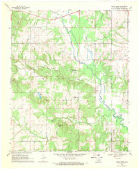
1969 · Boggy Depot
USGS Topo · 1:24,000

1969 · Caddo North
USGS Topo · 1:24,000

1969 · Bokchito
USGS Topo · 1:24,000