2010s Maps of Bryan County, Oklahoma
Explore 105 historic maps of Bryan County from the 2010s. These maps offer a rare glimpse into what life looked like during the 2010s — showing old roads, neighborhoods, homes, and landmarks that have changed or disappeared over time.
Whether you're researching your family's past, planning a metal detecting trip, or studying how Bryan County's landscape evolved across the 2010s, these high-resolution maps are a powerful tool for exploring the history of this region.
- Focus on a specific era: All maps on this page are from the 2010s, giving you a focused view of this time period.
- See what’s changed: Compare century-old streets, trails, and buildings to today's modern landscape using overlays and satellite layers.
- Research with precision: Use these maps for genealogy, historical research, land use analysis, or educational projects.
- View, download, or print: Maps are fully viewable online in high resolution, and can be downloaded or printed for your own records.
Start exploring Bryan County's history through authentic maps from the 2010s. This is your window into the past.
Bryan County, OK maps
(105)- 2010 Map of Little City, 2010 Print
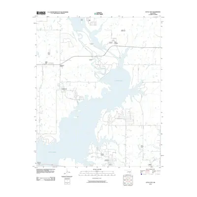 2010 Little City2010 Print · USGSThe northern shores of Lake Texoma are captured here in the early twenty-first century, showcasing a blend of frontier history and modern energy production. Researchers can locate Fort Washita and its associated Confederate Cemetery, or trace the extent of the Cumberland Oil Field.
 - 2010 Map of Caddo NW, 2010 Print
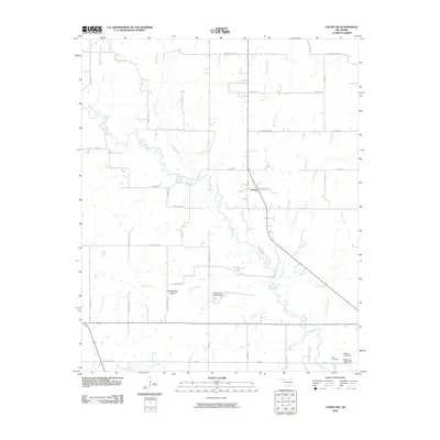 2010 Caddo NW2010 Print · USGSFolsom and the surrounding Twelvemile Prairie are captured in this study of Johnston County during the early twenty-first century. Researchers can locate family landmarks such as the Nail Cemetery and trace the many branches of the Blue River and Horse Creek.
 - 2010 Map of Bennington North, 2010 Print
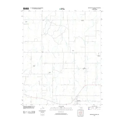 2010 Bennington North2010 Print · USGSBryan County settlements and rural cemeteries are captured in this 2010 survey of the Oklahoma plains. Researchers can locate the Armstrong Academy Cemetery, follow Dancing Rabbit Creek, or trace the old roads around Banty and Old Bennington.
 - 2010 Map of Boswell NW, 2010 Print
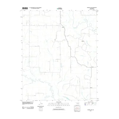 2010 Boswell NW2010 Print · USGSThe rural landscape of Atoka County is documented here in the early twenty-first century, showing a region deeply tied to its watercourses. Genealogists and local historians can trace family locations near Crystal, Boehler, or the Crystal Cemetery while following the winding banks of Muddy Boggy Creek.
 - 2010 Map of Bokchito, 2010 Print
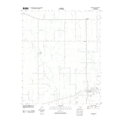 2010 Bokchito2010 Print · USGSBryan County at the start of the 2010s shows a landscape of steady rural growth and established homesteads. Genealogists and local historians can trace family-named sites such as Frank Ranch Field or locate burials at the Bokchito Cemetery.
 - 2010 Map of Roberta, 2010 Print
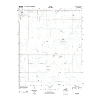 2010 Roberta2010 Print · USGSSoutheast of the city of Durant in the early 2000s, this area shows a landscape of small-town settlements and prairie creek systems. Genealogists and historians can trace local family landmarks and community sites like Pirtle School, Pioneer Cemetery, and Old Allison.
 - 2010 Map of Caddo North, 2010 Print
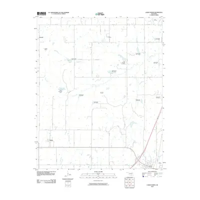 2010 Caddo North2010 Print · USGSBryan County at the start of the decade reveals a rural Oklahoma landscape shaped by the Caney Creek watershed. Genealogists and local historians can locate early burial grounds such as Indian Cemetery and Maytubby Cemetery or trace landmarks like Nails Xing.
 - 2010 Map of Caddo South, 2010 Print
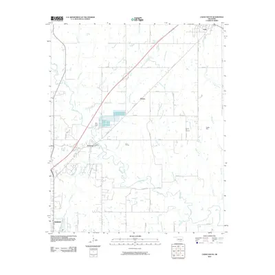 2010 Caddo South2010 Print · USGSBryan County at the turn of the decade shows the essential water networks and rural communities north of the regional hub. Genealogists and historians can locate family sites near Brown Cemetery, the Blue River Dam, and the town of Wasseta.
 - 2010 Map of Mulberry, 2010 Print
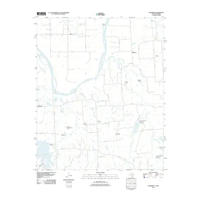 2010 Mulberry2010 Print · USGSThe Red River valley north of Bonham comes into focus during the early twenty-first century, showing a landscape defined by cattle ranching and conservation dams. Genealogists can trace family roots through several local burial grounds, including Bradford, Fairview, and Mount Zion.
 - 2010 Map of Ambrose, 2010 Print
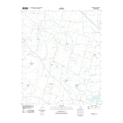 2010 Ambrose2010 Print · USGSGrayson County's rural landscape comes into focus here during the early twenty-first century, showing the lands south of the Red River. Genealogists can locate family burial sites at Cherry Mound Cemetery and Bush Cemetery or trace the early foundations of Ambrose and Penland.
 - 2010 Map of New Oberlin, 2010 Print
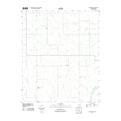 2010 New Oberlin2010 Print · USGSThe Red River borderlands of Choctaw County are captured here in the early twenty-first century as agricultural traditions endure. Family researchers and historians can locate Crowder Cemetery, the site at Garretts Bluff, and the small settlements of Oberlin and New Oberlin.
 - 2010 Map of Pottsboro, 2010 Print
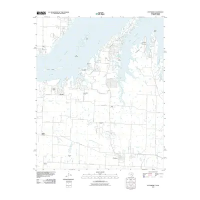 2010 Pottsboro2010 Print · USGSThe Texas-Oklahoma borderlands around Lake Texoma are captured here in the early twenty-first century as recreation and aviation define the shoreline. Researchers can trace the heritage of Pottsboro and local burial grounds like Hagerman Cemetery or find old river crossings at Henderson Ferry.
 - 2010 Map of Achille, 2010 Print
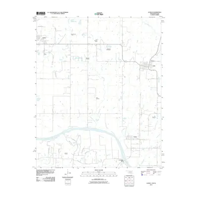 2010 Achille2010 Print · USGSThe Red River borderlands of Oklahoma and Texas appear here in the early twenty-first century, centered on the community of Achille. Genealogists can trace family sites at Colbert Cemetery and Langford Cemetery or locate the river crossing at Carpenters Bluff.
 - 2010 Map of Kemp, 2010 Print
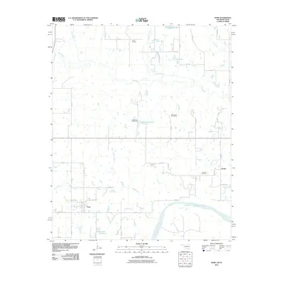 2010 Kemp2010 Print · USGSThe Oklahoma-Texas borderlands come into focus in this study of the rural Bryan County landscape during the early 2010s. Researchers can trace family history through sites like Burney Cemetery and the settlement of Yarnaby, or follow the winding Red River and Island Bayou.
 - 2010 Map of Denison Dam, 2010 Print
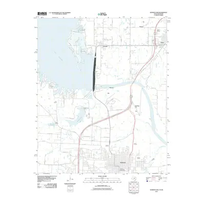 2010 Denison Dam2010 Print · USGSThe Texas-Oklahoma borderlands around the turn of the 21st century center on the massive engineering of the Denison Dam. Researchers can trace the layout of the Denison Commercial Historic District or locate family sites at Oakwood Cemetery and Yarbrough Cemetery.
 - 2010 Map of Lake West, 2010 Print
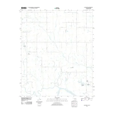 2010 Lake West2010 Print · USGSThe borderlands of Bryan County meet the Texas line in this modern survey of the Red River valley. Genealogists and local historians can trace family land along Lake West Rd or find local landmarks like Page Lake and the Lewis Eastwood Dam.
 - 2010 Map of Platter, 2010 Print
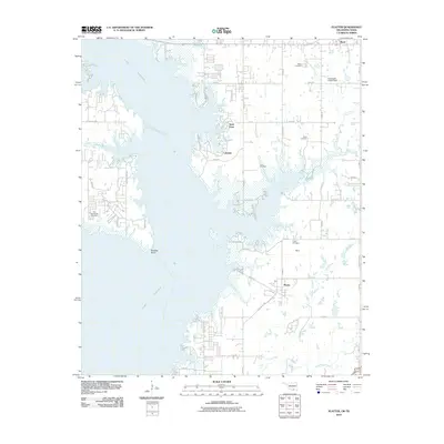 2010 Platter2010 Print · USGSBryan County and the eastern shores of Lake Texoma are captured here during the first decade of the millennium. Local history researchers can trace the locations of numerous family and community burial sites, including Old Woodville Cemetery, Love Cemetery, and Platter Cemetery.
 - 2010 Map of Direct, 2010 Print
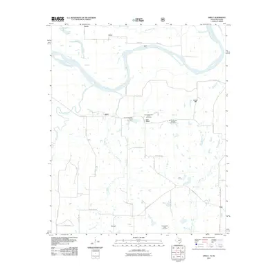 2010 Direct2010 Print · USGSThe Texas-Oklahoma borderlands along the Red River are captured here in the early 2000s, showing a landscape of river crossings and rural hamlets. Researchers can locate the historic Oberlin Ferry, trace the grounds of Pyles Cemetery, and explore the small communities of Direct and Georgia.
 - 2010 Map of Monkstown, 2010 Print
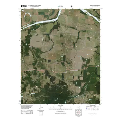 2010 Monkstown2010 Print · USGSThis rural portion of Fannin County on the Oklahoma border shows a landscape shaped by the Red River and its many tributaries. Genealogists and historians can trace family ties at the Arch Chapel Cemetery or explore the small communities of Monkstown and Riverby.
 - 2010 Map of Telephone, 2010 Print
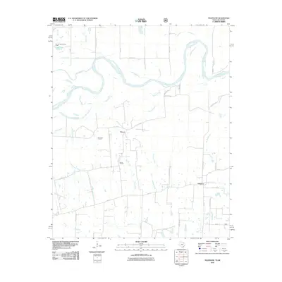 2010 Telephone2010 Print · USGSThe Red River borderlands of Fannin County appear here in a recent era of rural Texas life, showing the winding Red River and the quiet settlements of Elwood and Telephone. Genealogists can trace family roots at Old Elwood Cemetery or follow the many named watercourses like Island Bayou and Robert Springs Branch.
 - 2010 Map of Yuba, 2010 Print
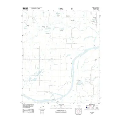 2010 Yuba2010 Print · USGSThe Red River border between Oklahoma and Texas comes alive in this study of rural settlements and waterways. Researchers can trace family roots near Yuba, Karma, and Romia or explore the many small reservoirs like Mitchell Lake.
 - 2012 Map of New Oberlin, 2012 Print
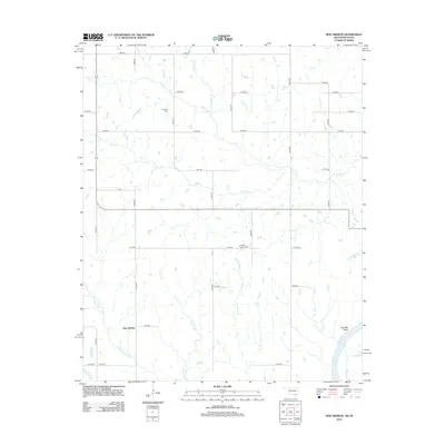 2012 New Oberlin2012 Print · USGSChoctaw County on the Texas border remains a landscape of quiet creek valleys and rural section lines in the early 2010s. Trace local family roots and historical burial sites at Crowder Cem and Crowder Springs Cem near New Oberlin.
 - 2012 Map of Caddo North, 2012 Print
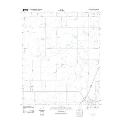 2012 Caddo North2012 Print · USGSBryan County at the start of the 2010s shows a landscape transformed by water management and rural settlement. Researchers can trace family history at Maytubby Cem or Indian Cem, and explore the areas surrounding Kenefic and Buffalo Head.
 - 2012 Map of Caddo NW, 2012 Print
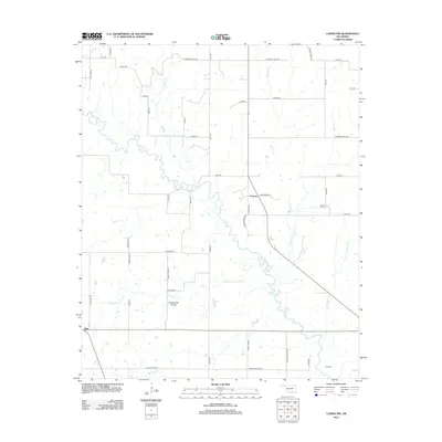 2012 Caddo NW2012 Print · USGSOklahoma's southern plains come into focus in the early 21st century as the Blue River winds through Johnston County. Researchers can trace rural life and family history through landmarks like Folsom, Nida, and the Center Hill Cem.
 - 2012 Map of Bennington North, 2012 Print
 2012 Bennington North2012 Print · USGSNorthern Bryan County is captured here in the early twenty-first century, documenting a rural landscape centered on historical crossroad communities. Family historians can locate specific sites like Armstrong Acad Cem and Wilson Cem near the quiet settlements of Banty and Old Bennington.
Showing maps 1-25 of 105
Top cities of Bryan County
- Durant historical maps
- Calera historical maps
- Colbert historical maps
- Caddo historical maps
- Bokchito historical maps
- Cartwright historical maps
See more
Frequently asked questions
- What are the different types of historical maps available for Bryan County?
- What is the oldest map of Bryan County?
- Where can I purchase historical maps of Bryan County for my home or office?
- Where can I download high-res historical maps of Bryan County?
- Are there historical topographic maps available for Bryan County?
- Is there historical aerial imagery available for Bryan County?
- Where are historical maps of Bryan County sourced from?