2020s Maps of Choctaw County, Oklahoma
Explore 24 historic maps of Choctaw County from the 2020s. These maps offer a rare glimpse into what life looked like during the 2020s — showing old roads, neighborhoods, homes, and landmarks that have changed or disappeared over time.
Whether you're researching your family's past, planning a metal detecting trip, or studying how Choctaw County's landscape evolved across the 2020s, these high-resolution maps are a powerful tool for exploring the history of this region.
- Focus on a specific era: All maps on this page are from the 2020s, giving you a focused view of this time period.
- See what’s changed: Compare century-old streets, trails, and buildings to today's modern landscape using overlays and satellite layers.
- Research with precision: Use these maps for genealogy, historical research, land use analysis, or educational projects.
- View, download, or print: Maps are fully viewable online in high resolution, and can be downloaded or printed for your own records.
Start exploring Choctaw County's history through authentic maps from the 2020s. This is your window into the past.
Choctaw County, OK maps
(24)- 2022 Map of Grant, 2022 Print
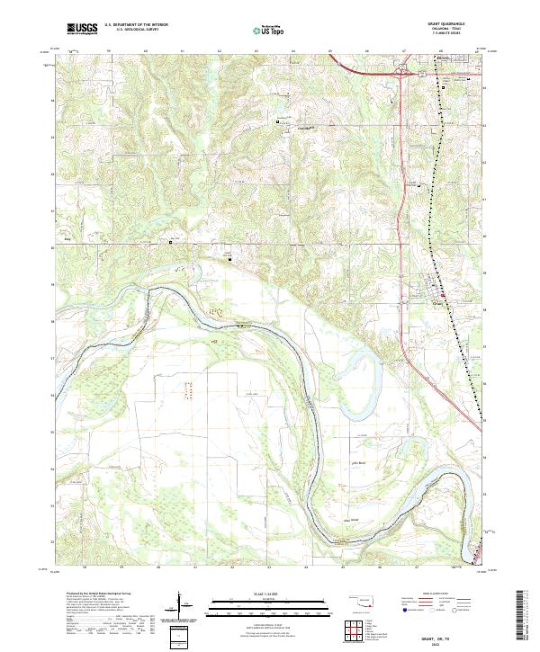 2022 Grant2022 Print · USGSThe Oklahoma-Texas borderlands come to life in this survey of Choctaw County, showing a landscape shaped by the winding Red River. Genealogists can trace several family and community burial sites including Springs Family Cemetery and Sweet Hill Cemetery.
 - 2022 Map of Frogville, 2022 Print
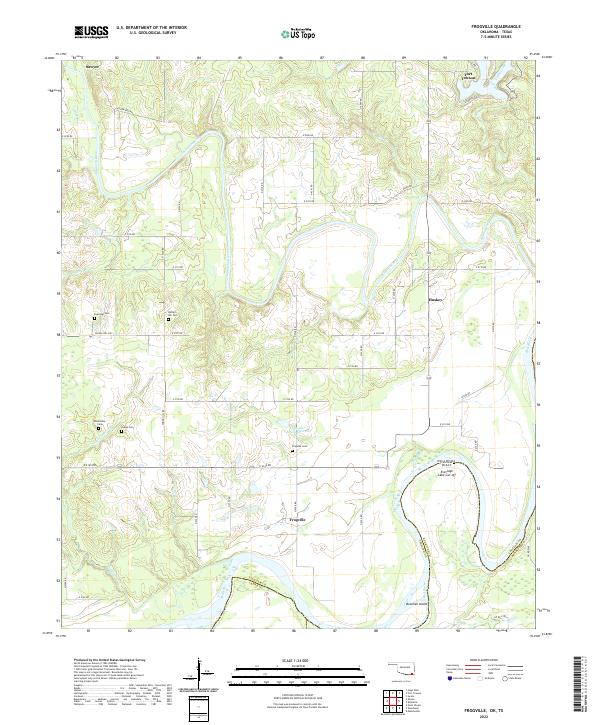 2022 Frogville2022 Print · USGSChoctaw County, Oklahoma, is documented here at the confluence of the Kiamichi and Red Rivers. Genealogists and local historians can trace family locations near Frogville, Huskey, and several rural burial grounds including Everidge Cem and Spring Hill Cem.
 - 2022 Map of Bluff, 2022 Print
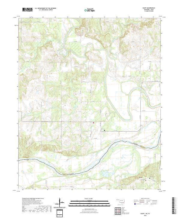 2022 Bluff2022 Print · USGSThe borderlands of Oklahoma and Texas are documented here in the early twenty-first century as the Red River meanders through the southern floodplains. Researchers can trace family history at Bluff Cem and Macedonia Cem or explore the rural landscape around Razor.
 - 2022 Map of New Oberlin, 2022 Print
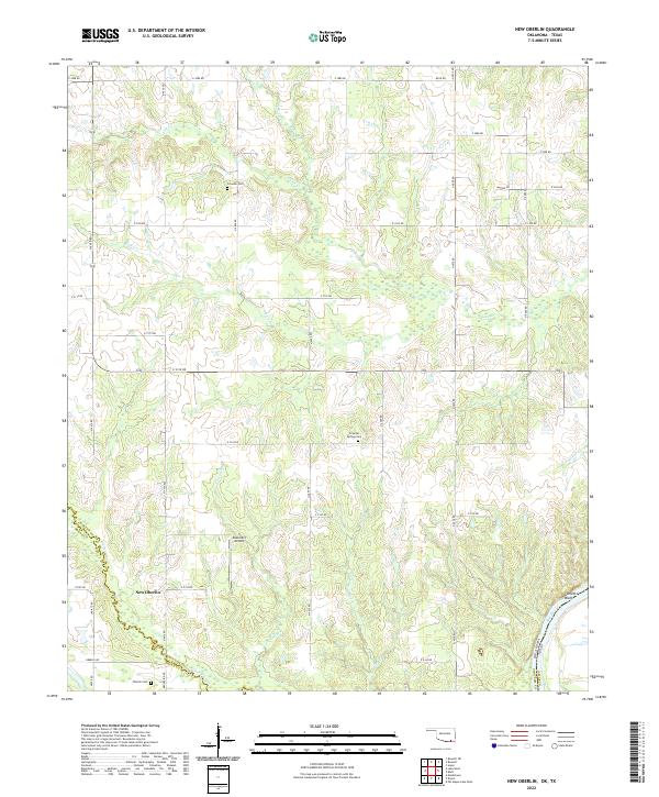 2022 New Oberlin2022 Print · USGSChoctaw County at the Texas border is documented here in the early twenty-first century as the Red River snakes along the state line. Researchers can locate family landmarks such as Oberlin Cem, the settlement of New Oberlin, and Garretts Bluff.
 - 2022 Map of Shoals, 2022 Print
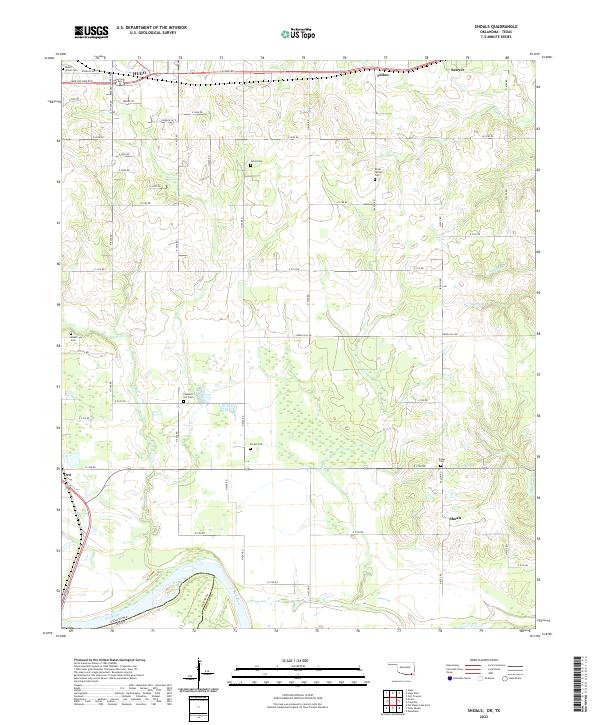 2022 Shoals2022 Print · USGSChoctaw County at the Texas border shows a rural landscape where the Red River meets a dense network of family-named cemeteries. Trace local history through sites like Pleasant Hill Cem and Grant Cem or the small settlement at Shoals.
 - 2022 Map of Lake West, 2022 Print
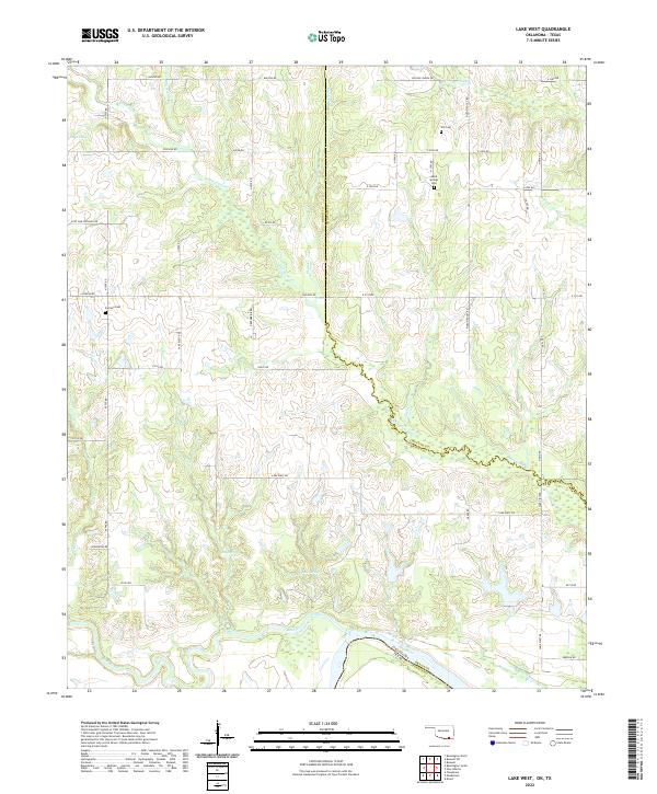 2022 Lake West2022 Print · USGSBryan County, Oklahoma, meets the Texas border in this detailed topographic survey. Genealogists can trace family landmarks like Good Springs Cemetery, Jackson Cemetery, and natural landmarks such as Siby Spring and the Blue River.
 - 2022 Map of Fort Towson, 2022 Print
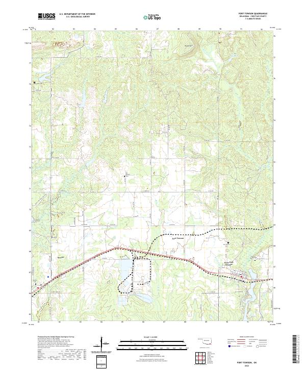 2022 Fort Towson2022 Print · USGSChoctaw County at the turn of the 2020s shows a landscape of long-standing rural communities and historic burial grounds. Genealogists and local historians can trace family locations through sites like Old Fort Towson Cem, Schooler Cem, and the settlement at Sawyer.
 - 2022 Map of Soper, 2022 Print
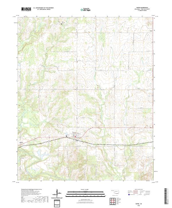 2022 Soper2022 Print · USGSChoctaw County at the start of the 2020s shows a landscape of creek-fed bottomlands and established small-town grids. Genealogists and local historians can trace family locations near Soper Cem, Kent, and the banks of Muddy Boggy Creek.
 - 2022 Map of Boswell SW, 2022 Print
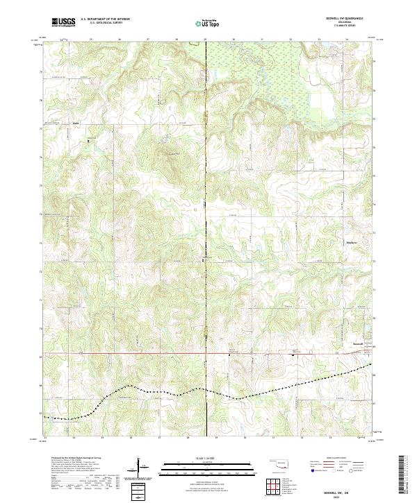 2022 Boswell SW2022 Print · USGSChoctaw County at the turn of the 2020s remains a landscape of quiet creek bottoms and rural crossroads settlements. Genealogists can trace family heritage through the sites of Homer's Chapel Cemetery, Pigeon Roost Cemetery, and the community of Mayhew.
 - 2022 Map of Boswell, 2022 Print
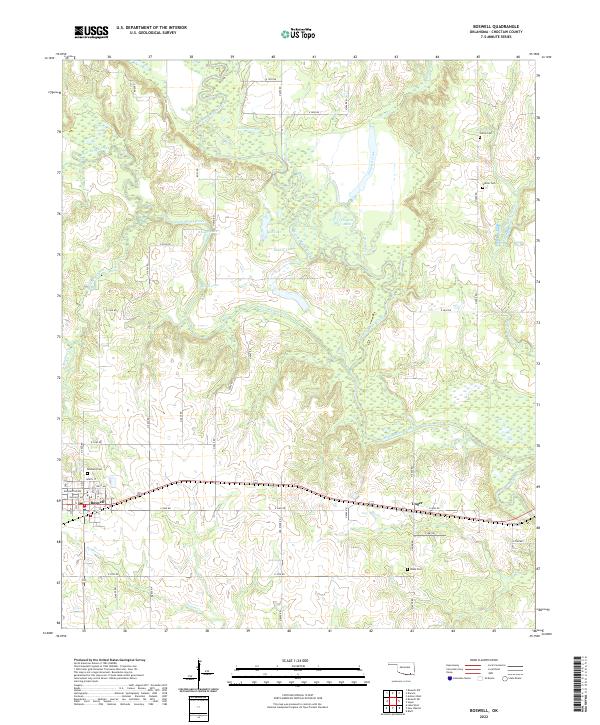 2022 Boswell2022 Print · USGSThe Choctaw County plains come to life in this survey of the area around Boswell and Unger. Researchers can trace rural lineages through family landmarks like Pierce Cem and Wade Cem or follow the winding Muddy Boggy Creek.
 - 2022 Map of Spencerville, 2022 Print
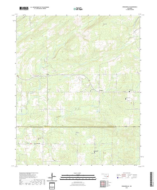 2022 Spencerville2022 Print · USGSPushmataha County is documented here in the early twenty-first century, showing the rural homesteads and creek-cut valleys south of the Kiamichi Mountains. Genealogists can locate several remote burial grounds, including Black Jack Indian Cem, Goodwater Cem, and Corinne Cem.
 - 2022 Map of Darwin, 2022 Print
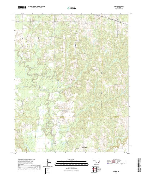 2022 Darwin2022 Print · USGSSoutheastern Oklahoma’s creek-bottom lands are captured here in the early twenty-first century, centered on the intersection of Atoka and Pushmataha counties. Genealogists can locate the Darwin Cem and trace the winding course of Muddy Boggy Creek through local settlements like Old Farris and Lone Pine.
 - 2022 Map of Antlers West, 2022 Print
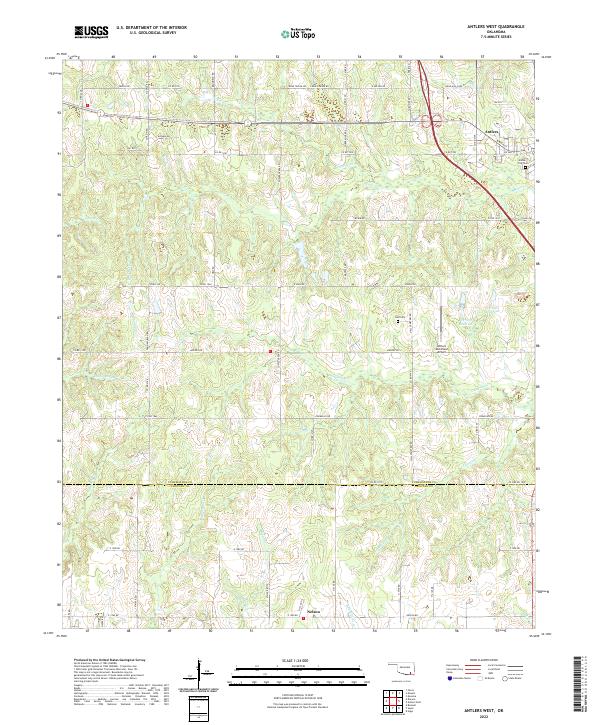 2022 Antlers West2022 Print · USGSPushmataha County's timber and ranch lands are mapped here in the modern era, centered on the western expansion of the county seat. Genealogists and local historians can trace family sites near Antlers City Cem, Hall Cem, and the southern settlement of Nelson.
 - 2022 Map of Swink, 2022 Print
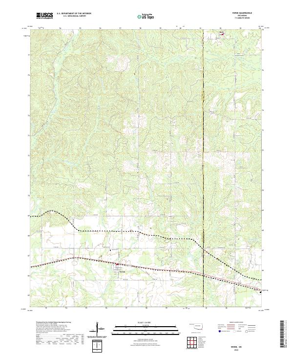 2022 Swink2022 Print · USGSSoutheastern Oklahoma's creek-carved landscape is documented here in the early twenty-first century, centered on the community of Swink. Researchers can trace local lineage at the Swink Cem or follow the paths of Doaksville Cr and the historical Tram Rd.
 - 2022 Map of Boswell NW, 2022 Print
 2022 Boswell NW2022 Print · USGSSouthern Oklahoma at the border of Atoka, Bryan, and Choctaw counties remains a landscape of quiet rural settlements and winding waterways. Researchers can trace ancestral connections at Crystal Cem and Farris Cem or locate the small communities of Crystal and Boehler.
 - 2022 Map of Rattan, 2022 Print
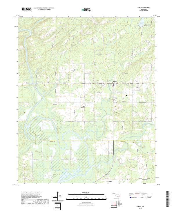 2022 Rattan2022 Print · USGSThe Kiamichi River valley in Pushmataha County remains a landscape of quiet rural settlements and winding timber trails. Genealogists can trace family names at the Belzoni Cem and Rattan Cem or locate the site of Apple near the Choctaw County line.
 - 2022 Map of Sobol, 2022 Print
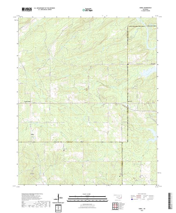 2022 Sobol2022 Print · USGSSoutheast Oklahoma's rural landscape is captured here in the early twenty-first century at the intersection of three counties. Genealogists and local historians can locate several family burial grounds including Sobol Cem and Ringold Cem, along with the small settlement of Burwell.
 - 2022 Map of Antlers East, 2022 Print
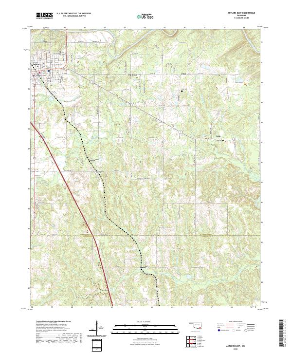 2022 Antlers East2022 Print · USGSPushmataha County is documented here in the early twenty-first century as the landscape transitions from the town of Antlers to rural outposts. Researchers can trace local history through sites like the Pushmataha County Courthouse, Odd Fellows Cem, and the quiet community of Dela.
 - 2022 Map of Hugo Dam, 2022 Print
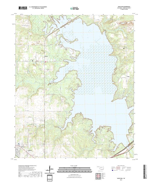 2022 Hugo Dam2022 Print · USGSChoctaw County is centered on the massive reservoir of the Kiamichi River during the early twenty-first century. Researchers can locate family landmarks like Dixon Chapel Cem, the settlement of Messer, and the streets of Hugo.
 - 2022 Map of Hugo, 2022 Print
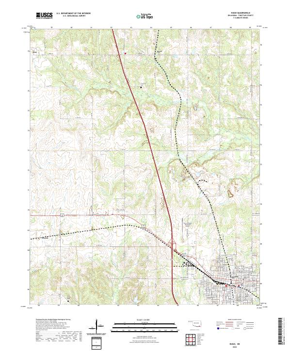 2022 Hugo2022 Print · USGSHugo and the surrounding Choctaw County plains appear in this recent survey of Oklahoma’s Red River valley region. Researchers can trace family roots through the Cooksville Cem and Cold Springs Cem or locate the historic County Courthouse at the heart of the community.
 - 2022 Map of Kiomatia, 2022 Print
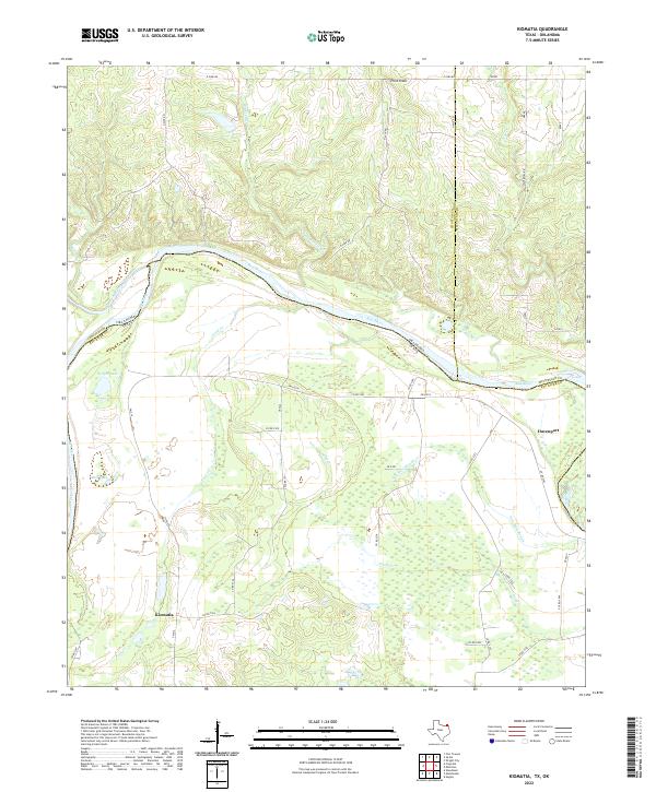 2022 Kiomatia2022 Print · USGSThe Texas-Oklahoma borderlands come into focus in this study of the Red River valley during the early twenty-first century. Genealogists and local historians can trace the rural infrastructure around Kiomatia and Davenport, including landmarks like Wright Lake and Salt Well Slough.
 - 2022 Map of Woodland, 2022 Print
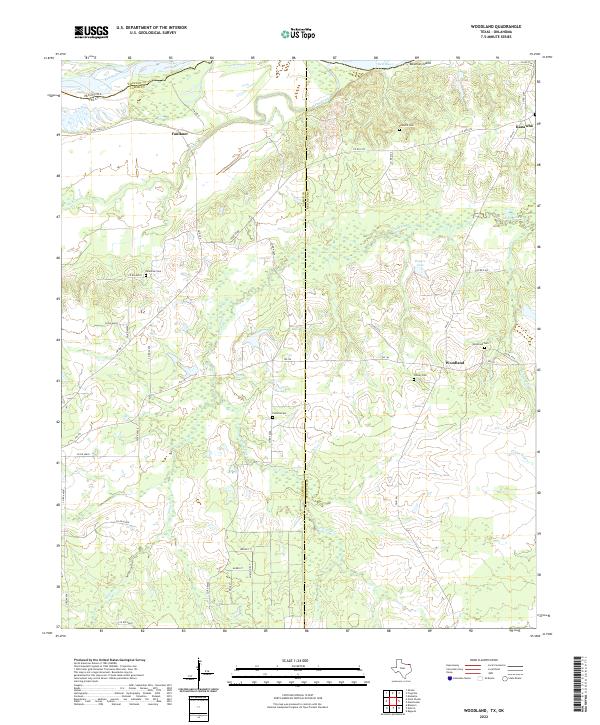 2022 Woodland2022 Print · USGSNortheast Texas at the Oklahoma border comes into focus on this recent survey of the rural Red River valley. Researchers can trace family history through numerous local sites like Palestine Cem, Pinhook Cem, and the old settlement at Woodland.
 - 2022 Map of Slate Shoals, 2022 Print
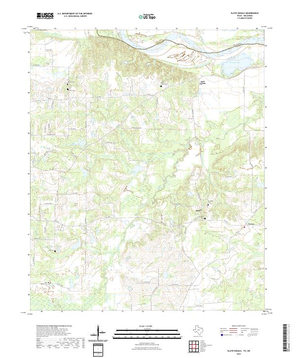 2022 Slate Shoals2022 Print · USGSLamar County, Texas, is documented here in the early twenty-first century along the winding Red River border. Genealogists can locate several rural burial sites such as Springhill Cem and New Bethel Cem near the settlements of Medill and Novice.
 - 2022 Map of Direct, 2022 Print
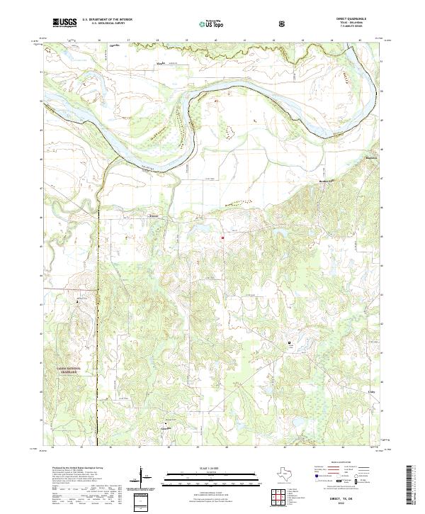 2022 Direct2022 Print · USGSLamar County, Texas, along the winding bends of the Red River is shown here in the modern era. Researchers can locate family landmarks like Whitten Cem or trace rural settlements such as Direct, Georgia, and Ragtown among the creeks and grasslands.
End of results
Showing maps 1-24 of 24
Top cities of Choctaw County
- Hugo historical maps
- Boswell historical maps
- Fort Towson historical maps
- Sawyer historical maps
- Soper historical maps
- Grant historical maps
Frequently asked questions
- What are the different types of historical maps available for Choctaw County?
- What is the oldest map of Choctaw County?
- Where can I purchase historical maps of Choctaw County for my home or office?
- Where can I download high-res historical maps of Choctaw County?
- Are there historical topographic maps available for Choctaw County?
- Is there historical aerial imagery available for Choctaw County?
- Where are historical maps of Choctaw County sourced from?