1970s Maps of Cimarron County, Oklahoma
Explore 22 historic maps of Cimarron County from the 1970s. These maps offer a rare glimpse into what life looked like during the 1970s — showing old roads, neighborhoods, homes, and landmarks that have changed or disappeared over time.
Whether you're researching your family's past, planning a metal detecting trip, or studying how Cimarron County's landscape evolved across the 1970s, these high-resolution maps are a powerful tool for exploring the history of this region.
- Focus on a specific era: All maps on this page are from the 1970s, giving you a focused view of this time period.
- See what’s changed: Compare century-old streets, trails, and buildings to today's modern landscape using overlays and satellite layers.
- Research with precision: Use these maps for genealogy, historical research, land use analysis, or educational projects.
- View, download, or print: Maps are fully viewable online in high resolution, and can be downloaded or printed for your own records.
Start exploring Cimarron County's history through authentic maps from the 1970s. This is your window into the past.
Cimarron County, OK maps
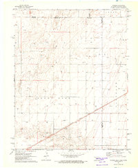
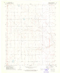
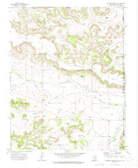
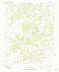
(22)- 1971 Map of Griggs SW, 1973 Print
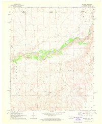
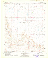 1971 Griggs SW1973 Print · USGSThe Oklahoma-Texas borderlands are captured here in the early seventies as the High Plains drop into the river breaks. Researchers can locate the Marella Cem, trace the Beaver River, and find the rural Plainview Sch near active Oil Fields.
 - 1971 Map of Griggs NE, 1973 Print
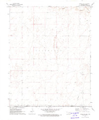
 1971 Griggs NE1973 Print · USGSThe Oklahoma Panhandle in the early seventies shows a landscape of cattle ranching and early energy development. Researchers can find family burial sites at Hutsell Cem and trace the paths of Tepee Creek and Sand Creek through the open plains.
 - 1971 Map of Griggs, 1973 Print
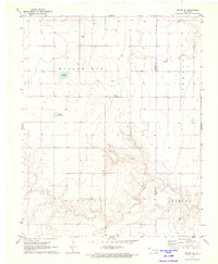
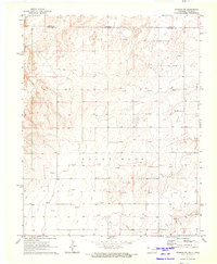
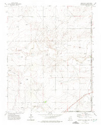
 1971 Griggs1973 Print · USGSThe Oklahoma Panhandle is captured here in the early seventies, centered on the small community of Griggs. Researchers can trace the industrial footprint of the Marella Oil and Gas Field and the complex border between Cimarron and Texas counties.
 - 1971 Map of Keyes SW, 1973 Print
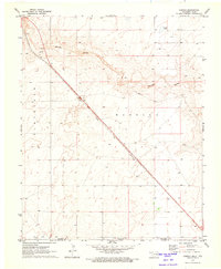
 1971 Keyes SW1973 Print · USGSThe Oklahoma Panhandle is shown in the early seventies, dominated by the route of the Atchison Topeka and Santa Fe railroad. Genealogists can trace family lands across Garrett and Cleveland by locating the numerous Wells and the path of French Draw.
 - 1971 Map of Sturgis, 1973 Print
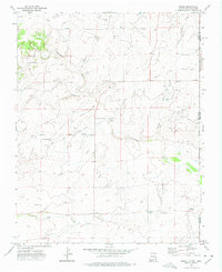
 1971 Sturgis1973 Print · USGSThe Oklahoma Panhandle in the early seventies centers on the rail-side community of Sturgis and the surrounding energy fields. Local researchers can trace the Atchison Topeka and Santa Fe railroad corridor past Goff and the local Roadside Park.
 - 1971 Map of Keyes West, 1973 Print
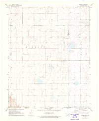
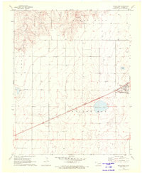 1971 Keyes West1973 Print · USGSCimarron County at the start of the 1970s shows a landscape defined by the intersection of the Atchison Topeka and Santa Fe and the Beaver Meade and Englewood railroads. Genealogists can trace the Willow Bar Cem and the settlement of Keyes alongside prominent landmarks like Castor Lake.
 - 1971 Map of Hopkins, 1973 Print
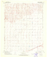
 1971 Hopkins1973 Print · USGSThe Oklahoma Panhandle in the early seventies shows a landscape shaped by energy production and rail. Trace the rail corridor of the Beaver Meade and Englewood near Hopkins and the extent of the Carthage Oil and Gas Field.2 unique versions available
 - 1971 Map of Keyes NW, 1973 Print
 1971 Keyes NW1973 Print · USGSThe Oklahoma-Colorado borderlands are captured here in the early seventies, dominated by the winding Cimarron River. History enthusiasts can trace the diagonal path of the Santa Fe Trail and locate regional landmarks like the Garrett terrain and Flagg Springs Draw.
 - 1971 Map of Keyes NE, 1973 Print
 1971 Keyes NE1973 Print · USGSThe Oklahoma Panhandle and Colorado border are captured here in the early seventies, showing the intersection of historic transit and modern utility. Trace the iconic Santa Fe Trail as it runs south of the Cimarron River near Sandy Hook.
 - 1971 Map of Sampsel Lake, 1973 Print
 1971 Sampsel Lake1973 Print · USGSThe Oklahoma panhandle's high plains come into focus in the early seventies, showcasing a landscape defined by ranching and resource extraction. Researchers can trace the section-line grids and find specific landmarks like Sampsel Lake, Willow Bar, and the area of Marella.
 - 1971 Map of Conrad NW, 1973 Print
 1971 Conrad NW1973 Print · USGSThe High Plains of the Oklahoma Panhandle are captured here in the early seventies, showing the vital Atchison Topeka and Santa Fe rail line and the Beaver River. Researchers can locate the Garlington Cem and trace rural infrastructure like the Feed Lot and early highway stops.
 - 1971 Map of Keyes East, 1973 Print
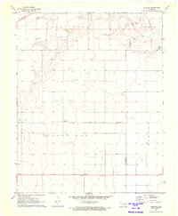
 1971 Keyes East1973 Print · USGSCimarron County's high plains reveal a landscape of energy and industry in the 1970s. Researchers can trace the rail-side growth of Keyes, the operations at the Keyes Helium Plant, and the vast network of Gas Wells across Willowbar.
 - 1971 Map of Griggs NW, 1973 Print
 1971 Griggs NW1973 Print · USGSCimarron County's high plains are captured here in the early seventies, showcasing a landscape defined by ranching and the emerging energy sector. Genealogists and local historians can locate the Marella Ch, Marella Cem, and traces of Sand Creek.
 - 1971 Map of Conrad SW, 1973 Print
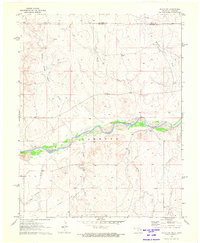
 1971 Conrad SW1973 Print · USGSThe Oklahoma-Texas borderlands are captured in the early seventies, showing a landscape of high plains and river drainage. Researchers can trace the path of the A T & S F railroad or locate remote infrastructure like the Landing Strip and Caliche Pit.
 - 1971 Map of Sturgis NW, 1973 Print
 1971 Sturgis NW1973 Print · USGSThe Oklahoma Panhandle meets the Colorado border in the early seventies, capturing a landscape of high plains energy production. Researchers can trace the drainage of the Cimarron River and locate numerous sites within the Oil Field and along Goff Creek.
 - 1971 Map of Conrad, 1973 Print
 1971 Conrad1973 Print · USGSThe Oklahoma Panhandle and North Texas borderlands meet in this early 1970s survey of the high plains. Researchers can trace the Atchison Topeka and Santa Fe rail line past Conrad toward the Beaver River and Ritner Lake.
 - 1972 Map of Goodson School, 1975 Print
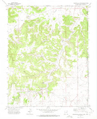
 1972 Goodson School1975 Print · USGSThe high mesa country of Union County is captured here in the early 1970s, at the junction of New Mexico, Oklahoma, and Colorado. Researchers can trace the rural infrastructure of the day, from the Goodson School and Landing Strip to cattle-country landmarks like Twin Spring Windmill and Bramlett Spring.
 - 1972 Map of Rardin Hill, 1975 Print
 1972 Rardin Hill1975 Print · USGSThe high plains of Union County meet the Oklahoma and Texas borders in the early 1970s, showing a ranching landscape defined by survey lines and water. Genealogists and historians can locate Creeds Chapel Cem, the settlement of Hoover, and family-named landmarks like Mason Windmill.
 - 1972 Map of Moses, 1975 Print
 1972 Moses1975 Print · USGSThe high plains of the New Mexico-Oklahoma border are documented here in the 1970s, featuring the historic Santa Fe Trail (Cimarron Cutoff). Trace local history through Moses Cem, the Knowles School, and the Historical Marker Mc Ness Crossing.
 - 1972 Map of Greendailey Canyon, 1975 Print
 1972 Greendailey Canyon1975 Print · USGSThe High Plains borderlands of New Mexico and Oklahoma come into focus in the early seventies, showing a ranching landscape defined by deep canyons. Researchers can locate isolated landmarks like the Piñon Windmill, Escondido Springs, and a lone Grave near Layton.
 - 1978 Map of Furnish Canyon East
 1978 Furnish Canyon East1978 Print · USGSThe Colorado and New Mexico borderlands come into focus in the late 1970s, showing a remote landscape of high mesas and deep canyons. Family history researchers can locate Durham Ranch, the settlement of Ellmore, and isolated landmarks like Johnston Mon or a lone Grave.
 - 1979 Map of Tubs Springs
 1979 Tubs Springs1979 Print · USGSThe Colorado and Oklahoma borderlands come into focus in the late 1970s, revealing a landscape shaped by ranching and essential water sources. Researchers can trace the heritage of remote outposts through landmarks like Little Dandy Windmill, Cave Spring, and a solitary Grave.
End of results
Showing maps 1-22 of 22
Top cities of Cimarron County
Frequently asked questions
- What are the different types of historical maps available for Cimarron County?
- What is the oldest map of Cimarron County?
- Where can I purchase historical maps of Cimarron County for my home or office?
- Where can I download high-res historical maps of Cimarron County?
- Are there historical topographic maps available for Cimarron County?
- Is there historical aerial imagery available for Cimarron County?
- Where are historical maps of Cimarron County sourced from?