2020s Maps of Cimarron County, Oklahoma
Explore 42 historic maps of Cimarron County from the 2020s. These maps offer a rare glimpse into what life looked like during the 2020s — showing old roads, neighborhoods, homes, and landmarks that have changed or disappeared over time.
Whether you're researching your family's past, planning a metal detecting trip, or studying how Cimarron County's landscape evolved across the 2020s, these high-resolution maps are a powerful tool for exploring the history of this region.
- Focus on a specific era: All maps on this page are from the 2020s, giving you a focused view of this time period.
- See what’s changed: Compare century-old streets, trails, and buildings to today's modern landscape using overlays and satellite layers.
- Research with precision: Use these maps for genealogy, historical research, land use analysis, or educational projects.
- View, download, or print: Maps are fully viewable online in high resolution, and can be downloaded or printed for your own records.
Start exploring Cimarron County's history through authentic maps from the 2020s. This is your window into the past.
Cimarron County, OK maps
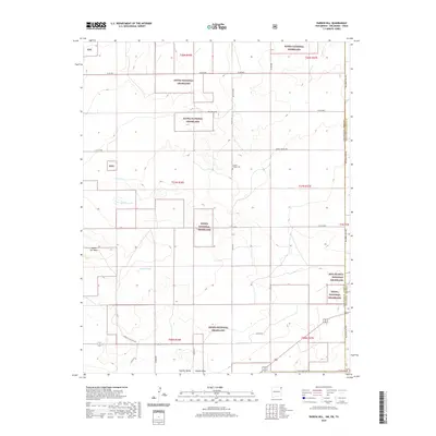
(42)- 2020 Map of Moses, 2020 Print
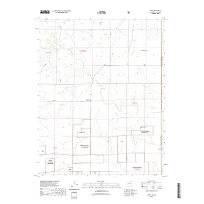 2020 Moses2020 Print · USGSCovers Cimarron County, including Old Moses, Moses, and other nearby areas
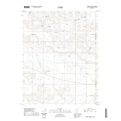
 - 2020 Map of Greendailey Canyon, 2020 Print
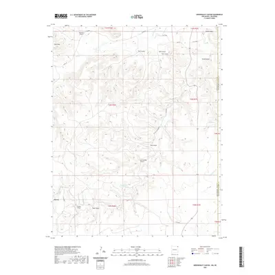 2020 Greendailey Canyon2020 Print · USGSCovers Cimarron County, including Union County, United States, and other nearby areas
 - 2020 Map of Rardin Hill, 2020 Print
 2020 Rardin Hill2020 Print · USGSCovers Cimarron County, including Union County, Dallam County, and other nearby areas
 - 2020 Map of Goodson School, 2020 Print
 2020 Goodson School2020 Print · USGSCovers Cimarron County, including Union County, Baca County, and other nearby areas
 - 2022 Map of Tubs Springs, 2022 Print
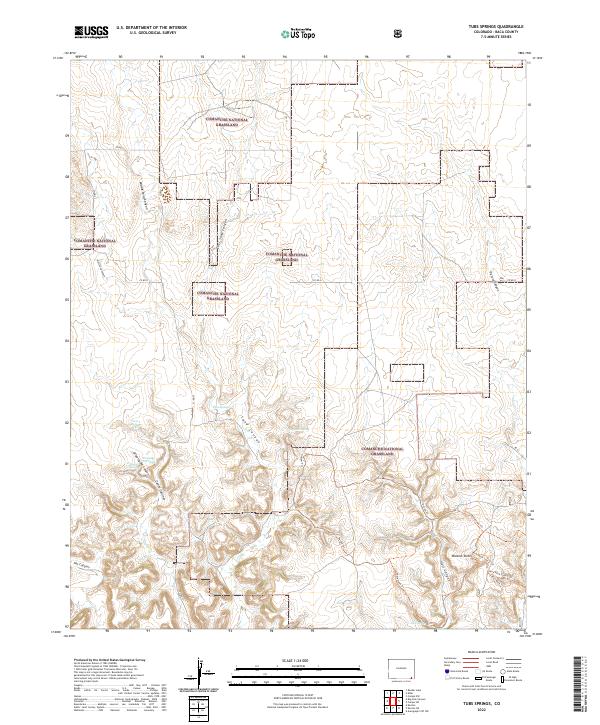 2022 Tubs Springs2022 Print · USGSBaca County's high plains are revealed in this modern survey of the shortgrass prairie and its deeply carved canyons. Researchers can trace historic water sources like Tubs Springs and follow the paths of the Outlaw Trl and Homestead Trl.
 - 2022 Map of Furnish Canyon East, 2022 Print
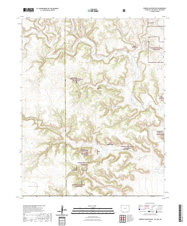 2022 Furnish Canyon East2022 Print · USGSSoutheast Colorado's canyon-cut plains are documented here in the early twenty-first century, showing the intersection of public lands and energy infrastructure. Trace the rugged terrain of Furnish Canyon and Black Mesa, or locate local landmarks like the John L Jones Reservoir.
 - 2022 Map of Boise City NW, 2022 Print
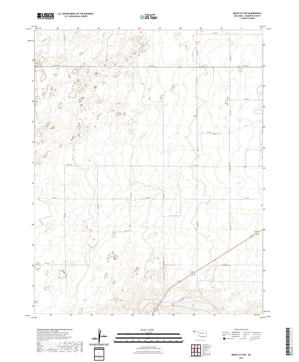 2022 Boise City NW2022 Print · USGSCimarron County's high plains are shown in the early 2020s, defined by the intersection of the Oklahoma Panhandle's rigid survey grid and the natural curves of the Beaver River. Researchers can trace rural routes like N0170 RD and E0230 RD across the township lines of T3N R3E.
 - 2022 Map of Keyes SW, 2022 Print
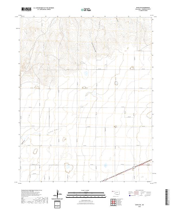 2022 Keyes SW2022 Print · USGSThe Oklahoma Panhandle is seen here in its modern agricultural form, defined by the relentless section-line grid and natural drainage draws. You can trace the paths of French Draw, King Draw, and South Picket House Draw across the rural landscape.
 - 2022 Map of Conrad, 2022 Print
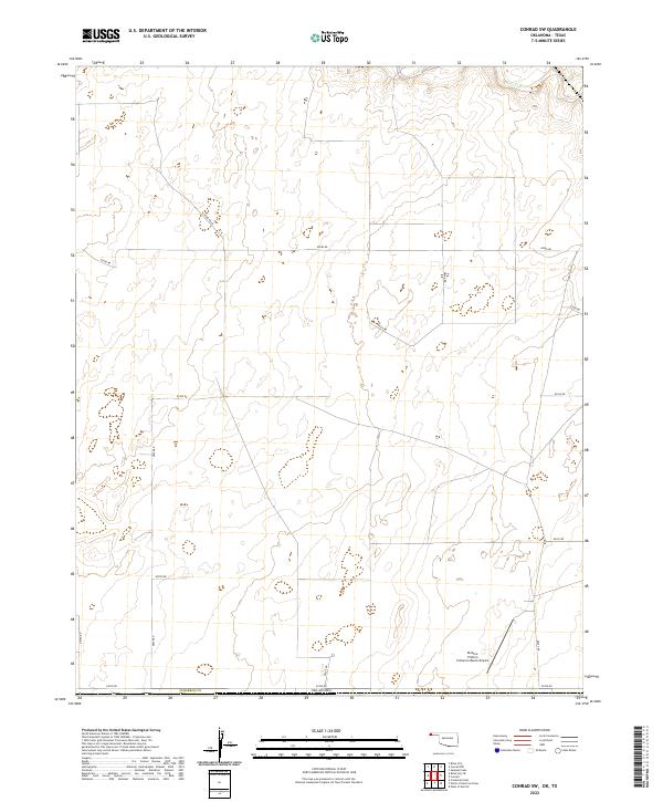
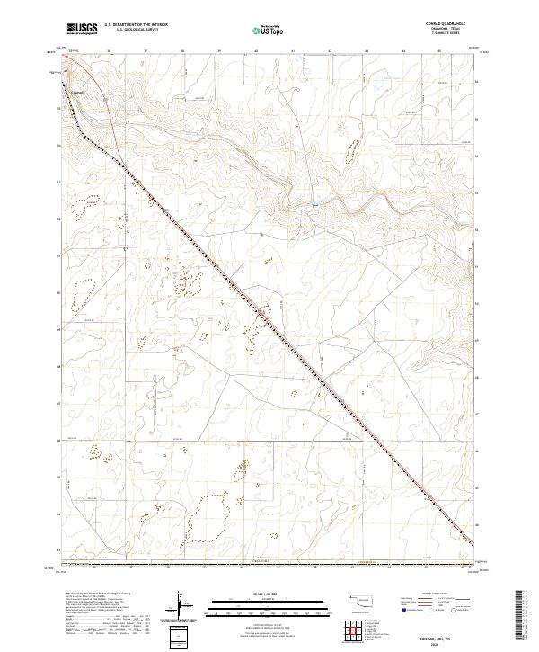 2022 Conrad2022 Print · USGSThe High Plains of the Oklahoma Panhandle are documented here during a period of modern rural development. Researchers can trace the section-line roads and water sources like the Beaver River, Ritner Lake, and the settlement of Conrad.
 - 2022 Map of Griggs, 2022 Print
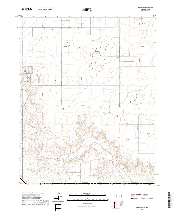
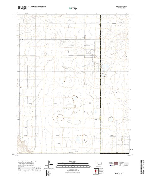 2022 Griggs2022 Print · USGSThe rural landscape around the Oklahoma-Texas border is meticulously documented in this contemporary survey of the Panhandle. Researchers can trace the section lines and local roads surrounding Griggs and follow the county line separating Cimarron Co from Texas Co.
 - 2022 Map of Keyes NW, 2022 Print
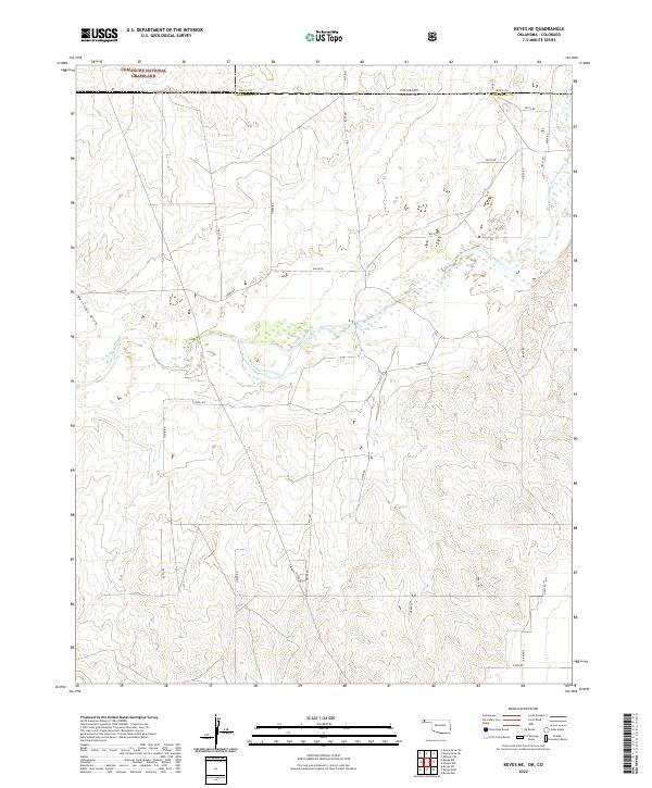
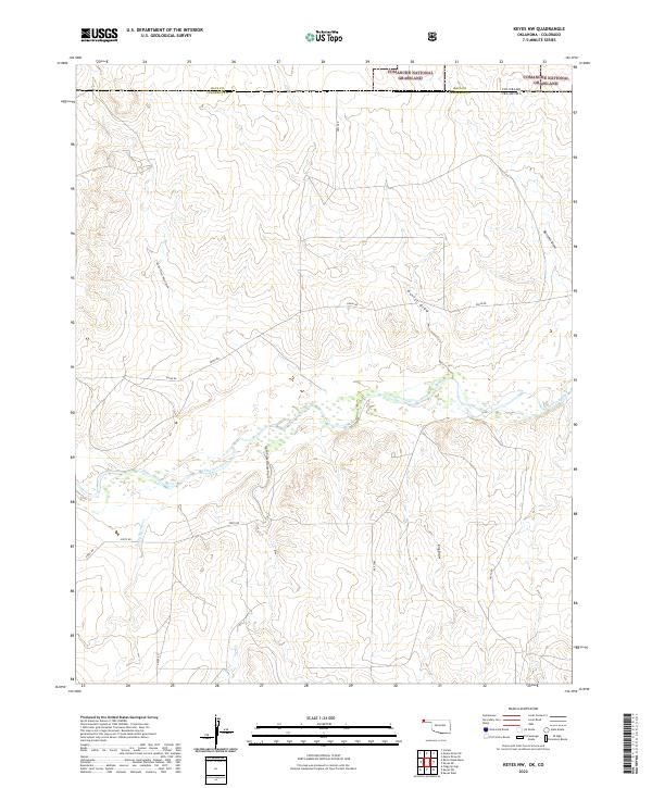 2022 Keyes NW2022 Print · USGSCimarron County, Oklahoma and Baca County, Colorado meet along the winding Cimarron River in this recent survey. Researchers can trace the rugged drainage patterns of the High Plains through North Picket House Draw and the protected Comanche National Grassland.
 - 2022 Map of Felt NE, 2022 Print
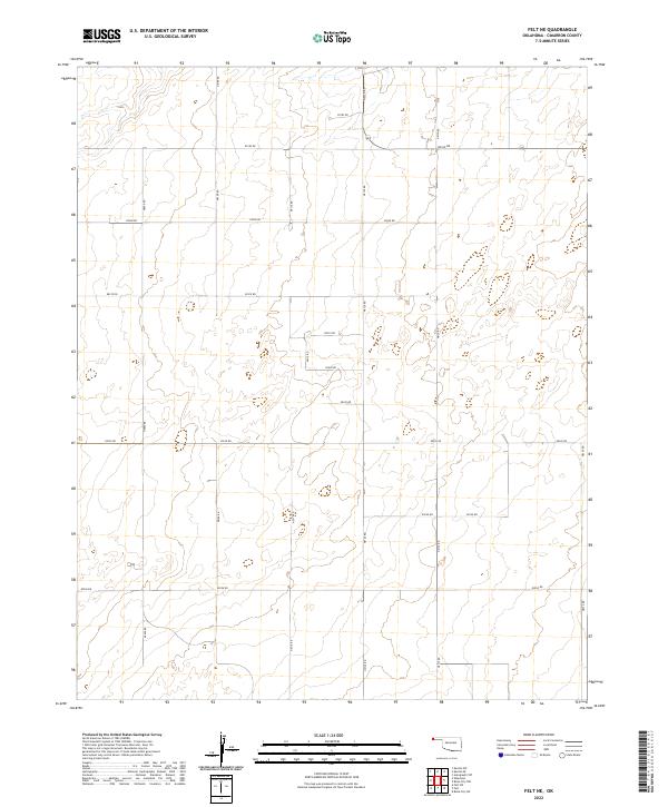 2022 Felt NE2022 Print · USGSCimarron County’s high plains are shown in this recent survey, preserving the precise section-line grid of the Oklahoma Panhandle. Trace rural property access and modern ranching boundaries along E0190 Rd, N0120 Rd, and E0230 Rd.
 - 2022 Map of Kenton SW, 2022 Print
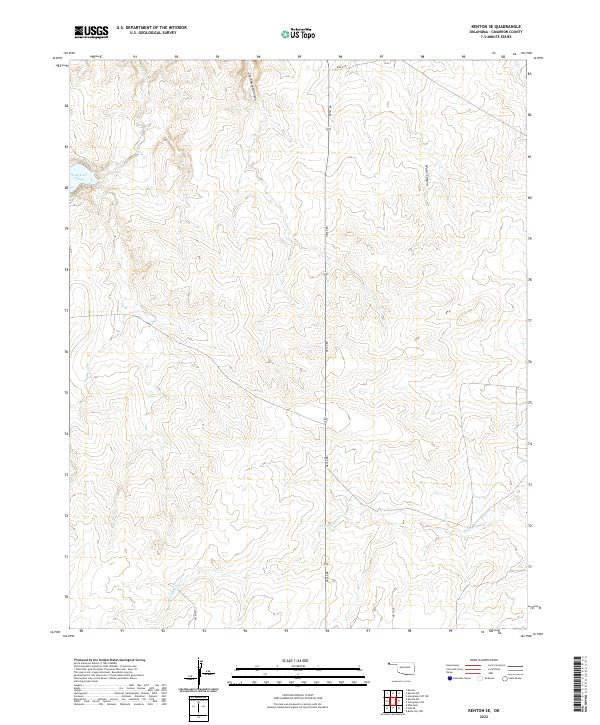
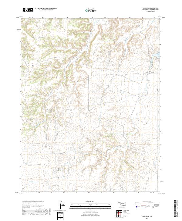 2022 Kenton SW2022 Print · USGSThe high plains of the Oklahoma Panhandle are documented here in recent years, showing the ranching landscape of Cimarron County. Researchers can trace the drainages of Tesesquite Cr and Willow Cr or locate Lake Carl Etling.
 - 2022 Map of Griggs SW, 2022 Print
 2022 Griggs SW2022 Print · USGSCimarron County, Oklahoma, is surveyed here in the early twenty-first century, showing the rugged breaks and high plains of the Panhandle. Genealogists and historians can trace the paths of Beaver River and the grid of section-line roads like E0300 Rd.
 - 2022 Map of Sturgis NW, 2022 Print
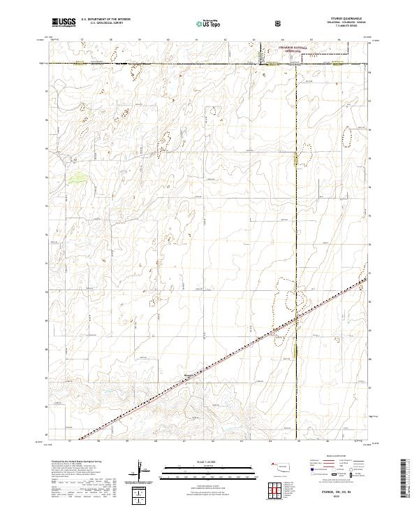
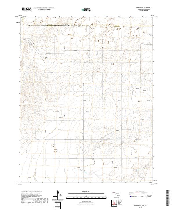 2022 Sturgis NW2022 Print · USGSCimarron County at the Oklahoma-Colorado border reveals its high-plains character in this recent survey. Researchers can trace the section-line road network and the drainage of Goff Cr as it winds through townships like T6N R8E and T5N R8E.
 - 2022 Map of Hopkins, 2022 Print
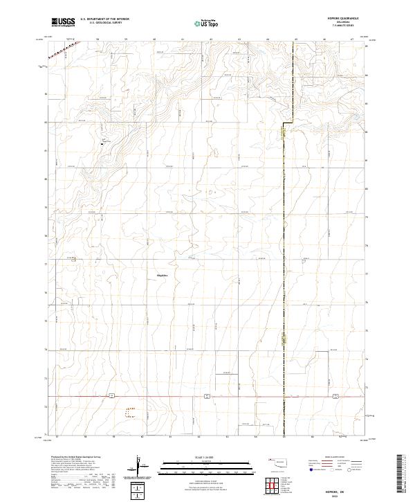 2022 Hopkins2022 Print · USGSCimarron County’s high plains and section-line roads are captured in this recent survey of the Oklahoma Panhandle. Researchers can locate the settlement of Hopkins and trace local history at the Goff - Hagan Cem near the banks of Goff Cr.
 - 2022 Map of Sturgis, 2022 Print
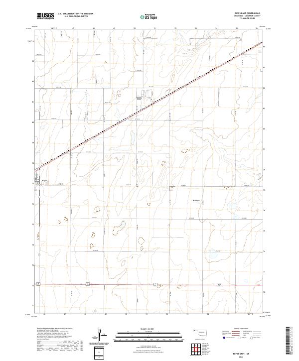
 2022 Sturgis2022 Print · USGSThe tri-state border region of the Oklahoma Panhandle comes into focus in this modern survey of the high plains. Researchers can trace the remote settlement of Sturgis, follow the course of Goff Cr, and map the boundaries of the Cimarron National Grassland.
 - 2022 Map of Keyes East, 2022 Print
 2022 Keyes East2022 Print · USGSThe Oklahoma Panhandle is captured here in the contemporary era, showing the grid-based agricultural landscape of Cimarron County. Genealogists and local historians can trace the town layouts of Keyes and Burton or follow the path of Goff Cr through the plains.
 - 2022 Map of Wheeless, 2022 Print
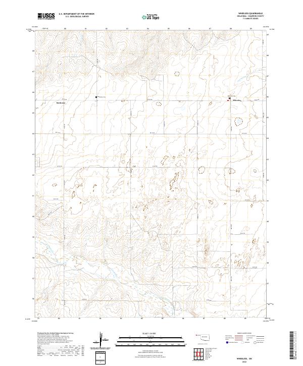 2022 Wheeless2022 Print · USGSCimarron County’s high plains are documented here in the modern era, showing the enduring grid of the Oklahoma Panhandle. Genealogists can locate family sites at Mexhoma Cem or Wheeless Cem and trace the paths of Corrumpa Cr and Cold Springs Cr.
 - 2022 Map of Griggs NW, 2022 Print
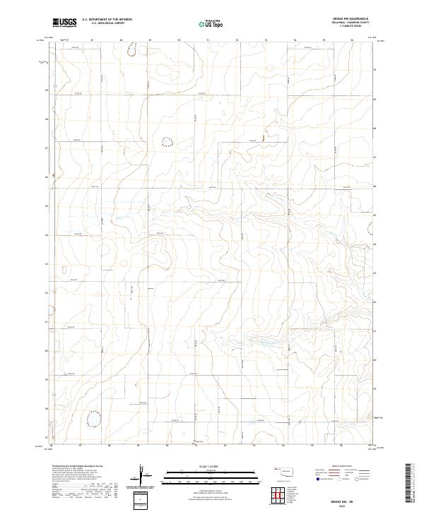 2022 Griggs NW2022 Print · USGSCimarron County’s high plains are captured here in the early twenty-first century, showing a landscape defined by its rigid section-line grid. Researchers can locate the Marella Cem and trace the drainage of Sand Cr toward the Marvin Cryer Reservoir.
 - 2022 Map of Conrad SW, 2022 Print
 2022 Conrad SW2022 Print · USGSThe high plains of Cimarron County appear here in the early twenty-first century, organized by an extensive grid of section-line roads. Map collectors and local researchers can trace the course of the Beaver River or locate the Perkins-Prothro Cimarron Ranch Airport among the area's many ranch roads.
 - 2022 Map of Keyes NE, 2022 Print
 2022 Keyes NE2022 Print · USGSThe Oklahoma-Colorado borderlands come into focus in this recent survey of the Panhandle's high plains. Researchers can trace the winding Cimarron River and the northern extent of the Comanche National Grassland across the state line.
 - 2022 Map of Kenton SE, 2022 Print
 2022 Kenton SE2022 Print · USGSCimarron County at the dawn of the 2020s remains a landscape of dramatic canyons and high plains drainage. Trace the local hydrology through Lake Carl Etling, Cold Springs Cr, and the deep reaches of Cottonwood Canyon.
 - 2022 Map of Felt SW, 2022 Print
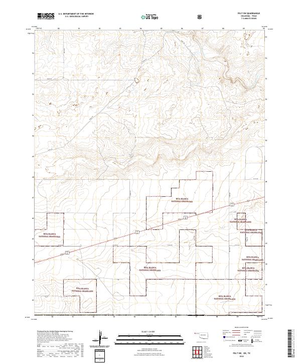 2022 Felt SW2022 Print · USGSThe Oklahoma Panhandle is defined by its sweeping prairie and section-line roads in the early twenty-first century. Researchers can trace land parcels and the winding course of Corrumpa Creek through the Rita Blanca National Grassland.
 - 2022 Map of Autograph Cliff, 2022 Print
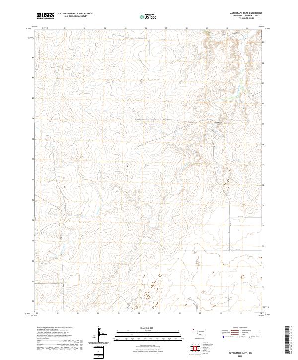 2022 Autograph Cliff2022 Print · USGSIn the Oklahoma Panhandle, this recent survey depicts the high plains of Cimarron County where the landscape is defined by the winding Cold Springs Cr. Researchers and local historians can trace the local road network and locate the landmark Autograph Cliff.
Showing maps 1-25 of 42
Top cities of Cimarron County
Frequently asked questions
- What are the different types of historical maps available for Cimarron County?
- What is the oldest map of Cimarron County?
- Where can I purchase historical maps of Cimarron County for my home or office?
- Where can I download high-res historical maps of Cimarron County?
- Are there historical topographic maps available for Cimarron County?
- Is there historical aerial imagery available for Cimarron County?
- Where are historical maps of Cimarron County sourced from?