2010s Maps of Cimarron County, Oklahoma
Explore 148 historic maps of Cimarron County from the 2010s. These maps offer a rare glimpse into what life looked like during the 2010s — showing old roads, neighborhoods, homes, and landmarks that have changed or disappeared over time.
Whether you're researching your family's past, planning a metal detecting trip, or studying how Cimarron County's landscape evolved across the 2010s, these high-resolution maps are a powerful tool for exploring the history of this region.
- Focus on a specific era: All maps on this page are from the 2010s, giving you a focused view of this time period.
- See what’s changed: Compare century-old streets, trails, and buildings to today's modern landscape using overlays and satellite layers.
- Research with precision: Use these maps for genealogy, historical research, land use analysis, or educational projects.
- View, download, or print: Maps are fully viewable online in high resolution, and can be downloaded or printed for your own records.
Start exploring Cimarron County's history through authentic maps from the 2010s. This is your window into the past.
Cimarron County, OK maps
(148)- 2010 Map of Sampsel Lake, 2010 Print
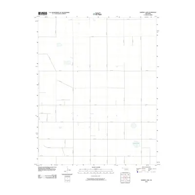 2010 Sampsel Lake2010 Print · USGSCimarron County, Oklahoma, is shown in the early twenty-first century as a land defined by its expansive agricultural grid. Researchers can trace the section-line roads and natural water bodies like Sampsel Lake, E0180 Rd, and N0400 Rd.
 - 2010 Map of Flagg Springs, 2010 Print
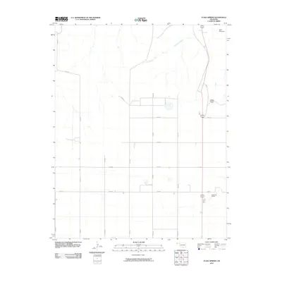 2010 Flagg Springs2010 Print · USGSCimarron County's high plains landscape is captured here in the early twenty-first century, showing the intersection of aviation and agriculture. Researchers can trace the section-line road network past Wolf Mountain and the Boise City Airport.
 - 2010 Map of Griggs NW, 2010 Print
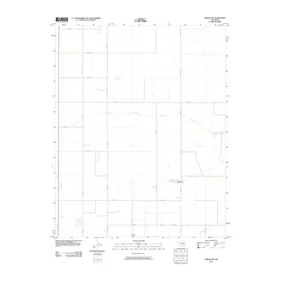 2010 Griggs NW2010 Print · USGSCimarron County, Oklahoma, is shown here as it appeared in the early 21st century, dominated by a vast grid of section line roads. Researchers and genealogists can pinpoint local landmarks like Marella Cemetery and the Marvin Cryer Reservoir Oknoname 025001 Dam along Sand Creek.
 - 2010 Map of Kenton SW, 2010 Print
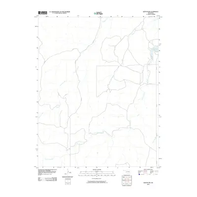 2010 Kenton SW2010 Print · USGSThe Oklahoma Panhandle in the early twenty-first century remains a landscape defined by its isolated ranch roads and ephemeral waterways. Trace the contours of the high plains around Lake Carl Etling and follow the paths of South Carrizo Creek and Tesesquite Creek.
 - 2010 Map of Kenton SE, 2010 Print
 2010 Kenton SE2010 Print · USGSCimarron County, Oklahoma, is shown in the early twenty-first century as a landscape of wide-open plains and vital water sources. Researchers can map the course of Swede Creek and Cold Springs Creek or locate the Lake Carl Etling reservoir.
 - 2010 Map of Autograph Cliff, 2010 Print
 2010 Autograph Cliff2010 Print · USGSCimarron County, Oklahoma, is shown in the early twenty-first century as a land of open plains and winding waterways. Researchers can trace the path of Cold Springs Creek and locate the distinctive Autograph Cliff landmark among the rural section roads.
 - 2010 Map of Wheeless, 2010 Print
 2010 Wheeless2010 Print · USGSCimarron County’s high plains are captured here in the early twenty-first century, showcasing the intersection of natural hydrology and the section-line road grid. Trace the path of Corrumpa Creek as it winds through a landscape connected by E0200 Rd and N0020 Rd.
 - 2010 Map of Felt NE, 2010 Print
 2010 Felt NE2010 Print · USGSCimarron County, Oklahoma, is shown in the early twenty-first century as a landscape of wide-open ranchland organized by a precise sectional grid. Researchers can trace the section-line road network and the path of Cold Springs Creek via routes like E0180 Rd and N0120 Rd.
 - 2010 Map of Conrad NW, 2010 Print
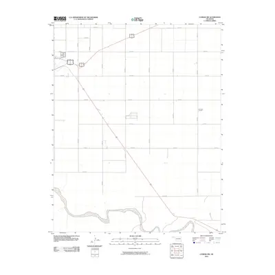 2010 Conrad NW2010 Print · USGSCimarron County's high plains are documented here in the early twenty-first century, showing the intersection of natural river systems and human-imposed grids. Researchers can locate the Garlington Cemetery or trace the path of the Beaver River through this expanse of section-line roads.
 - 2010 Map of Keyes East, 2010 Print
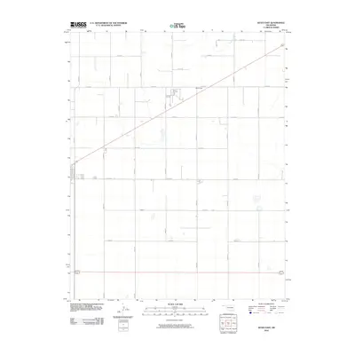 2010 Keyes East2010 Print · USGSCimarron County's high plains are captured here in the early twenty-first century, showing the rigid grid of the Oklahoma Panhandle. Genealogists and local historians can trace the rural settlement of McCullough and the drainage of Goff Creek among a vast network of section-line roads.
 - 2010 Map of Hopkins, 2010 Print
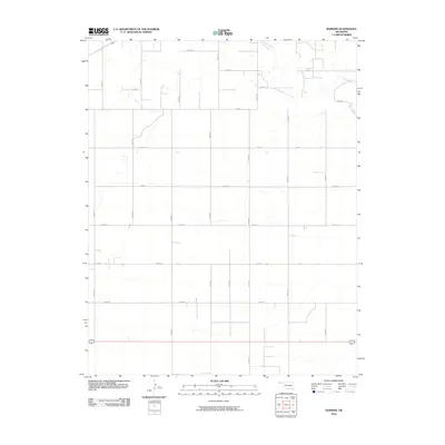 2010 Hopkins2010 Print · USGSThe Oklahoma Panhandle is captured here in the early twenty-first century, showing a landscape defined by industrial-scale agriculture and section-line infrastructure. Researchers can trace the path of Goff Creek as it cuts across the grid formed by Co Rd J, Rd M, and Road N.
 - 2010 Map of Griggs NE, 2010 Print
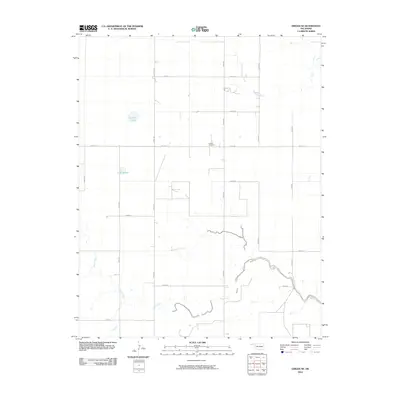 2010 Griggs NE2010 Print · USGSTexas County, Oklahoma, is shown in the early twenty-first century as a landscape of structured ranching and section-line roads. Genealogists and local researchers can locate Hutsell Cemetery and trace the paths of Sand Creek and Tepee Creek across the high plains.
 - 2010 Map of Keyes West, 2010 Print
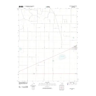 2010 Keyes West2010 Print · USGSCimarron County at the start of the decade reveals a classic High Plains landscape of section-line roads and scattered water basins. Genealogists and local historians can locate Keyes and the nearby Willow Bar Cemetery, alongside landmarks like Castor Lake.
 - 2010 Map of Boise City, 2010 Print
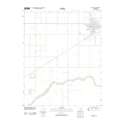 2010 Boise City2010 Print · USGSBoise City sits at the heart of the Oklahoma panhandle in the early twenty-first century, anchored by its distinctive town grid and surrounding ranch lands. Researchers can locate family plots at the Boise City Cemetery and trace the wide, sandy bed of the Beaver River as it winds south of town.
 - 2010 Map of Keyes SW, 2010 Print
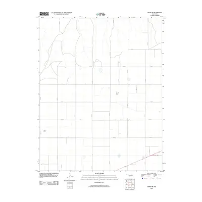 2010 Keyes SW2010 Print · USGSCimarron County's high plains are captured in this recent survey, showing the enduring grid of the Oklahoma Panhandle's ranching country. Researchers can trace the layout of Ludlam or follow the natural drainage of French Draw and Adobe Draw across the section lines.
 - 2010 Map of Boise City NW, 2010 Print
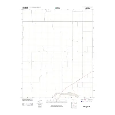 2010 Boise City NW2010 Print · USGSThe Oklahoma panhandle's open ranchlands and rural road networks are documented here during the early 2000s. Researchers can trace the path of the Beaver River and locate the grid of section lines like N0180 Rd and E0250 Rd.
 - 2010 Map of Sturgis NW, 2010 Print
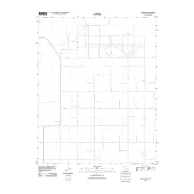 2010 Sturgis NW2010 Print · USGSCimarron County, Oklahoma, is shown in the early twenty-first century as a landscape of vast section-line grids near the Colorado border. Researchers can trace the path of the Cimarron R and the drainage of Goff Creek across an extensive network of rural routes like County Rd 51.
 - 2010 Map of Greendailey Canyon, 2010 Print
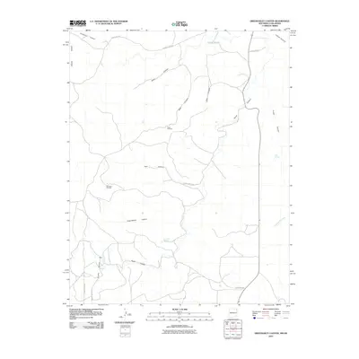 2010 Greendailey Canyon2010 Print · USGSThe high-plains ranching country of the Oklahoma panhandle is documented here in the early twenty-first century. Genealogists and historians can trace essential water sources and landmarks like Escondido Springs, Chet Springs, and the Pinon Windmill.
 - 2011 Map of Boise City SW, 2011 Print
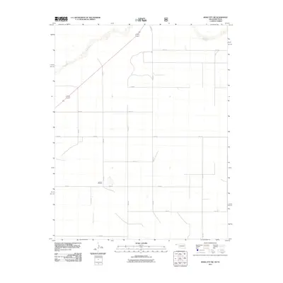 2011 Boise City SW2011 Print · USGSThe Oklahoma Panhandle near the Texas border appears in this survey as a vast network of section lines and watercourses. Genealogists and local historians can locate the Bertrand Cemetery and trace the paths of Aqua Fria Creek and the Beaver River.
 - 2011 Map of Boise City SE, 2011 Print
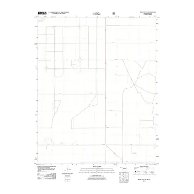 2011 Boise City SE2011 Print · USGSCimarron County at the dawn of the 2010s remains a landscape of precise agricultural geometry and High Plains solitude. Trace the rural section-line road network, including E0310 Rd and N0230 Rd, or follow the course of the Beaver River in the northwest.
 - 2011 Map of Felt, 2011 Print
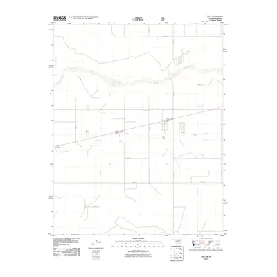 2011 Felt2011 Print · USGSOklahoma's western panhandle at the start of the 2010s is captured here, centered on the community of Felt. Researchers can trace the section-line roads and riparian features of the Beaver River and Aqua Fria Creek, or locate the Felt Picnic Area.
 - 2011 Map of Felt SW, 2011 Print
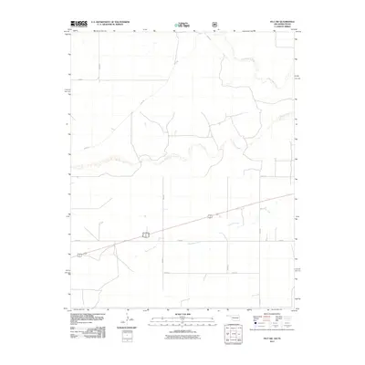 2011 Felt SW2011 Print · USGSCimarron County at the start of the 2010s remains a landscape of wide-open spaces and essential watercourses. Researchers can trace the paths of Corrumpa Creek and Aqua Fria Creek as they cut through a network of rural routes like D0305 Rd.
 - 2011 Map of Conrad, 2011 Print
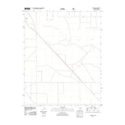 2011 Conrad2011 Print · USGSCimarron County at the start of the twenty-first century is defined by its wide-open ranch lands and the winding path of the Beaver River. Researchers can trace the layout of the rural road grid and locate landmarks like the small settlement of Conrad or the waters of Ritner Lake.
 - 2011 Map of Conrad SW, 2011 Print
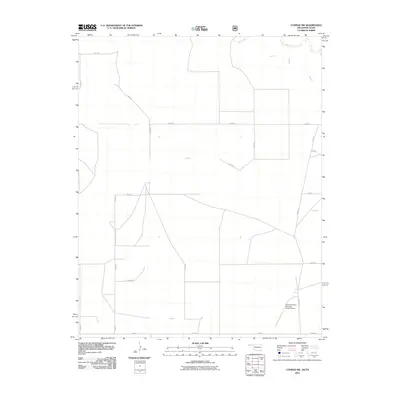 2011 Conrad SW2011 Print · USGSCimarron County, Oklahoma, is shown in this 2011 survey of the High Plains as a landscape dominated by ranching and a rigid grid of rural roads. Genealogists and researchers can locate family land near the Beaver River or the Perkins-Prothro Cimarron Ranch Airport.
 - 2011 Map of Griggs SW, 2011 Print
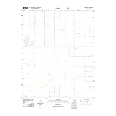 2011 Griggs SW2011 Print · USGSThe Oklahoma panhandle's agricultural grid meets the natural curves of the Beaver River in this early twenty-first-century survey. Trace the intersection of section-line roads like E0300 Rd and N0440 Rd to locate family ranch sites and land plots.
Showing maps 1-25 of 148
Top cities of Cimarron County
Frequently asked questions
- What are the different types of historical maps available for Cimarron County?
- What is the oldest map of Cimarron County?
- Where can I purchase historical maps of Cimarron County for my home or office?
- Where can I download high-res historical maps of Cimarron County?
- Are there historical topographic maps available for Cimarron County?
- Is there historical aerial imagery available for Cimarron County?
- Where are historical maps of Cimarron County sourced from?