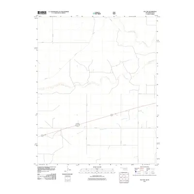
2011 Map of Felt SW
USGS Topo · Published 2011About this map
Corrumpa Creek and Seneca Creek define the northern drainage of this high plains landscape at the very edge of the Oklahoma panhandle. In this sparsely populated corner of Cimarron County, the terrain is marked by the intermittent flow of Aqua Fria Creek, which moves eastward through a vast grid of section-line roads. This 2011 survey captures the area's essential agricultural infrastructure, characterized by long stretches of gravel and dirt routes such as D0266 Rd and N0040 Rd. The intersection of these local roads reflects a persistent ranching or farming layout where water is the primary landmark. The map's detail provides a look at the precise placement of seasonal watercourses and rural corridors that have likely guided local movement for generations.
Find a feature on this map
13 named features on this map. Tap any name to fly to it.
Don’t see what you’re looking for? This feature index may not catch every label — zoom into the map to look around manually.
Map Details
Editions of this 2011 Felt SW Map
This is the sole edition of this map. No revisions or reprints were ever made.
Other maps of this area

1954 · Dalhart
USGS Topo · 1:250,000

1958 · Dalhart
USGS Topo · 1:250,000

1962 · Dalhart
USGS Topo · 1:250,000

1969 · Felt SW
USGS Topo · 1:24,000

1969 · Wheeless
USGS Topo · 1:24,000

1969 · Felt
USGS Topo · 1:24,000

1969 · Felt NE
USGS Topo · 1:24,000

1970 · Texline North
USGS Topo · 1:24,000

1972 · Rardin Hill
USGS Topo · 1:24,000

1972 · Moses
USGS Topo · 1:24,000