2000s (21st Century) Maps of Geronimo, Oklahoma
Explore 10 historic maps of Geronimo from the 2000s (21st Century). These maps offer a rare glimpse into what life looked like during the 2000s — showing old roads, neighborhoods, homes, and landmarks that have changed or disappeared over time.
Whether you're researching your family's past, planning a metal detecting trip, or studying how Geronimo's landscape evolved across the 2000s, these high-resolution maps are a powerful tool for exploring the history of this region.
- Focus on a specific era: All maps on this page are from the 2000s, giving you a focused view of this time period.
- See what’s changed: Compare century-old streets, trails, and buildings to today's modern landscape using overlays and satellite layers.
- Research with precision: Use these maps for genealogy, historical research, land use analysis, or educational projects.
- View, download, or print: Maps are fully viewable online in high resolution, and can be downloaded or printed for your own records.
Start exploring Geronimo's history through authentic maps from the 2000s. This is your window into the past.
Geronimo, OK maps
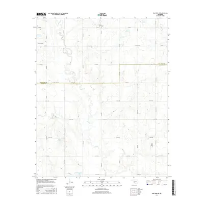
(10)- 2009 Map of Walters NE, 2009 Print
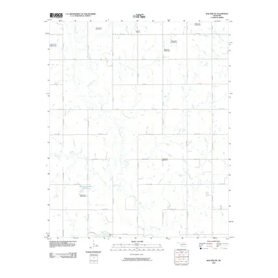 2009 Walters NE2009 Print · USGSCovers Geronimo, including Walters, Comanche County, and other nearby areas
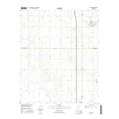
 - 2009 Map of Geronimo, 2009 Print
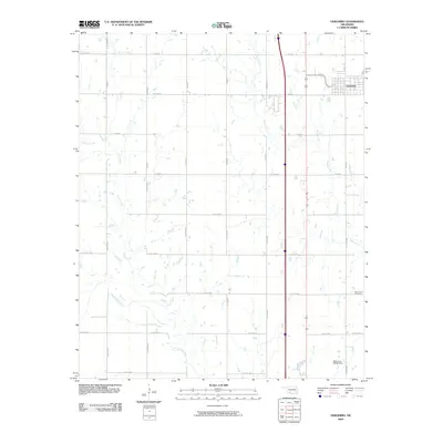 2009 Geronimo2009 Print · USGSCovers Geronimo, including Walters, Comanche County, and other nearby areas
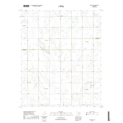
 - 2012 Map of Walters NE, 2012 Print
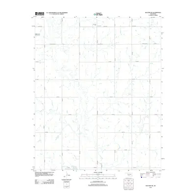 2012 Walters NE2012 Print · USGSCovers Geronimo, including Walters, Comanche County, and other nearby areas
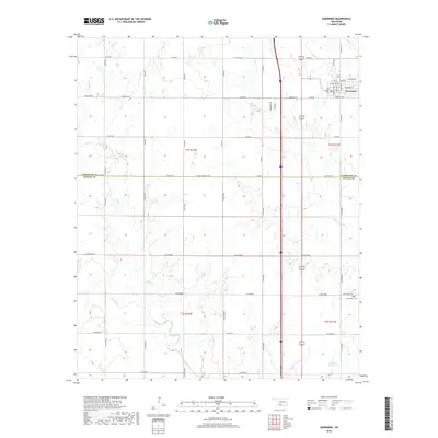
 - 2012 Map of Geronimo, 2012 Print
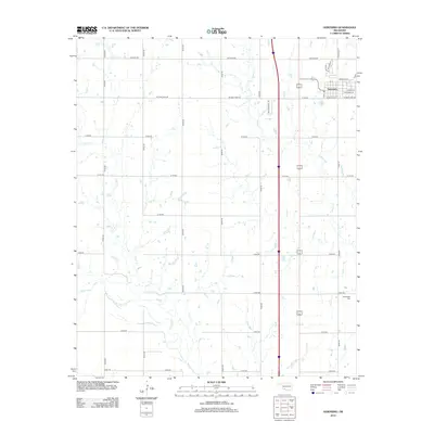 2012 Geronimo2012 Print · USGSCovers Geronimo, including Walters, Comanche County, and other nearby areas
 - 2016 Map of Walters NE, 2016 Print
 2016 Walters NE2016 Print · USGSCovers Geronimo, including Walters, Comanche County, and other nearby areas
 - 2016 Map of Geronimo, 2016 Print
 2016 Geronimo2016 Print · USGSCovers Geronimo, including Walters, Comanche County, and other nearby areas
 - 2018 Map of Walters NE, 2018 Print
 2018 Walters NE2018 Print · USGSCovers Geronimo, including Walters, Comanche County, and other nearby areas
 - 2018 Map of Geronimo, 2018 Print
 2018 Geronimo2018 Print · USGSCovers Geronimo, including Walters, Comanche County, and other nearby areas
 - 2022 Map of Walters NE, 2022 Print
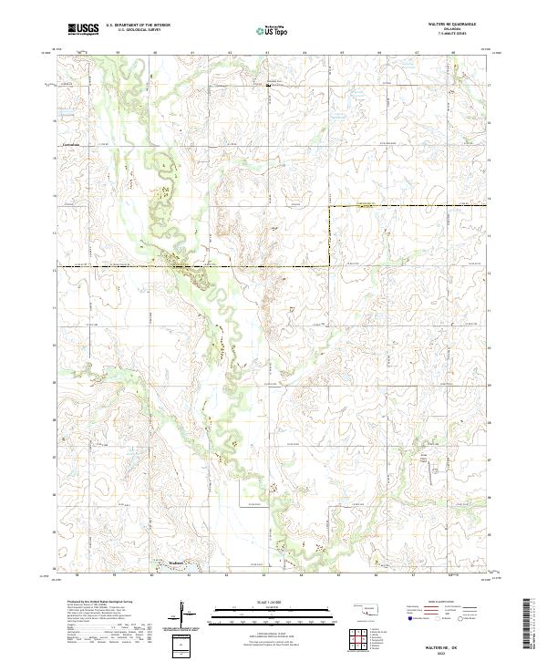 2022 Walters NE2022 Print · USGSCotton and Comanche Counties in the early 2020s remain defined by a deep-rooted agricultural grid centered on the drainage of E Cache Cr. Local researchers can trace family landmarks and burial sites including Allendale Cem, Devine Cem, and the Jones Farm Field.
 - 2022 Map of Geronimo, 2022 Print
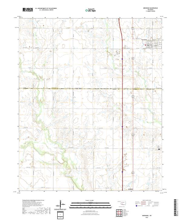 2022 Geronimo2022 Print · USGSGeronimo and the surrounding prairie of Comanche and Cotton Counties are captured here at a time when traditional section-line farming still defines the landscape. Trace local heritage and early family sites at Elm Grove Cem, New Salem Cem, or along the banks of Snake Cr.
End of results
Showing maps 1-10 of 10
Top cities near Geronimo
- Lawton historical maps
- Walters historical maps
- Cache historical maps
- Temple historical maps
- Faxon historical maps
Frequently asked questions
- What are the different types of historical maps available for Geronimo?
- What is the oldest map of Geronimo?
- Where can I purchase historical maps of Geronimo for my home or office?
- Where can I download high-res historical maps of Geronimo?
- Are there historical topographic maps available for Geronimo?
- Is there historical aerial imagery available for Geronimo?
- Where are historical maps of Geronimo sourced from?