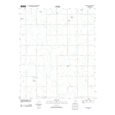
2009 Map of Walters NE
USGS Topo · Published 2009About this map
East Cache Creek meanders heavily through this rural Cotton County landscape, defining the local hydrology and drainage patterns. The terrain is characterized by a network of sectional roads and numerous small-scale water management structures, including Oknoname 141015 Dam and several others identified by their state inventory numbers. These numerous dams suggest a highly managed agricultural environment where water retention is vital for the surrounding farmland.
Find a feature on this map
37 named features on this map. Tap any name to fly to it.
Don’t see what you’re looking for? This feature index may not catch every label — zoom into the map to look around manually.
Map Details
Editions of this 2009 Walters NE Map
This is the sole edition of this map. No revisions or reprints were ever made.
Other maps of this area

1946 · Lawton
USGS Topo · 1:62,500

1949 · Nellie
USGS Topo · 1:62,500

1955 · Lawton
USGS Topo · 1:250,000

1956 · Ninemile Creek
USGS Topo · 1:24,000

1956 · Lawton
USGS Topo · 1:24,000

1956 · Letitia
USGS Topo · 1:24,000

1956 · Lawton
USGS Topo · 1:62,500

1956 · Nellie
USGS Topo · 1:62,500

1962 · Walters
USGS Topo · 1:62,500

1962 · Temple
USGS Topo · 1:62,500