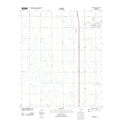
2012 Map of Geronimo
USGS Topo · Published 2012About this map
Geronimo anchors the northeast corner of this landscape, where a grid of streets including E Main St and Wisconsin St meets the rural agricultural lands of Cotton County. The terrain is defined by the winding paths of several waterways, most notably W Cache Cr and Snake Cr, which meander through a series of section-line roads. Farther south, the New Salem Cem sits near E1800 Rd, serving as a quiet landmark for local genealogists and historians of the region. The map reveals the layout of 21st-century Oklahoma transportation, with a clear contrast between the tight residential developments like SW Mohawk Ln and the long, straight expanses of county roads like SW Burk Rd and N2560 Rd that partition the prairie.
Find a feature on this map
31 named features on this map. Tap any name to fly to it.
Don’t see what you’re looking for? This feature index may not catch every label — zoom into the map to look around manually.
Map Details
Editions of this 2012 Geronimo Map
This is the sole edition of this map. No revisions or reprints were ever made.
Other maps of this area
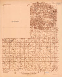
1937 · Cache
USGS Topo · 1:48,000
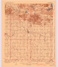
1942 · Cache
USGS Topo · 1:62,500
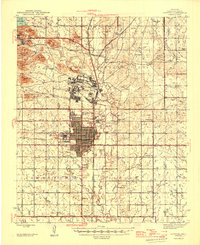
1946 · Lawton
USGS Topo · 1:62,500

1955 · Lawton
USGS Topo · 1:250,000
1956 · Ninemile Creek
USGS Topo · 1:24,000
1956 · Taupa
USGS Topo · 1:24,000
1956 · Lawton
USGS Topo · 1:24,000
1956 · Cache
USGS Topo · 1:62,500
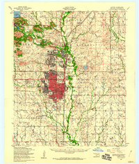
1956 · Lawton
USGS Topo · 1:62,500
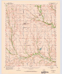
1962 · Chattanooga
USGS Topo · 1:62,500