Old Maps of Taylor, Oklahoma for Genealogy
Trace your family roots with 9 historic maps of Taylor. These high-res maps reveal old neighborhoods, homesites, landmarks, and streets — helping you uncover where your ancestors lived and how the area evolved over time.
- Explore historic neighborhoods: Identify where your relatives may have lived in the 1800s or 1900s.
- Compare maps over time: Trace the changes in streets, buildings, and landmarks for multi-generational research.
- Perfect for genealogy & ancestry research: Used by family historians and researchers to map out lineage and migration.
These maps are an incredible resource for exploring your personal connection to Taylor's past.
Taylor, OK maps
(9)- 1955 Map of Lawton, 1958 Print
 1955 Lawton1958 Print · USGSSouthwestern Oklahoma and North Texas are shown here in the mid-fifties, dominated by the Wichita Mountains and the vital Red River watershed. Genealogists and historians can trace the foundations of Lawton alongside rural landmarks like Rainy Mountain Church and Pleasant Hill School.5 unique versions available
 - 1957 Map of Randlett, 1958 Print
 1957 Randlett1958 Print · USGSThe Red River borderlands of Oklahoma and Texas come alive in this mid-century survey of the local oil fields and river bottoms. Researchers can trace rural lineages through sites like Randlett Cem, the Linville Sch (Aban'd), and the historical Perkins Reservation.2 unique versions available
 - 1985 Map of Taylor
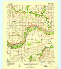
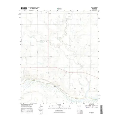
 1985 Taylor1985 Print · USGSThe Oklahoma-Texas borderlands along the Red River are captured here in the mid-eighties during a period of active oil exploration. Researchers can trace the petroleum infrastructure of the West Cache Creek Oil Field and locate the small settlement of Taylor.
 - 1985 Map of Burkburnett, 1986 Print
 1985 Burkburnett1986 Print · USGSThe Red River valley and North Texas oil fields are captured here in the mid-eighties, showing the vital connection between military hubs and rail towns. Researchers can trace the path of the Missouri Kansas Texas railroad through Burkburnett or locate Waurika Lake and Sheppard Air Force Base.2 unique versions available
 - 2010 Map of Taylor, 2010 Print
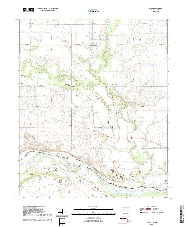
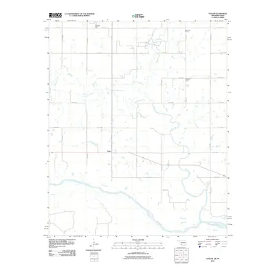 2010 Taylor2010 Print · USGSCovers Taylor, including Clay County, Cotton County, and other nearby areas
 - 2012 Map of Taylor, 2012 Print
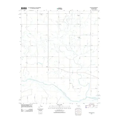 2012 Taylor2012 Print · USGSCovers Taylor, including Clay County, Cotton County, and other nearby areas
 - 2016 Map of Taylor, 2016 Print
 2016 Taylor2016 Print · USGSCovers Taylor, including Clay County, Cotton County, and other nearby areas
 - 2019 Map of Taylor, 2019 Print
 2019 Taylor2019 Print · USGSCovers Taylor, including Clay County, Cotton County, and other nearby areas
 - 2022 Map of Taylor, 2022 Print
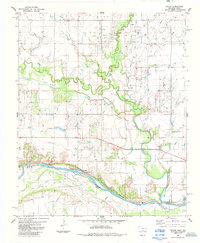
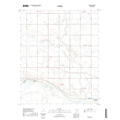
 2022 Taylor2022 Print · USGSThe Oklahoma-Texas border comes into focus in this recent survey of the lands where Cotton County meets the Red River. Researchers can trace the rural settlement of Taylor and the serpentine paths of Cache Creek and W Cache Cr as they flow south toward the state line.
End of results
Showing maps 1-9 of 9
Top cities near Taylor
- Wichita Falls historical maps
- Burkburnett historical maps
- Walters historical maps
- Temple historical maps
- Empire City historical maps
- Petrolia historical maps
See more
Frequently asked questions
- What are the different types of historical maps available for Taylor?
- What is the oldest map of Taylor?
- Where can I purchase historical maps of Taylor for my home or office?
- Where can I download high-res historical maps of Taylor?
- Are there historical topographic maps available for Taylor?
- Is there historical aerial imagery available for Taylor?
- Where are historical maps of Taylor sourced from?