Old Maps of Temple, Oklahoma for Hiking & Exploration
Hike through history with 16 historic maps of Temple. Explore old trails, ghost towns, and forgotten backroads — perfect for outdoor adventurers and local explorers.
- Rediscover forgotten places: Map out old mining camps, roads, and footpaths that no longer exist on modern maps.
- Layer with modern tools: Combine with LiDAR or satellite views to plan hikes through historical terrain.
- Made for exploration: Popular among hikers, overlanders, and local history lovers.
Use these maps to find adventure and explore the hidden past of Temple.
Temple, OK maps
(16)- 1955 Map of Lawton, 1958 Print
 1955 Lawton1958 Print · USGSSouthwestern Oklahoma and North Texas are shown here in the mid-fifties, dominated by the Wichita Mountains and the vital Red River watershed. Genealogists and historians can trace the foundations of Lawton alongside rural landmarks like Rainy Mountain Church and Pleasant Hill School.5 unique versions available
 - 1962 Map of Walters, 1964 Print
 1962 Walters1964 Print · USGSCotton County during the early 1960s was a landscape defined by the oil industry and rural railroad life. Genealogy researchers can trace family landmarks like the New Salem Cem, Cookietown, and churches such as Brown Ch and Independent Ch.
 - 1962 Map of Temple, 1964 Print
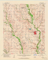
 1962 Temple1964 Print · USGSThe cotton and oil country of southwestern Oklahoma comes to life here in the early sixties. Genealogists and historians can trace the foundations of Temple and Corum, locating family landmarks like Shakelford Cem and the Lone Star Ch.2 unique versions available
 - 1985 Map of Burkburnett, 1986 Print
 1985 Burkburnett1986 Print · USGSThe Red River valley and North Texas oil fields are captured here in the mid-eighties, showing the vital connection between military hubs and rail towns. Researchers can trace the path of the Missouri Kansas Texas railroad through Burkburnett or locate Waurika Lake and Sheppard Air Force Base.2 unique versions available
 - 1987 Map of Temple, 1988 Print
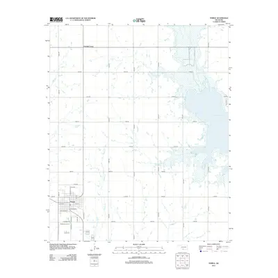
 1987 Temple1988 Print · USGSTemple and the surrounding plains are captured in the late eighties as the local landscape adapted to the presence of Waurika Lake. Genealogists and historians can trace family locations near Temple Cem, Valley View Ch, and the settlement of Mills.
 - 1987 Map of Walters, 1988 Print
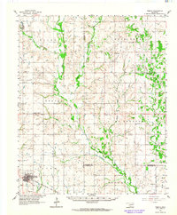
 1987 Walters1988 Print · USGSCotton County in the late eighties reveals a landscape defined by the petroleum industry and the winding waters of East Cache Creek. Genealogists and local historians can trace the development of Walters and Temple, locating landmarks like Brown Ch and Dave Boyer Lake.
 - 2010 Map of Temple, 2010 Print
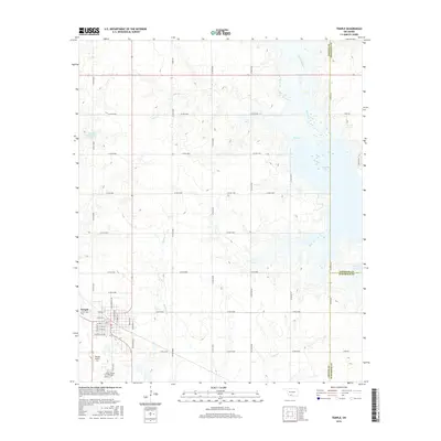
 2010 Temple2010 Print · USGSCovers Temple, including Fivemile Corner, Stephens County, and other nearby areas
 - 2010 Map of Walters, 2010 Print
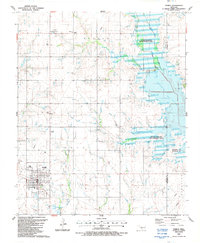
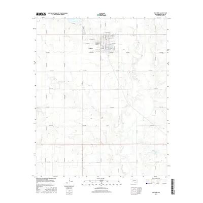
 2010 Walters2010 Print · USGSCovers Temple, including Walters, Cotton County, and other nearby areas
 - 2012 Map of Walters, 2012 Print
 2012 Walters2012 Print · USGSCovers Temple, including Walters, Cotton County, and other nearby areas
 - 2012 Map of Temple, 2012 Print
 2012 Temple2012 Print · USGSCovers Temple, including Fivemile Corner, Stephens County, and other nearby areas
 - 2016 Map of Temple, 2016 Print
 2016 Temple2016 Print · USGSCovers Temple, including Fivemile Corner, Stephens County, and other nearby areas
 - 2016 Map of Walters, 2016 Print
 2016 Walters2016 Print · USGSCovers Temple, including Walters, Cotton County, and other nearby areas
 - 2018 Map of Temple, 2018 Print
 2018 Temple2018 Print · USGSCovers Temple, including Fivemile Corner, Stephens County, and other nearby areas
 - 2018 Map of Walters, 2018 Print
 2018 Walters2018 Print · USGSCovers Temple, including Walters, Cotton County, and other nearby areas
 - 2022 Map of Walters, 2022 Print
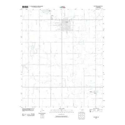
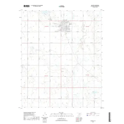
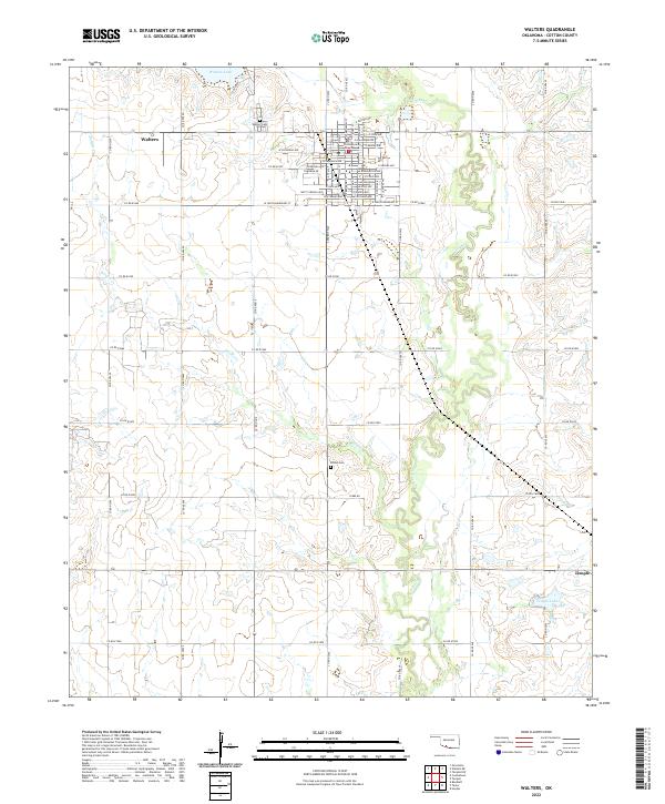 2022 Walters2022 Print · USGSCotton County comes into focus in this recent survey of the Oklahoma plains. Genealogists and local historians can trace family locations near Walters Cem and Brown Cem, or locate the Cotton County Courthouse in the heart of Walters.
 - 2022 Map of Temple, 2022 Print
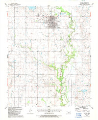
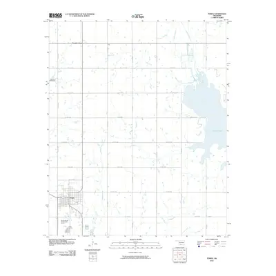
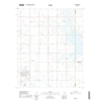
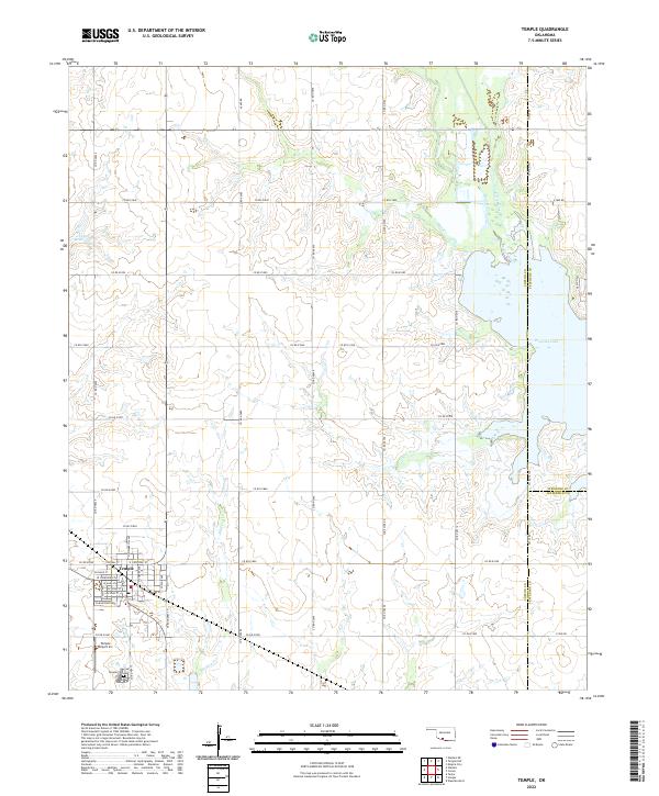 2022 Temple2022 Print · USGSTemple and the surrounding plains of Cotton County are captured here just as the modern reservoir system defines the eastern landscape. Genealogists and local historians can trace the town’s grid from W Main St to the Temple Cem, while following the original courses of Beaver Creek and Whiskey Cr.
End of results
Showing maps 1-16 of 16
Top cities near Temple
- Duncan historical maps
- Walters historical maps
- Waurika historical maps
- Comanche historical maps
- Geronimo historical maps
- Empire City historical maps
See more
Frequently asked questions
- What are the different types of historical maps available for Temple?
- What is the oldest map of Temple?
- Where can I purchase historical maps of Temple for my home or office?
- Where can I download high-res historical maps of Temple?
- Are there historical topographic maps available for Temple?
- Is there historical aerial imagery available for Temple?
- Where are historical maps of Temple sourced from?