2020s Maps of Delaware County, Oklahoma
Explore 27 historic maps of Delaware County from the 2020s. These maps offer a rare glimpse into what life looked like during the 2020s — showing old roads, neighborhoods, homes, and landmarks that have changed or disappeared over time.
Whether you're researching your family's past, planning a metal detecting trip, or studying how Delaware County's landscape evolved across the 2020s, these high-resolution maps are a powerful tool for exploring the history of this region.
- Focus on a specific era: All maps on this page are from the 2020s, giving you a focused view of this time period.
- See what’s changed: Compare century-old streets, trails, and buildings to today's modern landscape using overlays and satellite layers.
- Research with precision: Use these maps for genealogy, historical research, land use analysis, or educational projects.
- View, download, or print: Maps are fully viewable online in high resolution, and can be downloaded or printed for your own records.
Start exploring Delaware County's history through authentic maps from the 2020s. This is your window into the past.
Delaware County, OK maps
(27)- 2020 Map of Cherokee City, 2020 Print
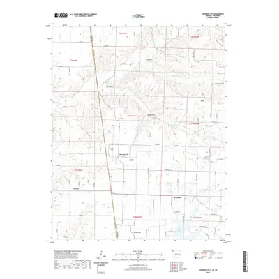 2020 Cherokee City2020 Print · USGSCovers Delaware County, including Gentry, Tonnece, and other nearby areas
 - 2020 Map of Siloam Springs, 2020 Print
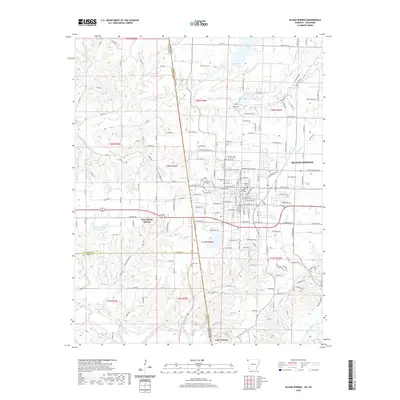 2020 Siloam Springs2020 Print · USGSCovers Delaware County, including Siloam Springs, Gentry, and other nearby areas
 - 2020 Map of Colcord NE, 2020 Print
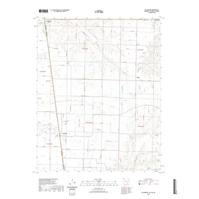 2020 Colcord NE2020 Print · USGSCovers Delaware County, including Maysville, Beaty, and other nearby areas
 - 2021 Map of Tiff City, 2021 Print
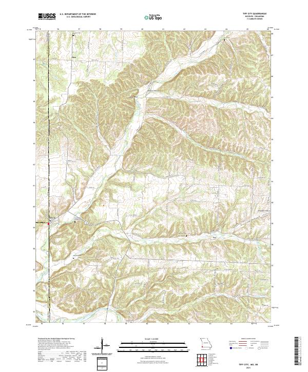 2021 Tiff City2021 Print · USGSThe Missouri-Oklahoma borderlands come into focus in this recent study of McDonald County and the tri-state corner. Genealogists and local historians can trace legacy sites like Tiff City, Cummings Chapel Cemetery, and the banks of the Elk River.
 - 2021 Map of South West City, 2021 Print
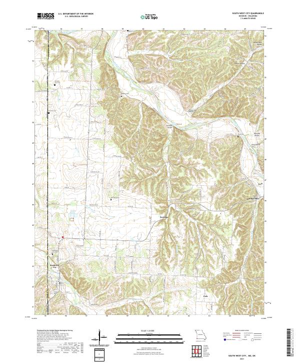 2021 South West City2021 Print · USGSThe Missouri-Oklahoma borderlands come alive in this recent survey of McDonald County's river valleys. Researchers can trace family history through numerous rural burial sites like Southwest City Cem and Manning Cem along the Elk River corridor.
 - 2022 Map of Ketchum, 2022 Print
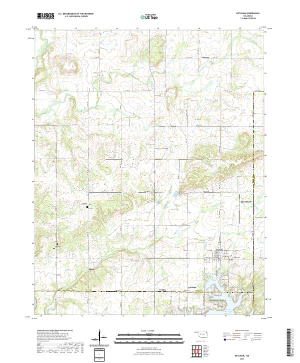 2022 Ketchum2022 Print · USGSNortheast Oklahoma’s lake country is captured here just as the settlements around Grand Lake O' The Cherokees continue to develop. Researchers can trace local lineage at the Ketchum Family Cem and Carselowey Cem or locate the rural corners of Okoee and Success.
 - 2022 Map of Rose, 2022 Print
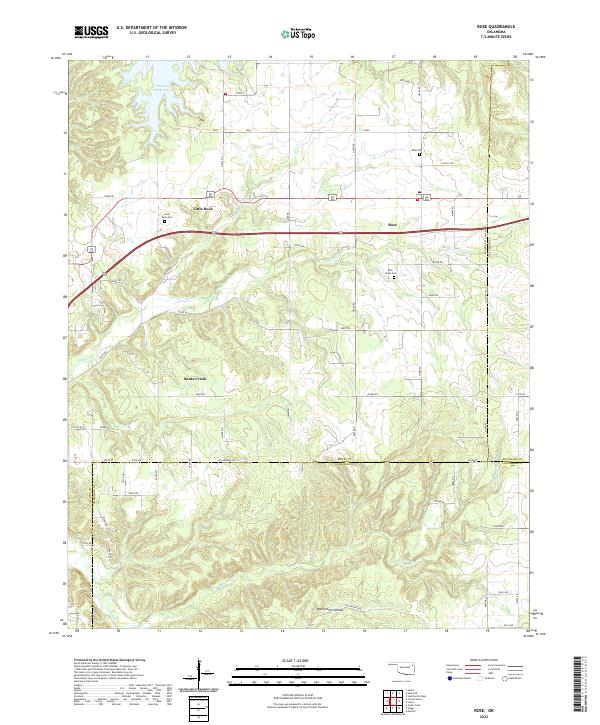 2022 Rose2022 Print · USGSThe rural landscapes of Mayes, Delaware, and Cherokee counties meet here in the twenty-first century. Genealogists and local historians can trace family locations near Rose Cem, Little Rock Cem, and the settlement at Snake Creek.
 - 2022 Map of Salina SE, 2022 Print
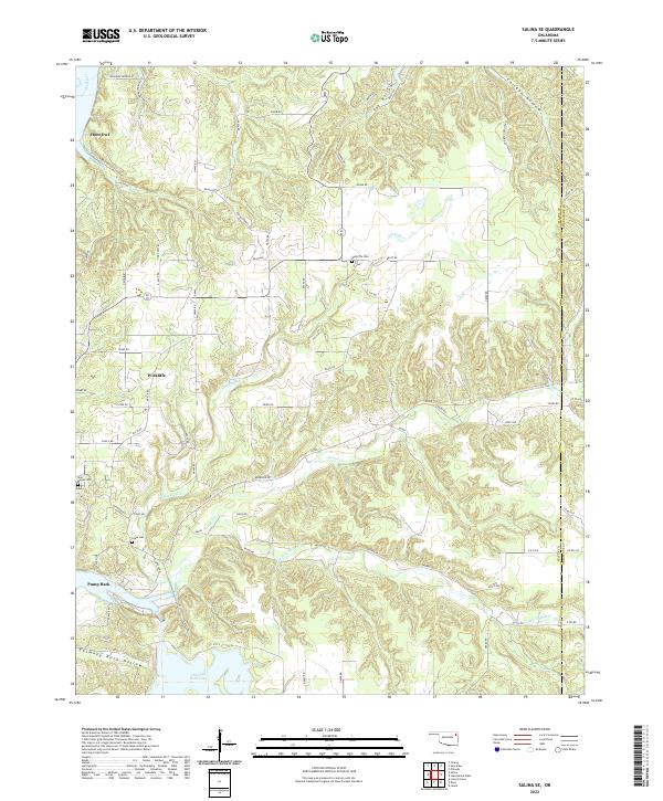 2022 Salina SE2022 Print · USGSThe Mayes and Delaware county borderlands are shown here in the 2020s, dominated by the waters of the Neosho River and Chimney Rock Lake. Local historians can trace family ties at Wickliffe Cem and explore the remote terrain of Tag Hollow and Chicken Hollow.
 - 2022 Map of Spavinaw, 2022 Print
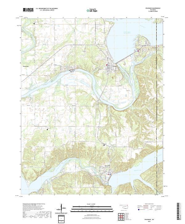 2022 Spavinaw2022 Print · USGSNortheast Oklahoma's lakeside landscape comes into focus at the turn of the millennium, showing the communities surrounding the Great Lake of the Cherokees. Researchers can trace local lineage at Military Cem or locate homesites in Sportmans Shores and Tia Juana.
 - 2022 Map of Chloeta, 2022 Print
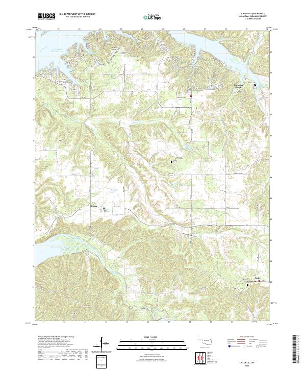 2022 Chloeta2022 Print · USGSDelaware County in the modern era shows a landscape defined by Grand Lake O' The Cherokees and the small communities of Chloeta and Eucha. Genealogists can trace family names at Nose Ridge Cem and Hillside Cem or find the Free Holiness Church.
 - 2022 Map of Jay, 2022 Print
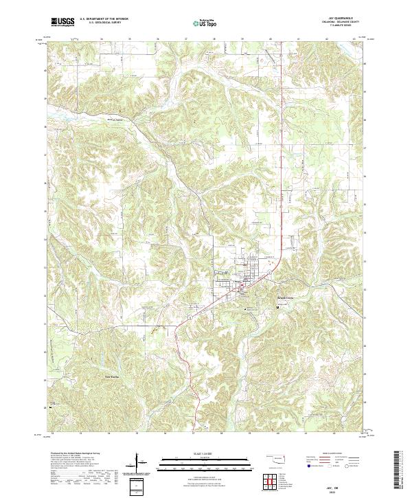 2022 Jay2022 Print · USGSJay and its surrounding Oklahoma landscape are captured here in a moment of modern continuity. Researchers can trace the civic center at the Delaware County Courthouse and locate family burial sites like Jumper Cem and Duffield Memorial Cem.
 - 2022 Map of Dodge, 2022 Print
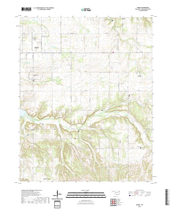 2022 Dodge2022 Print · USGSDelaware County's rural communities and creek-riven hills are documented here in the early 2020s. Genealogists can trace family heritage through local landmarks like Polan Cem, Olympus Cem, and the old settlement sites of Dodge and Cayuga.
 - 2022 Map of Lake Eucha West, 2022 Print
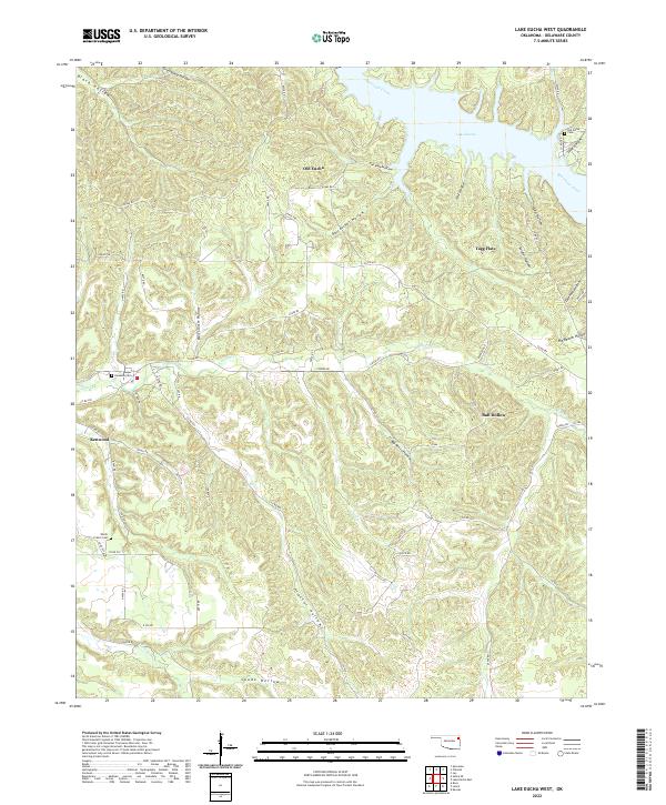 2022 Lake Eucha West2022 Print · USGSDelaware County's rugged Ozark terrain and the waters of Lake Eucha appear in this recent survey. Genealogists can locate family landmarks like Old Eucha Cem, Kenwood, and the many named hollows that define this landscape.
 - 2022 Map of Kansas, 2022 Print
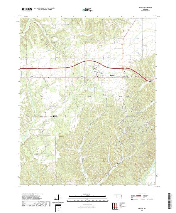 2022 Kansas2022 Print · USGSThe borderlands of Delaware, Cherokee, and Adair counties come into focus during the early twenty-first century. Genealogists and local historians can trace family sites at Kansas Cem and Oaks Cem, or explore the winding paths of Black Fox Hollow and N Old Toll Gate Rd.
 - 2022 Map of Colcord, 2022 Print
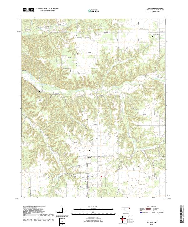 2022 Colcord2022 Print · USGSNear the Arkansas border in the early 2020s, the settlements of Colcord and Row sit amidst a deeply dissected landscape of hollows and creeks. Genealogists can trace family roots through numerous local sites like Hamby Cem, Row Cem, and Beartater Hollow.
 - 2022 Map of Sycamore, 2022 Print
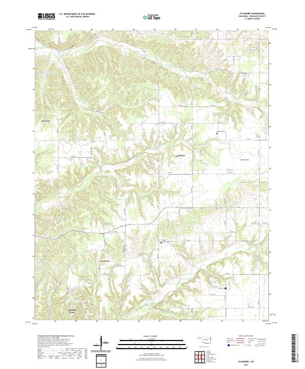 2022 Sycamore2022 Print · USGSDelaware County, Oklahoma, is shown here as a landscape of rural townships and winding creek bottoms in the early 2020s. Researchers can locate local landmarks like Sycamore, Indianola, and several historical burial sites including Mount Hermon Cem and Ward Cem.
 - 2022 Map of Lake Eucha East, 2022 Print
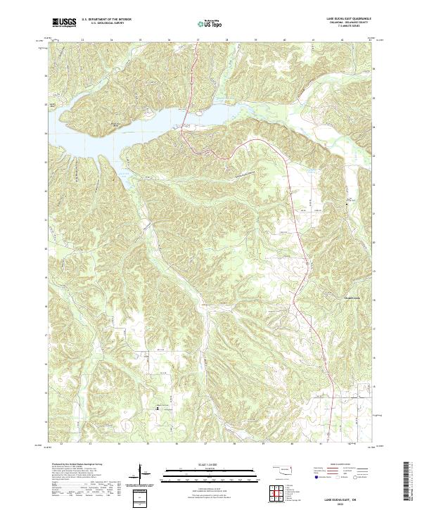 2022 Lake Eucha East2022 Print · USGSThe eastern reaches of Lake Eucha in Delaware County appear here in a period of modern rural stability. Researchers can identify family history sites like Clouds Creek Cem and Black Fox Cem among the ridges of Black Fox Bluff.
 - 2022 Map of Bernice, 2022 Print
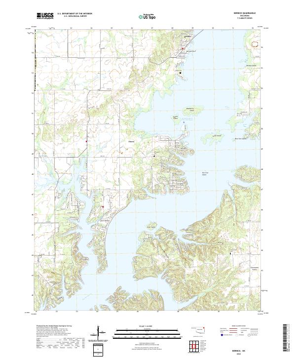 2022 Bernice2022 Print · USGSThe Bernice area and the Neosho River valley appear here in their modern form after the creation of the Grand Lake O' The Cherokees. Historians can trace local family lineages through Wallen Cem and Hilderbrand Cem or explore the development of Monkey Island and Bernice.
 - 2022 Map of Afton NE, 2022 Print
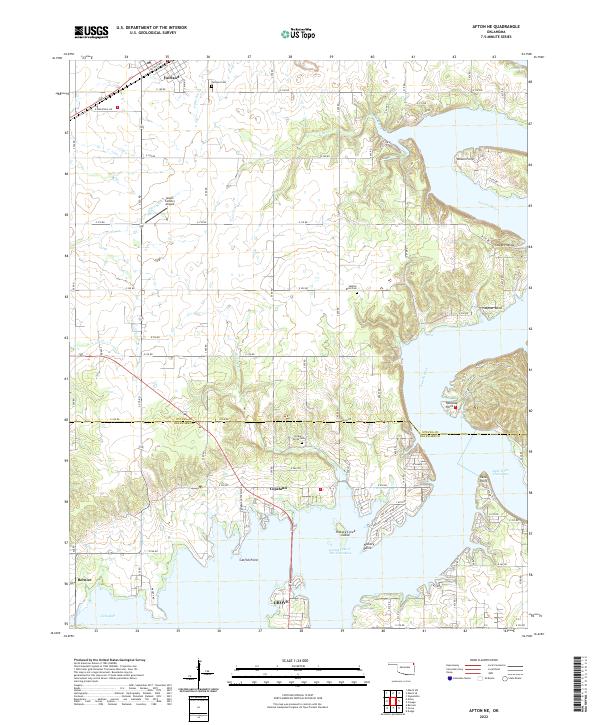 2022 Afton NE2022 Print · USGSNortheastern Oklahoma's lake country is detailed in this recent survey of the transition from the Neosho River to the reservoir. Researchers can pinpoint early burial sites like Hickory Grove Cem and trace the shoreline from Wilson Point to Catfish Point.
 - 2022 Map of Afton, 2022 Print
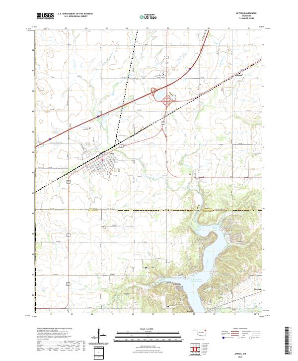 2022 Afton2022 Print · USGSNortheastern Oklahoma's lake country is captured here during a period of modern growth near the shores of Grand Lake O' The Cherokees. Researchers can trace family history at Mount Hope Cem or Sixkiller Cem and explore the residential expansion at Indian Hills and Bernice.
 - 2022 Map of Leach, 2022 Print
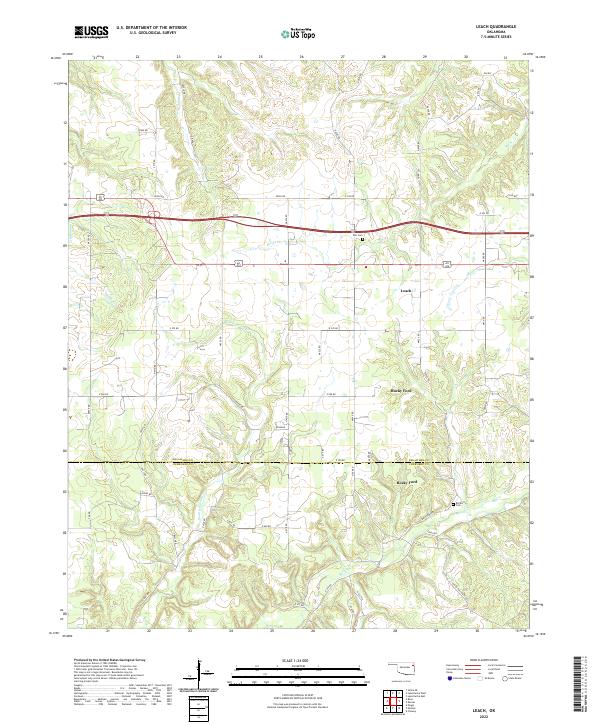 2022 Leach2022 Print · USGSLeach and the Delaware-Cherokee county line are captured here in the early twenty-first century as part of a rural landscape shaped by the Ozark foothills. Researchers can trace family sites like Batt Cemetery and Elm Cem near Rocky Ford and Spring Cr.
 - 2022 Map of Siloam Springs NW, 2022 Print
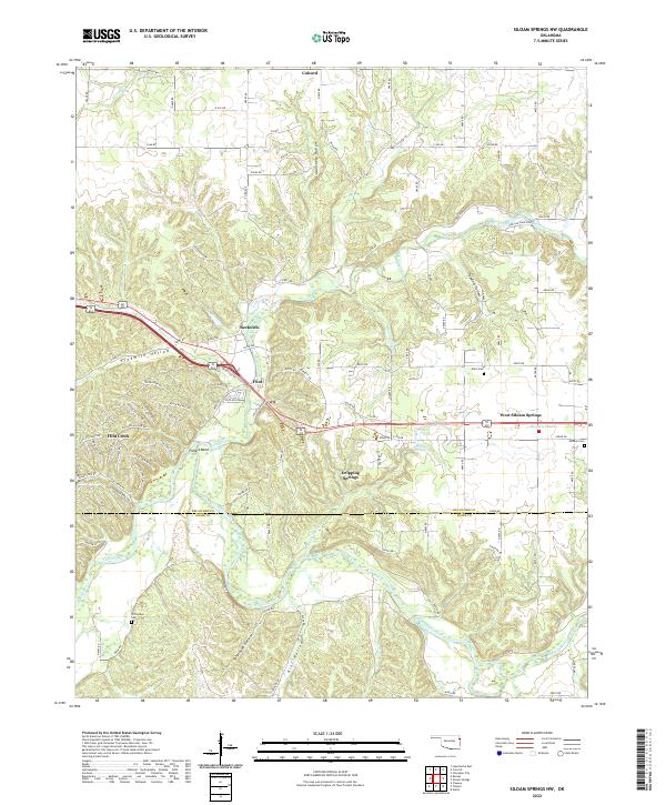 2022 Siloam Springs NW2022 Print · USGSOklahoma's Ozark foothills and the Illinois River valley are captured in this recent survey of Delaware and Adair counties. Genealogists and local historians can trace family locations near Crittenden Cem, the settlement at Flint, and along the banks of Flint Creek.
 - 2022 Map of Grove, 2022 Print
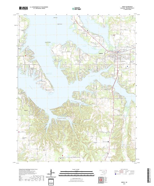 2022 Grove2022 Print · USGSGrove and the winding shores of Grand Lake O' The Cherokees are documented here in the early twenty-first century. Researchers can locate family sites at Zena Cem and Taueneacie Cem or trace the roads through Courthouse Prairie.
 - 2022 Map of Cayuga, 2022 Print
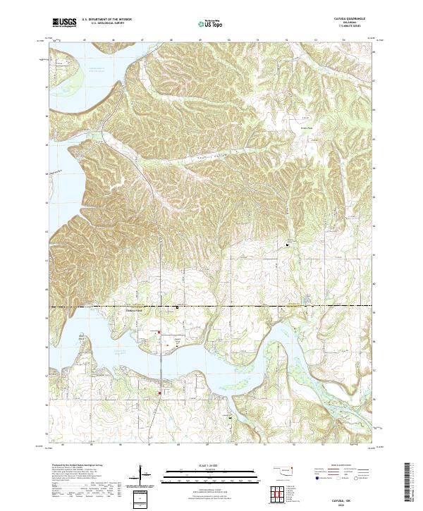 2022 Cayuga2022 Print · USGSNortheastern Oklahoma’s lake country is detailed here at the junction of the Elk River and the Grand Lake O' The Cherokees. Genealogists can trace family landmarks like Turkey Ford and several rural burial sites, including Bassett Grove Cem and Cayuga Cem.
 - 2024 Map of Cherokee City, 2024 Print
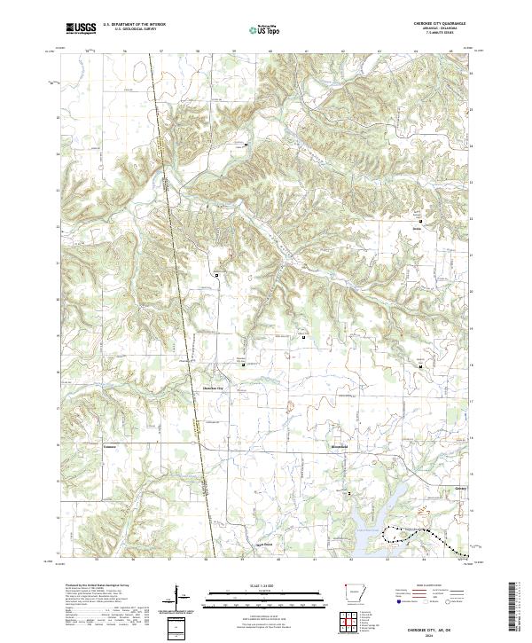 2024 Cherokee City2024 Print · USGSBenton County, Arkansas, and the Oklahoma borderlands are detailed in this contemporary look at a storied rural landscape. Researchers can locate numerous family-name landmarks and burial sites like Falling Springs Cem and Bozarth Cem near Cherokee City.
Showing maps 1-25 of 27
Top cities of Delaware County
- Grove historical maps
- Jay historical maps
- West Siloam Springs historical maps
- Colcord historical maps
- Kansas historical maps
- Bernice historical maps
Frequently asked questions
- What are the different types of historical maps available for Delaware County?
- What is the oldest map of Delaware County?
- Where can I purchase historical maps of Delaware County for my home or office?
- Where can I download high-res historical maps of Delaware County?
- Are there historical topographic maps available for Delaware County?
- Is there historical aerial imagery available for Delaware County?
- Where are historical maps of Delaware County sourced from?