2010s Maps of Delaware County, Oklahoma
Explore 93 historic maps of Delaware County from the 2010s. These maps offer a rare glimpse into what life looked like during the 2010s — showing old roads, neighborhoods, homes, and landmarks that have changed or disappeared over time.
Whether you're researching your family's past, planning a metal detecting trip, or studying how Delaware County's landscape evolved across the 2010s, these high-resolution maps are a powerful tool for exploring the history of this region.
- Focus on a specific era: All maps on this page are from the 2010s, giving you a focused view of this time period.
- See what’s changed: Compare century-old streets, trails, and buildings to today's modern landscape using overlays and satellite layers.
- Research with precision: Use these maps for genealogy, historical research, land use analysis, or educational projects.
- View, download, or print: Maps are fully viewable online in high resolution, and can be downloaded or printed for your own records.
Start exploring Delaware County's history through authentic maps from the 2010s. This is your window into the past.
Delaware County, OK maps
(93)- 2010 Map of Ketchum, 2010 Print
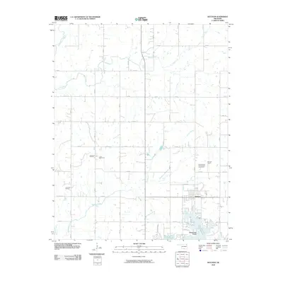 2010 Ketchum2010 Print · USGSNear the northern reaches of the Ozark foothills, this map shows the rural character and lakeside development of Craig County in 2010. Researchers can locate family sites like the Old Ketchum Cemetery and trace the shores of Grand Lake O' The Cherokees.
 - 2010 Map of Leach, 2010 Print
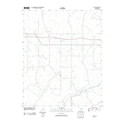 2010 Leach2010 Print · USGSDelaware County at the start of the 2010s reveals a quiet landscape of rural homesteads and winding Ozark streams. Genealogists and local historians can trace family properties along Saline Creek, Double Spring Creek, and the historical N Old Toll Gate Rd.
 - 2010 Map of Chloeta, 2010 Print
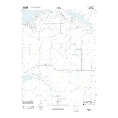 2010 Chloeta2010 Print · USGSNortheastern Oklahoma’s lakeside terrain is detailed here during the early twenty-first century, showing the intricate coves of the Neosho River. Researchers can pinpoint family history at Mose Ridge Cemetery or trace the geography of Ghost Hollow and the Eucha Dam.
 - 2010 Map of Lake Eucha West, 2010 Print
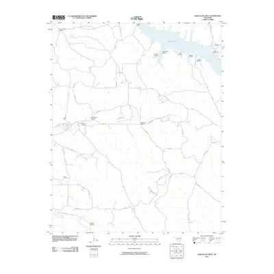 2010 Lake Eucha West2010 Print · USGSNortheastern Oklahoma at the turn of the decade is captured here as a landscape of deep hollows and reservoir waters. Genealogists and local historians can locate the Old Eucha Cemetery and trace the rugged paths through Ben Smith Hollow and Galcatcher Hollow.
 - 2010 Map of Dodge, 2010 Print
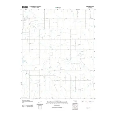 2010 Dodge2010 Print · USGSDelaware County at the start of the 21st century reveals a landscape defined by its rural road grid and quiet creek valleys. Genealogists can locate several family-named burial sites including Olympus Cemetery, Fields Cemetery, and Sloan Cemetery.
 - 2010 Map of Siloam Springs NW, 2010 Print
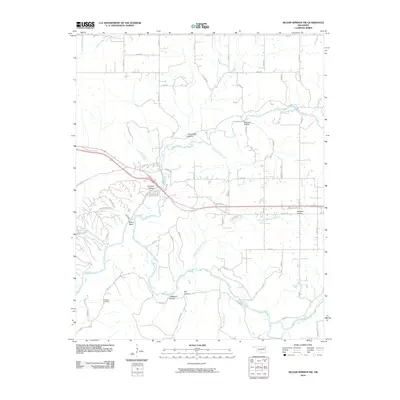 2010 Siloam Springs NW2010 Print · USGSThe Illinois River watershed in Delaware County is captured here as it appeared in the early 2000s, showing a landscape defined by its creek-carved hollows. Genealogists and researchers can locate Crittende Cemetery and trace the drainage of Flint Creek and Dripping Springs Branch.
 - 2010 Map of Rose, 2010 Print
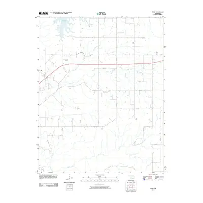 2010 Rose2010 Print · USGSMayes County’s rural landscape is captured here in the early twenty-first century as the countryside remained centered on family lands and waterways. Local researchers can locate family burial sites at Rose Cemetery and Little Rock Cemetery or trace the winding course of Snake Creek.
 - 2010 Map of Kansas, 2010 Print
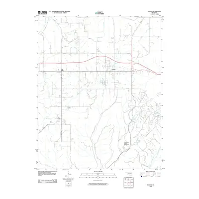 2010 Kansas2010 Print · USGSNortheastern Oklahoma's Delaware County is documented here during the early twenty-first century as rural communities and local waterways defined the landscape. Researchers can locate family landmarks such as Oaks Cemetery, the settlement of Twin Oaks, and the Illinois River valley.
 - 2010 Map of Spavinaw, 2010 Print
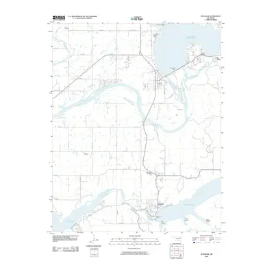 2010 Spavinaw2010 Print · USGSThe Neosho River valley and its massive reservoir systems define this corner of Oklahoma. Researchers can trace the shoreline of Grand Lake O' The Cherokees and locate landmarks like the Pensacola Dam, Spavinaw Cemetery, and the Grandcraft Landing Strip.
 - 2010 Map of Colcord, 2010 Print
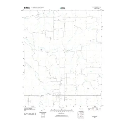 2010 Colcord2010 Print · USGSColcord and the neighboring settlement of Row are captured in the early twenty-first century as they sit nestled among the Ozark foothills. Family historians can locate several local burial sites, including Ofield Cemetery, Row Cemetery, and Beck Cemetery along Spavinaw Creek.
 - 2010 Map of Salina SE, 2010 Print
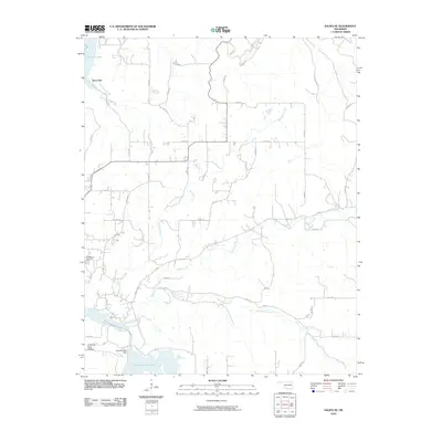 2010 Salina SE2010 Print · USGSEastern Oklahoma's rural landscape comes into focus here during the early twenty-first century, centered on the Hoot Owl settlement. Genealogists can locate the Ross Mayes Cemetery while researchers trace the waters of Saline Creek and the Chimney Rock Dam.
 - 2010 Map of Afton, 2010 Print
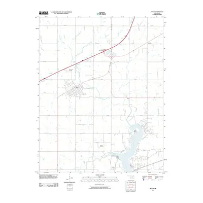 2010 Afton2010 Print · USGSThe township of Afton and the surrounding Ottawa County prairie are captured here during a period of modern lakeside development. Genealogists and local researchers can pinpoint family sites at Mount Hope Cemetery, Sixkiller Cemetery, and the shoreline at Indian Hills.
 - 2010 Map of Sycamore, 2010 Print
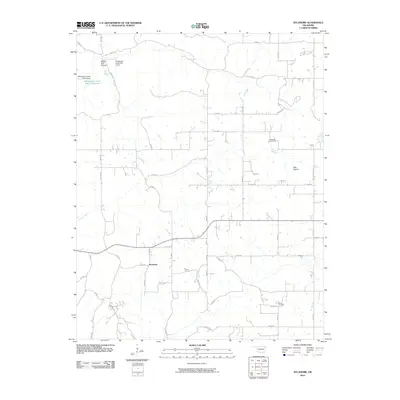 2010 Sycamore2010 Print · USGSSycamore and the rural landscape of Delaware County are captured here in the early twenty-first century. Researchers can locate family burial plots at Indianola Cemetery or Ward Cemetery and trace the modern watershed near Whitewater Creek Site 3 Reservoir.
 - 2010 Map of Grove, 2010 Print
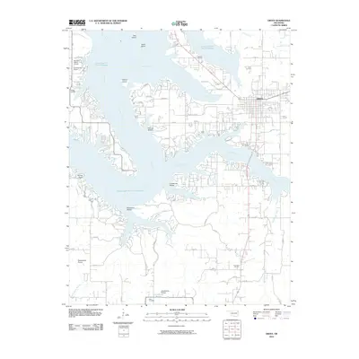 2010 Grove2010 Print · USGSThe eastern shores of Grand Lake O' The Cherokees are shown in detail during the early twenty-first century. Researchers can trace family history at Buzzard Cemetery and Tauuneacie Cemetery or explore the terrain of Courthouse Prairie and Woodward Hollow.
 - 2010 Map of Jay, 2010 Print
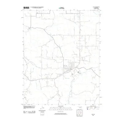 2010 Jay2010 Print · USGSThe Delaware County seat of Jay and the surrounding prairies are captured here in the early 2000s as the regional road network expanded. Genealogists can locate family sites at Duffield Memorial Cemetery, Jumper Cemetery, and the rural settlement of Zena.
 - 2010 Map of Lake Eucha East, 2010 Print
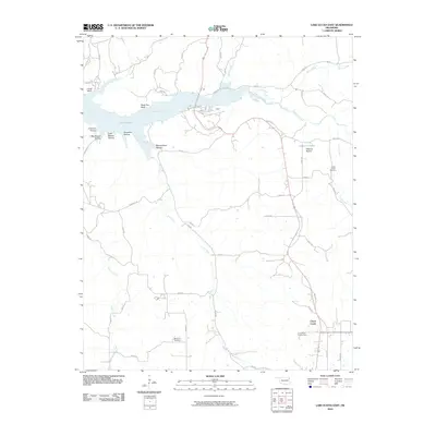 2010 Lake Eucha East2010 Print · USGSDelaware County at the start of the 2010s reveals a quiet landscape of reservoir waters and rural homesteads. Genealogists and local historians can trace the creek-fed geography of Lake Eucha, follow the path of Spavinaw Creek, and locate the community of Cloud Creek.
 - 2010 Map of Bernice, 2010 Print
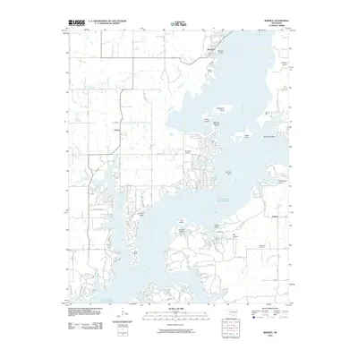 2010 Bernice2010 Print · USGSDelaware County shoreline and communities appear in modern detail at the turn of the decade. Researchers can trace local heritage through Wallen Cemetery, locate the Cherokee Seaplane Base, and explore the developed coves around Cleora.
 - 2010 Map of Afton NE, 2010 Print
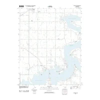 2010 Afton NE2010 Print · USGSNortheastern Oklahoma at the turn of the 21st century reveals a landscape shaped by the waters of the Grand Lake O' The Cherokees. Researchers can locate family roots at Fairland Cemetery or trace the developed shoreline near Copeland and Sulphur Bend.
 - 2010 Map of Cayuga, 2010 Print
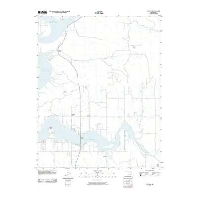 2010 Cayuga2010 Print · USGSDelaware County shoreline and river confluences appear in detail during the early twenty-first century. Genealogists and local historians can trace the rural layout of Cayuga, Turkey Ford, and the grounds of Howard Cemetery near the river banks.
 - 2010 Map of South West City, 2010 Print
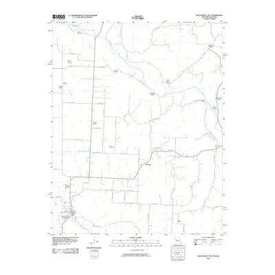 2010 South West City2010 Print · USGSThe Missouri-Oklahoma borderlands appear in detail in 2010, centered on the rural settlements and creek valleys near South West City. Researchers can trace old family burial grounds like Williams-Hays Cemetery and locate the Honey Creek Post Office along the water.
 - 2010 Map of Tiff City, 2010 Print
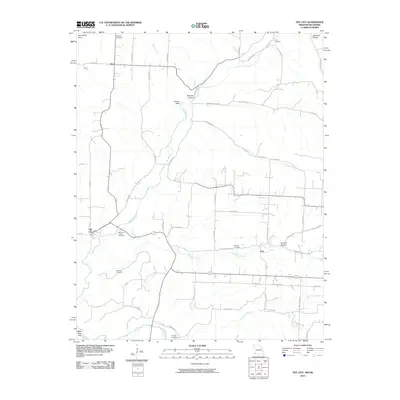 2010 Tiff City2010 Print · USGSTiff City and the rural borderlands of McDonald County appear here in the early twenty-first century as a landscape of creeks and family cemeteries. Genealogists can locate several historic burial grounds like Mannings Chapel Cemetery and Mitchell Cemetery near Coy.
 - 2011 Map of Cherokee City, 2011 Print
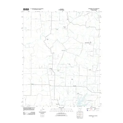 2011 Cherokee City2011 Print · USGSBenton County and the Oklahoma borderlands are captured here in the early 2000s, showing a landscape of upland prairies and deep hollows. Trace local family history at Cherokee City Cemetery and Bloomfield Cemetery, or locate the historic crossing at Keiths Ford.
 - 2011 Map of Siloam Springs, 2011 Print
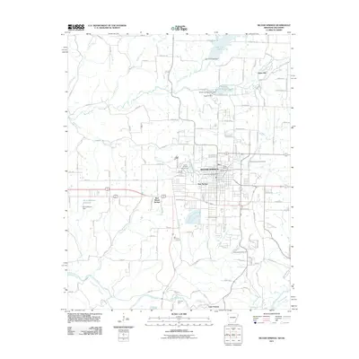 2011 Siloam Springs2011 Print · USGSSiloam Springs and its borderlands with Oklahoma are captured here in the early twenty-first century, showing the established town site and academic landscape. Family historians can trace local roots through the Oak Hill Cemetery, Bell Cemetery, and the historic grounds of John Brown University.
 - 2011 Map of Colcord NE, 2011 Print
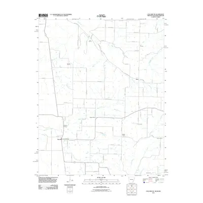 2011 Colcord NE2011 Print · USGSBenton County at the start of the 2010s reveals a structured agricultural landscape defined by the borders of Arkansas and Oklahoma. Researchers can trace family history through numerous rural sites like Wann Cemetery, Beatie Prairie, and the Maysville Post Office.
 - 2012 Map of Tiff City, 2012 Print
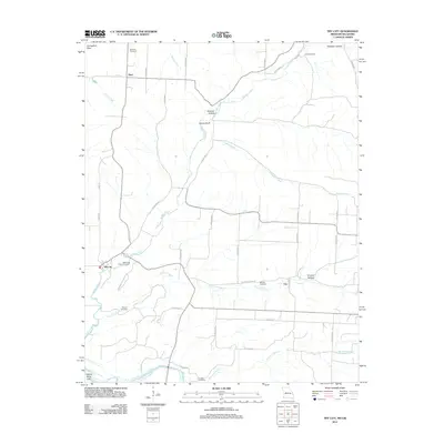 2012 Tiff City2012 Print · USGSThe Missouri-Oklahoma borderlands in the early twenty-first century are defined by small crossroads like Tiff City and the cattle-and-creek landscape of the Springfield Plain. Genealogists can trace family footprints at Rinehart Cemetery, Keenon Cemetery, or the rural community of Hart.
Showing maps 1-25 of 93
Top cities of Delaware County
- Grove historical maps
- Jay historical maps
- West Siloam Springs historical maps
- Colcord historical maps
- Kansas historical maps
- Bernice historical maps
Frequently asked questions
- What are the different types of historical maps available for Delaware County?
- What is the oldest map of Delaware County?
- Where can I purchase historical maps of Delaware County for my home or office?
- Where can I download high-res historical maps of Delaware County?
- Are there historical topographic maps available for Delaware County?
- Is there historical aerial imagery available for Delaware County?
- Where are historical maps of Delaware County sourced from?