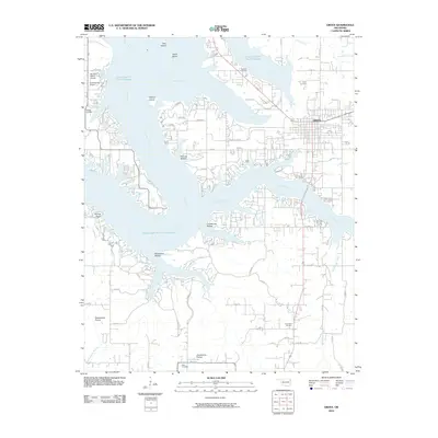
2010 Map of Grove
USGS Topo · Published 2010About this map
Grand Lake O' The Cherokees dominates the landscape of this 2010 survey, illustrating the complex shoreline of the Neosho River valley. The city of Grove serves as the primary urban center, situated near the confluence of Spring Branch and Elm Creek. The map provides a detailed view of the surrounding peninsulas and islands, including Patricia Island, Bad Island, and Weed Island.
Find a feature on this map
58 named features on this map. Tap any name to fly to it.
Don’t see what you’re looking for? This feature index may not catch every label — zoom into the map to look around manually.
Map Details
Editions of this 2010 Grove Map
This is the sole edition of this map. No revisions or reprints were ever made.
Other maps of this area

1899 · Siloam Springs
USGS Topo · 1:125,000

1903 · Siloam Springs
USGS Topo · 1:125,000

1904 · Siloam Springs
USGS Topo · 1:125,000

1907 · Wyandotte
USGS Topo · 1:125,000

1909 · Wyandotte
USGS Topo · 1:125,000

1954 · Tulsa
USGS Topo · 1:250,000

1958 · Tulsa
USGS Topo · 1:250,000

1963 · Tulsa
USGS Topo · 1:250,000
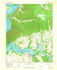
1964 · Cayuga
USGS Topo · 1:24,000

1964 · Dodge
USGS Topo · 1:24,000